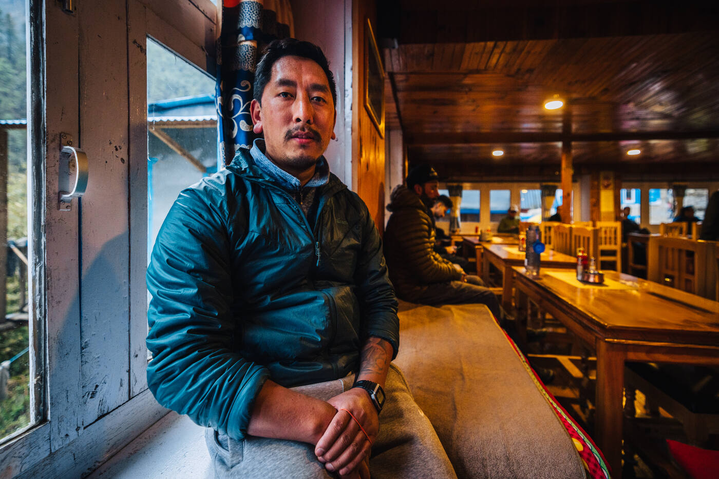
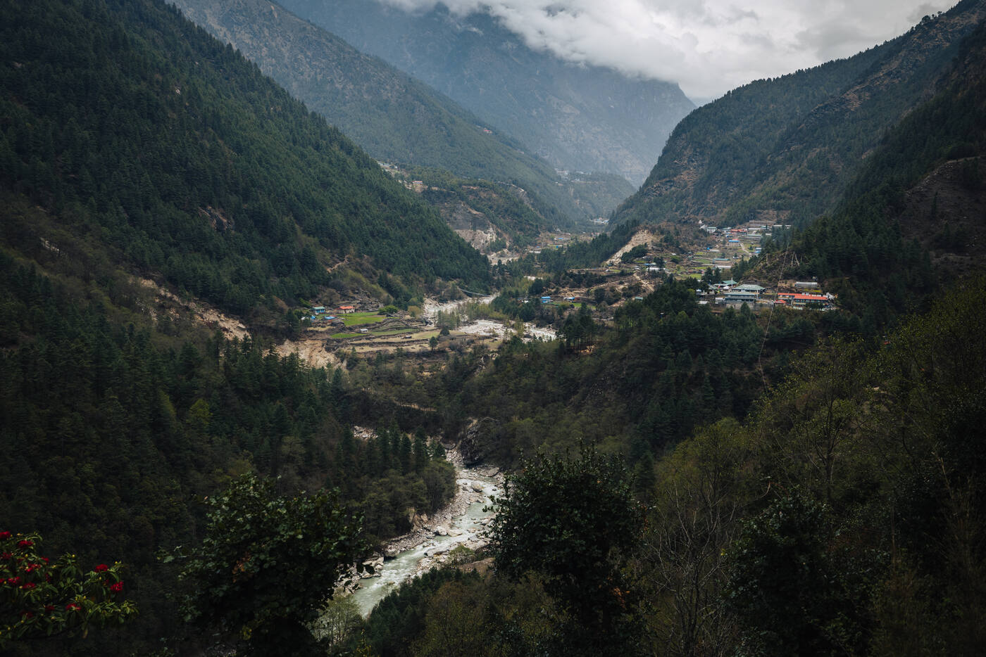
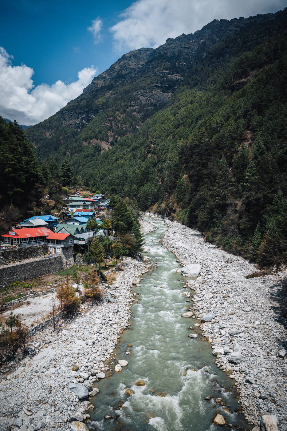
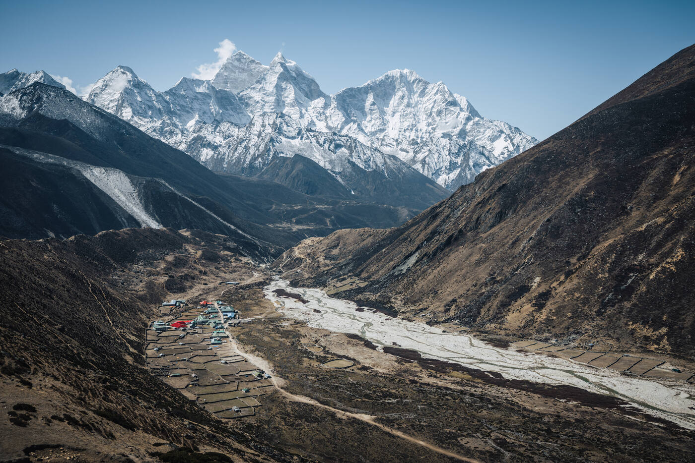
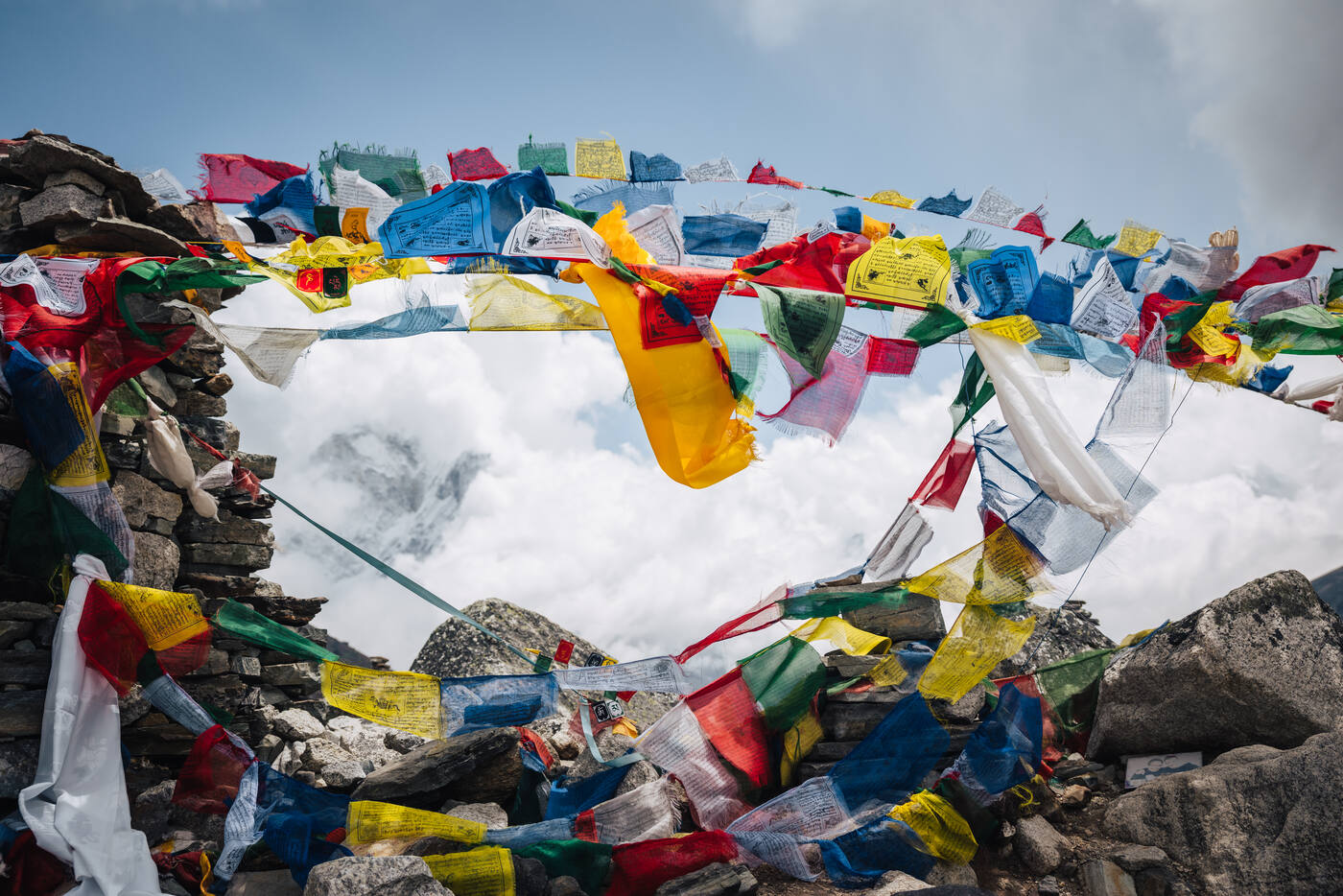
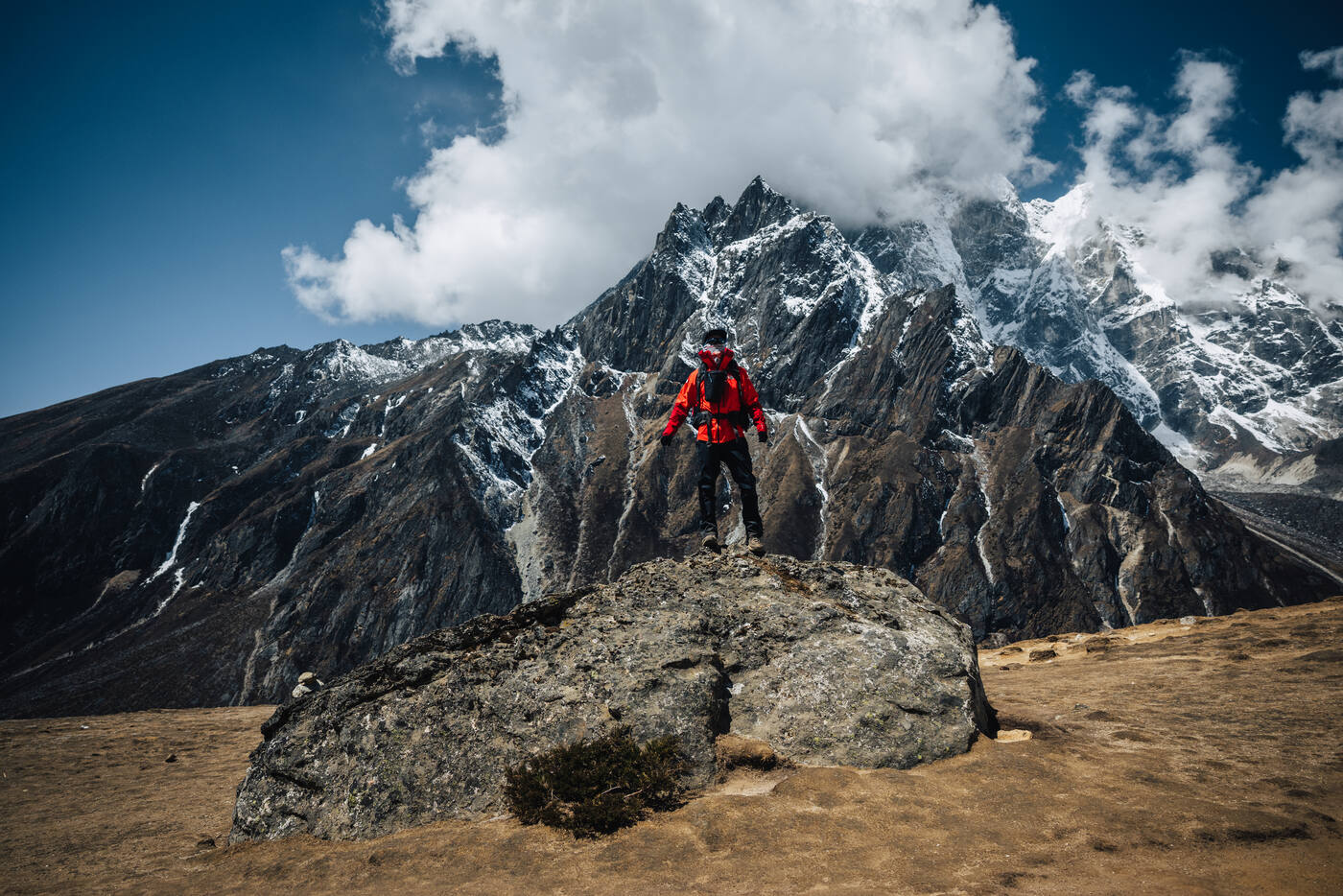
Ten days through the Khumbu Valley, from Lukla to Trekker's Rock at the foot of the world's highest mountain.
April 202510 DaysKhumbu Valley, Nepal
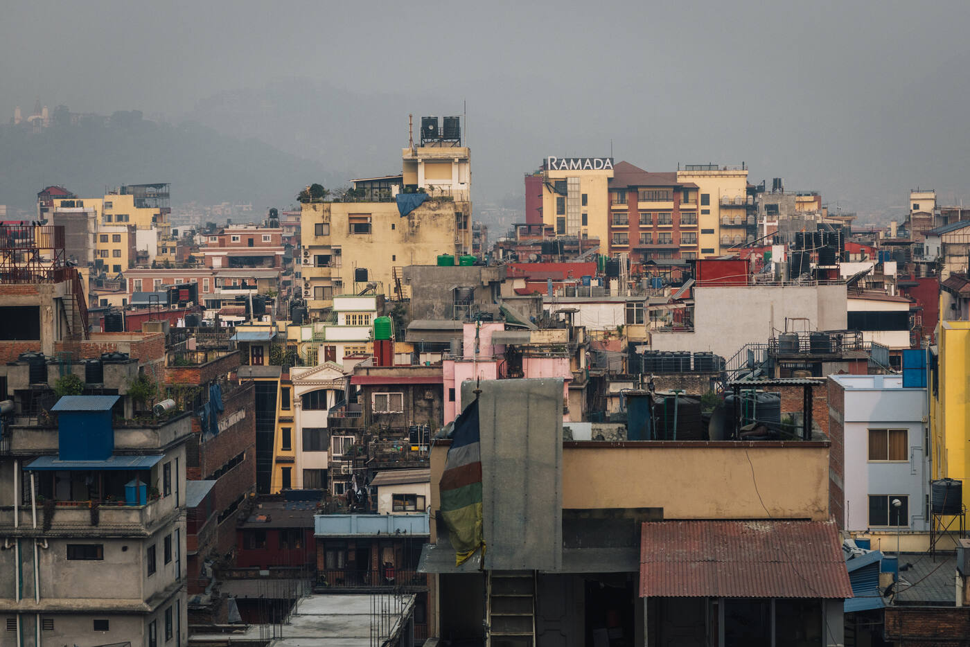
After months of grueling training, we finally arrived in Kathmandu. The city welcomed us with its familiar chaos: prayer flags fluttering against a backdrop of distant peaks, the scent of incense mixing with diesel fumes, and the energy of a gateway to the world's highest mountains. We spent our days methodically checking gear, making those crucial last-minute additions (you can never have too many spare batteries at altitude), and letting our bodies adjust to the new time zone.
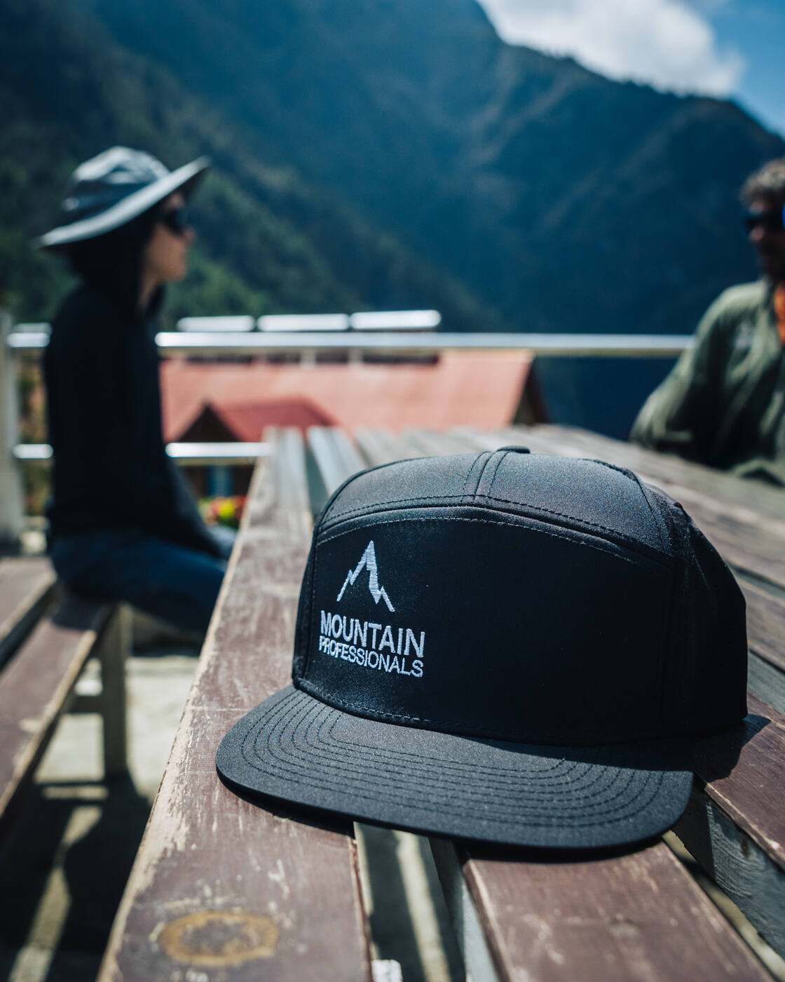
This wasn't just another climb for us. Everest represents the culmination of our Seven Summits journey. Our seventh and final peak, and undoubtedly our greatest challenge yet. Every previous summit has led us here: Denali's bitter cold, Aconcagua's relentless winds, Vinson's isolation. Each mountain taught us something we'll need in the weeks ahead. We're climbing with Mountain Professionals, led by Ryan Waters, our fourth expedition together after Aconcagua, Elbrus, and Vinson.
But first, the trek. Ten days from Lukla to Everest Base Camp. What follows is a day-by-day journal of that journey.
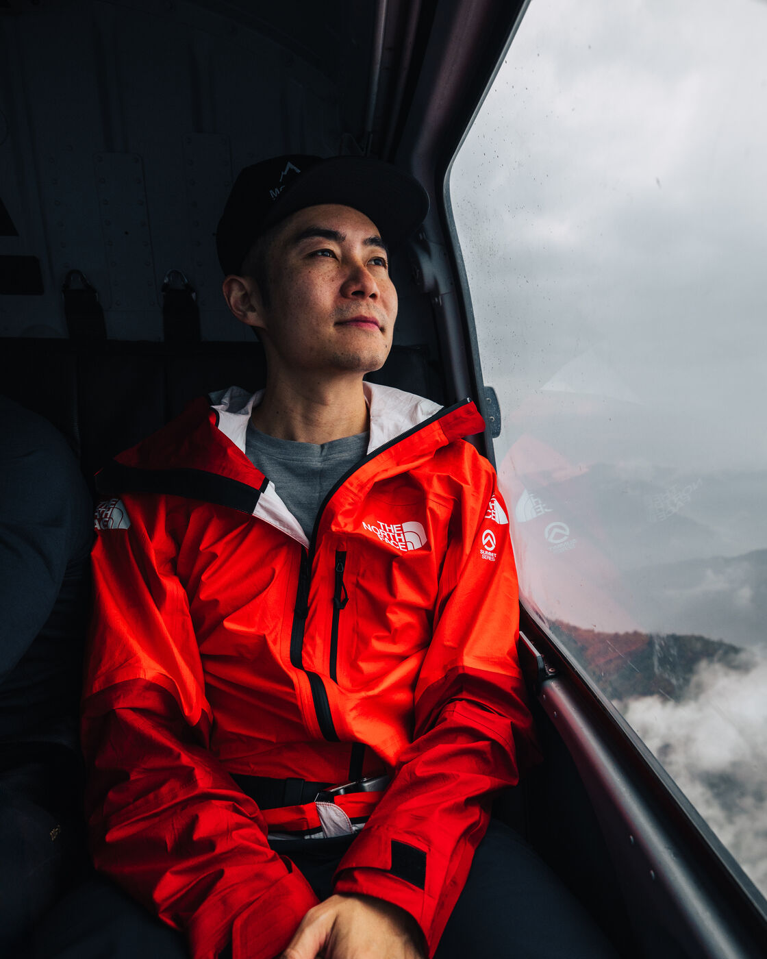
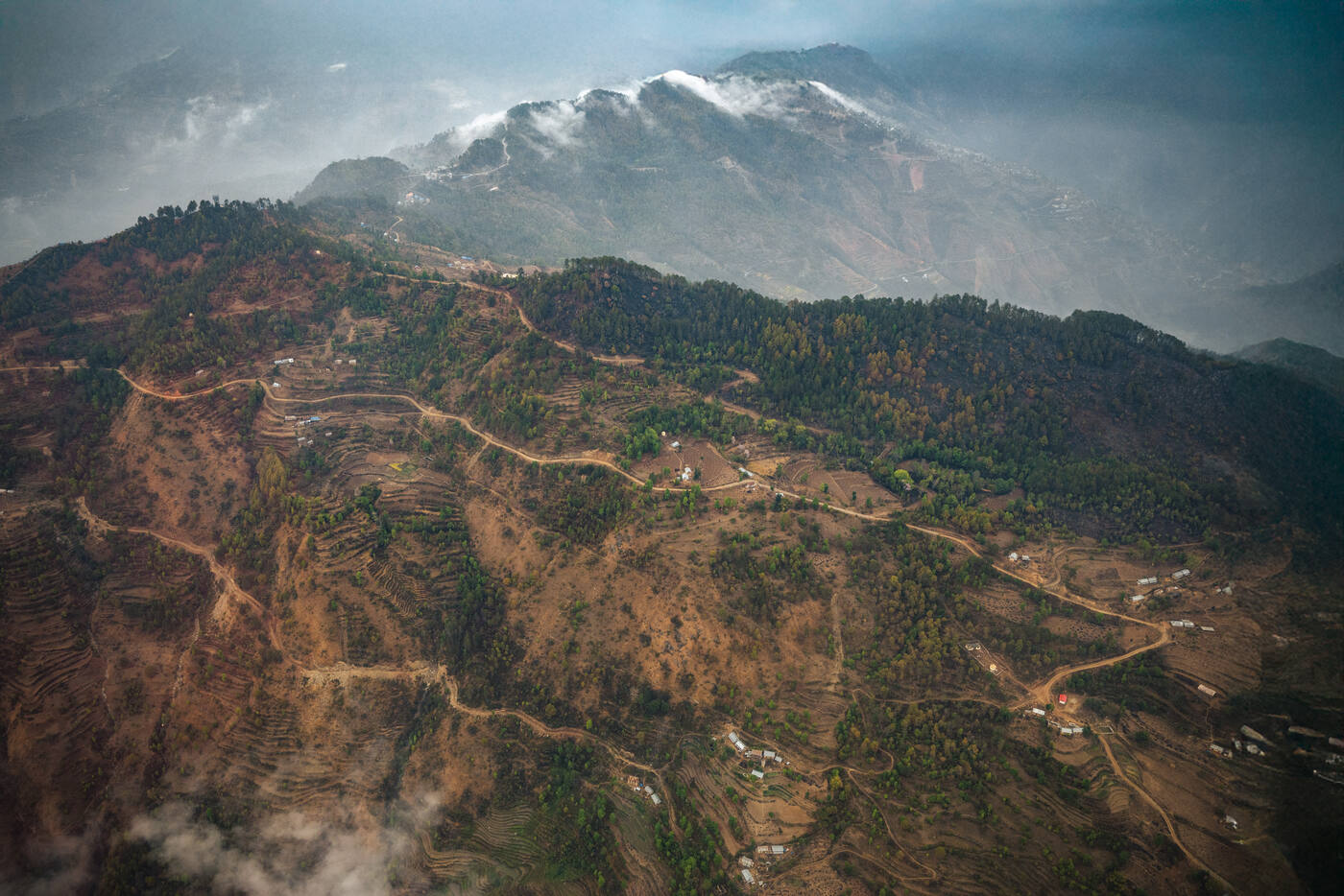
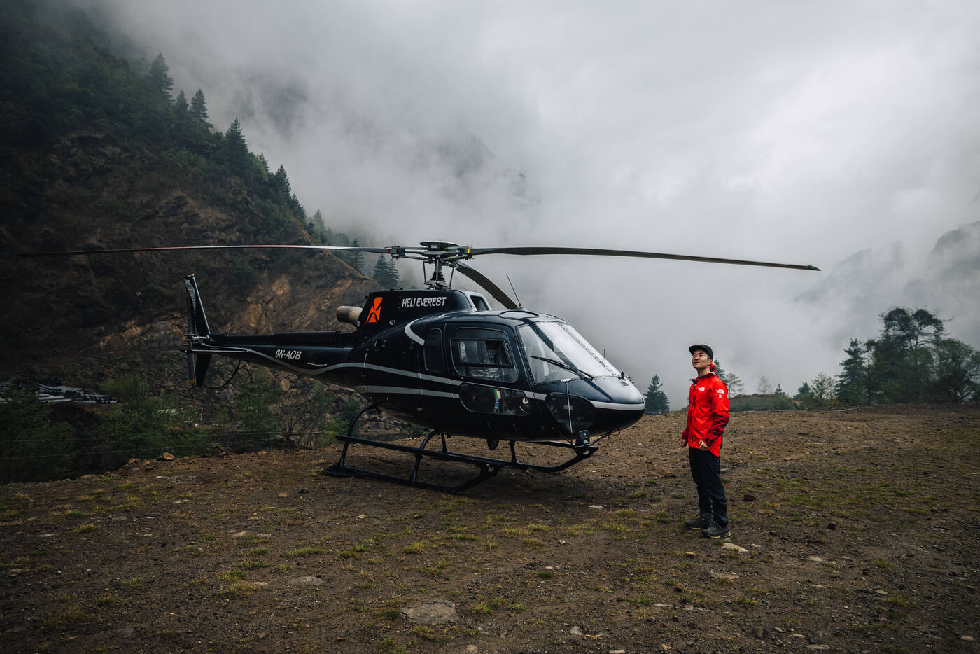
We kicked things off with a helicopter ride to Surke, then hiked up 600 meters to Lukla. Starting the trek from below the famous airport felt right, earning every meter of elevation gain. As we walked into Lukla, I couldn't help but think back to 2018 when I first did the Everest Base Camp trek. Back then, reaching base camp felt like the ultimate accomplishment, one of the hardest things I'd ever done. Now, it's merely where the real climb begins.
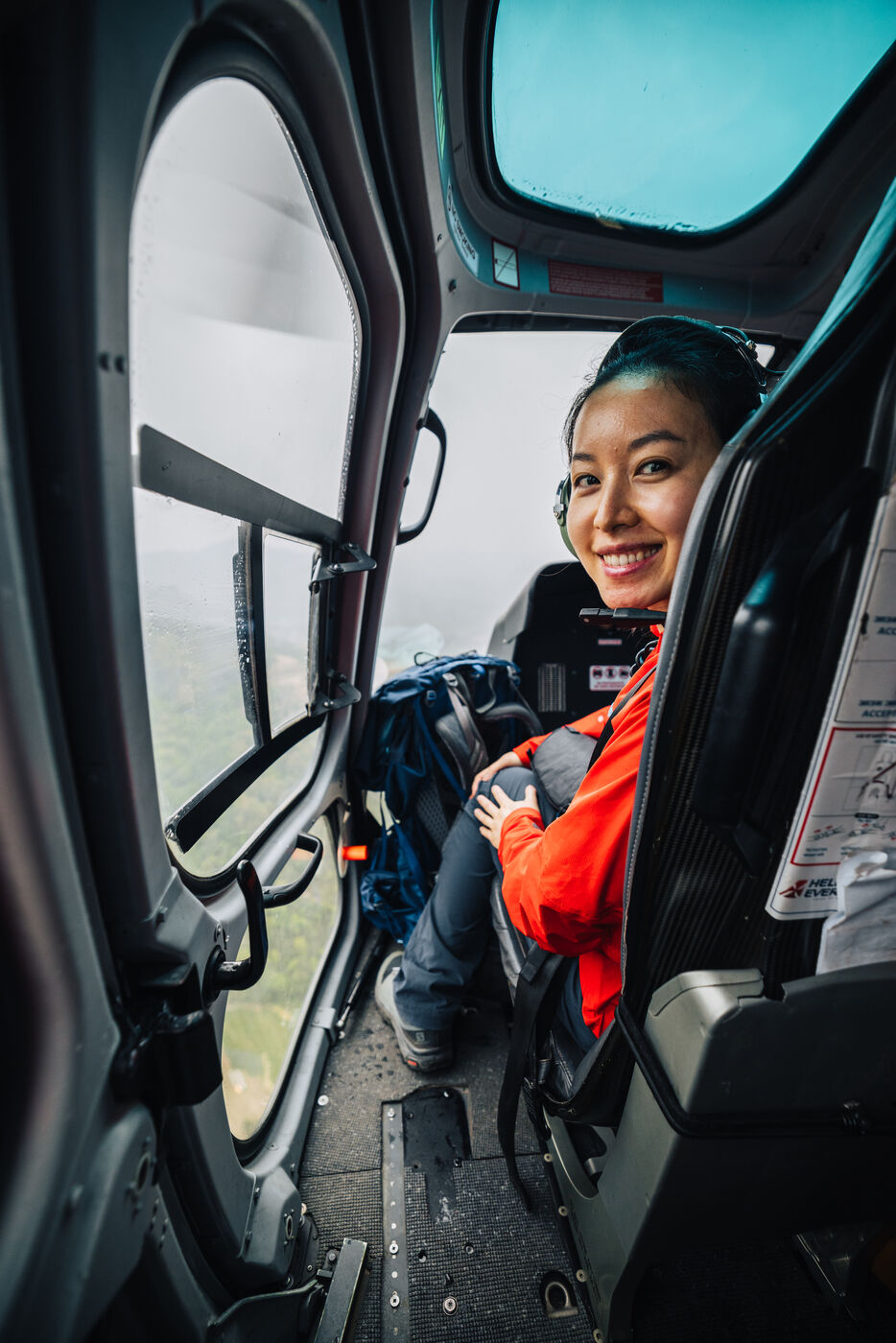
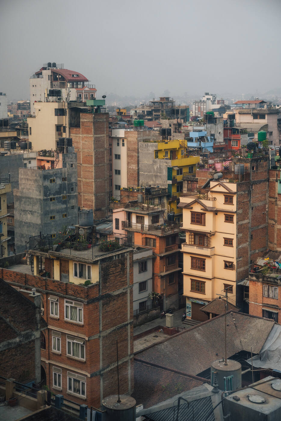
Kathmandu from above. Our last glimpse of the capital before heading into the mountains.The helicopter ride from Kathmandu to Surke. A dramatic way to start the trek.The view from the helicopter as we fly toward Surke. Terraced hillsides give way to towering peaks.
The path ahead is clear: ten days to base camp, then two rotations up the mountain to acclimatize before we wait for our summit window. Our bodies feel strong, our minds focused. We're as ready as we'll ever be.
Touching down at Surke. From here, we hike 600 meters uphill to reach Lukla.
Day 02
Lukla to Phakding
Lukla 2,850m · Phakding 2,620m · 7.1km
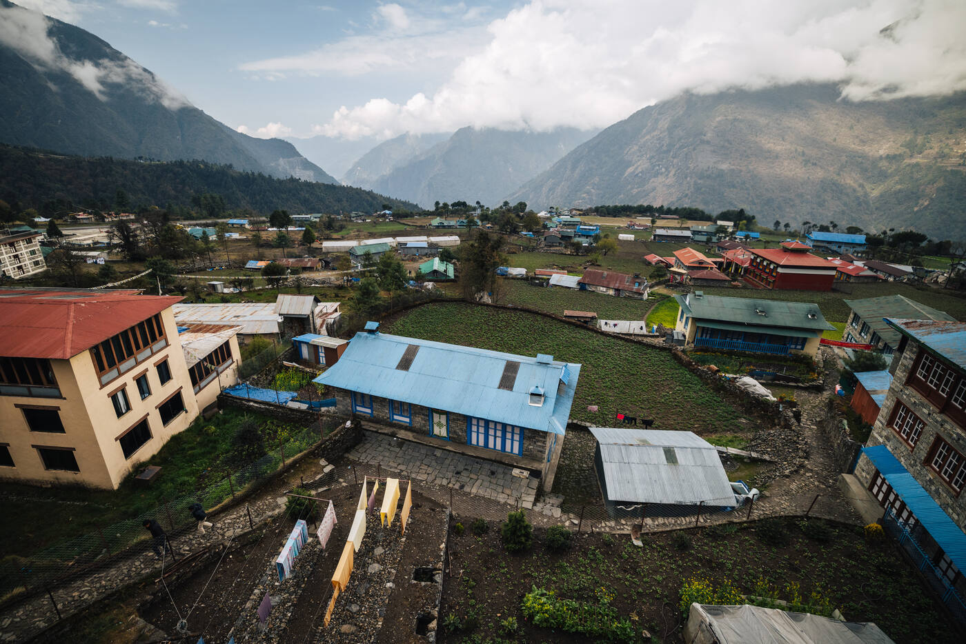
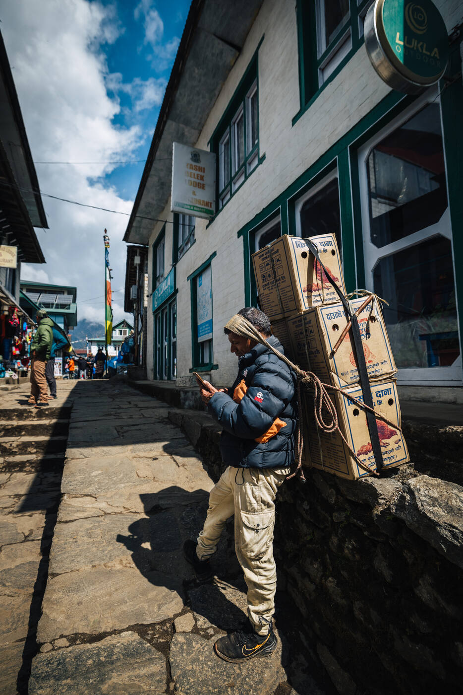
Started the morning with a quick photo walk around Lukla before setting off at 10am. The famous airport runway looked even more dramatic in the morning light, with trekkers and porters already bustling through the village streets.
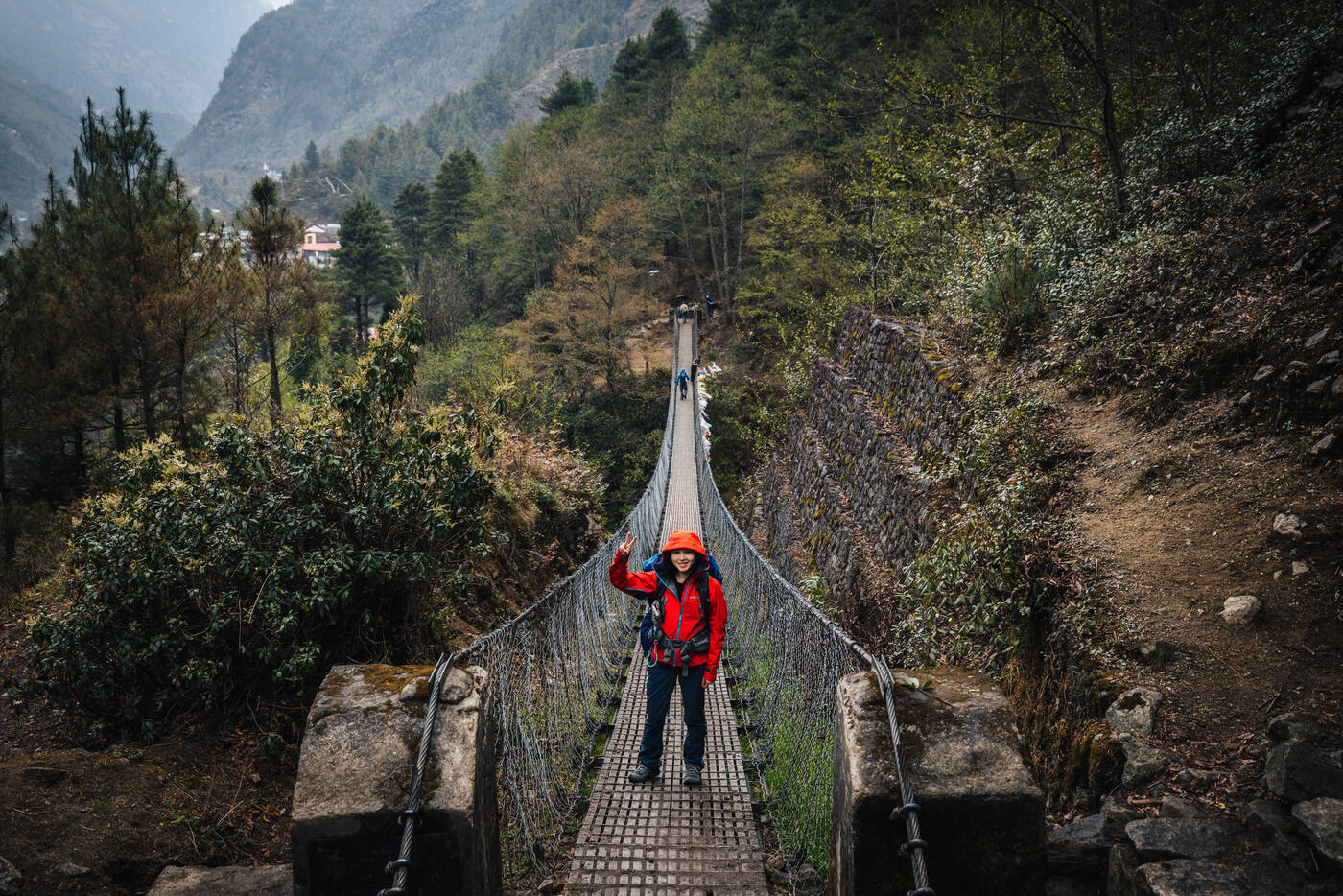
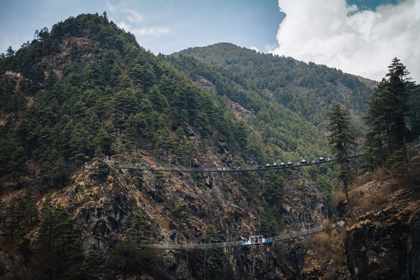
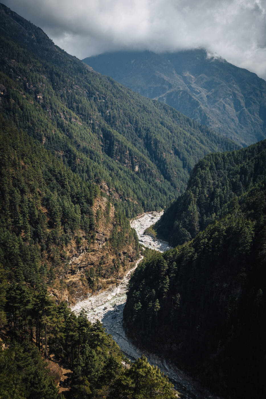
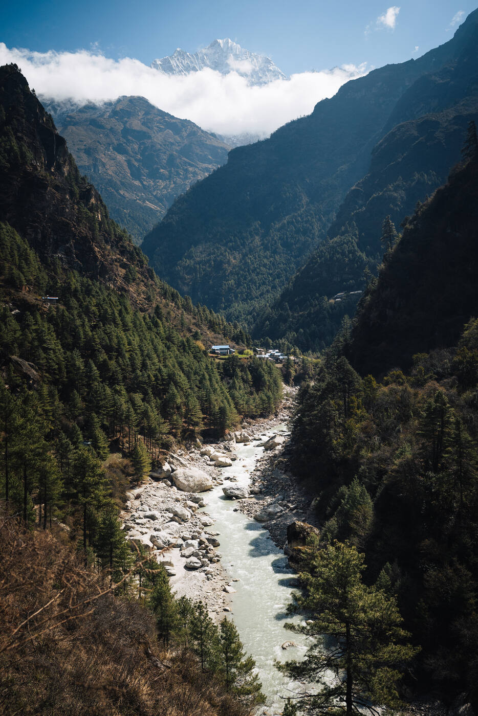
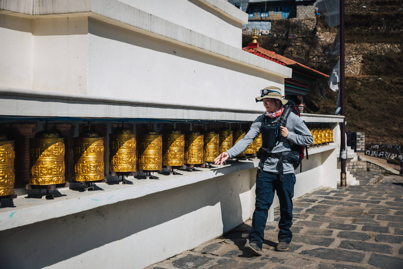
Today's trek was all about discipline: slow and steady, keeping the heart rate in Zone 1 despite the excitement of finally being on the trail. It's tempting to push harder when you feel good, but at altitude, patience is everything. We stopped at Sherpa's View Point Lodge after 4.5km for a well-earned tea break. The remaining 2.6km to Phakding passed quickly, with prayer wheels spinning and suspension bridges swaying gently over the Dudh Koshi River.
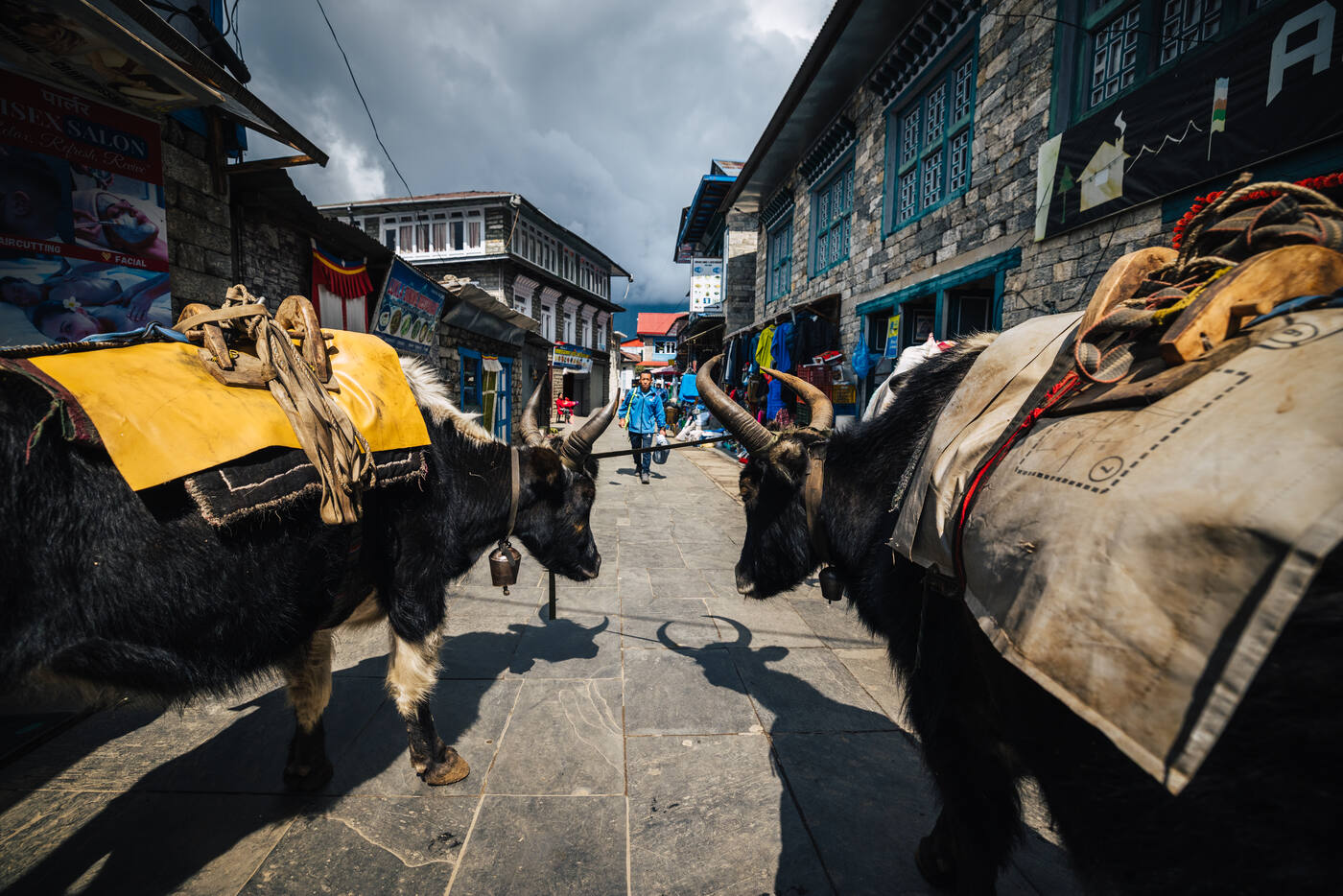
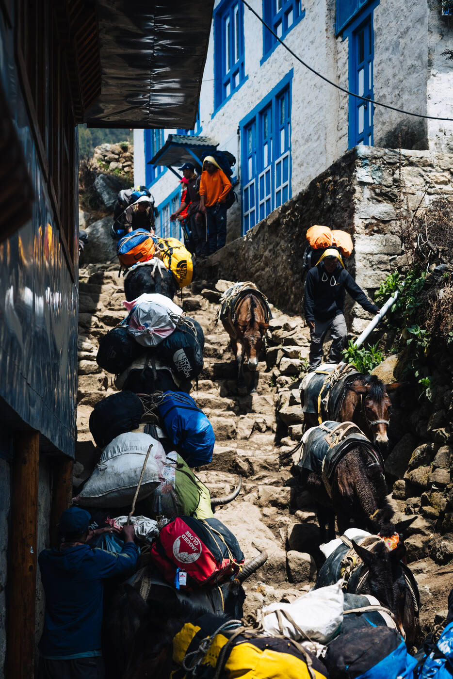
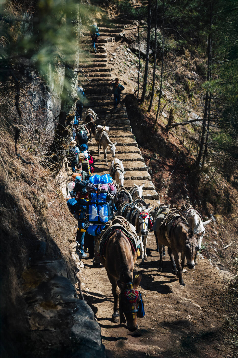
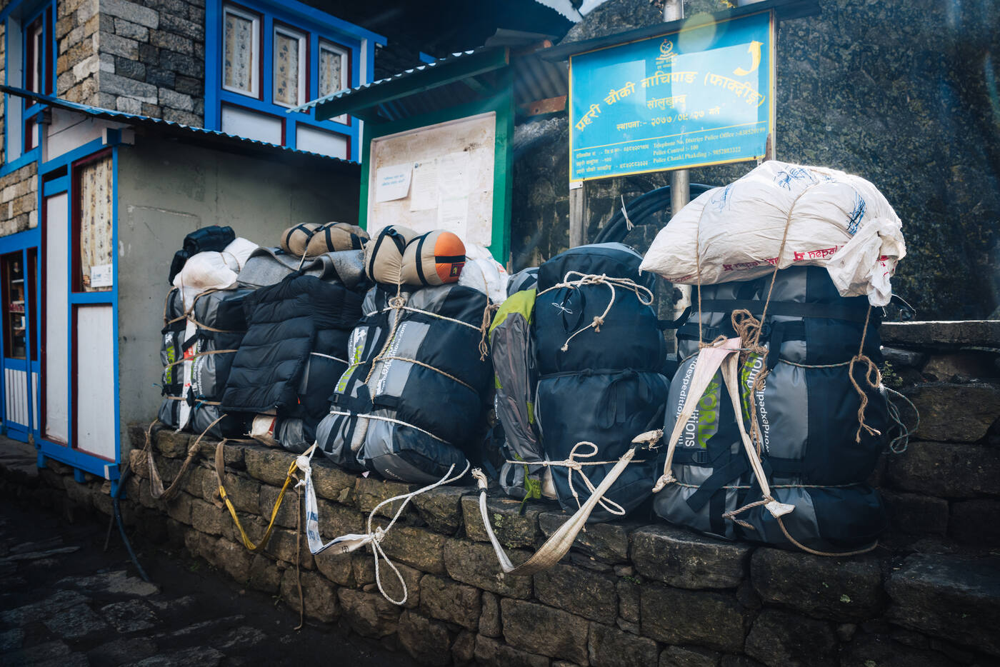
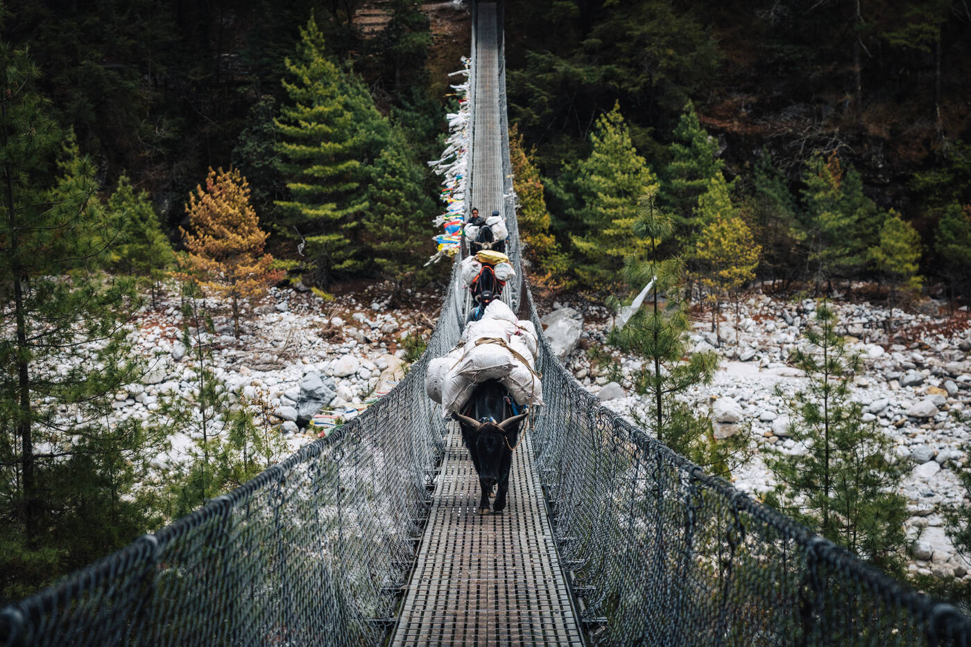
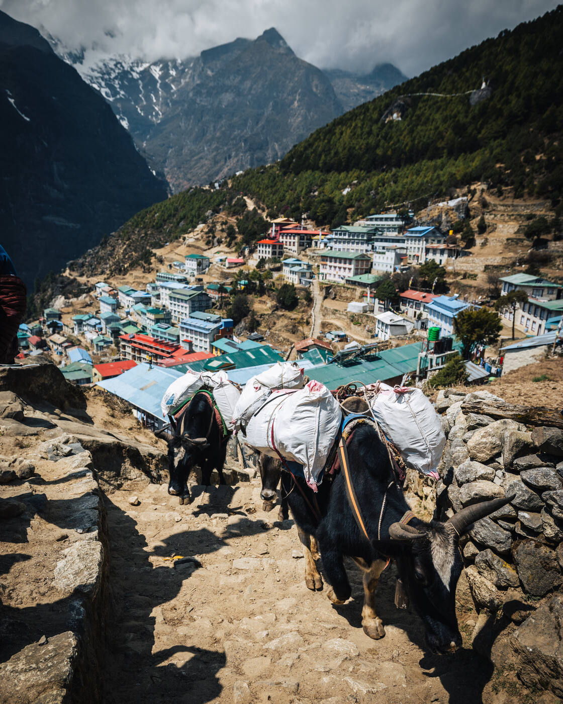
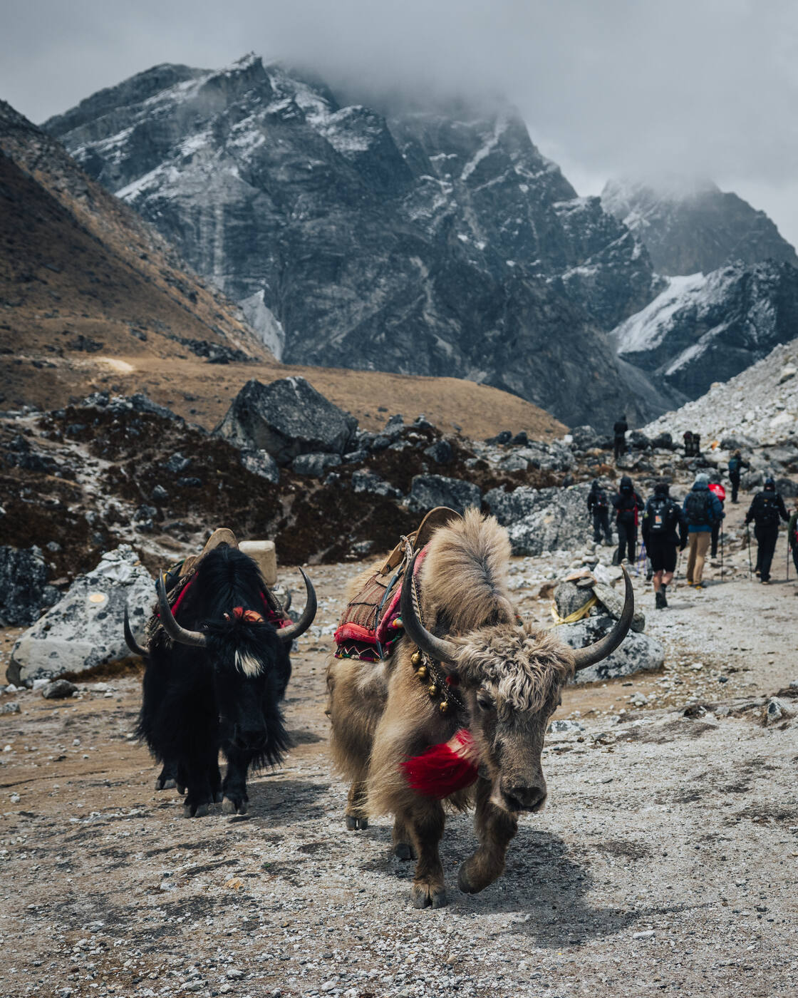
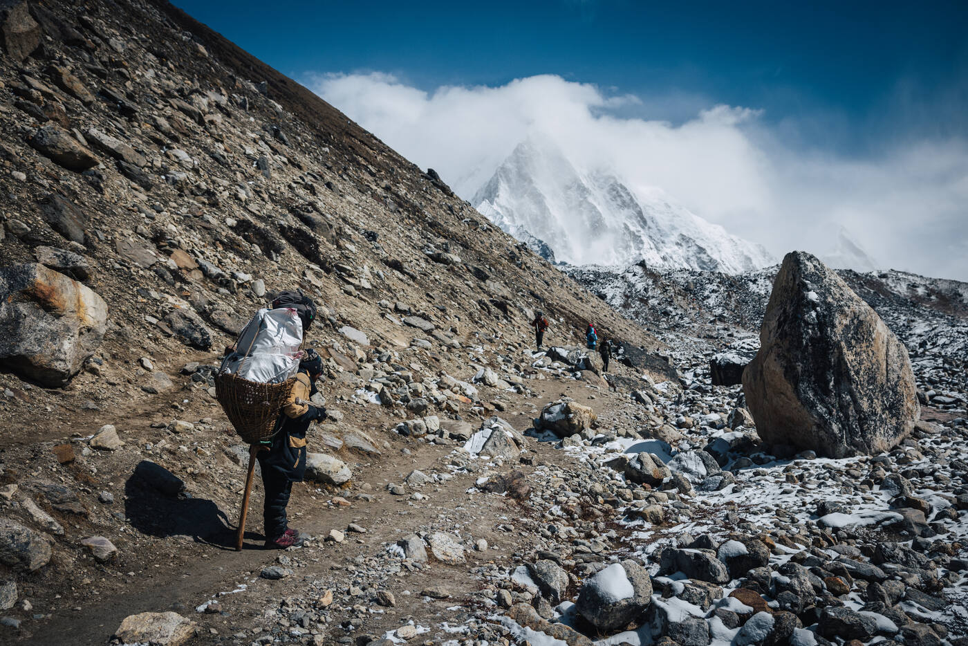
Yak trains are the freight system of the Khumbu. They always have right of way on the trail.
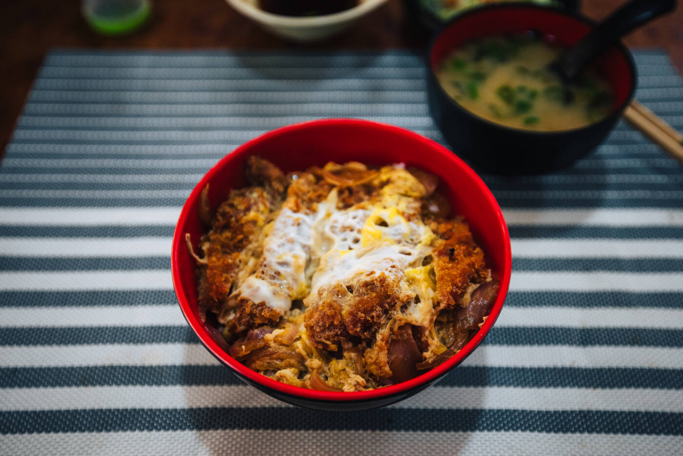
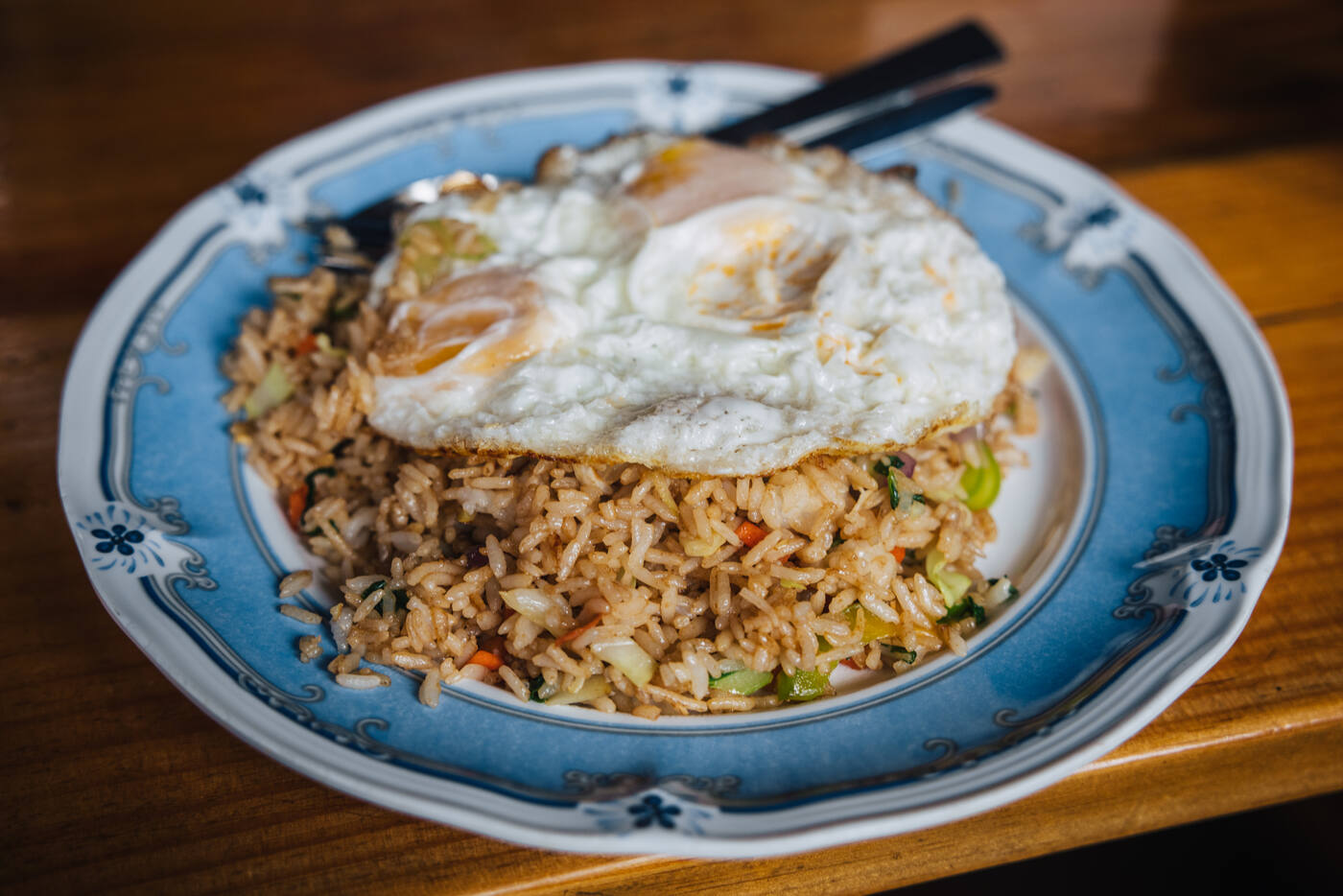
Rolled into See You Lodge in Phakding at 1:20pm, just in time for lunch. Ordered the works: chicken curry rice, vegetable soup, and vegetable egg spring rolls. To my shock, the WiFi here is blazing fast. 254 Mbps down, 91 Mbps up. That's faster than most people have at home. The Khumbu Valley has definitely upgraded its infrastructure since my last visit.
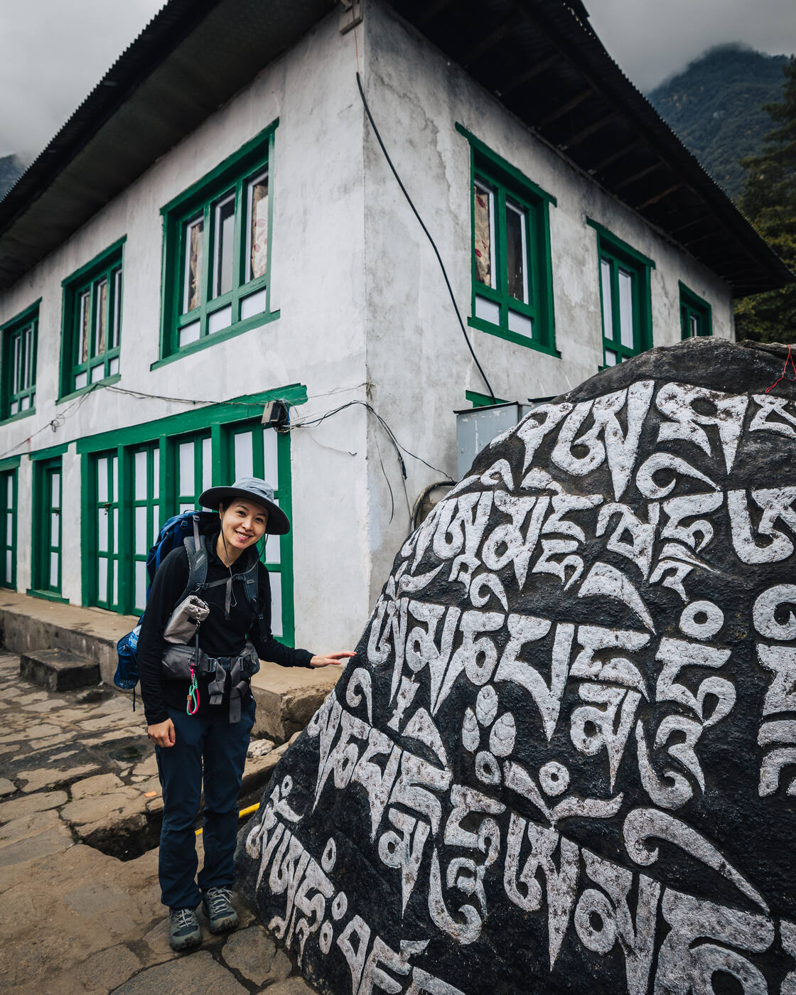
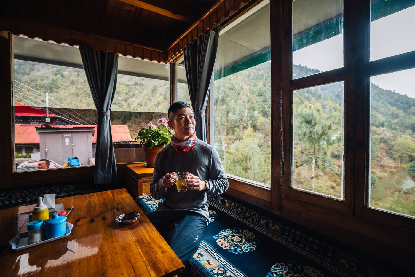
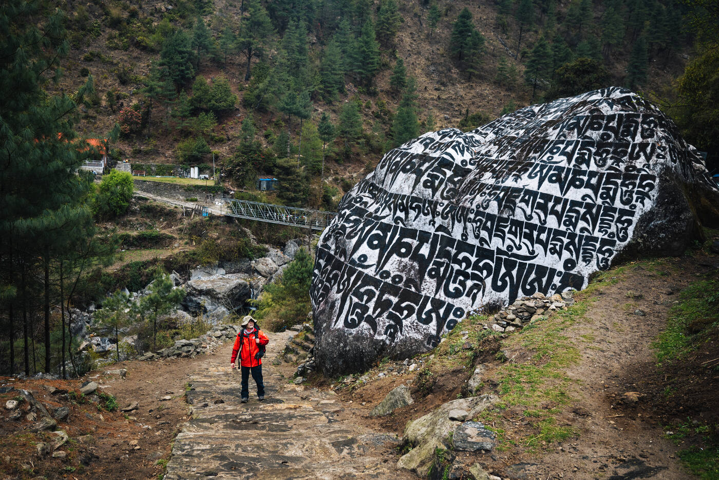
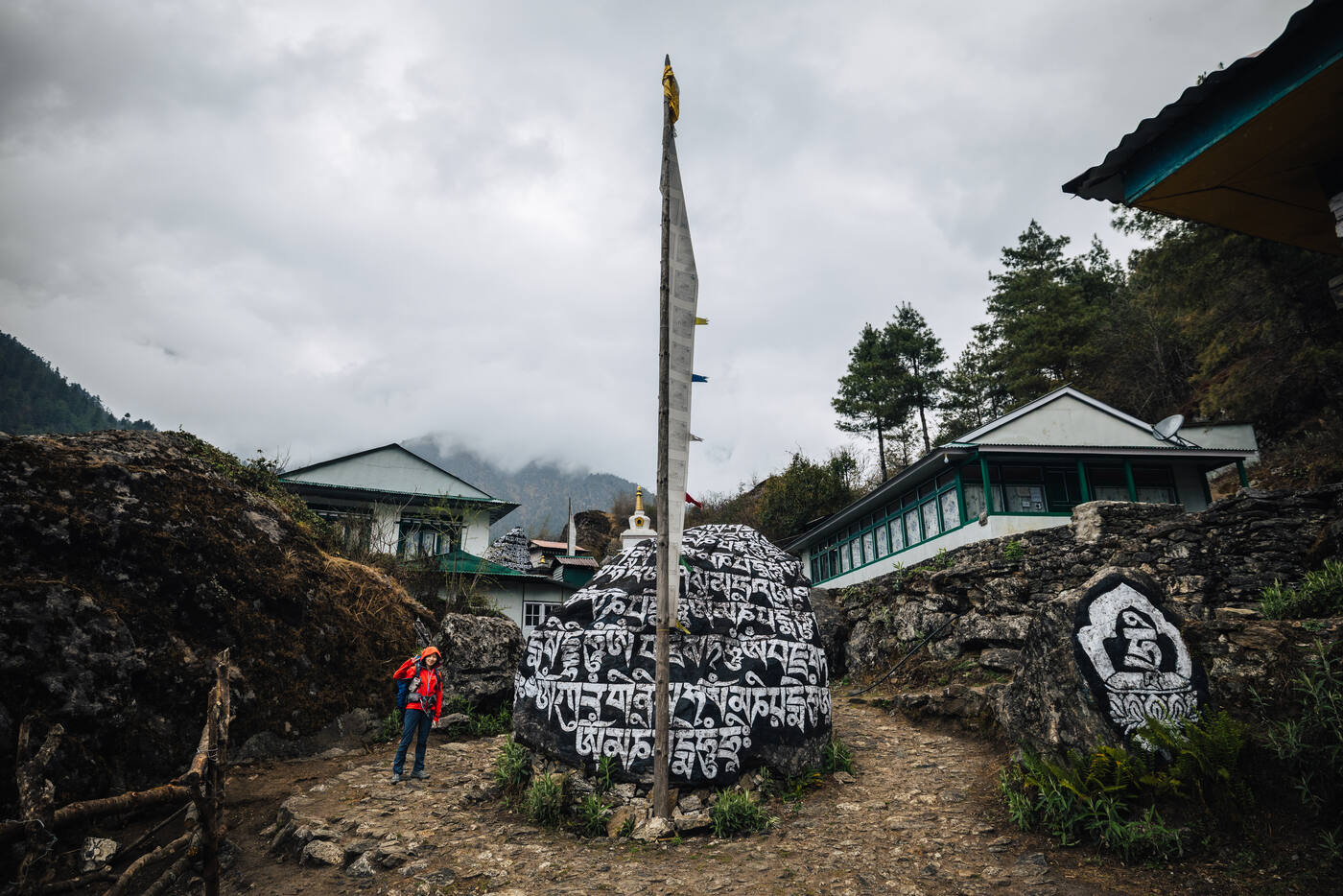
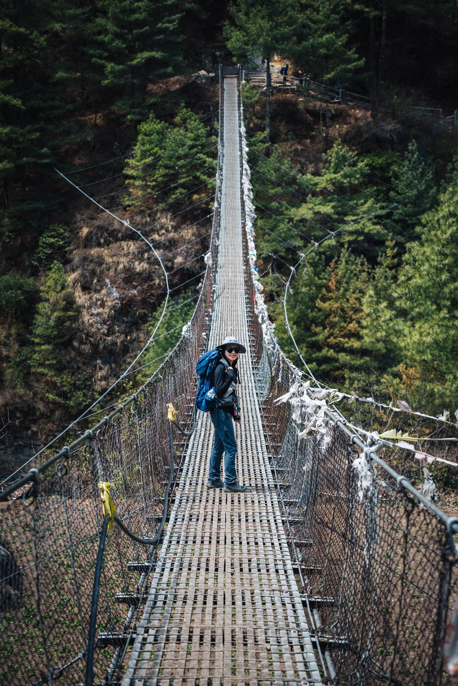
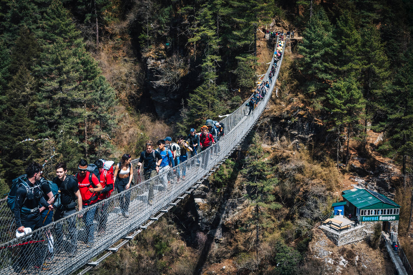
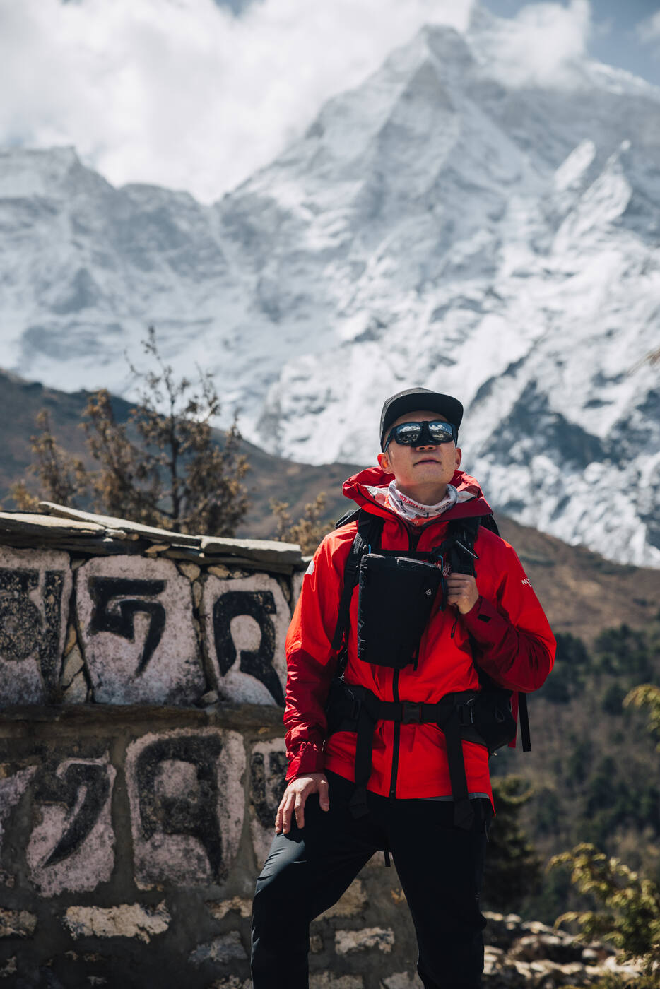
Grace next to a mani stone on the trail. These carved Buddhist stones line the entire route to Base Camp.Crossing one of many suspension bridges over the Dudh Koshi River. They never stop being exhilarating.See You Lodge in Phakding. Better WiFi than most people have at home.
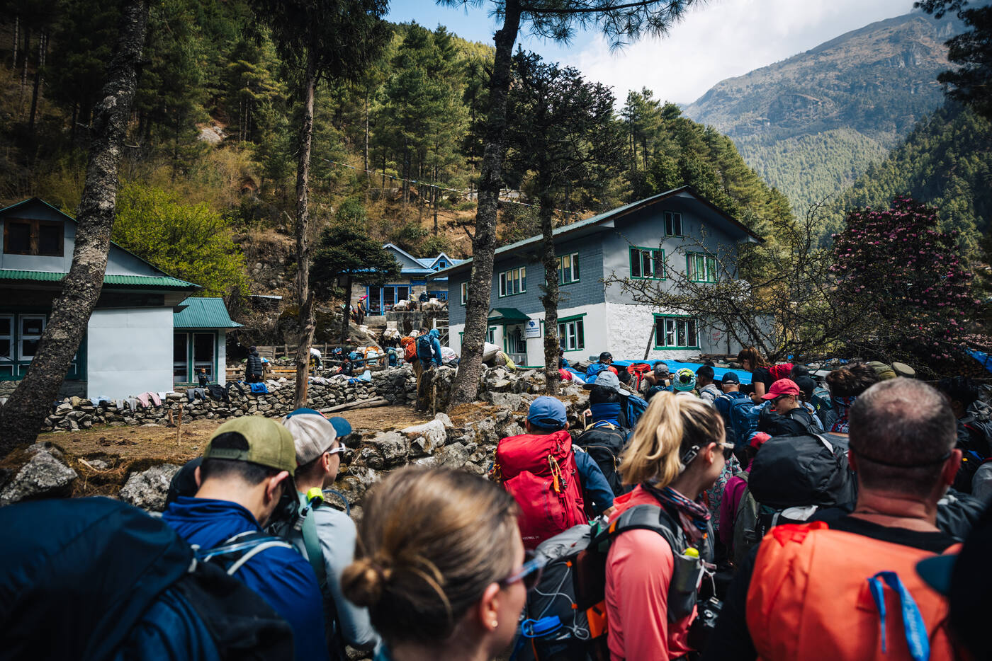
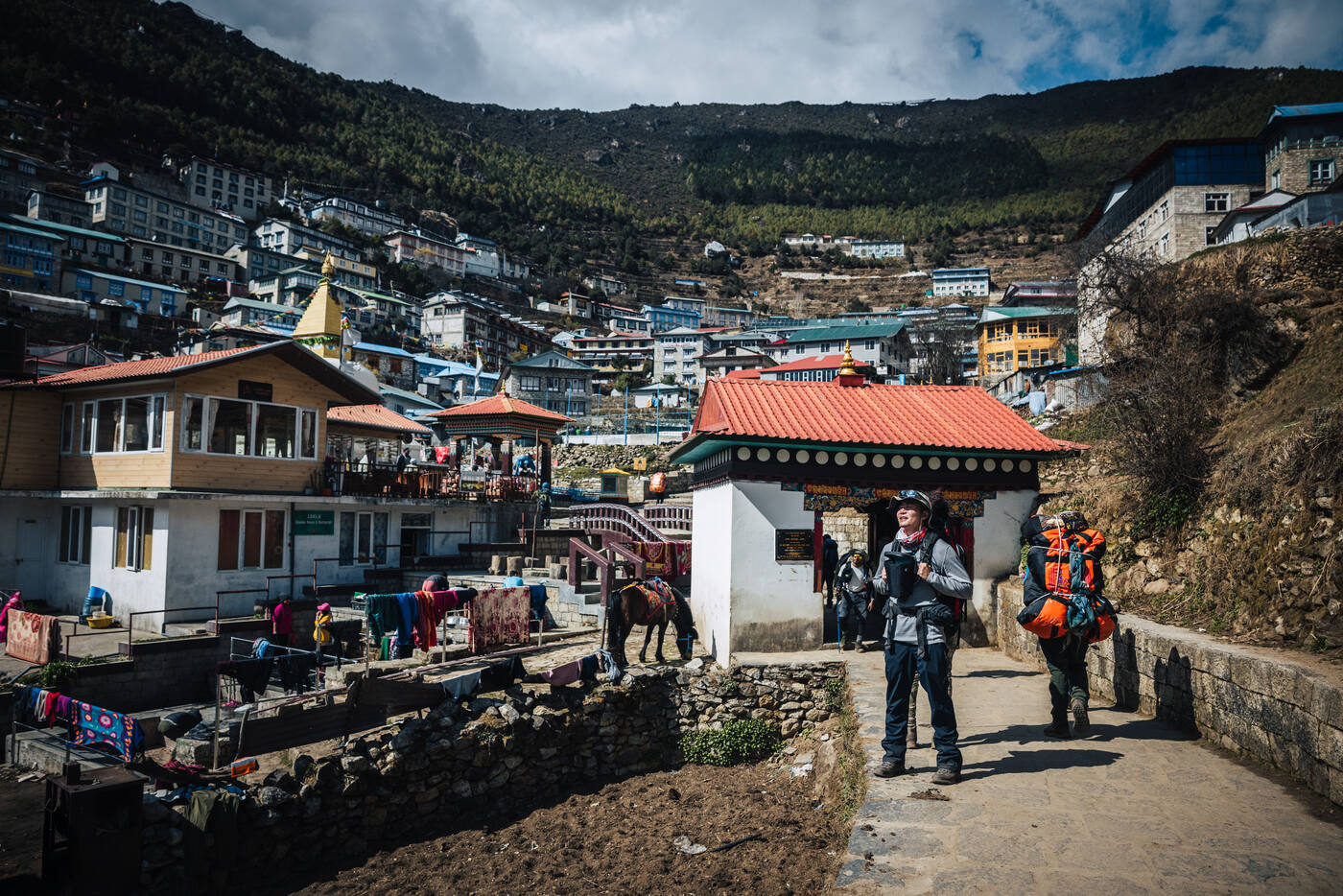
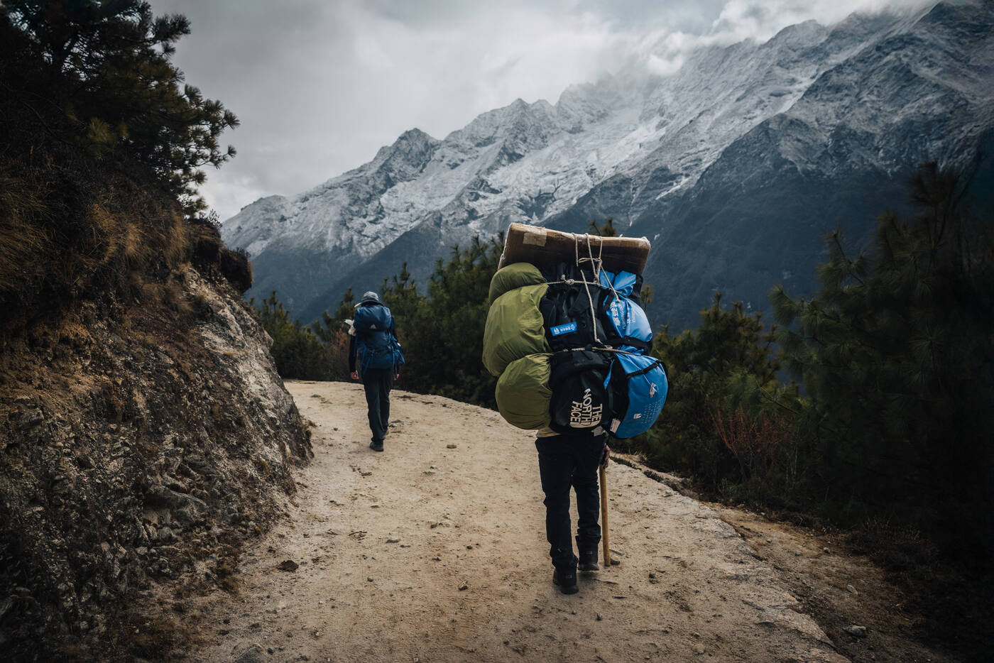
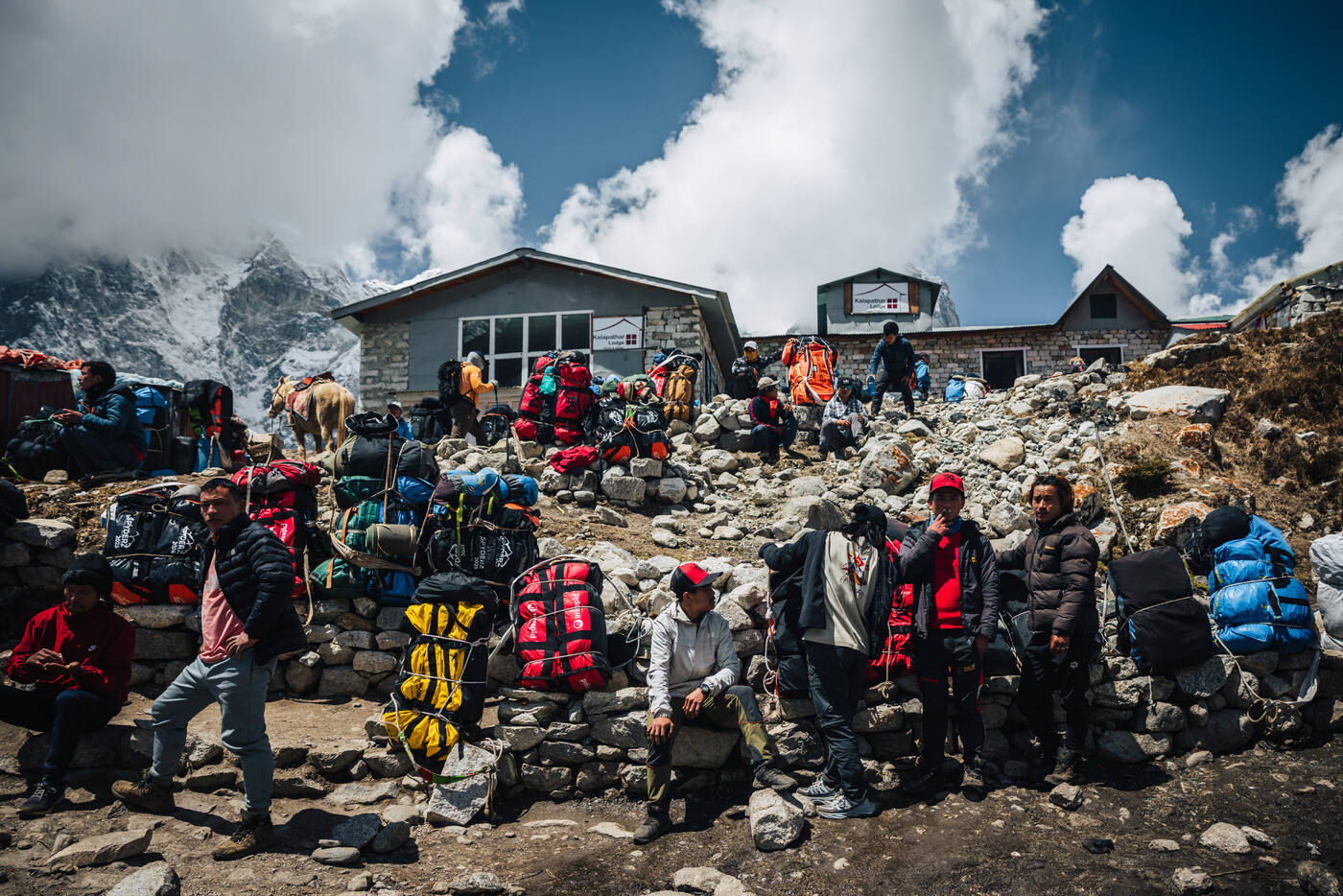
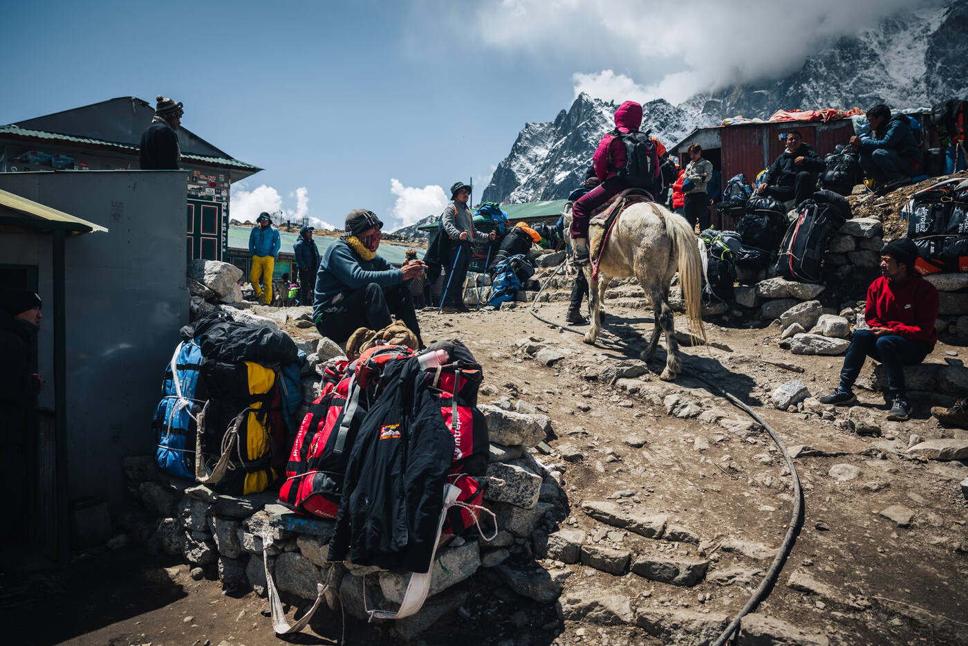
Today was one of the longest and toughest days on the entire trek to Base Camp. After breakfast, we left Phakding at 8:30am and immediately hit traffic. Not the kind you'd find in Kathmandu, but the Khumbu Valley version: a constant stream of trekkers, yak trains, and horses all sharing the narrow trail.
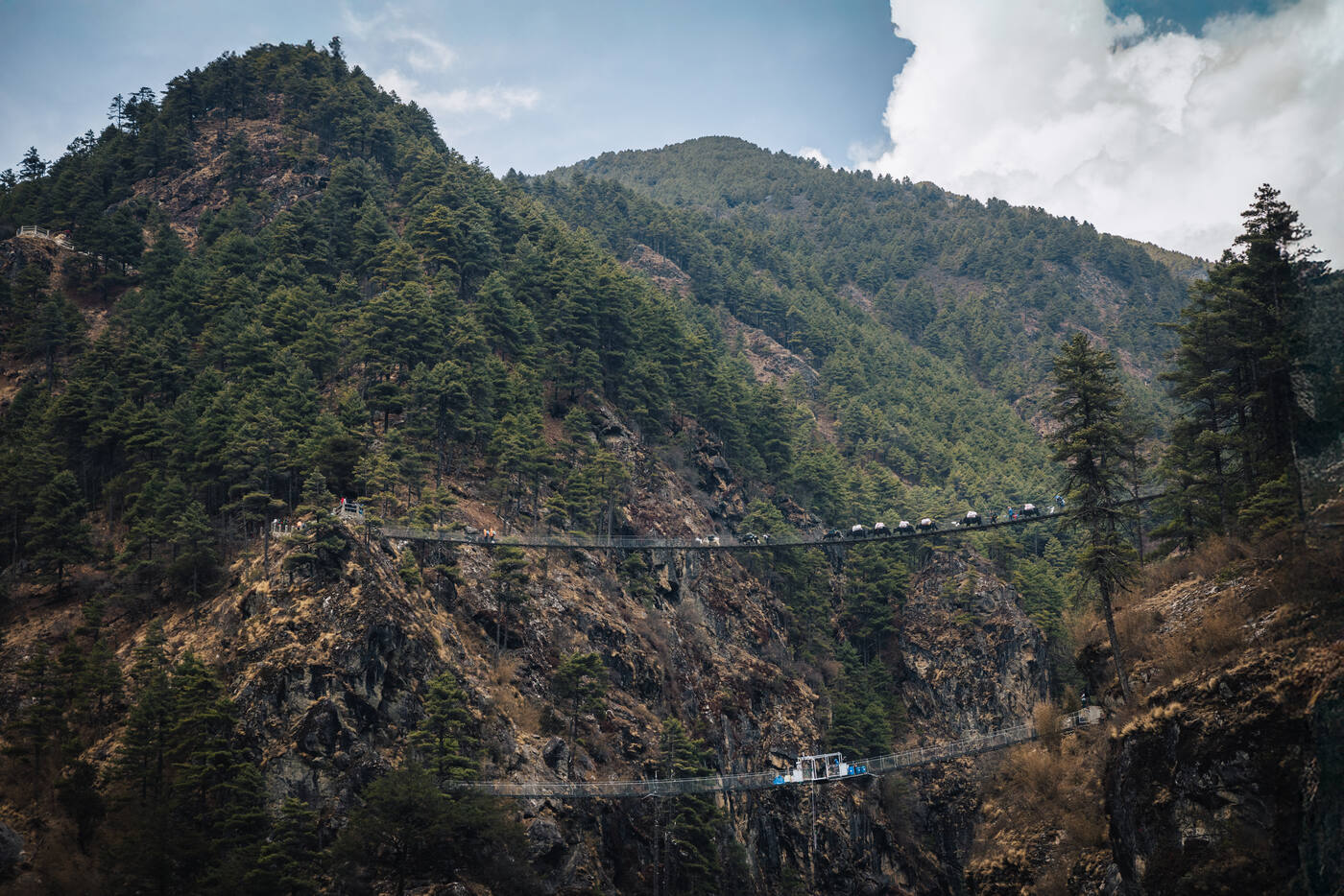
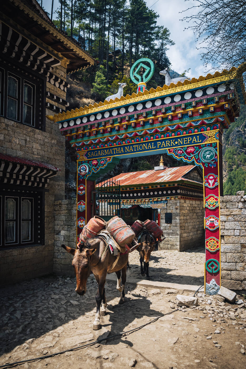
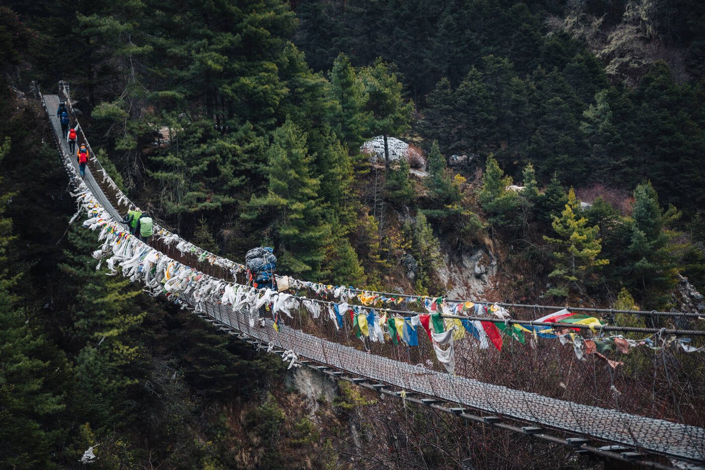
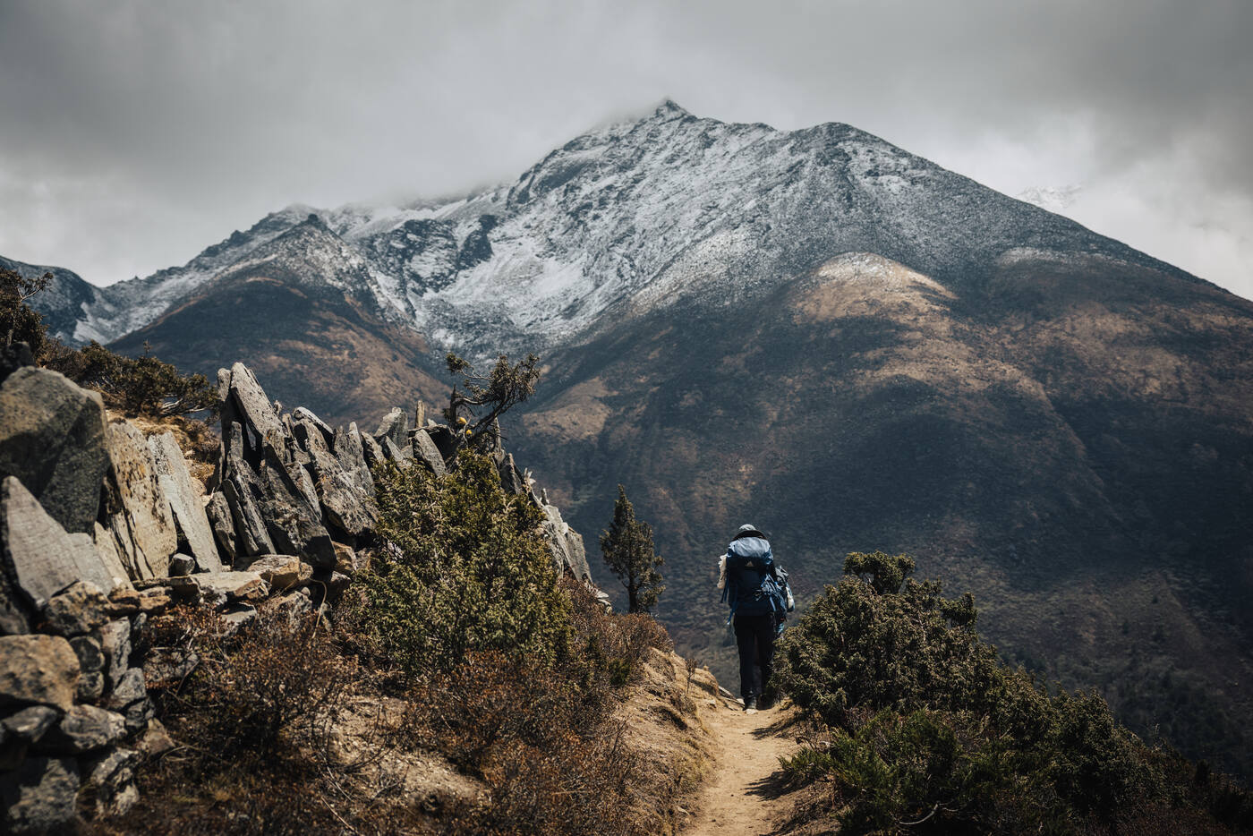
The trail to Namche is notorious for good reason. After crossing several suspension bridges over the Dudh Koshi, including the famous Hillary Bridge, the path turns upward and doesn't relent. The final push into Namche is a relentless climb that tests both legs and lungs. Dodging yak trains added an extra element of adventure. These woolly freight carriers always have right of way, and you quickly learn to press yourself against the mountain when you hear their bells approaching.
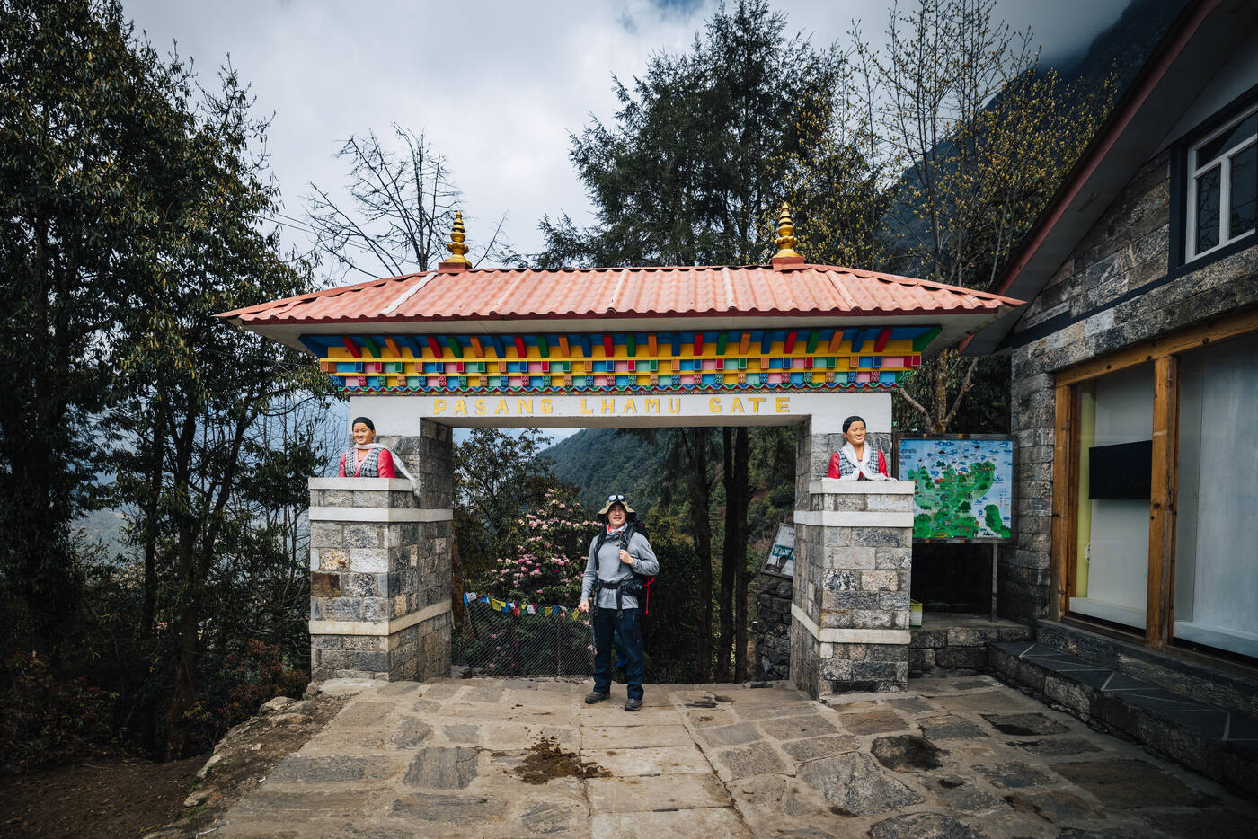
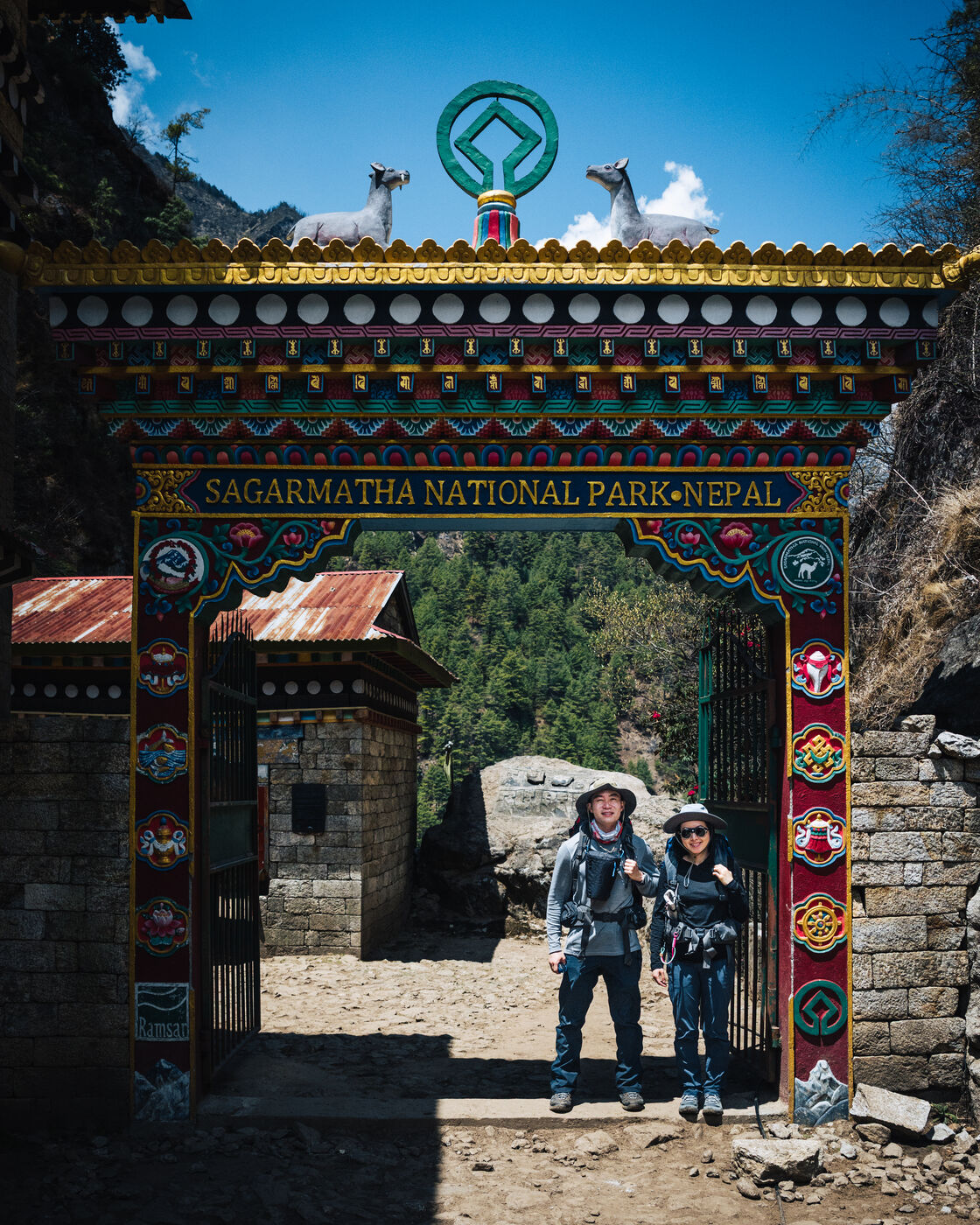
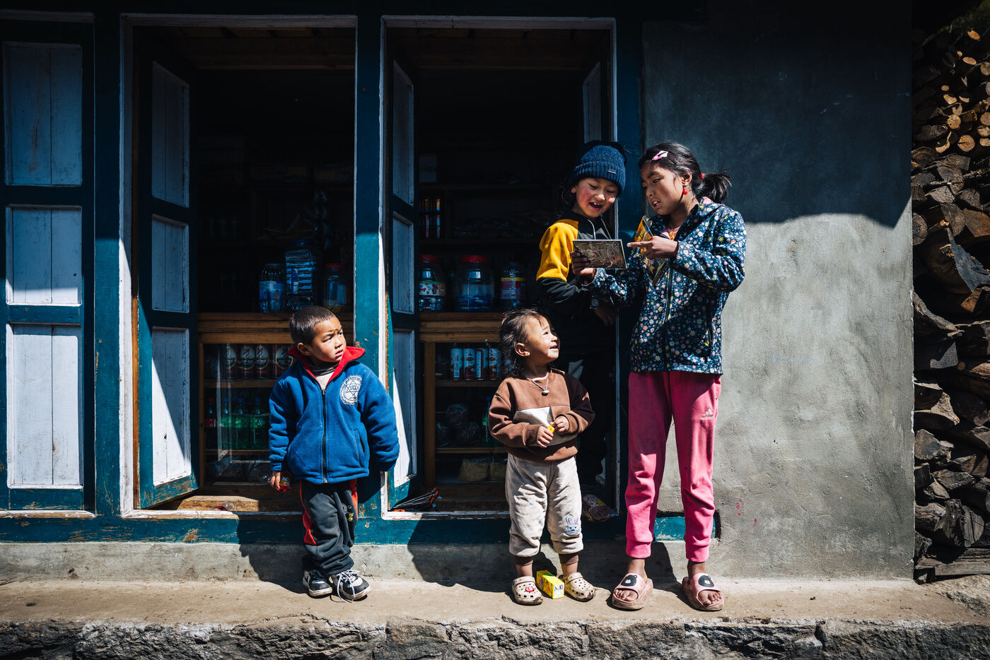
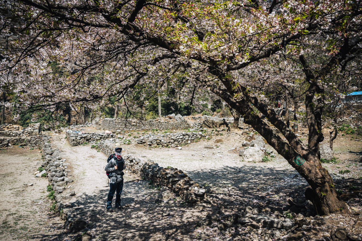
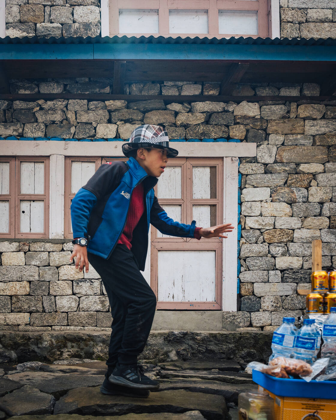
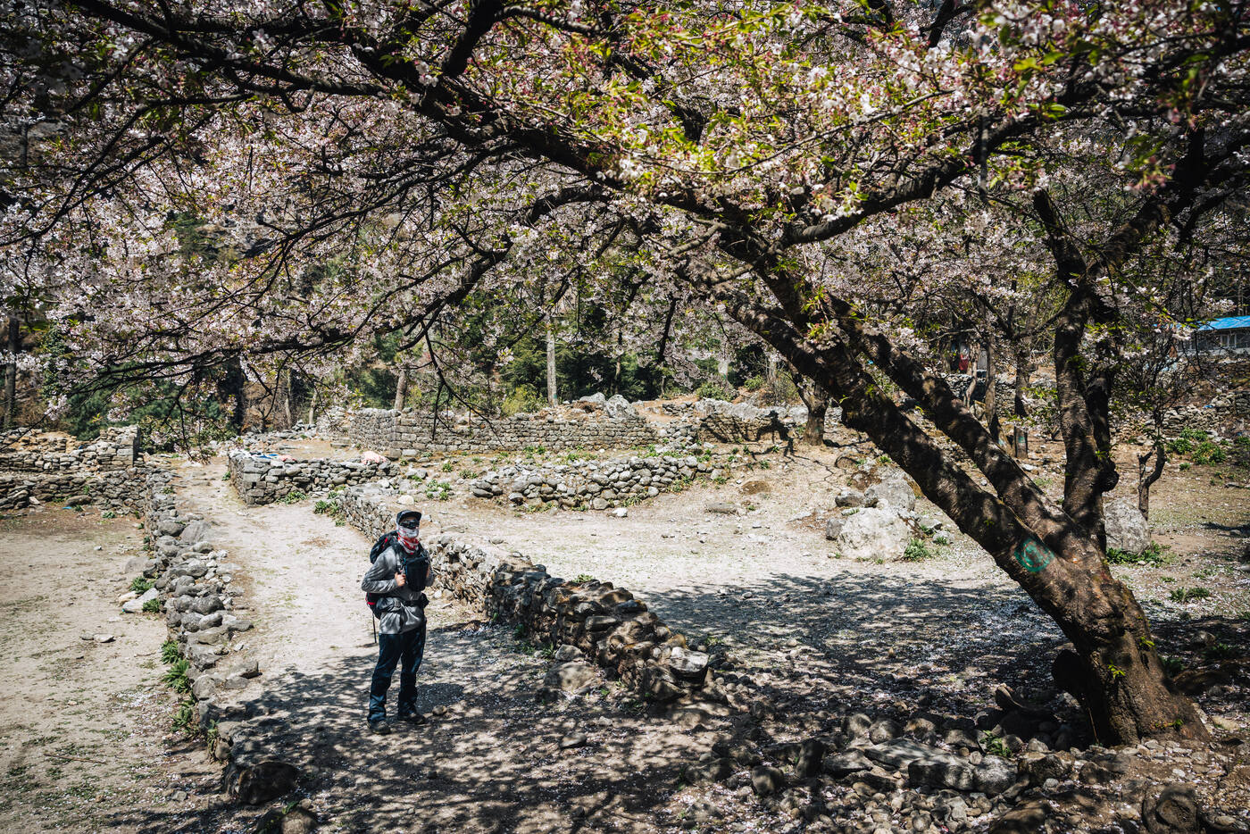
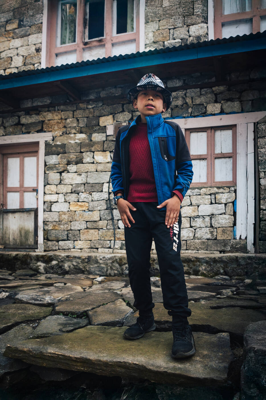
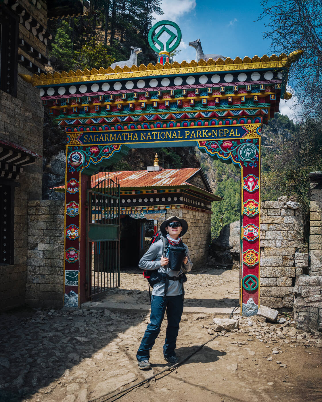
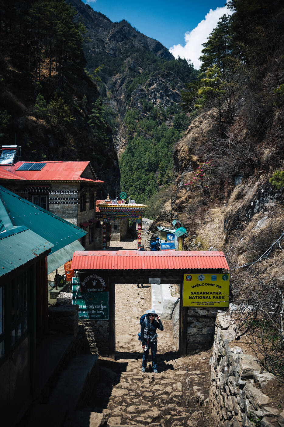
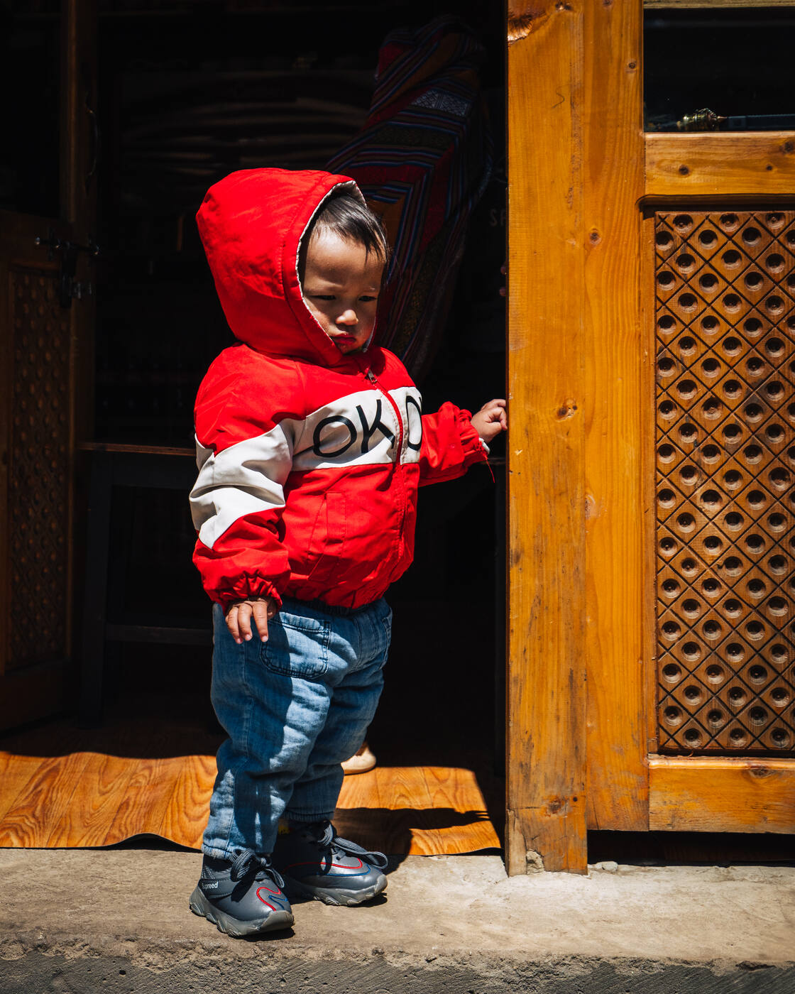
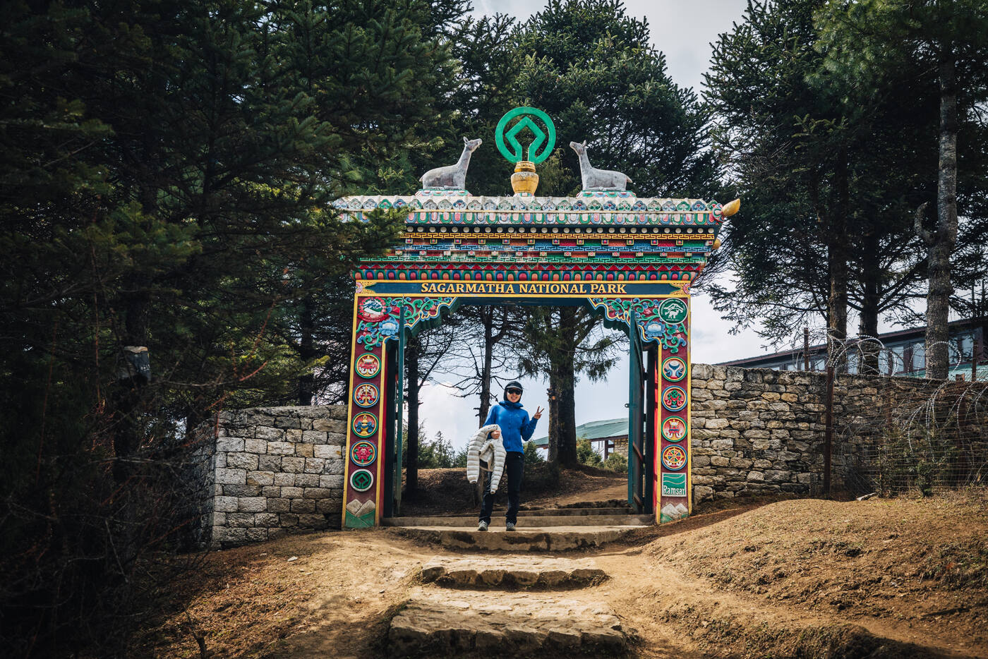
Crossing one of many suspension bridges over the Dudh Koshi. The gorge drops hundreds of meters below.Entering Sagarmatha National Park. We're officially in Everest territory now.Local children along the trail. The path to Namche passes through small settlements full of life.Blooming cherry trees along the trail. Spring in the Khumbu brings unexpected color to the mountain landscape.
Day 04
Rest Day in Namche Bazaar
Namche Bazaar 3,440m · Acclimatization day
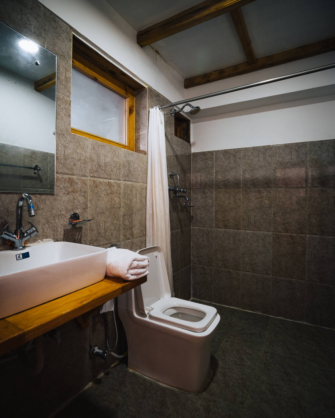
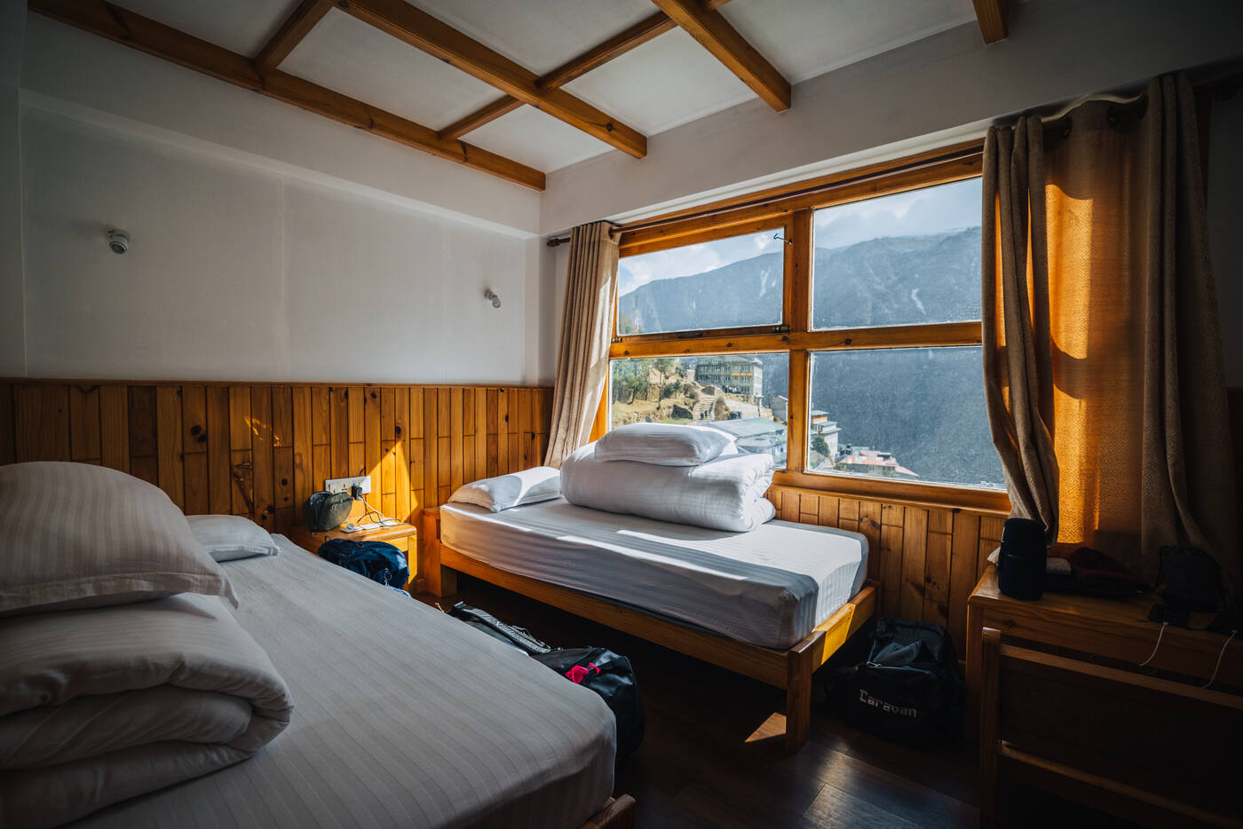
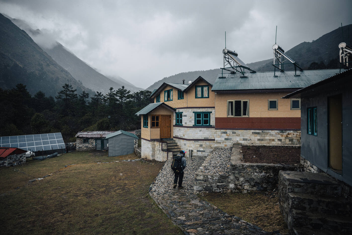
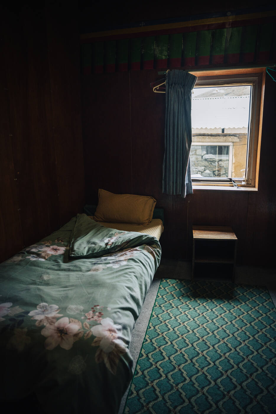
After yesterday's grueling climb, today was all about rest and letting our bodies adjust to 3,440 meters. Started with over 8 hours of sleep at Hotel Camp de Base, where the heated blankets, flush toilet, and hot shower felt like absolute luxury this high up.
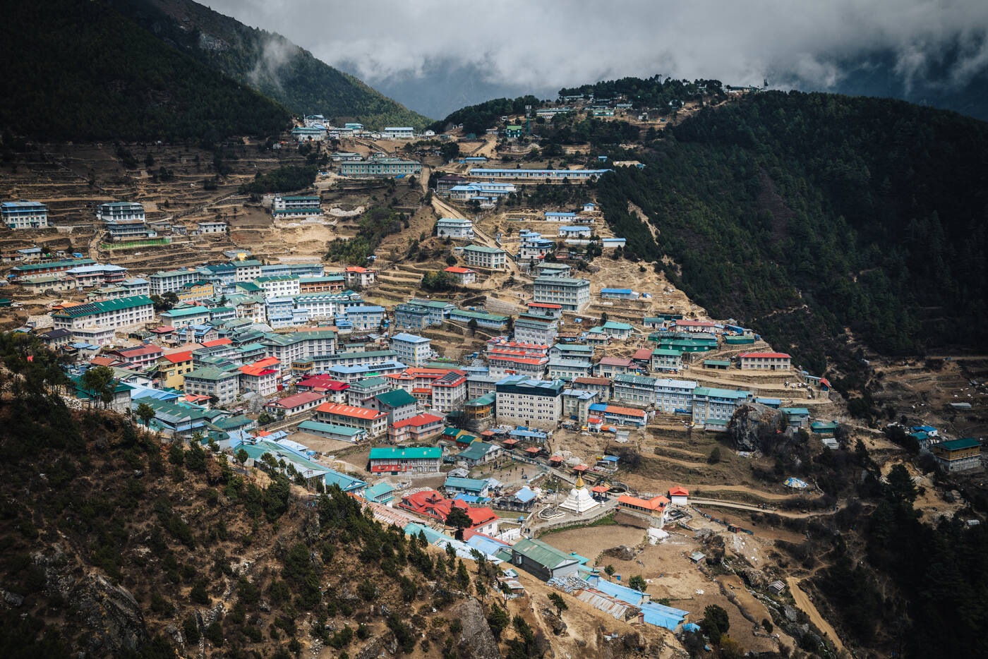
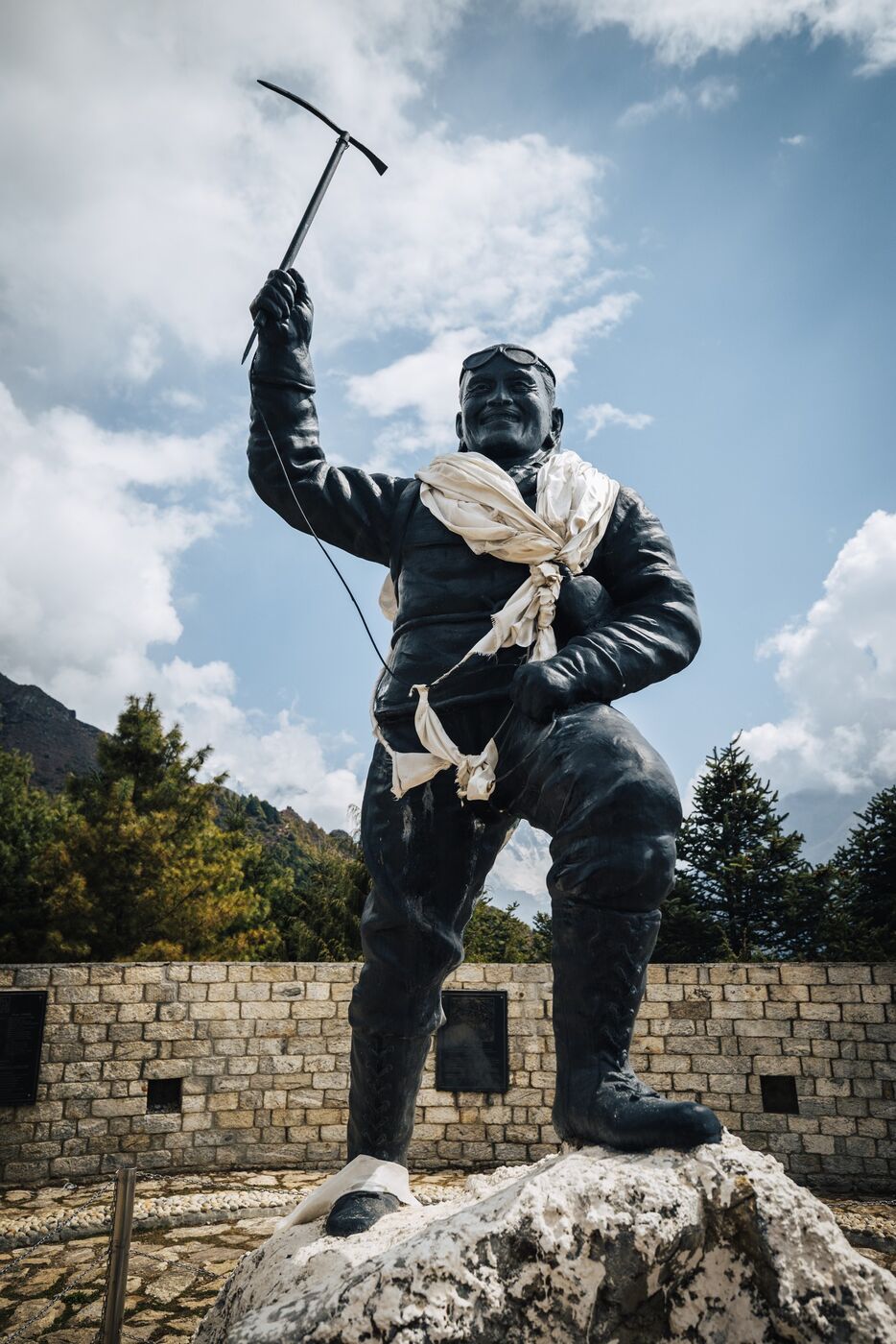
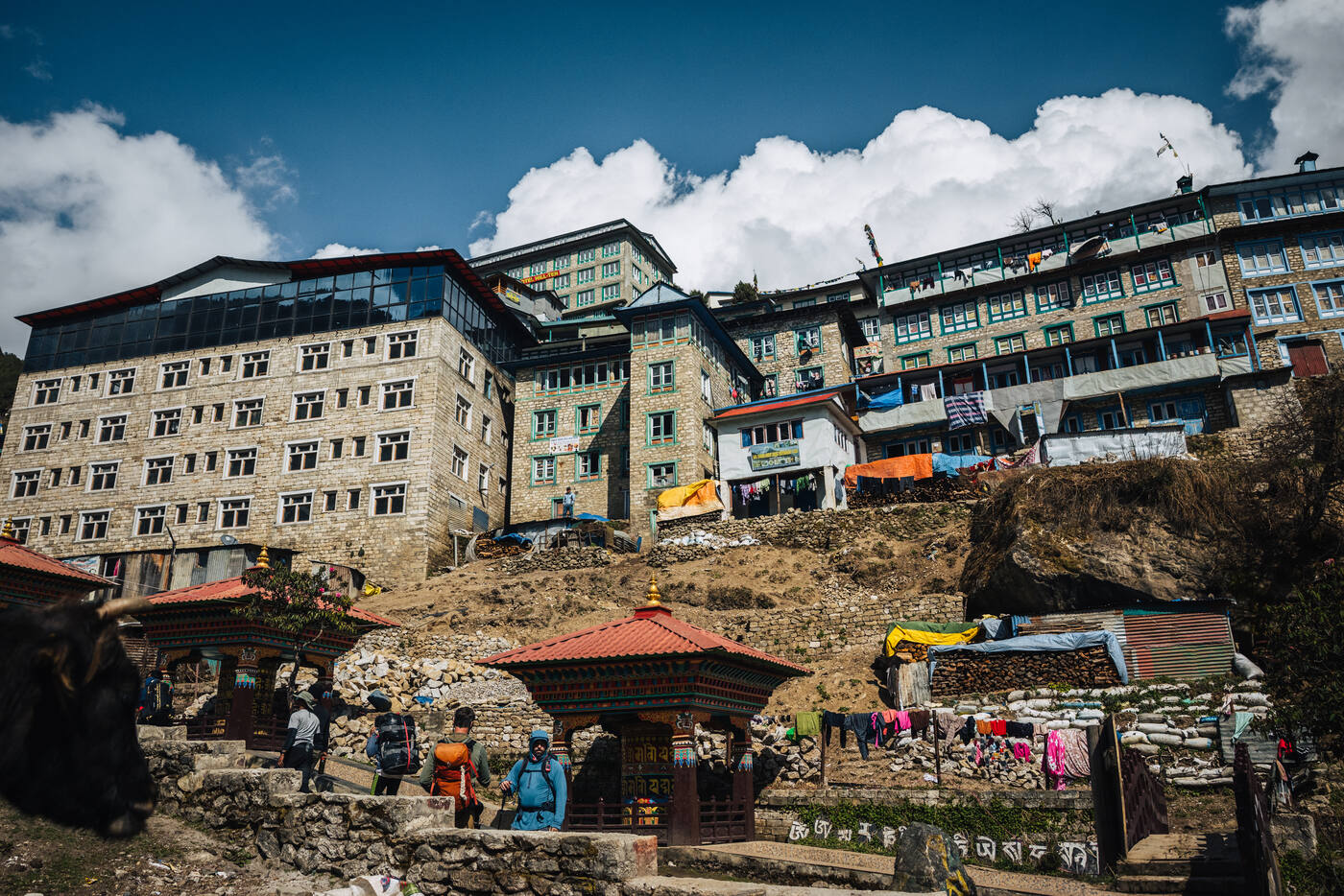
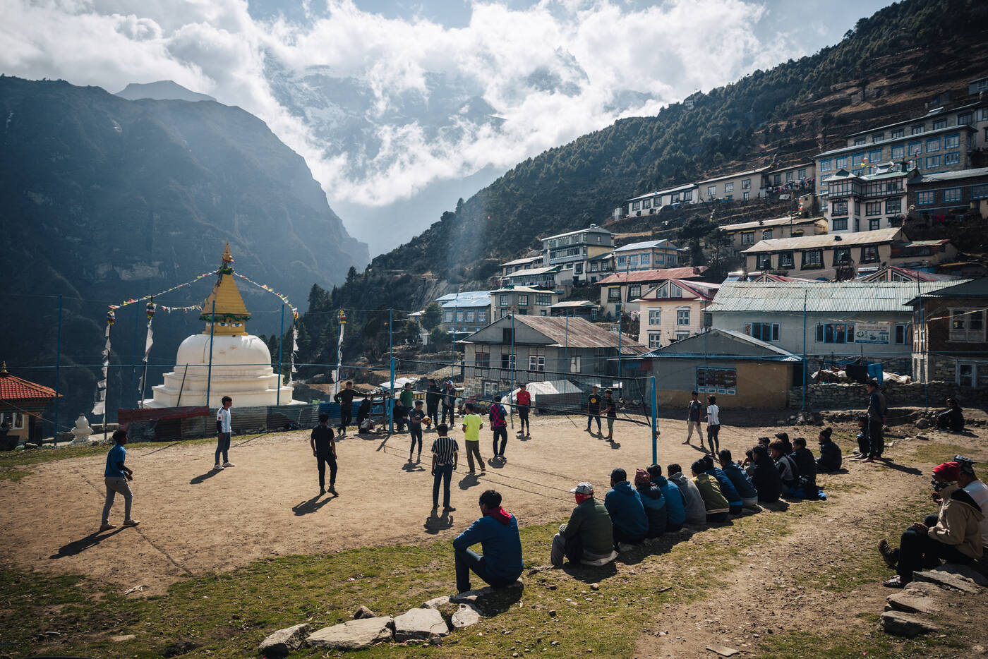
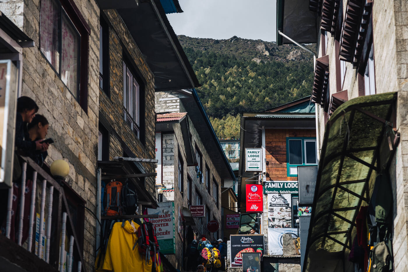
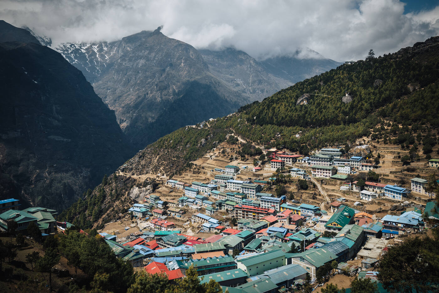
Namche continues to amaze me with how much it's developed. After a leisurely lunch in town, we took a short walk uphill to visit the Tenzing Norgay Statue and the Sherpa Museum. The climb was worth it for more than just acclimatization: we caught our first glimpse of Everest and Lhotse peering over the surrounding ridges. Seeing our objective for the first time sent a shiver down my spine that had nothing to do with the altitude.
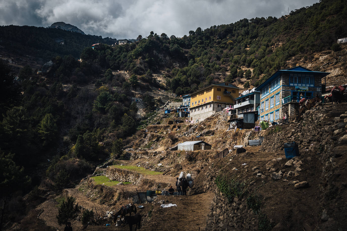
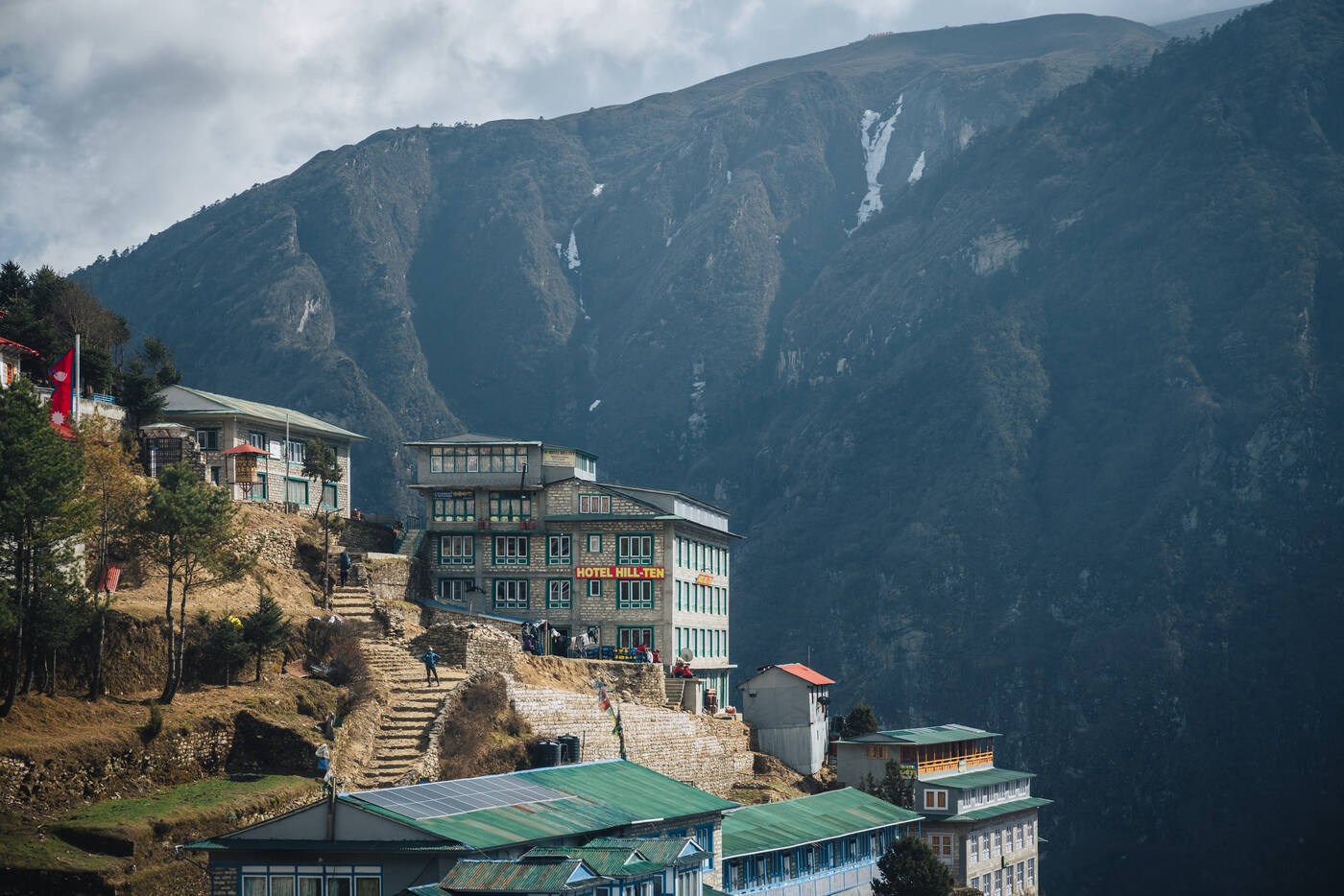
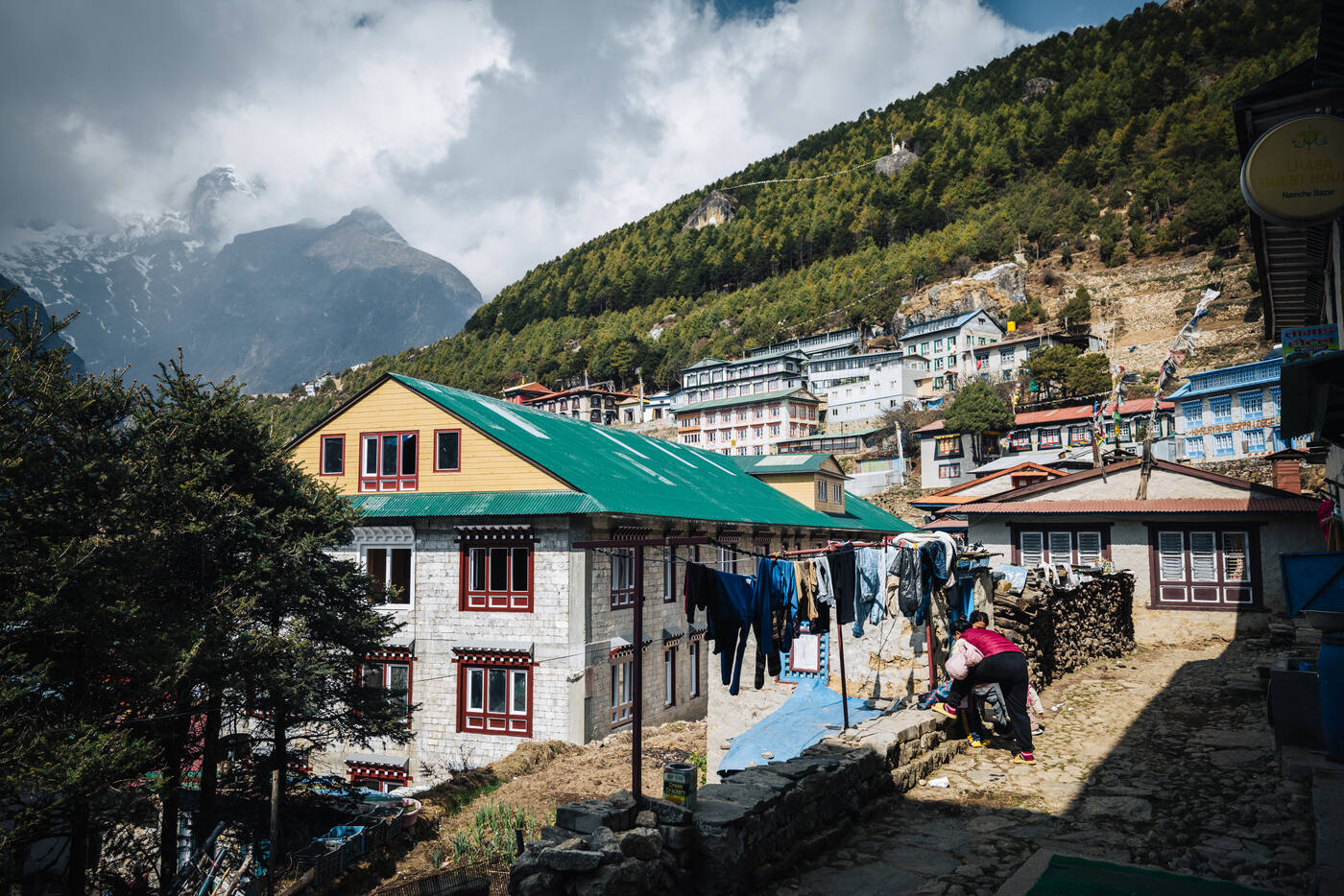
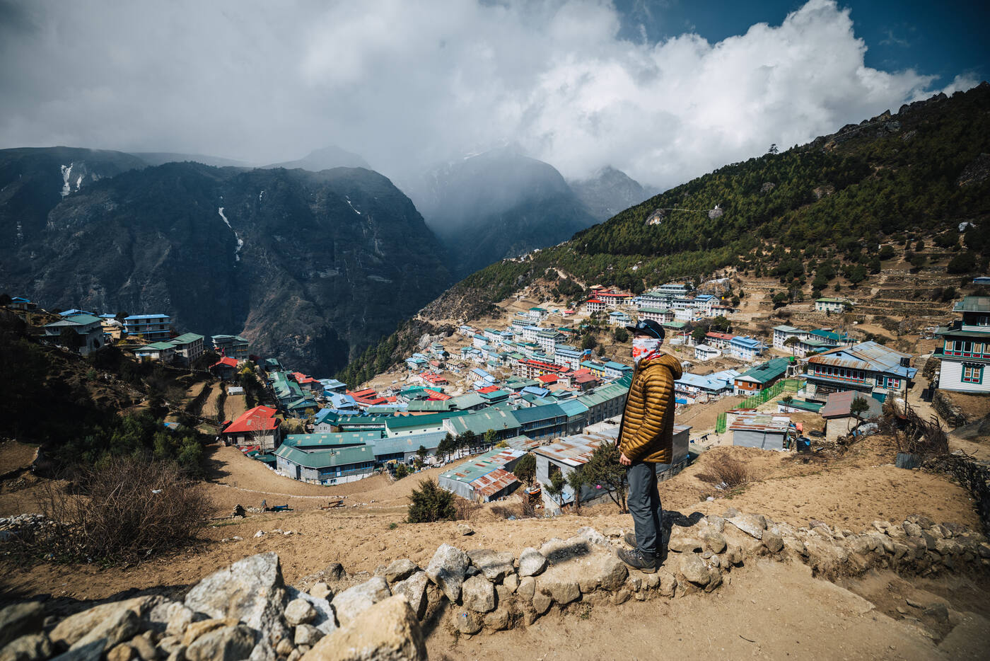
Namche Bazaar from the viewpoint above town. The town sits in a natural amphitheater at 3,440 meters, a hub of commerce and culture in the Khumbu.The Tenzing Norgay memorial above Namche. A fitting tribute to the man who stood on Everest's summit with Hillary in 1953.
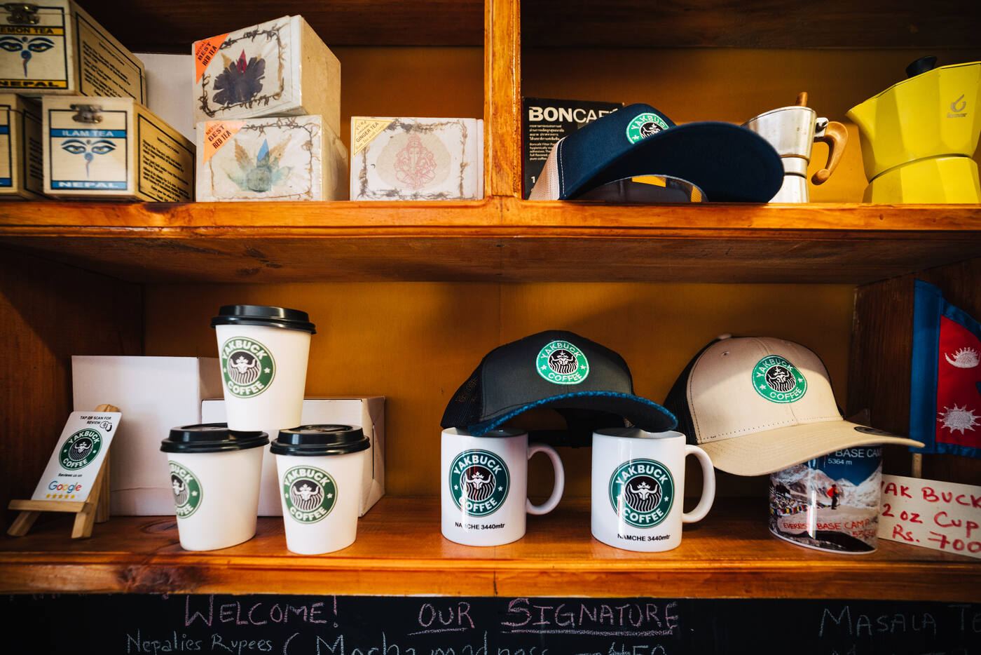
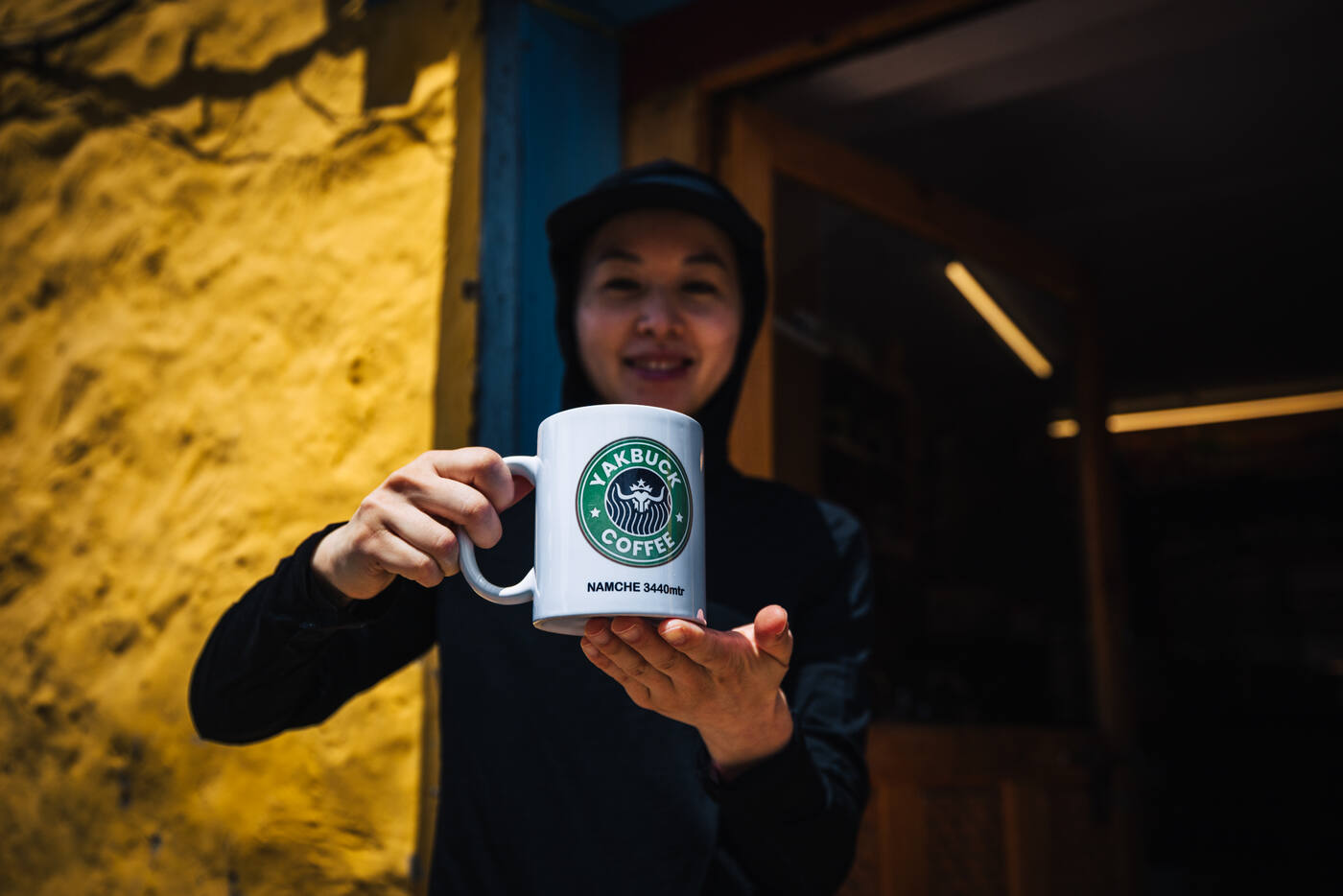
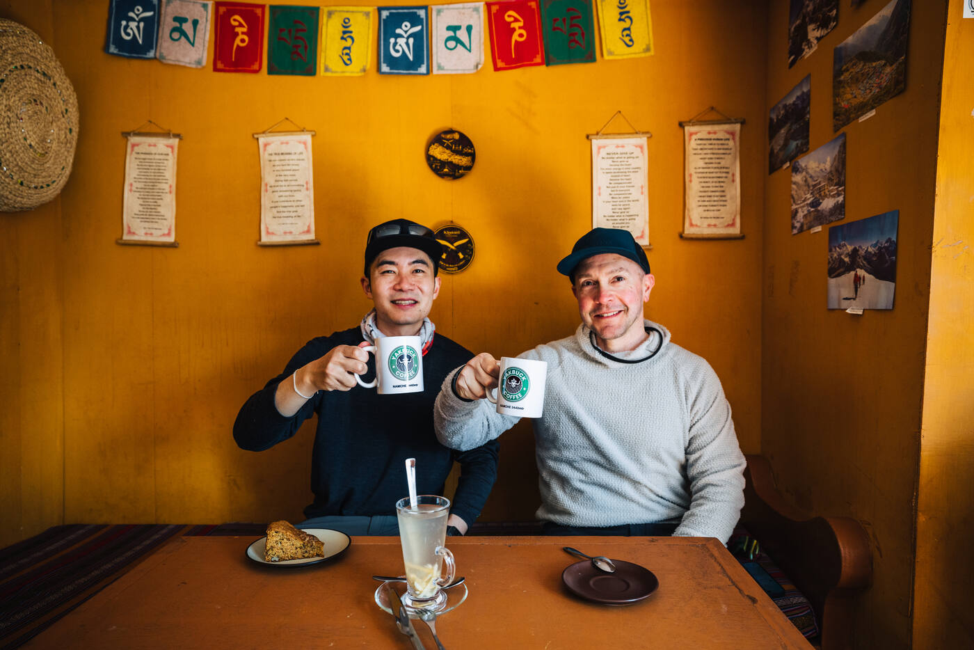
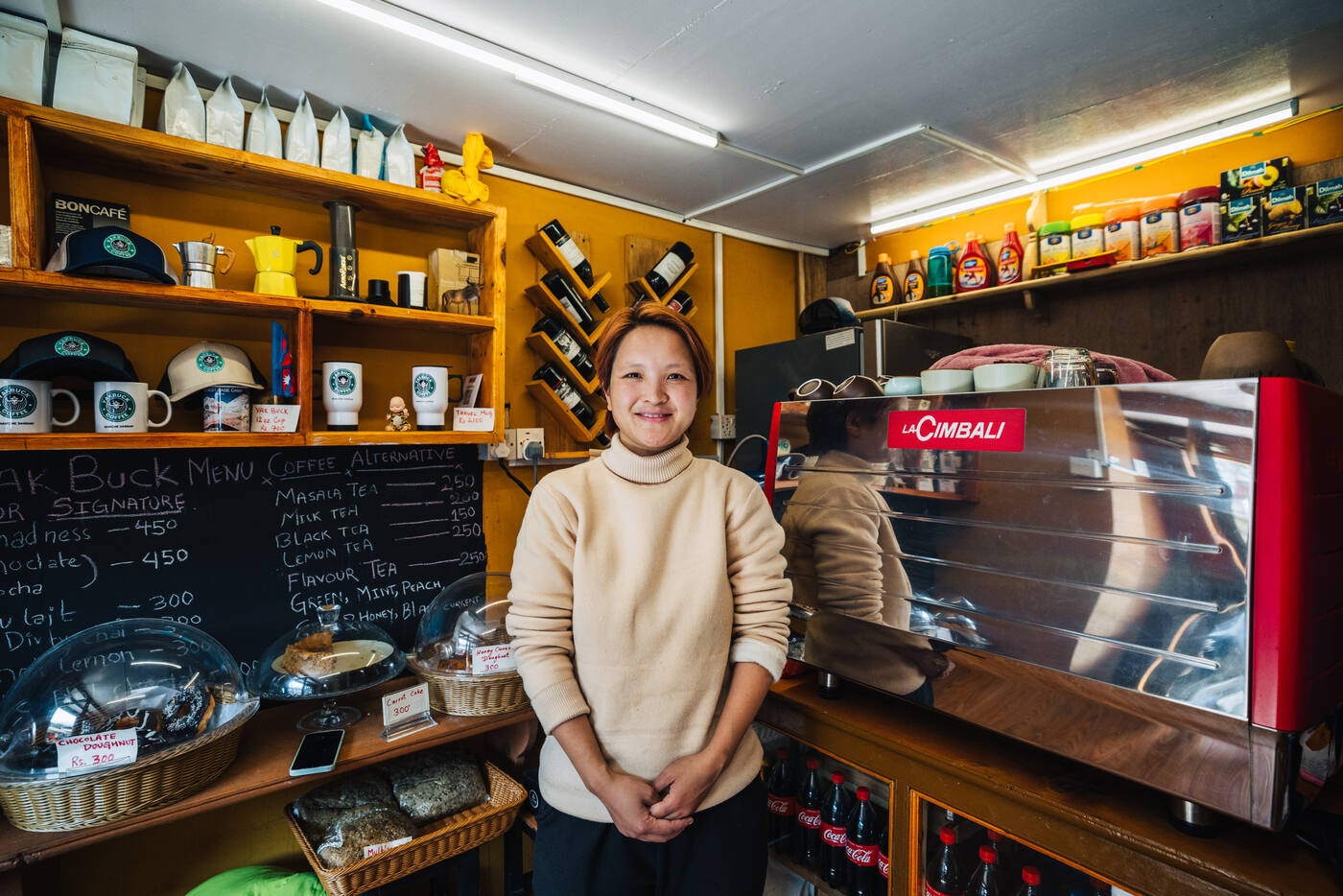
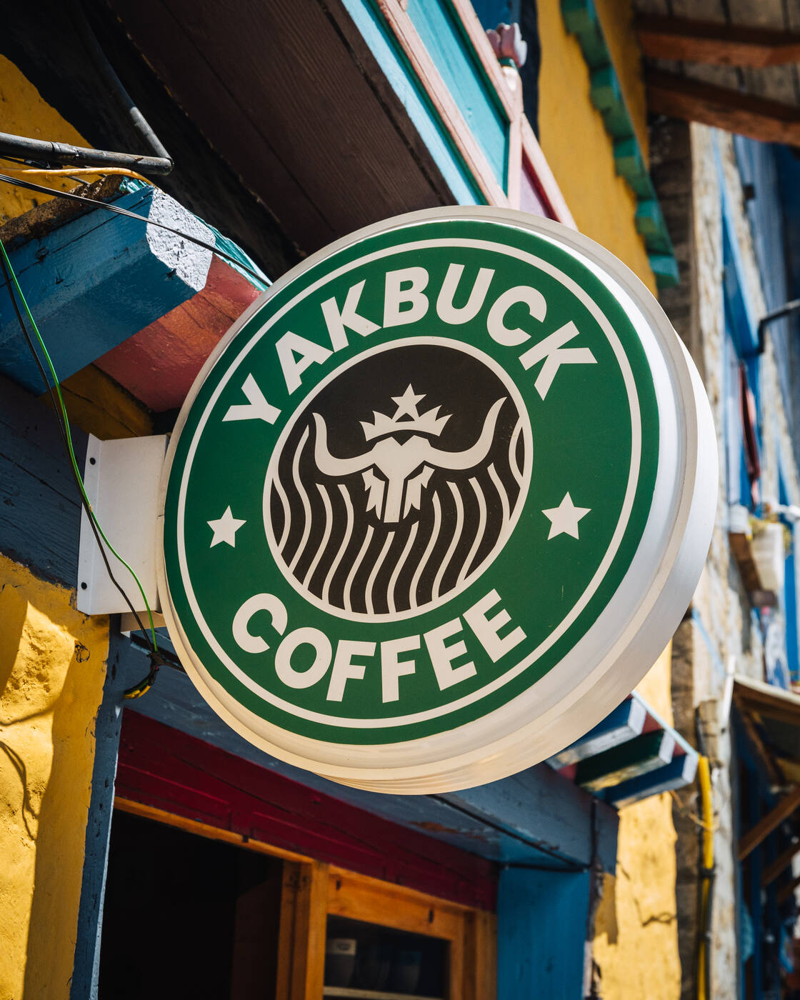
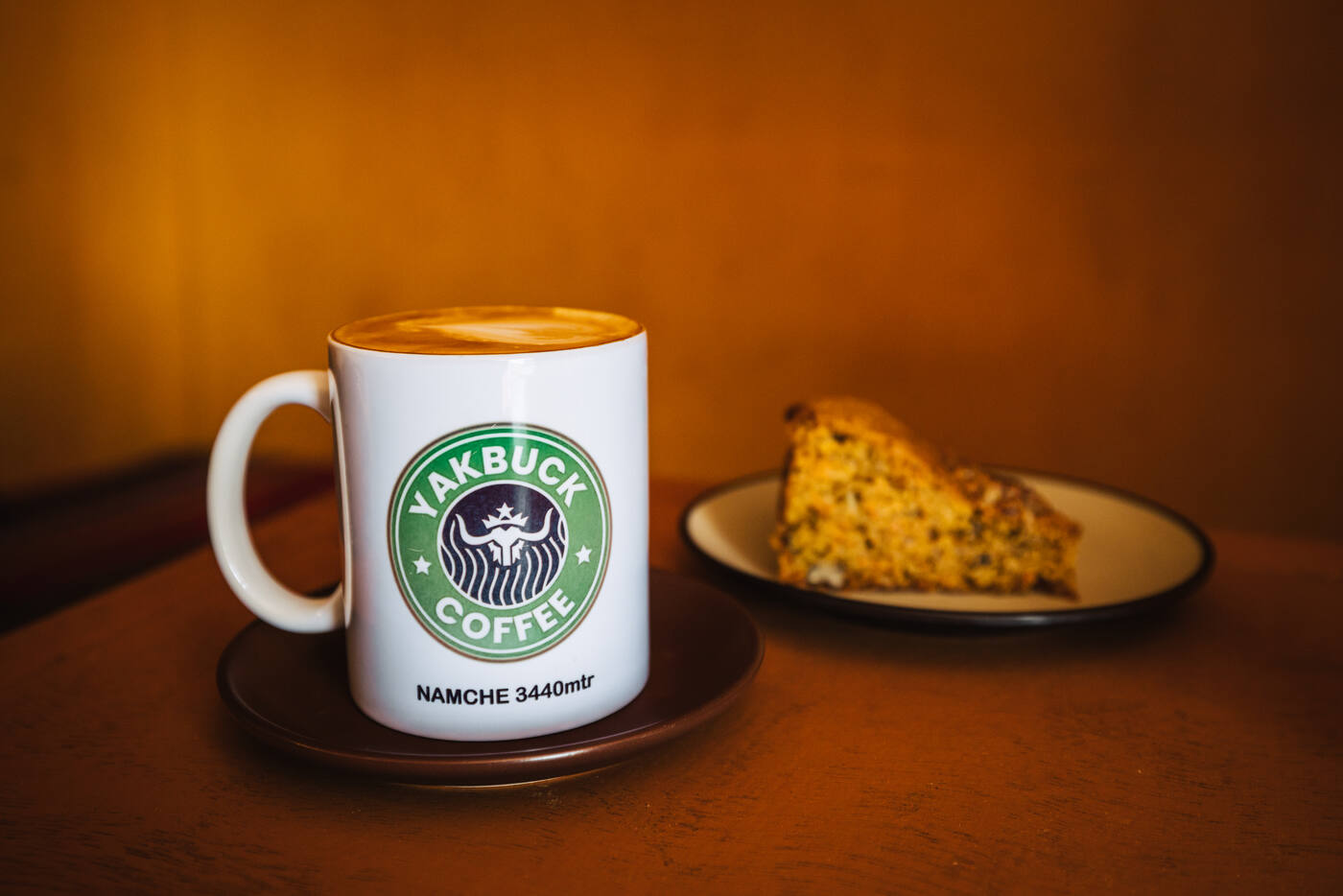
The coffee scene in Namche deserves its own post. Yakbuck Coffee, started by a local Nepali woman in its third season, sources 100% arabica beans from a nearby farm at 1,100 to 1,400 meters. The quality rivals any specialty coffee shop back home.
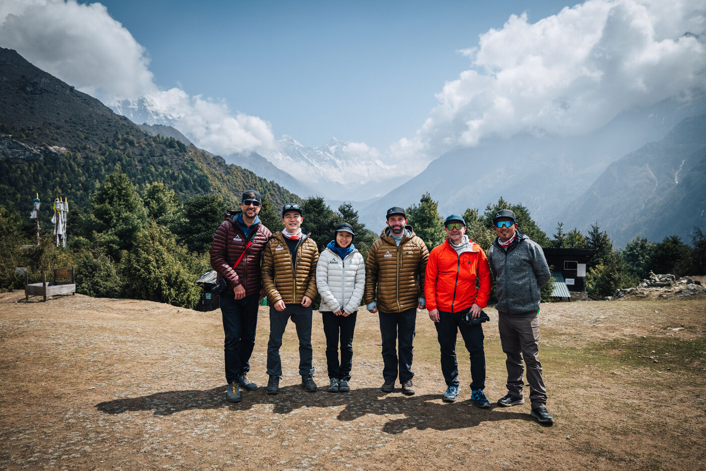
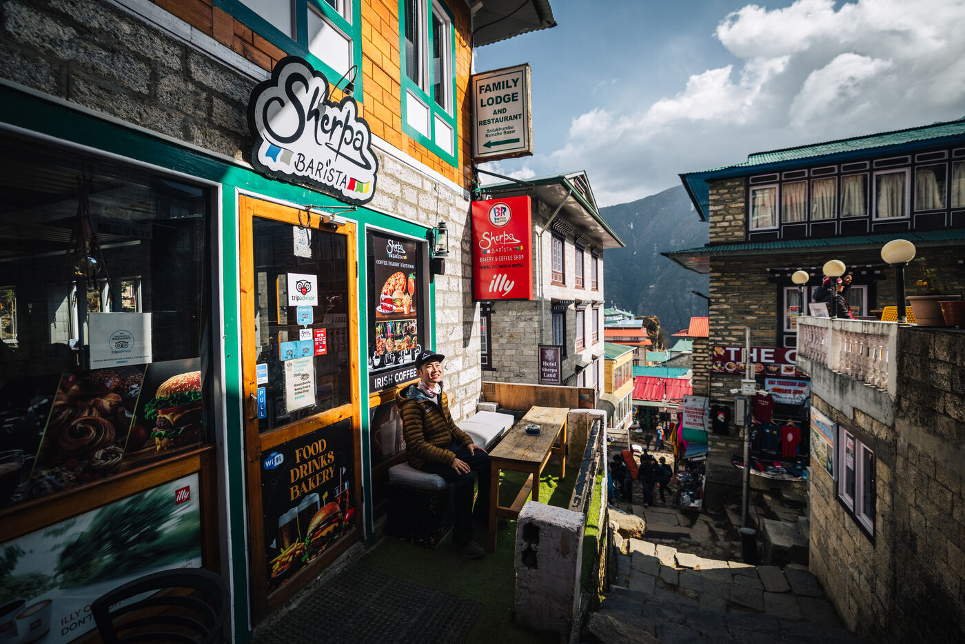
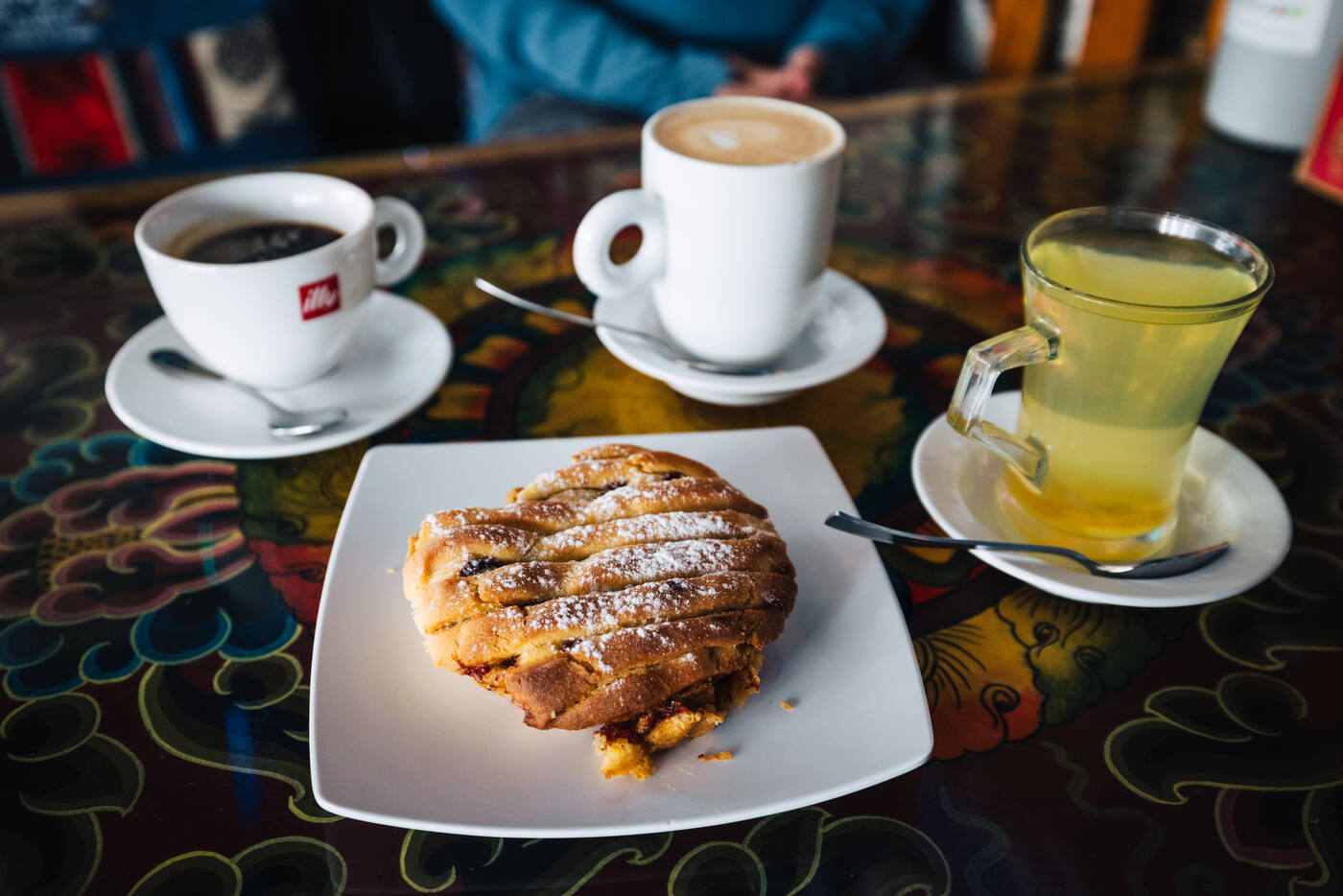
The team at the viewpoint above Namche, Everest and Lhotse just visible over the ridgeline.Sherpa Barista in Namche. Apple pie and tea at altitude — the Khumbu Valley keeps defying expectations.
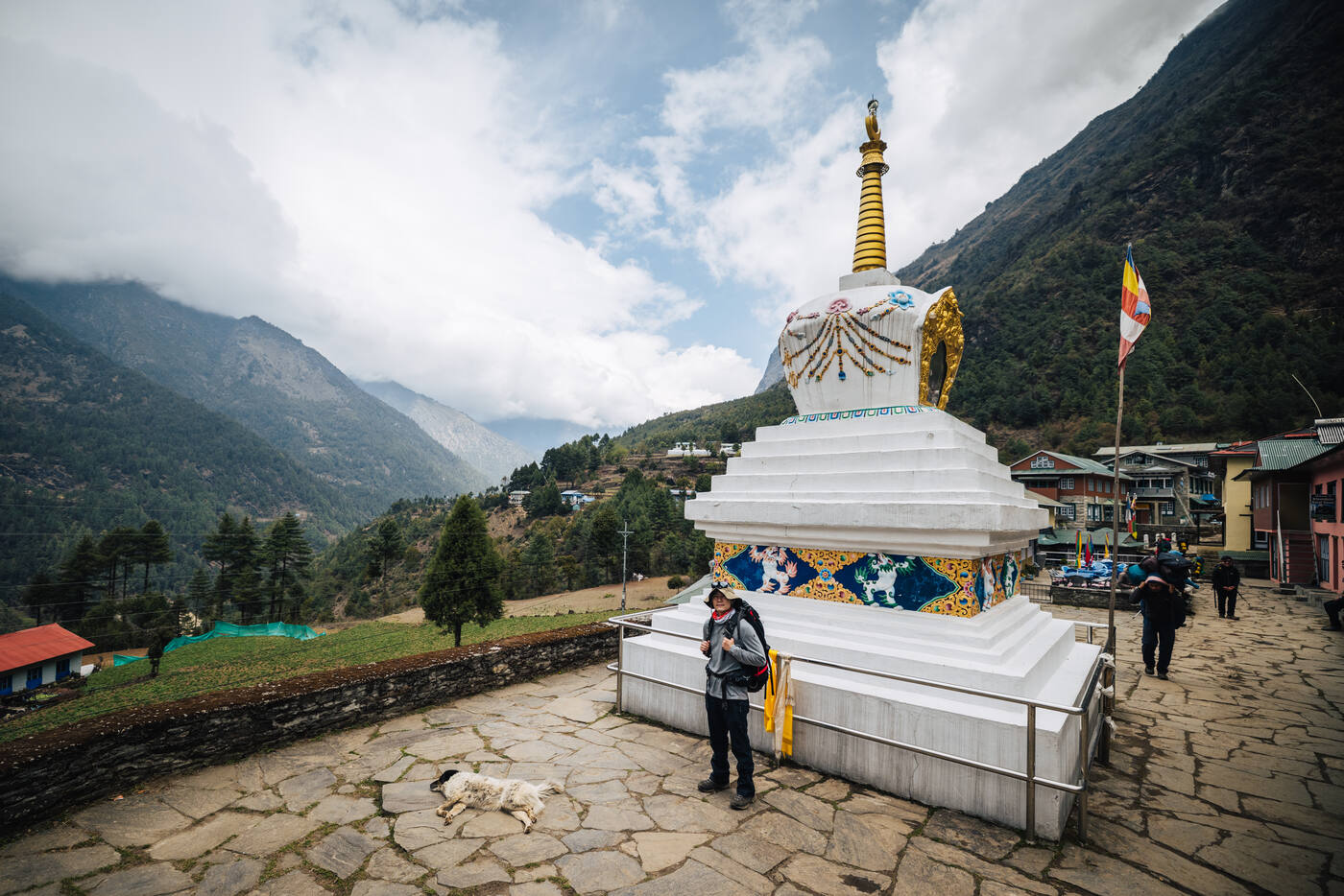
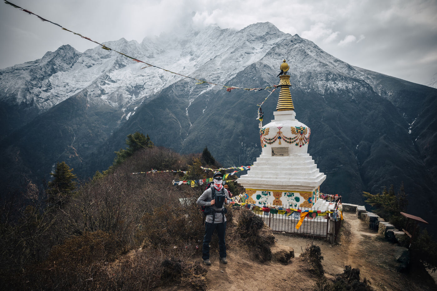
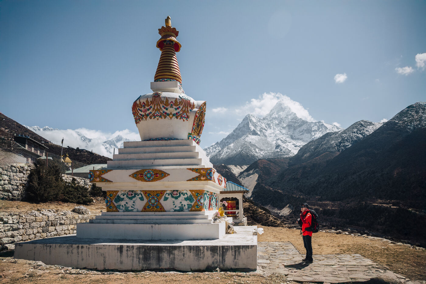
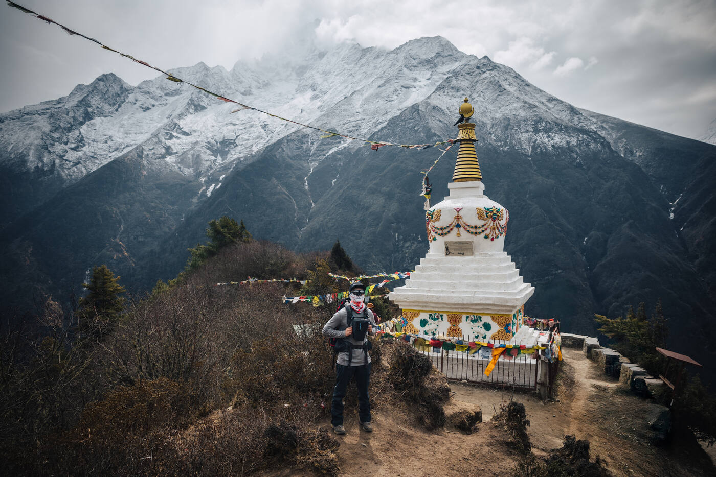
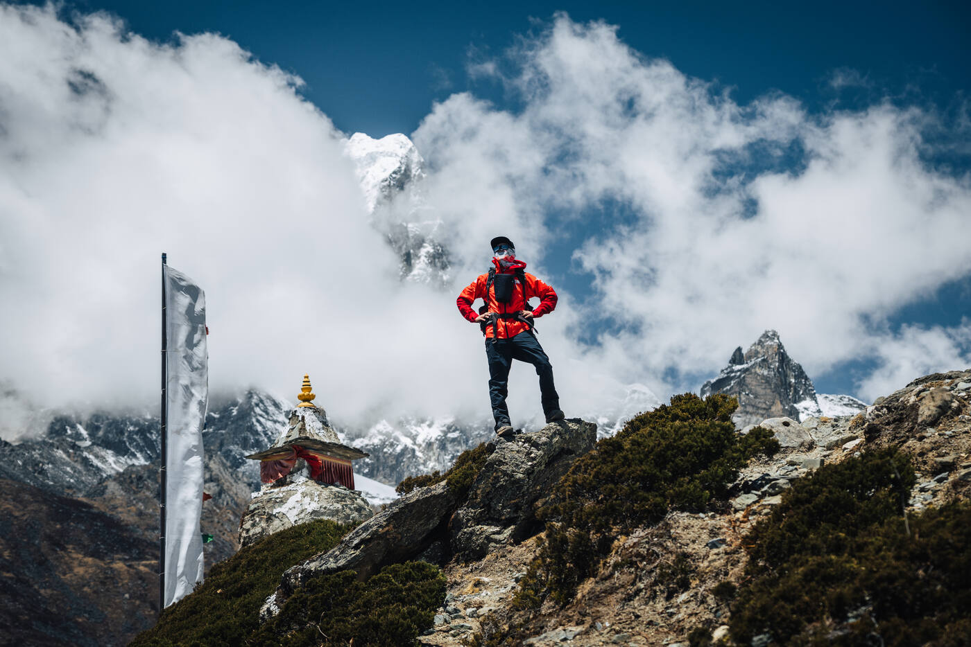
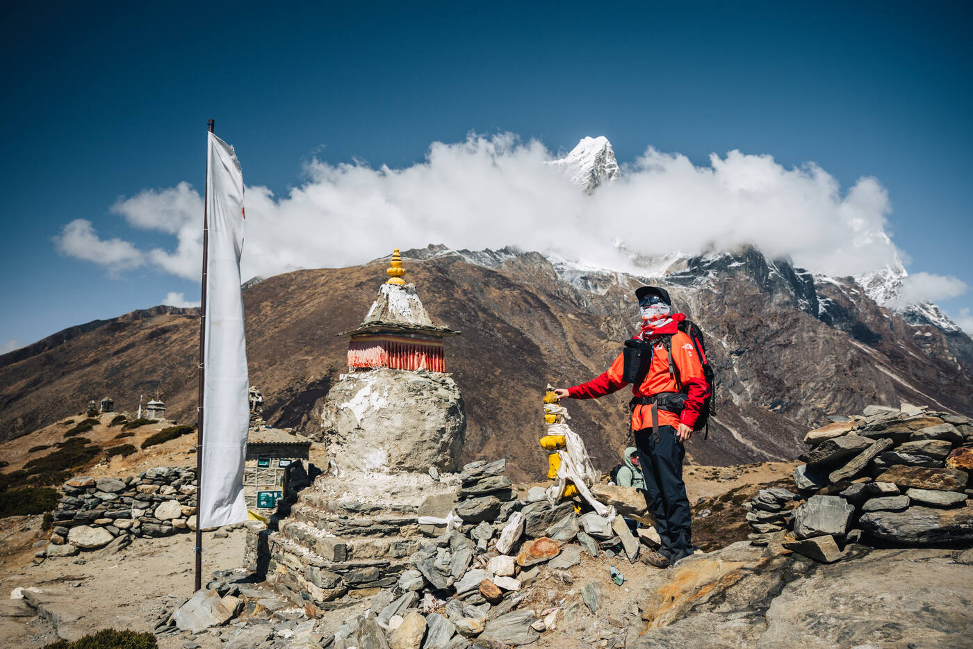
Left Namche this morning and made our way to Deboche at a slightly higher elevation, although the path had quite an ascent along the way. The day started with a stop at the Tenzing Norgay Stupa for photos. It's impossible to pass by without pausing to pay respects to the man who stood on Everest's summit with Hillary in 1953.
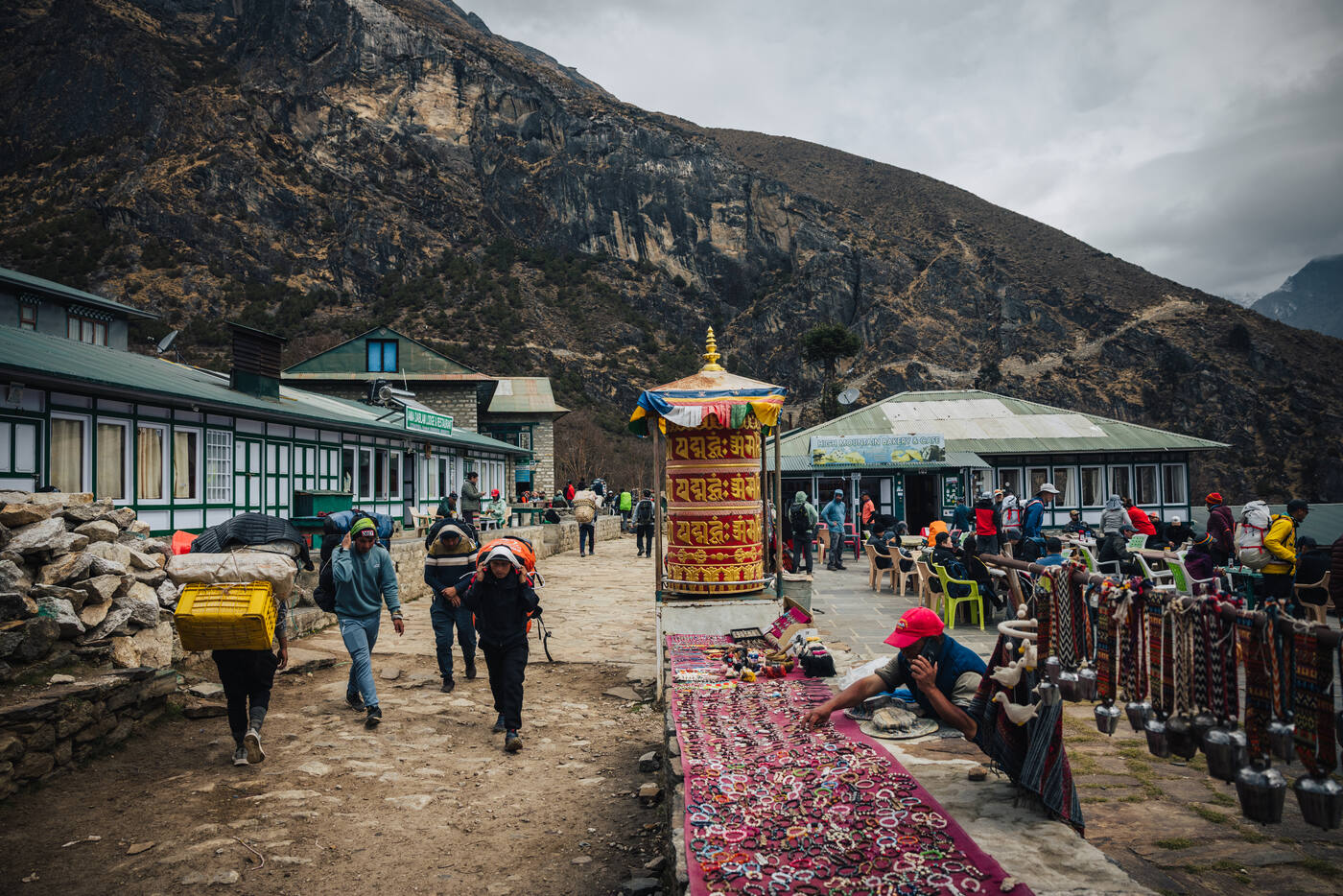
The trail continues to surprise with its amenities. We stopped at High Mountain Bakery & Cafe for tea and fresh apple pie. Yes, fresh apple pie at nearly 3,500 meters. The Khumbu Valley keeps defying expectations. Lunch at Zambala Lodge by the river gave us fuel for what came next: a 576-meter zigzag ascent that had us all breathing hard. The switchbacks seemed endless, but the reward at the top was worth every labored breath.
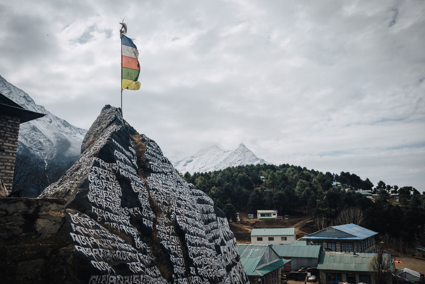
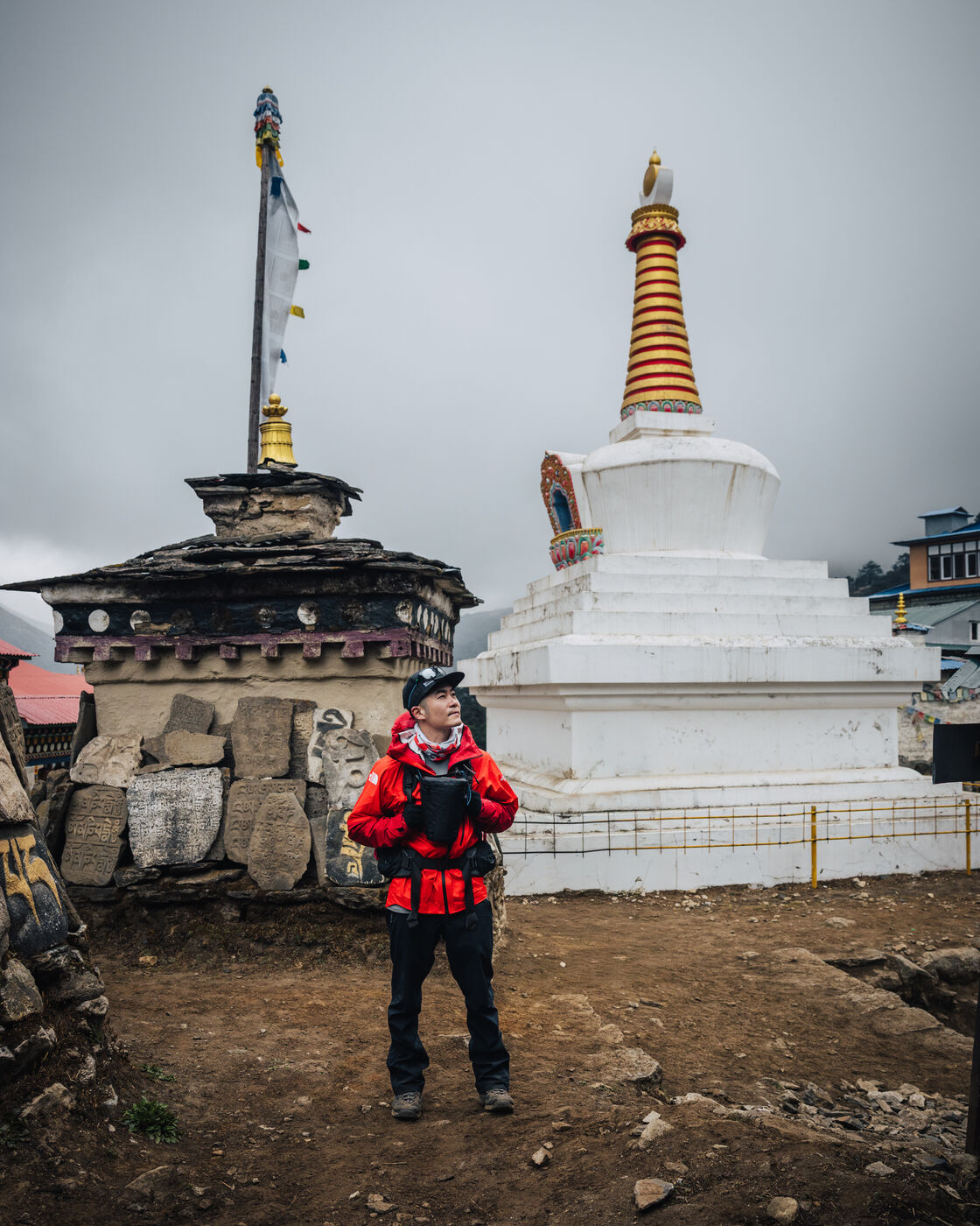
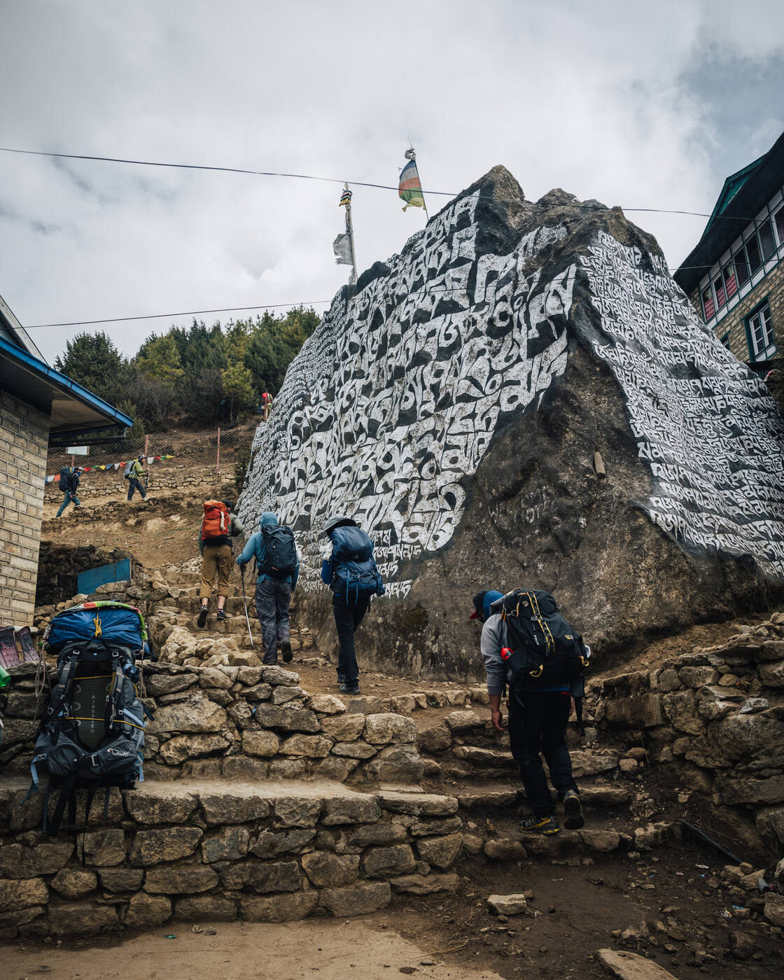
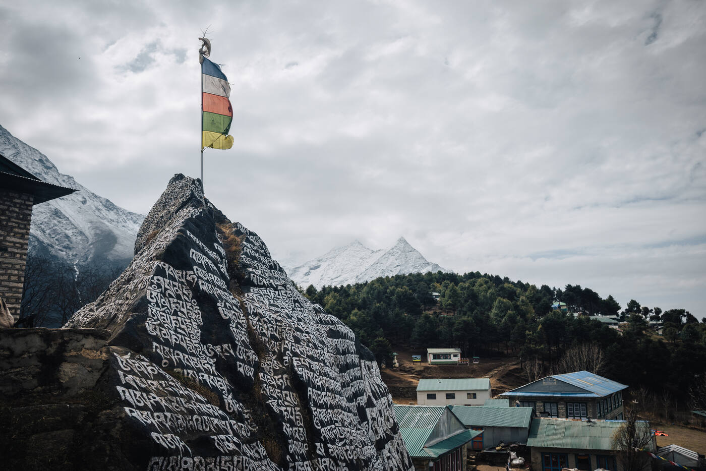
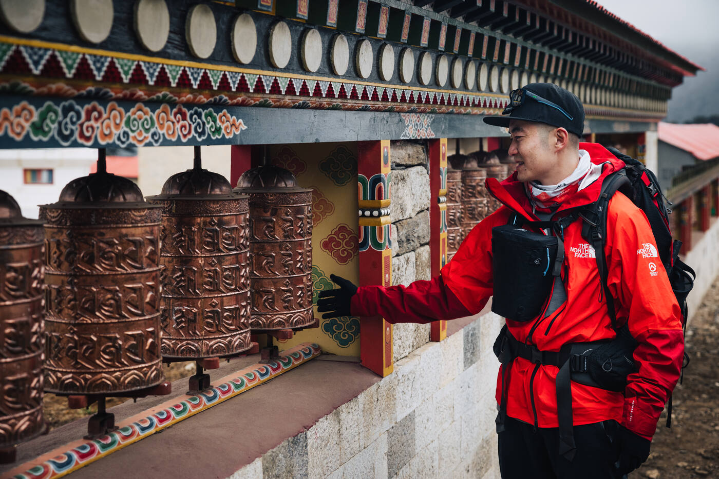
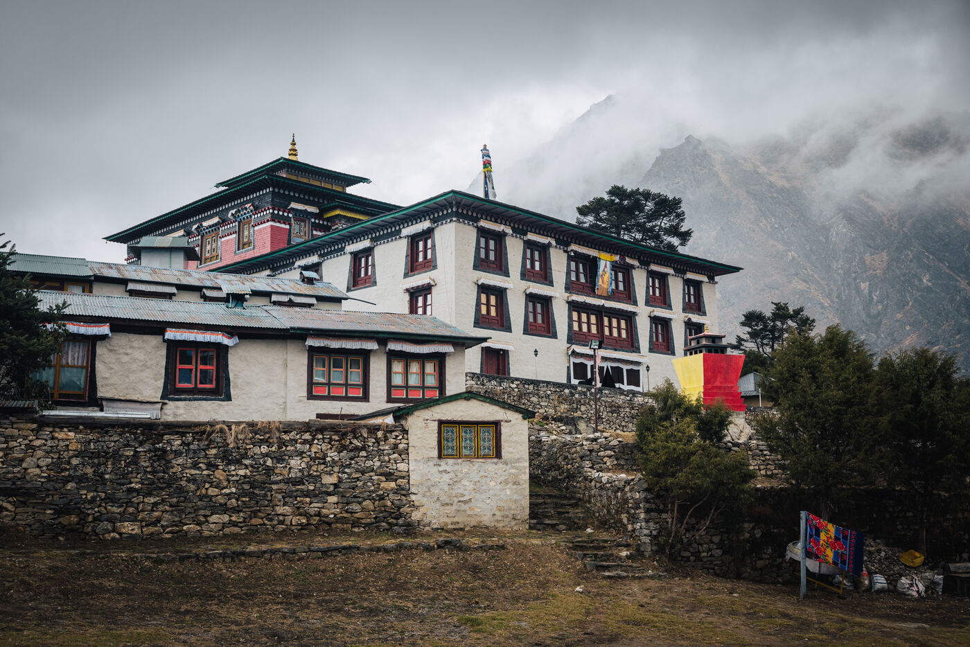
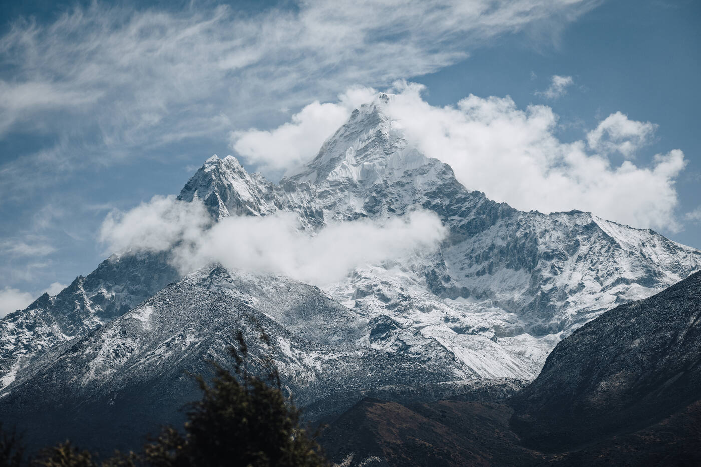
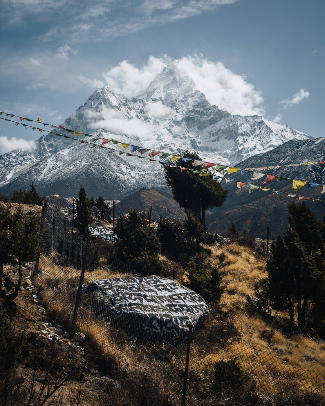
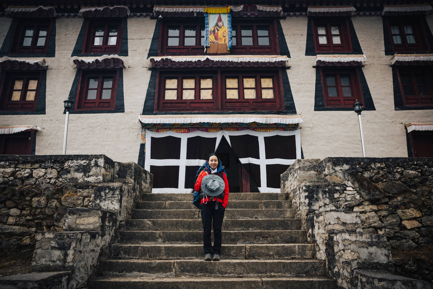
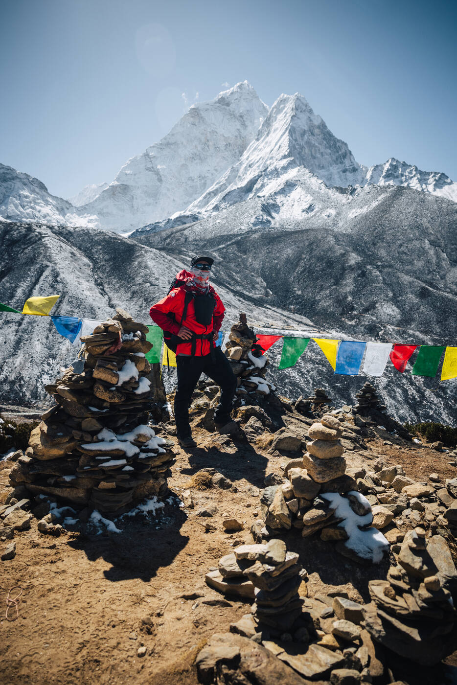
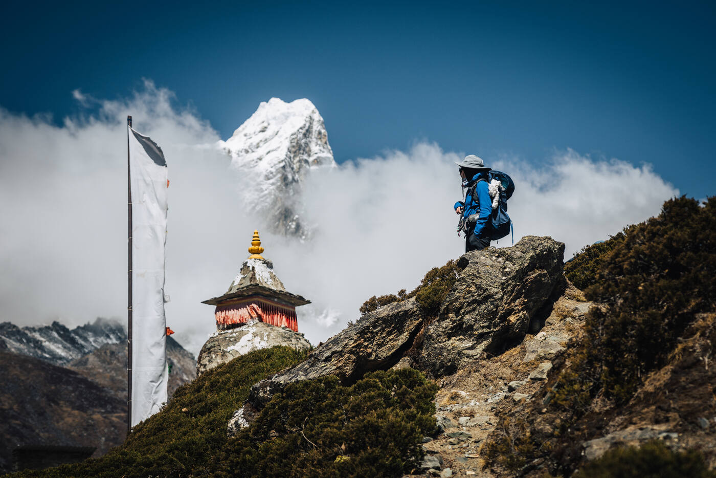
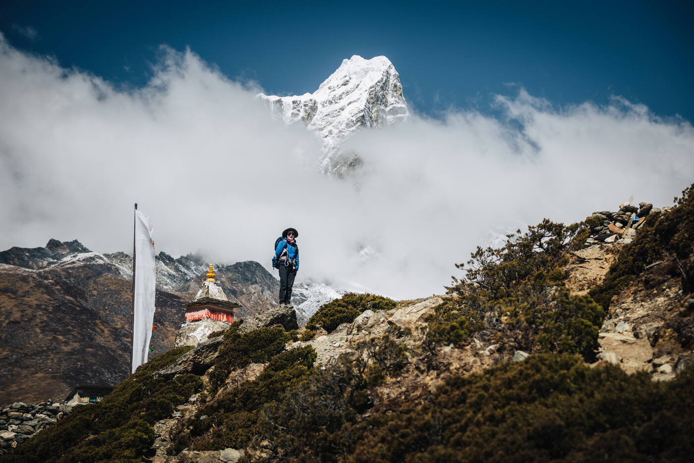
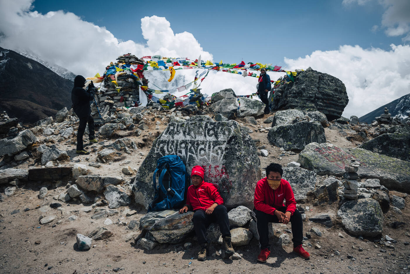
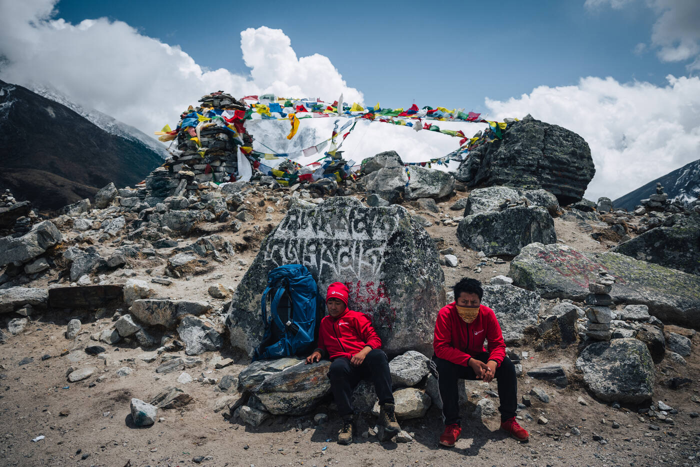
A mani rock above Namche — carved with mantras, crowned by a prayer flag. These sacred markers have guided travelers through the Khumbu for centuries.At the Tenzing Norgay Stupa. A stop to pay respects to one of the first two men to stand on Everest's summit before continuing toward Deboche.Tengboche Monastery at 3,867 meters, with Ama Dablam behind.Spinning prayer wheels at the Tenzing stupa. Each rotation releases a mantra into the Khumbu wind.
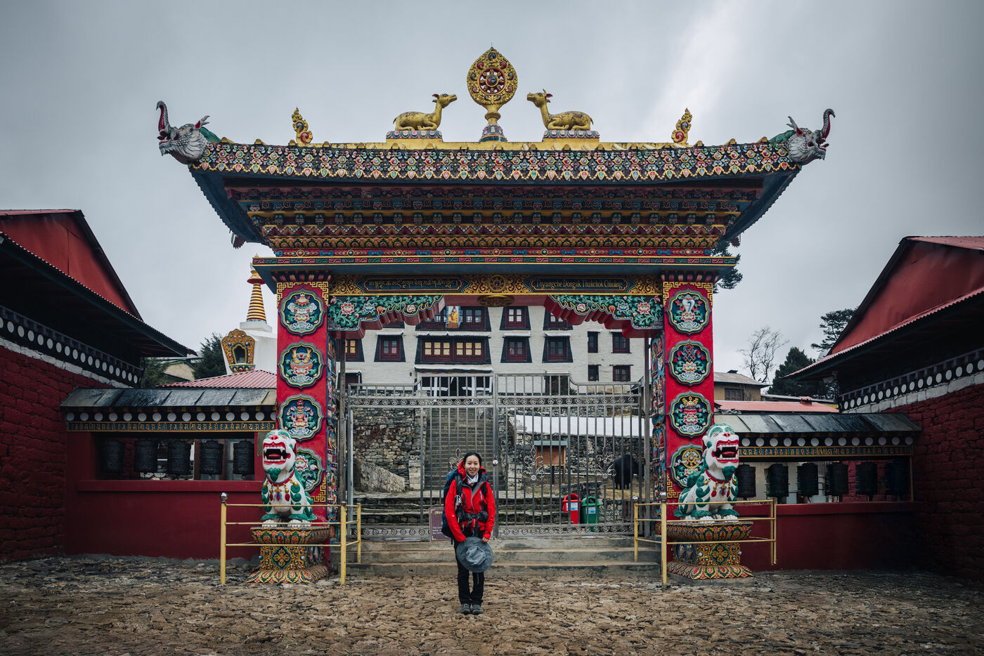
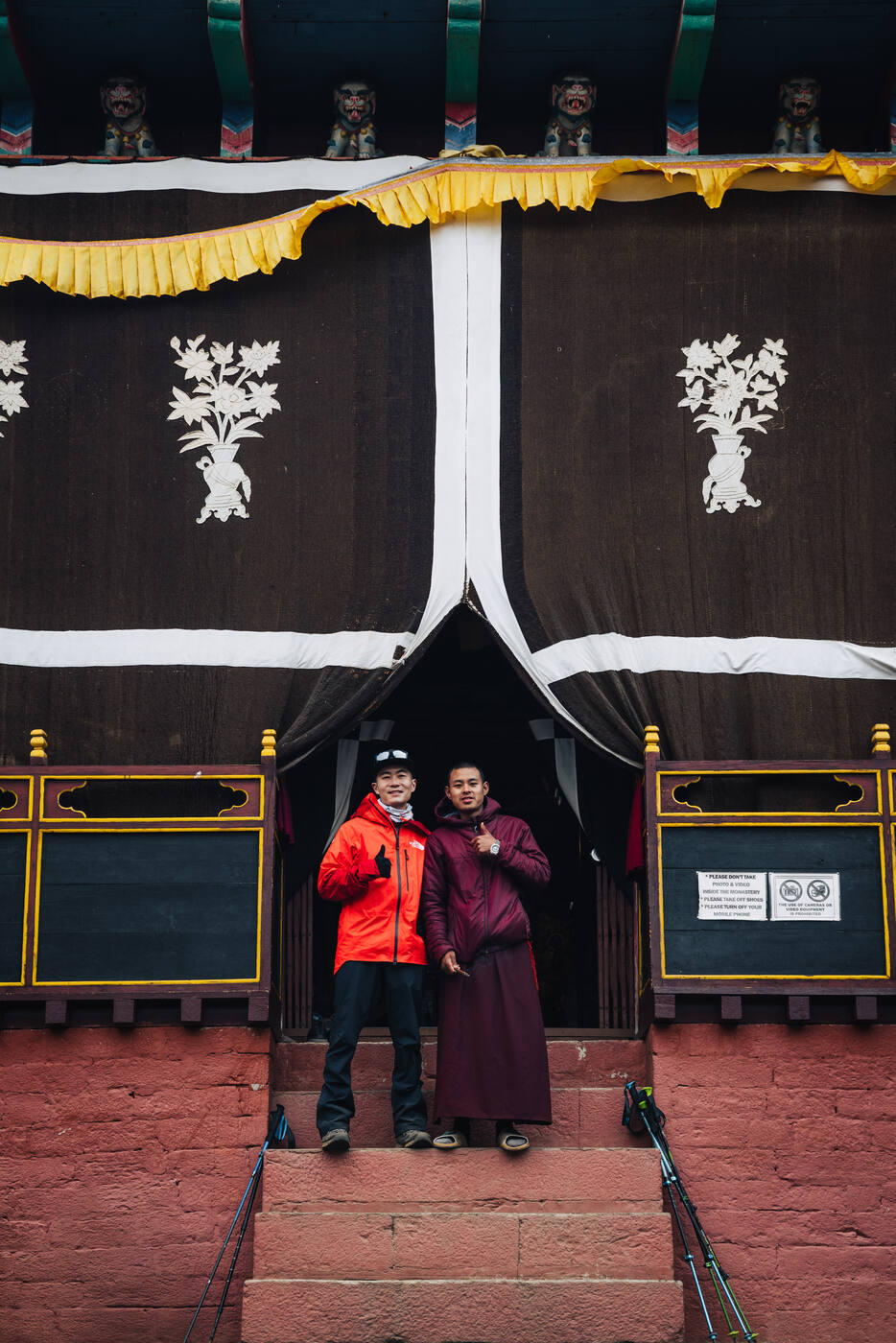
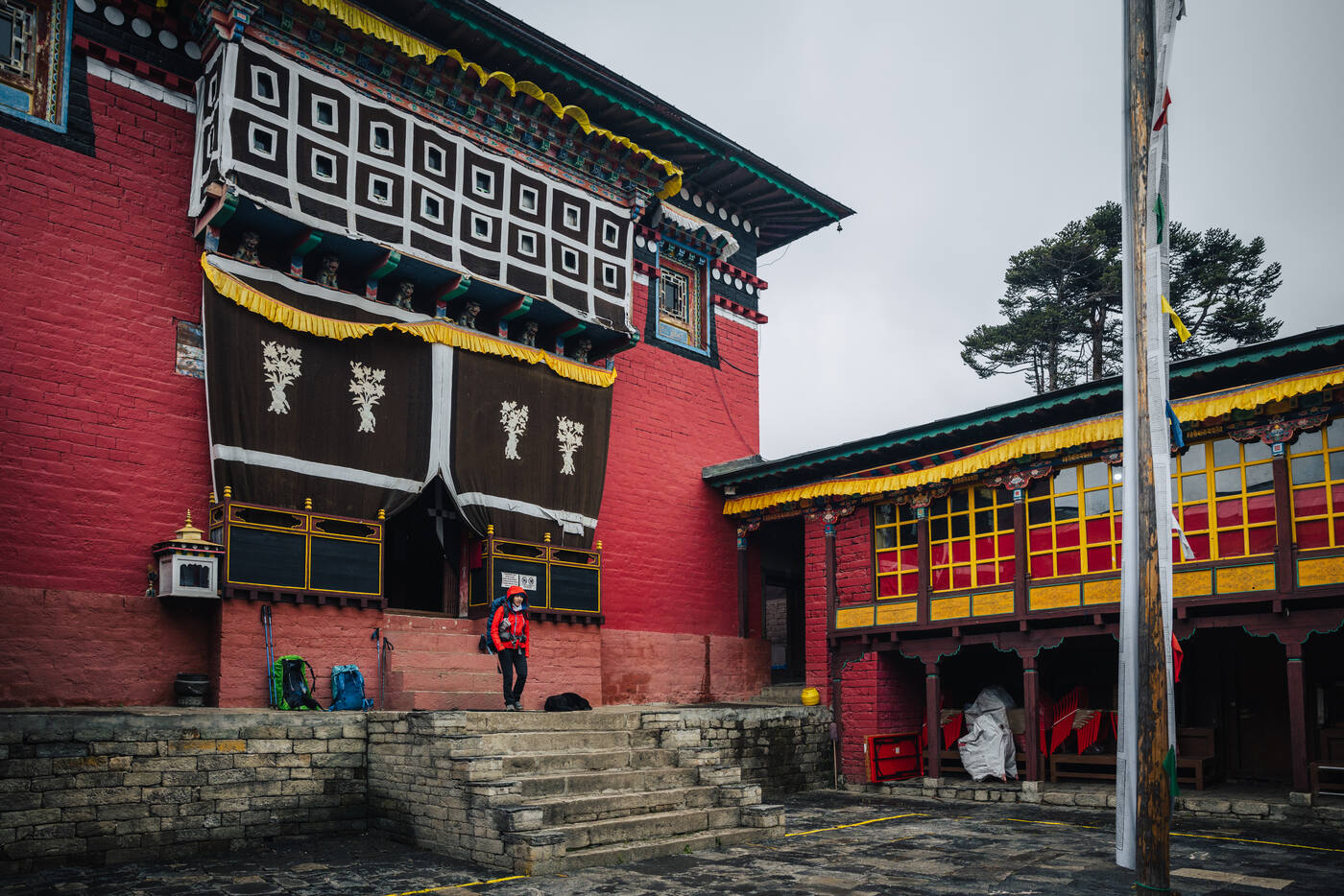
We arrived at Tengboche Monastery, one of the most significant Buddhist monasteries in the region. Stepping inside, the smell of incense and butter lamps filled the air. The painted murals and golden statues create a sense of peace that contrasts sharply with the physical challenge of getting here.
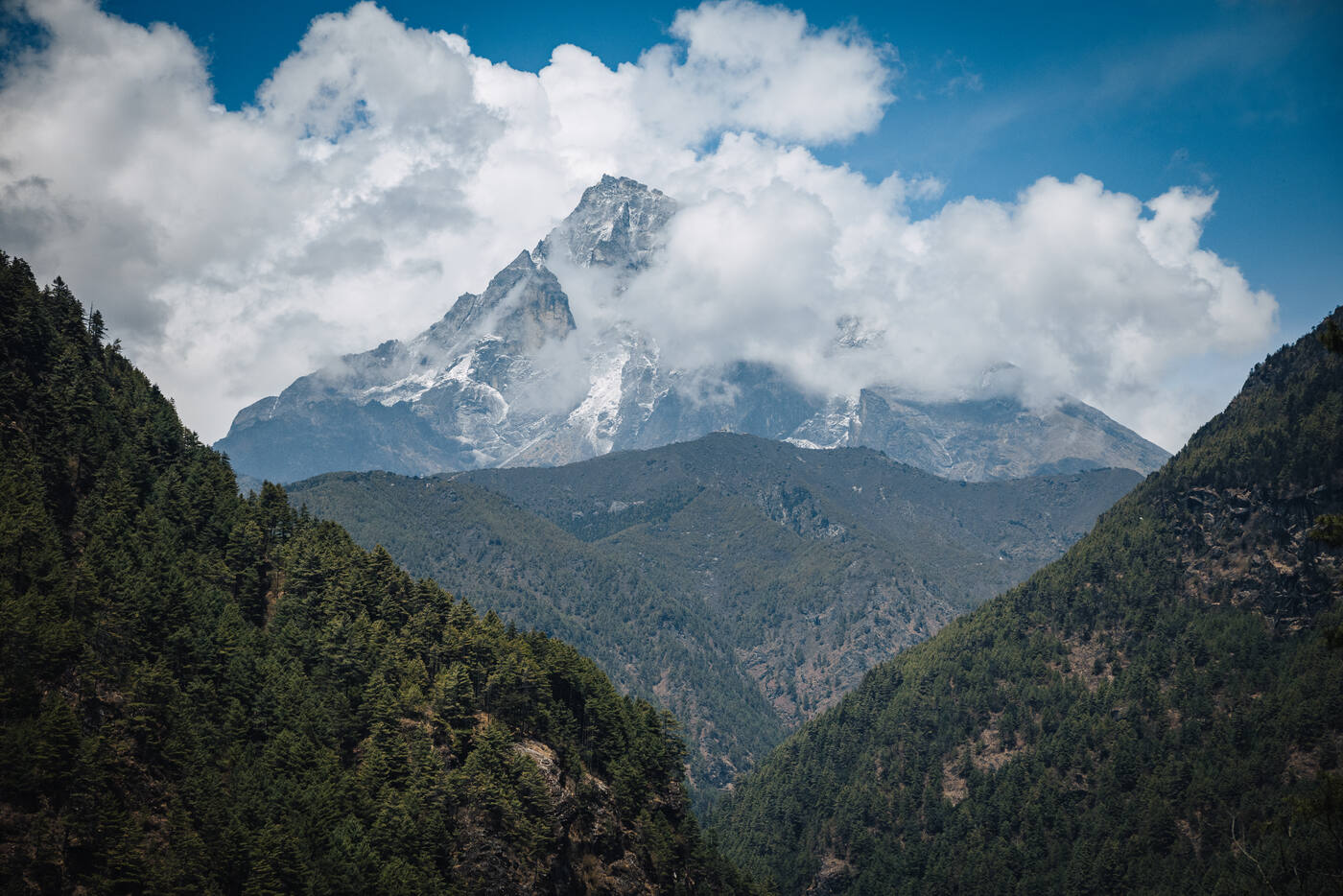
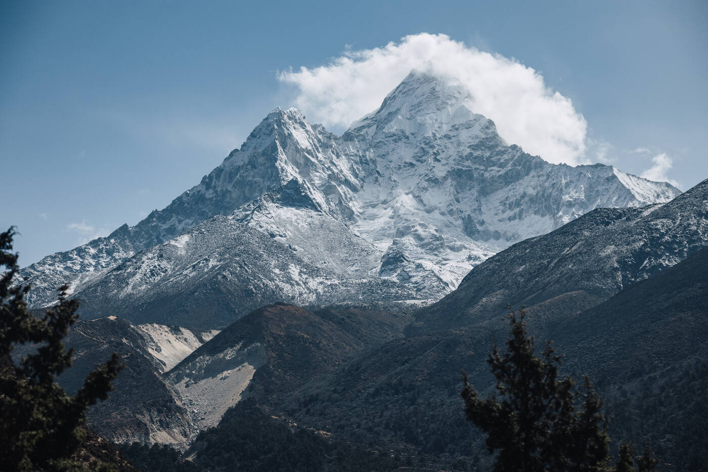
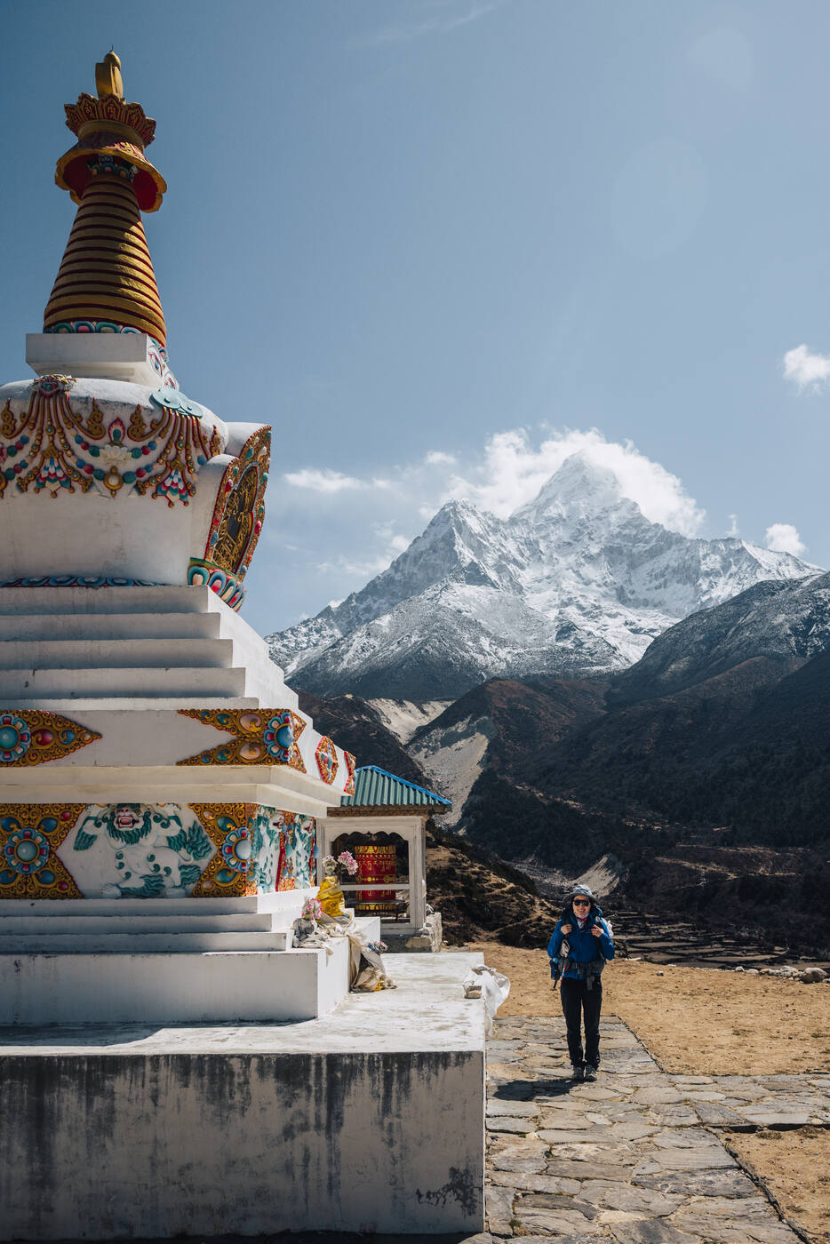
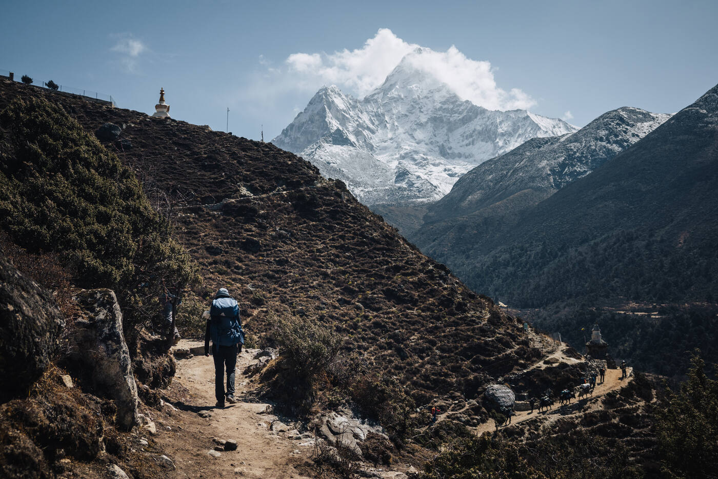
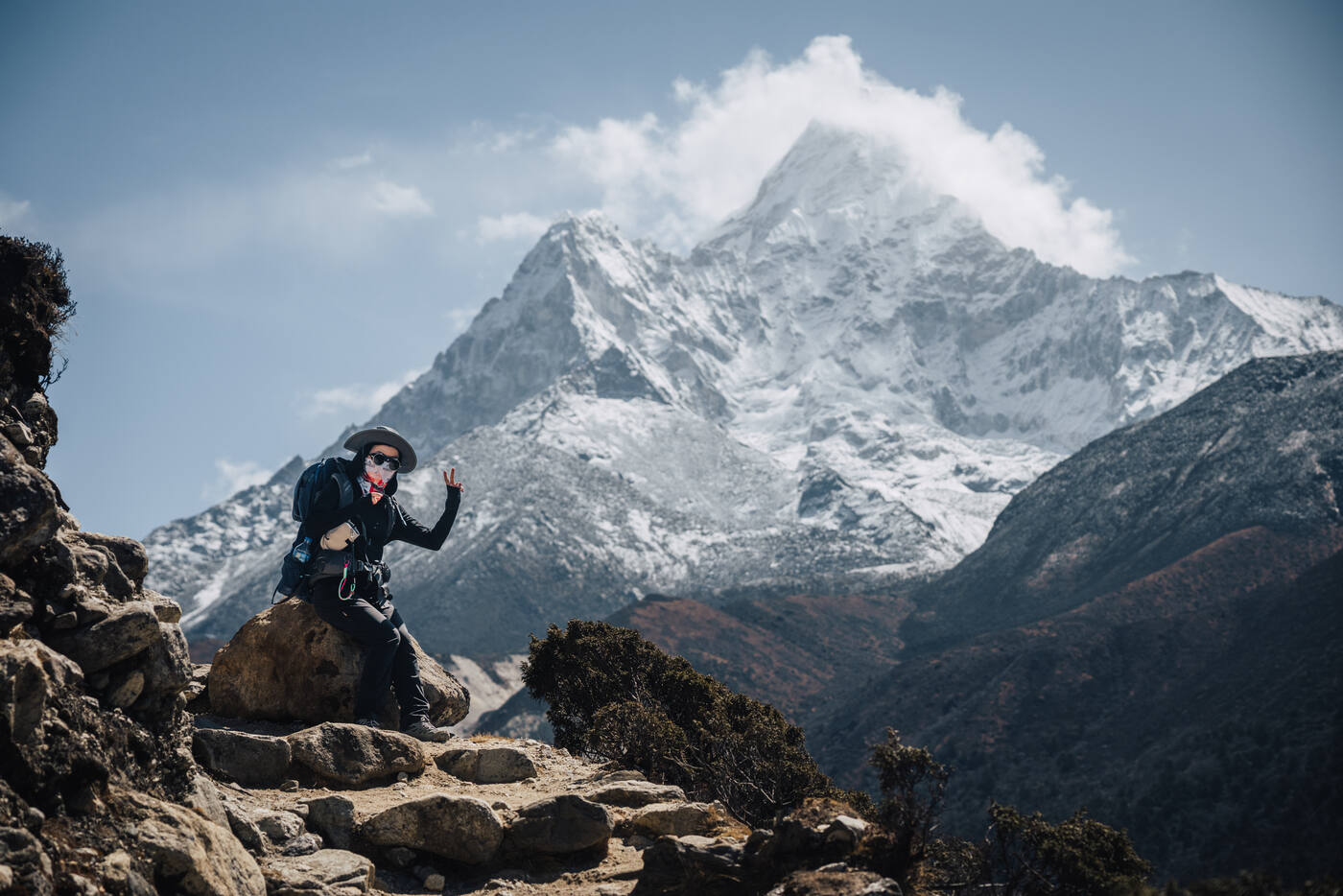
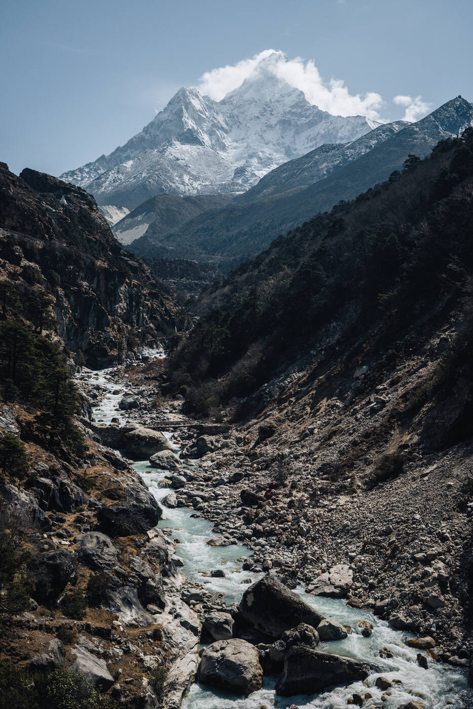
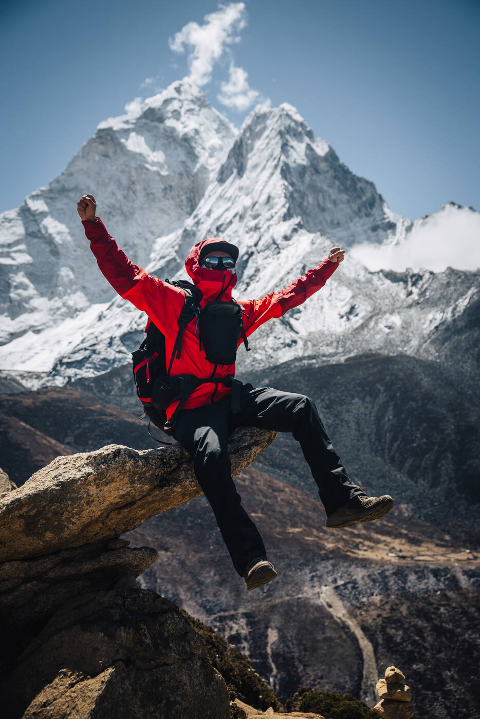
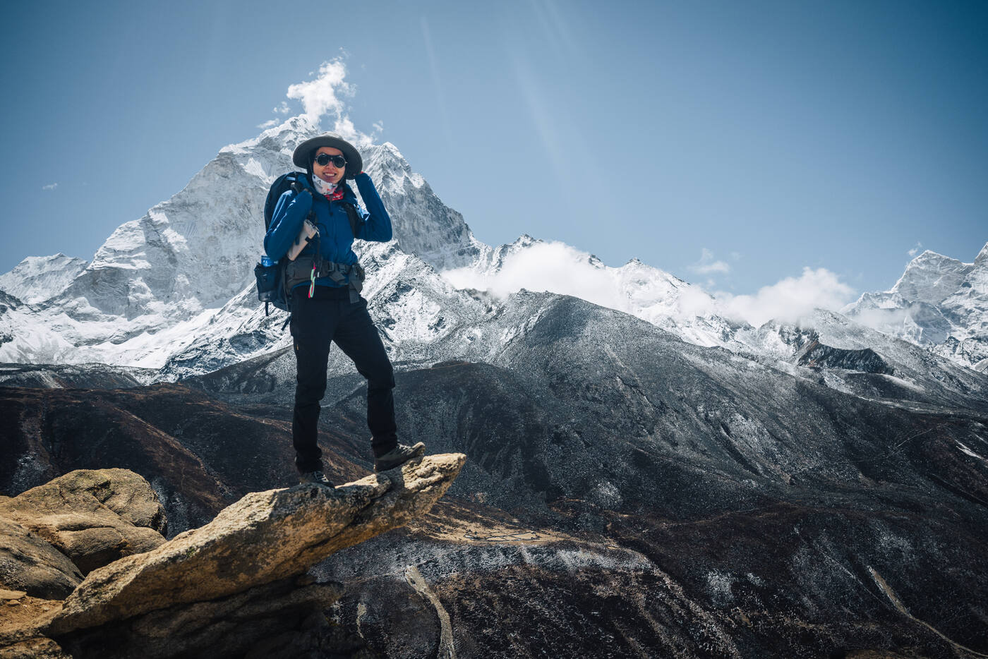
We've officially passed the halfway point to Everest Base Camp. Left Deboche this morning under crystal clear skies, with Everest and Lhotse dominating the horizon ahead. Ama Dablam showed off her perfect pyramid shape to our right, living up to her reputation as one of the most beautiful mountains in the world. Blue skies, sunshine, and visibility that stretched for miles. Days like this remind you why people fall in love with the Himalayas.
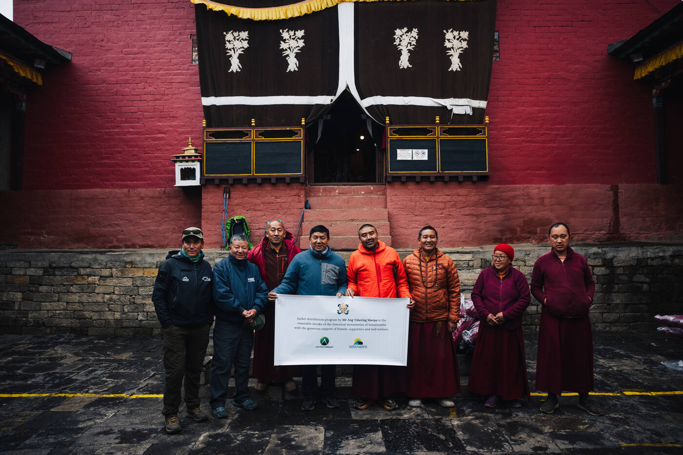
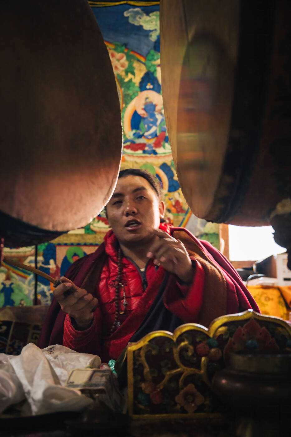
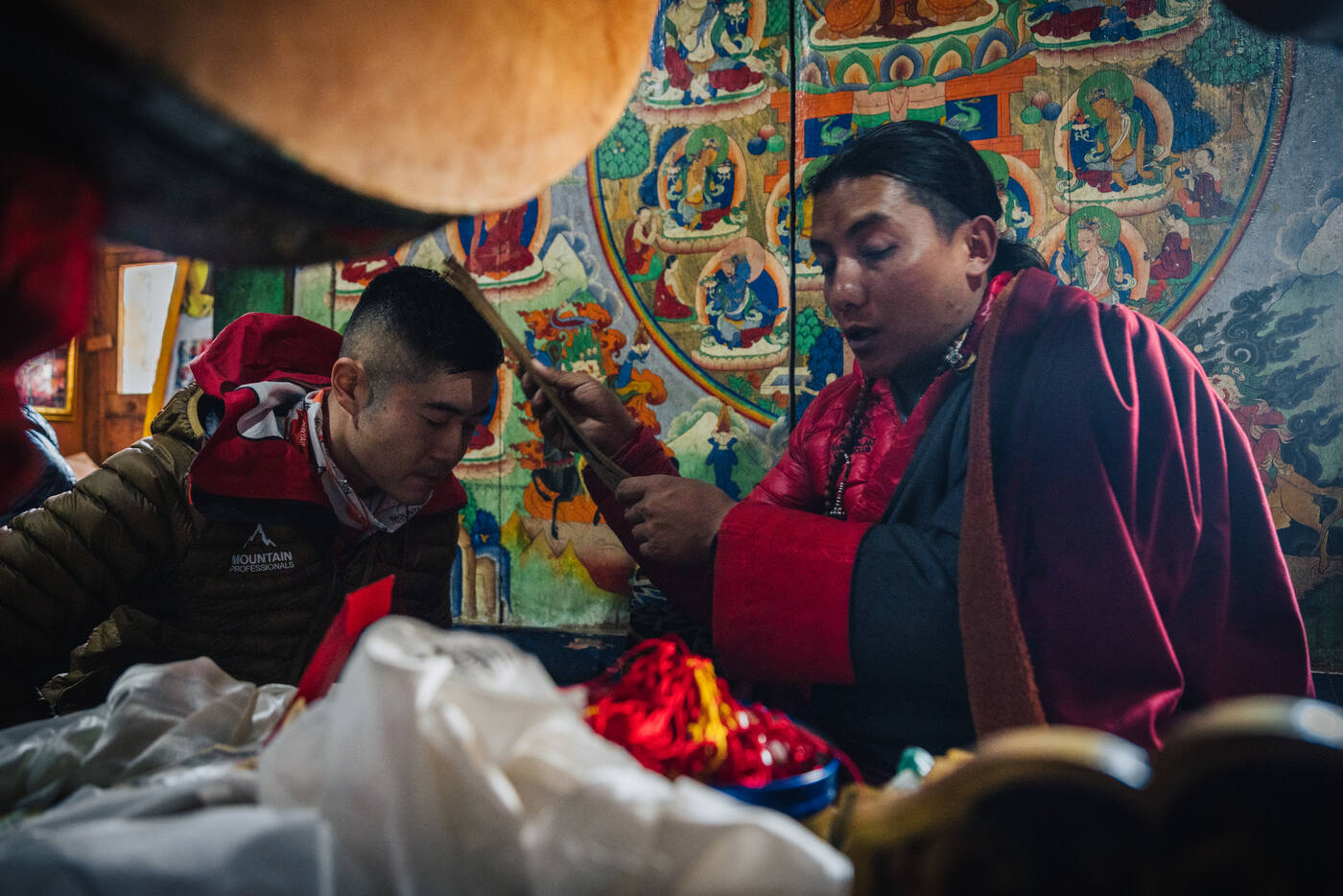
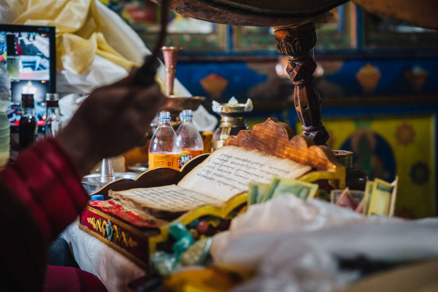
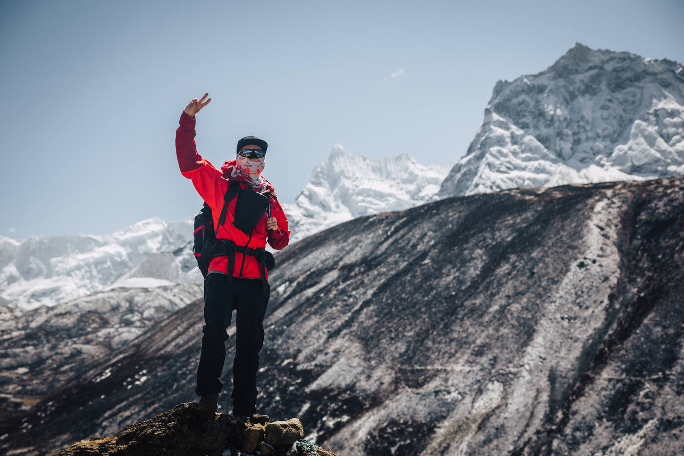
Our morning trek brought us to Pangboche Monastery, where we participated in a Puja ceremony. The monks chant prayers for safe passage, burn juniper incense, and bless both the climbers and their equipment. Prayer flags are strung, rice is thrown, and tsampa (barley flour) is smeared on faces as part of the ritual. It's a humbling reminder that for the Sherpa people, these aren't just mountains, they're sacred spaces. We're guests here, and the Puja asks the mountain gods for permission to climb.
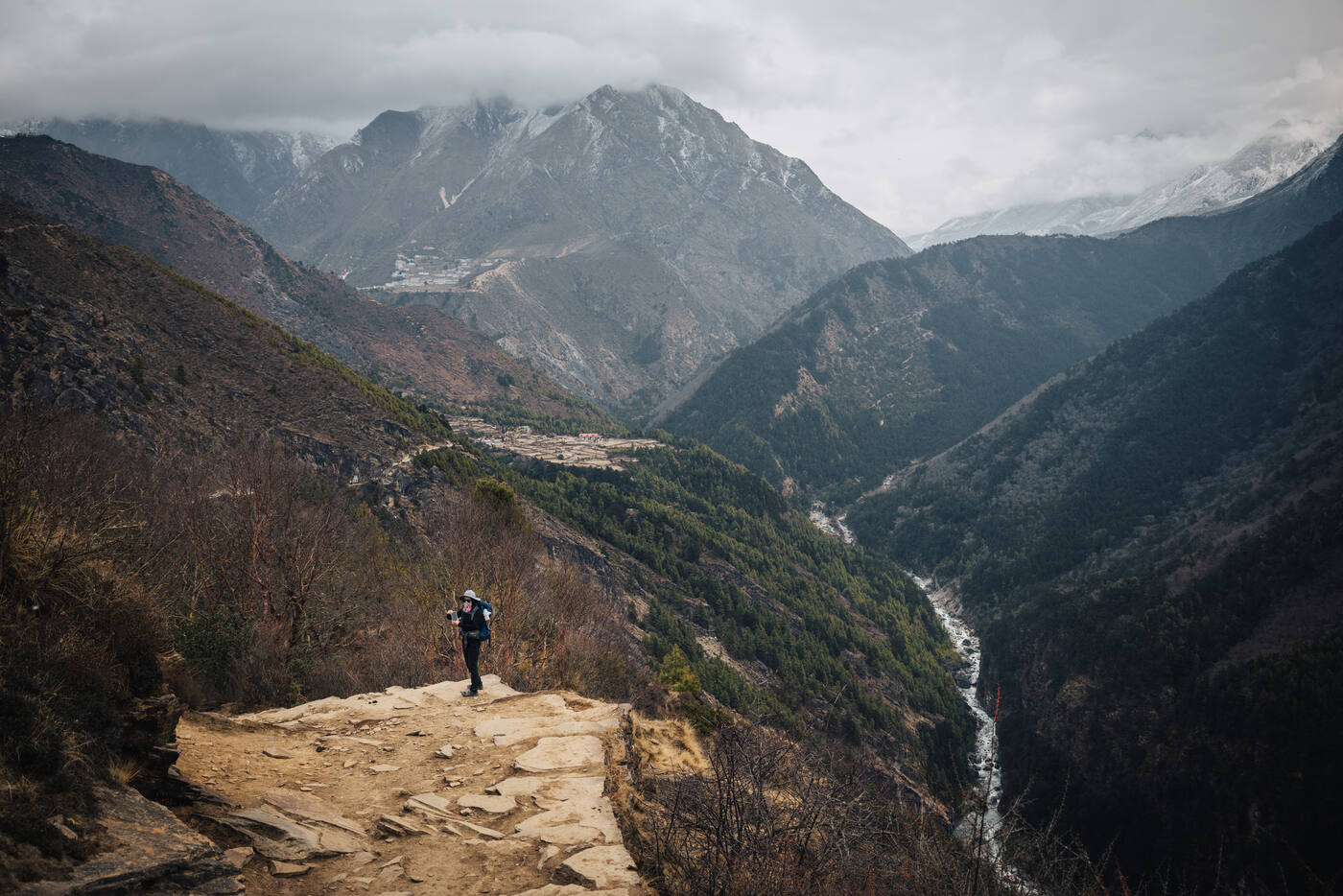
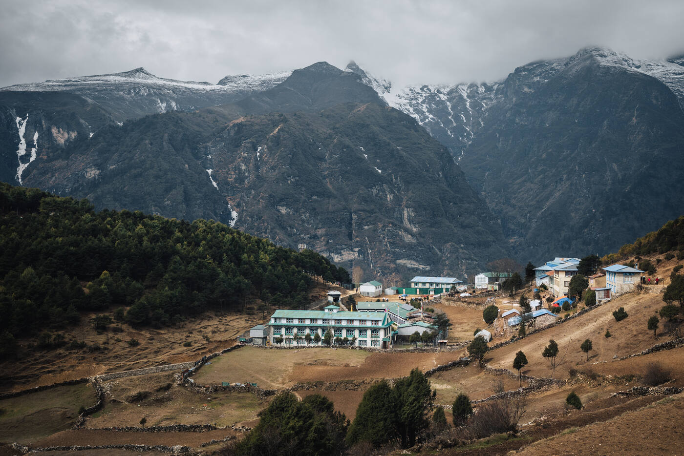
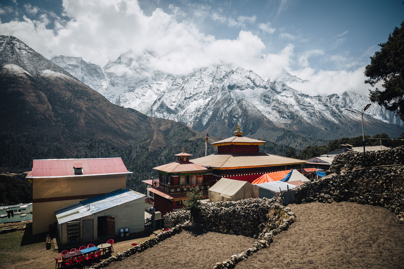
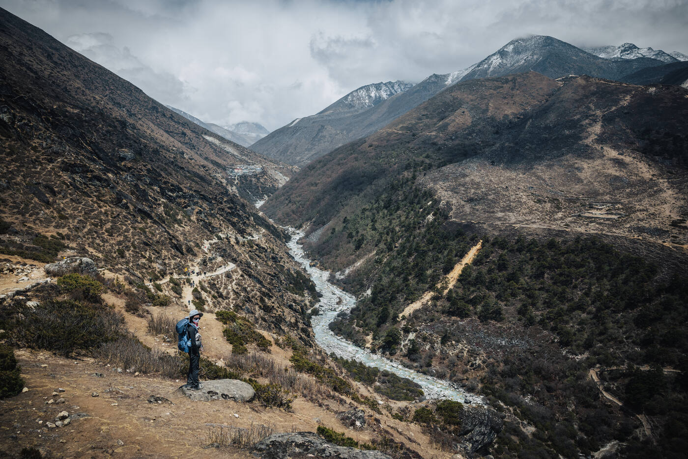
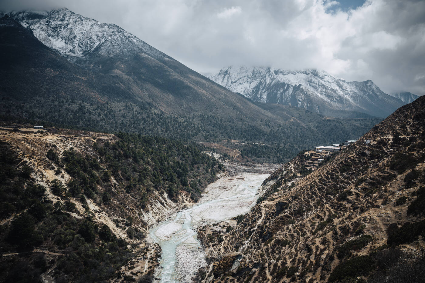
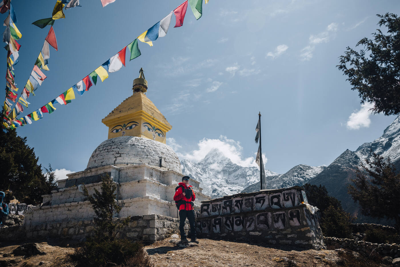
A stupa on the trail above Deboche, snow-covered ridges towering over the valley. The landscape grows more stark as we climb.Pangboche Monastery, where we participated in the Puja. The oldest monastery in the Khumbu, it sits at 3,985 meters looking out on Ama Dablam.A monk beats the ceremonial drums during the Puja.Pausing above the Dudh Koshi gorge on the way to Pangboche. The valley drops away for thousands of feet on either side.Pangboche from above, lodges tucked into terraces below waterfall cliffs. The oldest monastery in the Khumbu sits just out of frame.
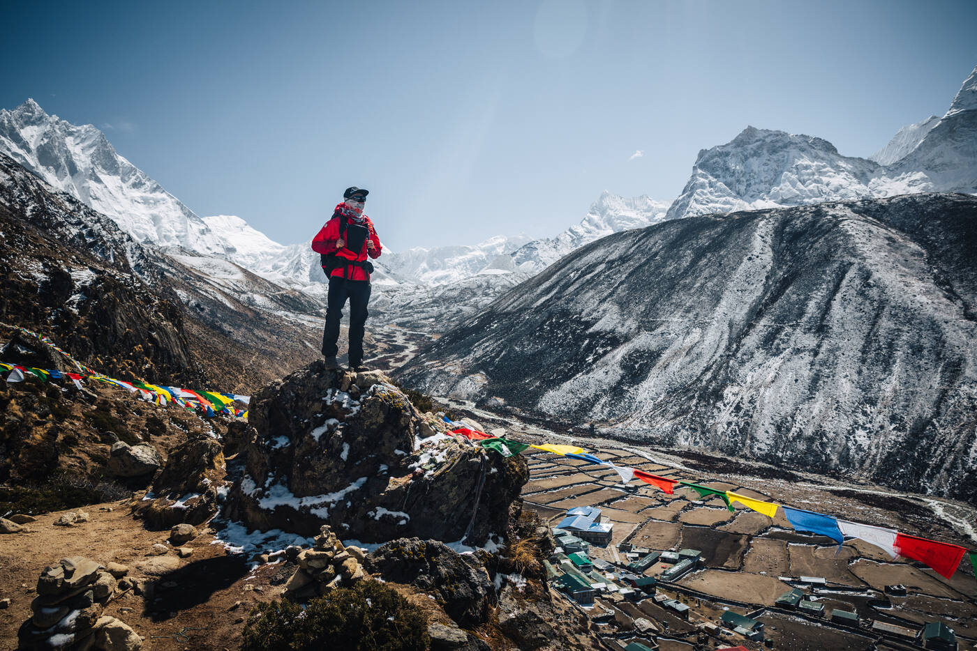
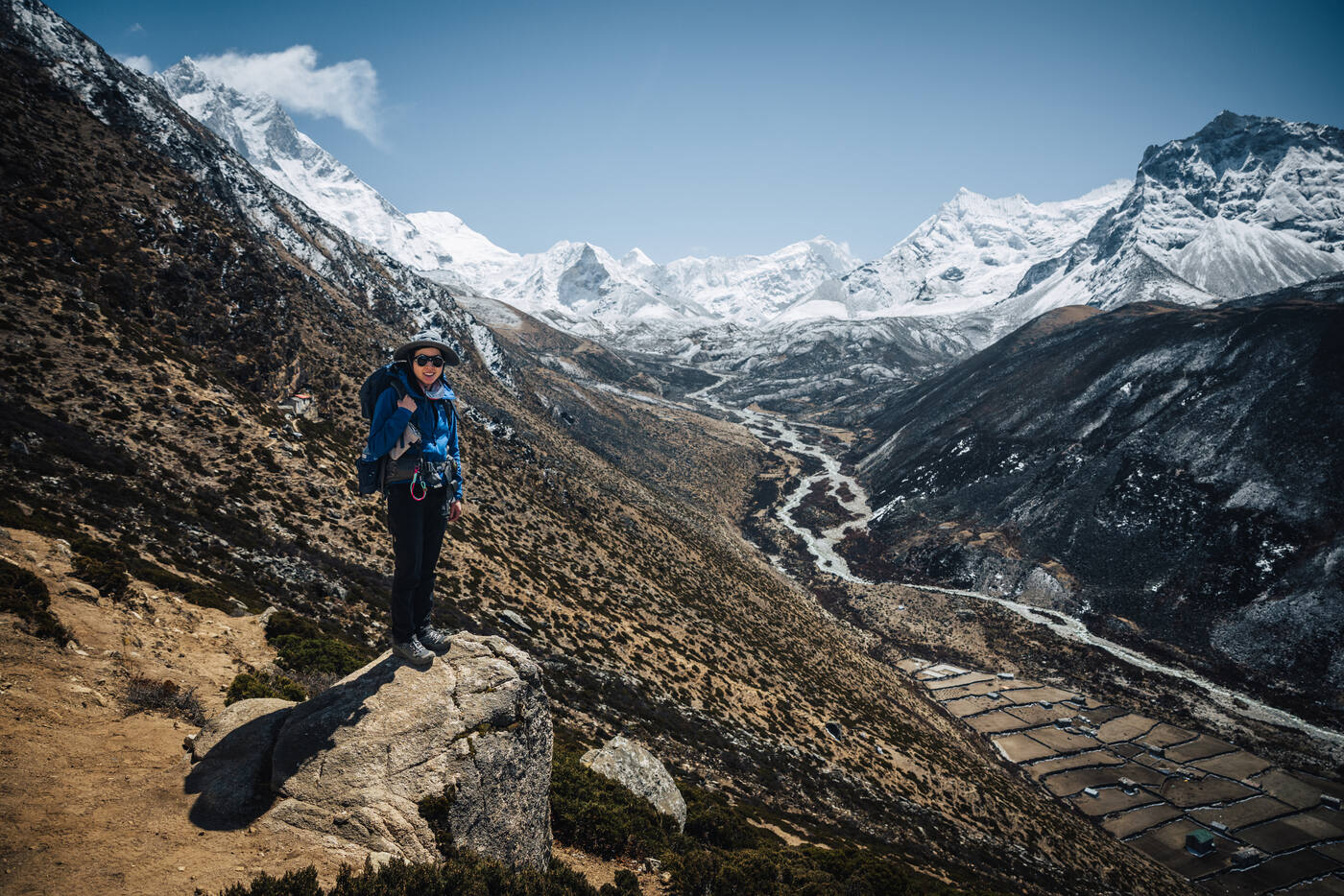
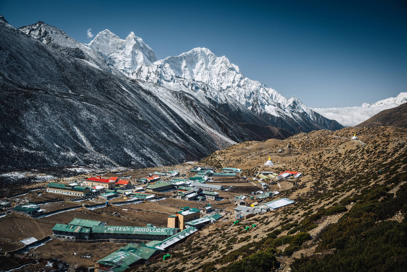
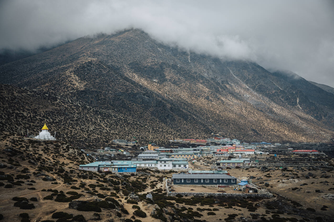
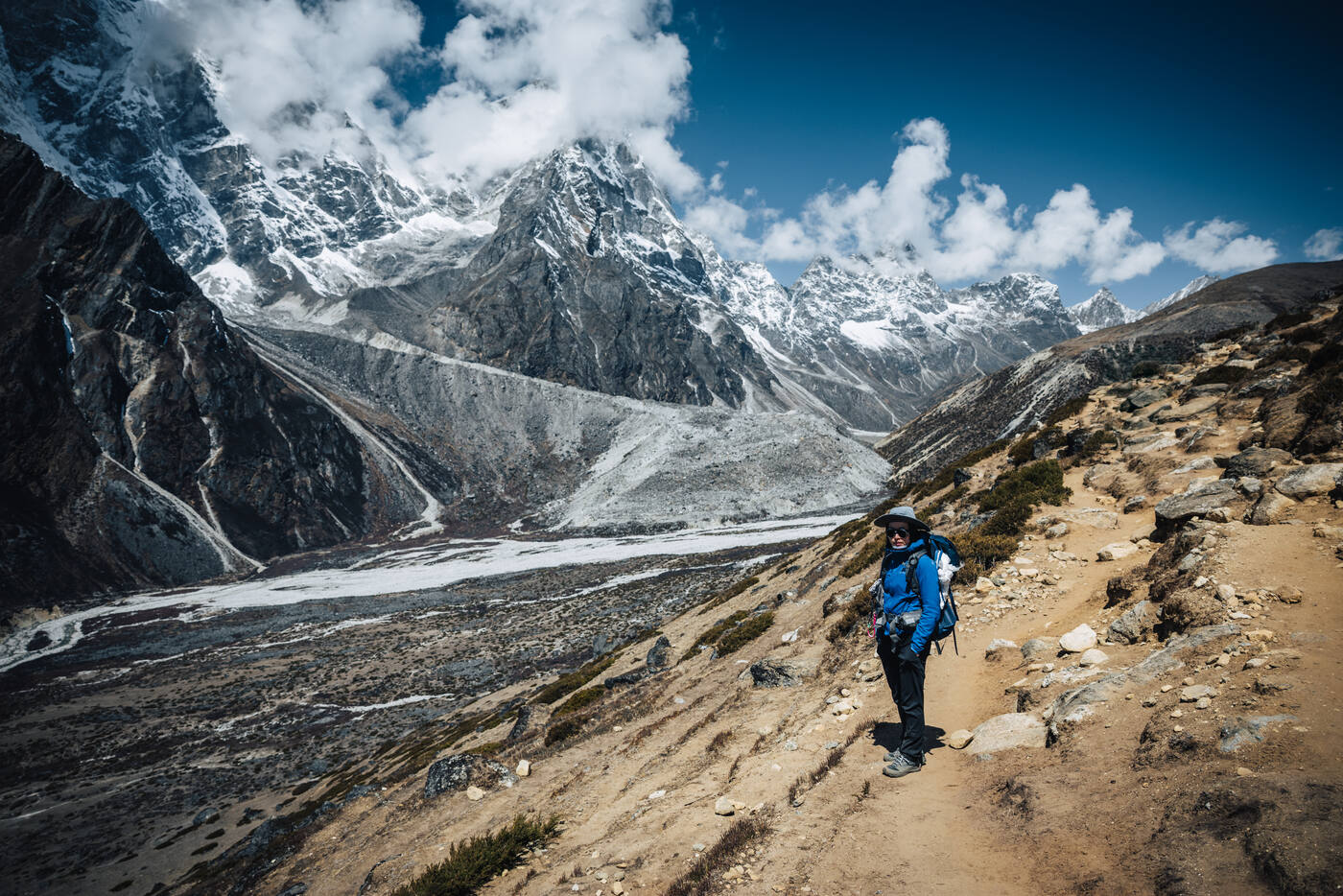
Another rest day, but "rest" is relative at 4,410 meters. Following the classic mountaineering principle of "climb high, sleep low," we hiked up Nangkartshang to reach 4,584 meters. The effort was worth every breathless step with 360-degree views that left us speechless (though the altitude might have contributed to that too). On a perfect blue sky day, we could see Everest and countless other peaks stretching to the horizon. Ama Dablam continued to steal the show from every angle.
Near the top of Nangkartshang, looking down on Dingboche's stone-walled fields. Climb high, sleep low.Summit of the acclimatization hike. Ama Dablam owns the sky.Back at the Dingboche Inn. Two lattes, board games waiting, and hours to kill at 4,410 meters.
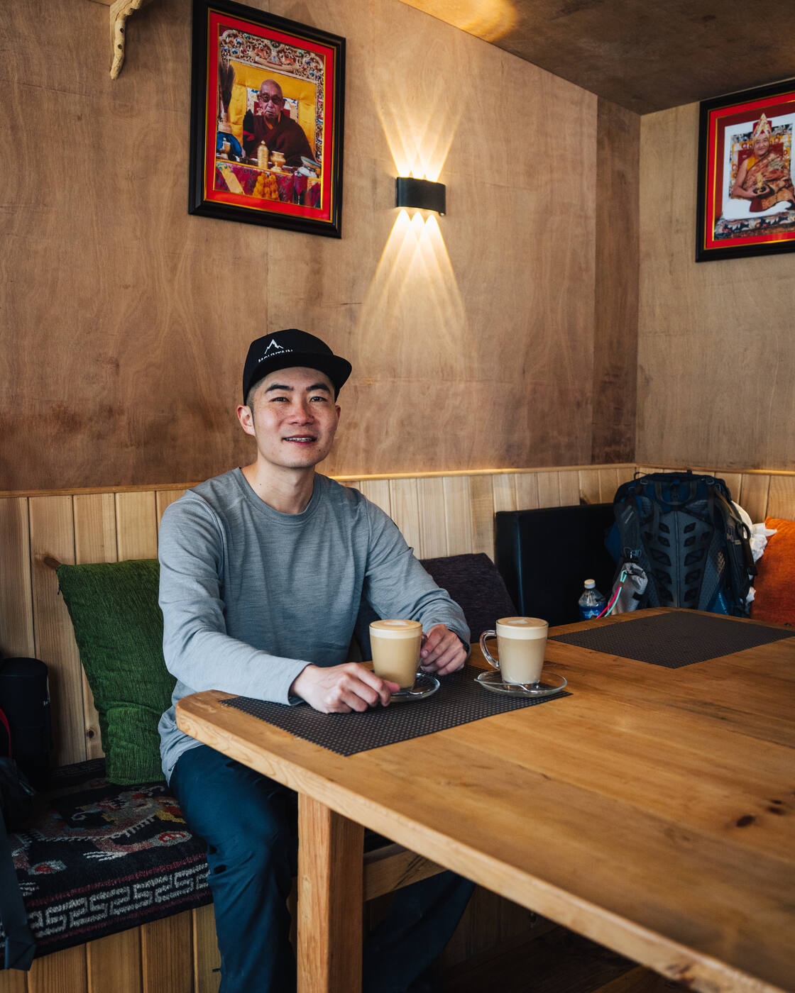
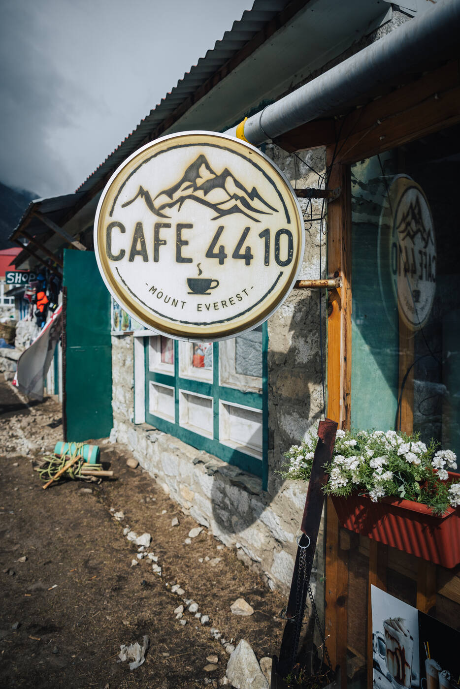
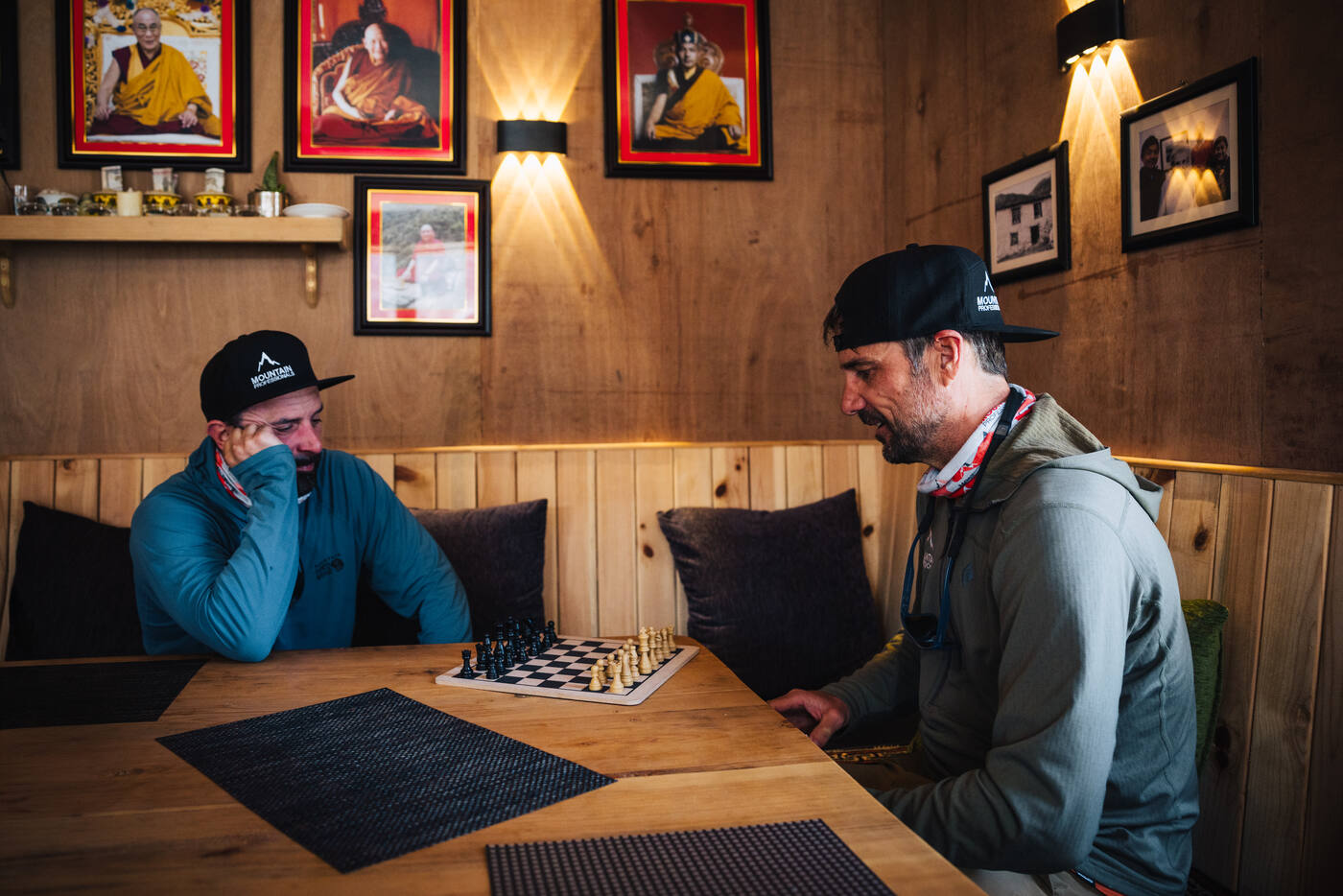
After earning those views and helping our bodies adapt to the thin air, we descended back to Dingboche for a more relaxed afternoon. The Dingboche Inn became our refuge, where we spent hours over coffee, pastries, and board games. And even took a hot shower. There's something surreal about playing cards and eating fresh-baked goods while surrounded by 6,000-meter peaks.
These acclimatization days are crucial but also offer a chance to slow down and appreciate where we are. Tomorrow we push higher toward Lobuche, but today was about letting our red blood cells multiply and enjoying the simple pleasures that somehow exist at this altitude.
Day 08
Dingboche to Lobuche
Dingboche 4,410m · Thukla 4,620m · Lobuche 4,933m
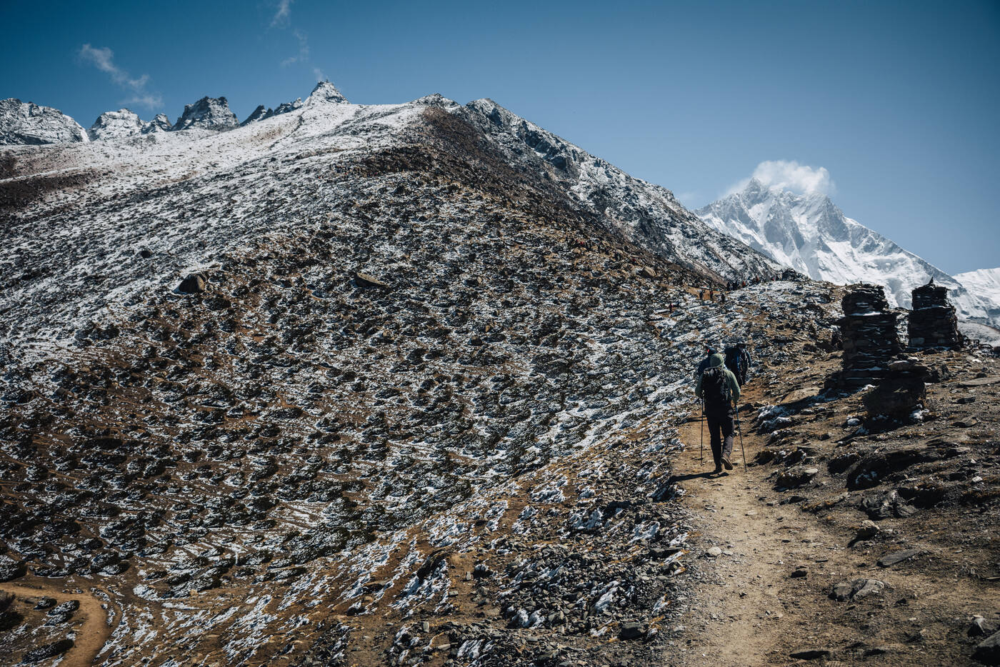
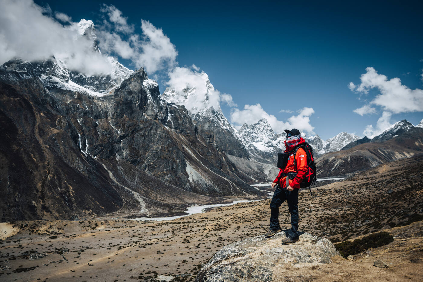
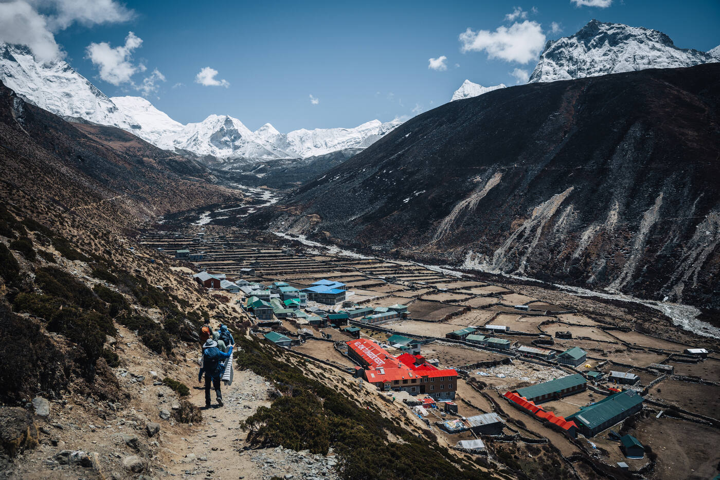
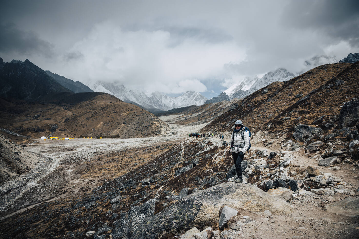
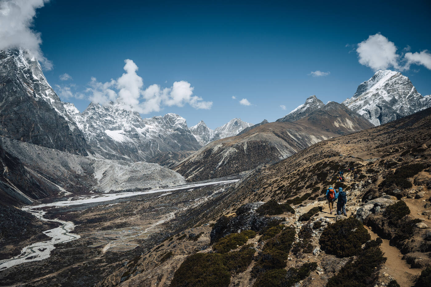
The landscape is transforming before our eyes. As we climbed from Dingboche at 4,410 meters to Lobuche at 4,933 meters, the last traces of greenery disappeared. We're fully in the alpine zone now, surrounded by rock, ice, and the raw beauty of the high Himalayas.
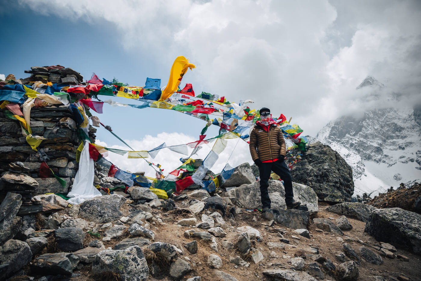
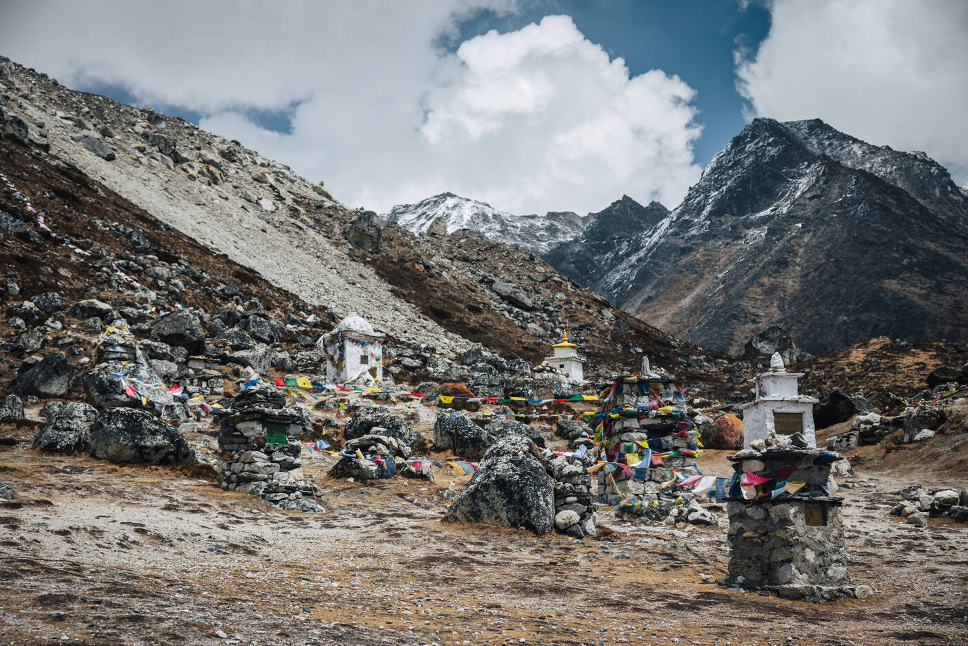
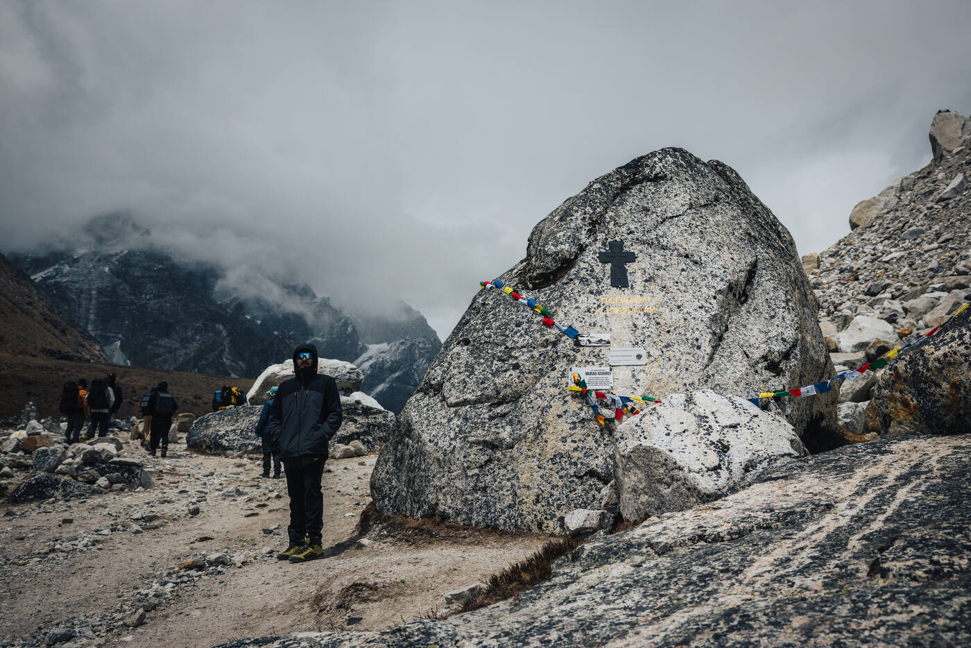
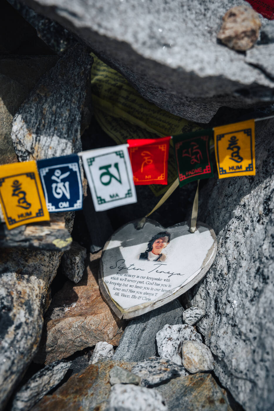
We stopped for lunch at Thukla (4,620m), fueling up before the afternoon's climb. The trail from Thukla leads to one of the most sobering sections of the trek: the Everest Memorial at Chukpi Lhara. Stone cairns and plaques honor climbers and Sherpas who lost their lives on Everest and surrounding peaks. Names and dates tell stories of dreams cut short. It's a stark reminder of why we had the Puja ceremony, and why every decision in the mountains must be made with respect and caution.
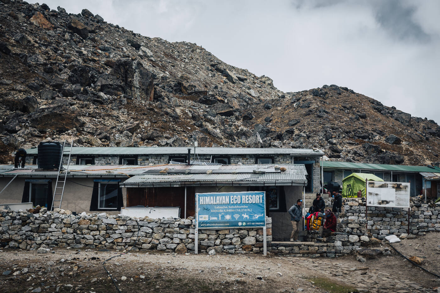
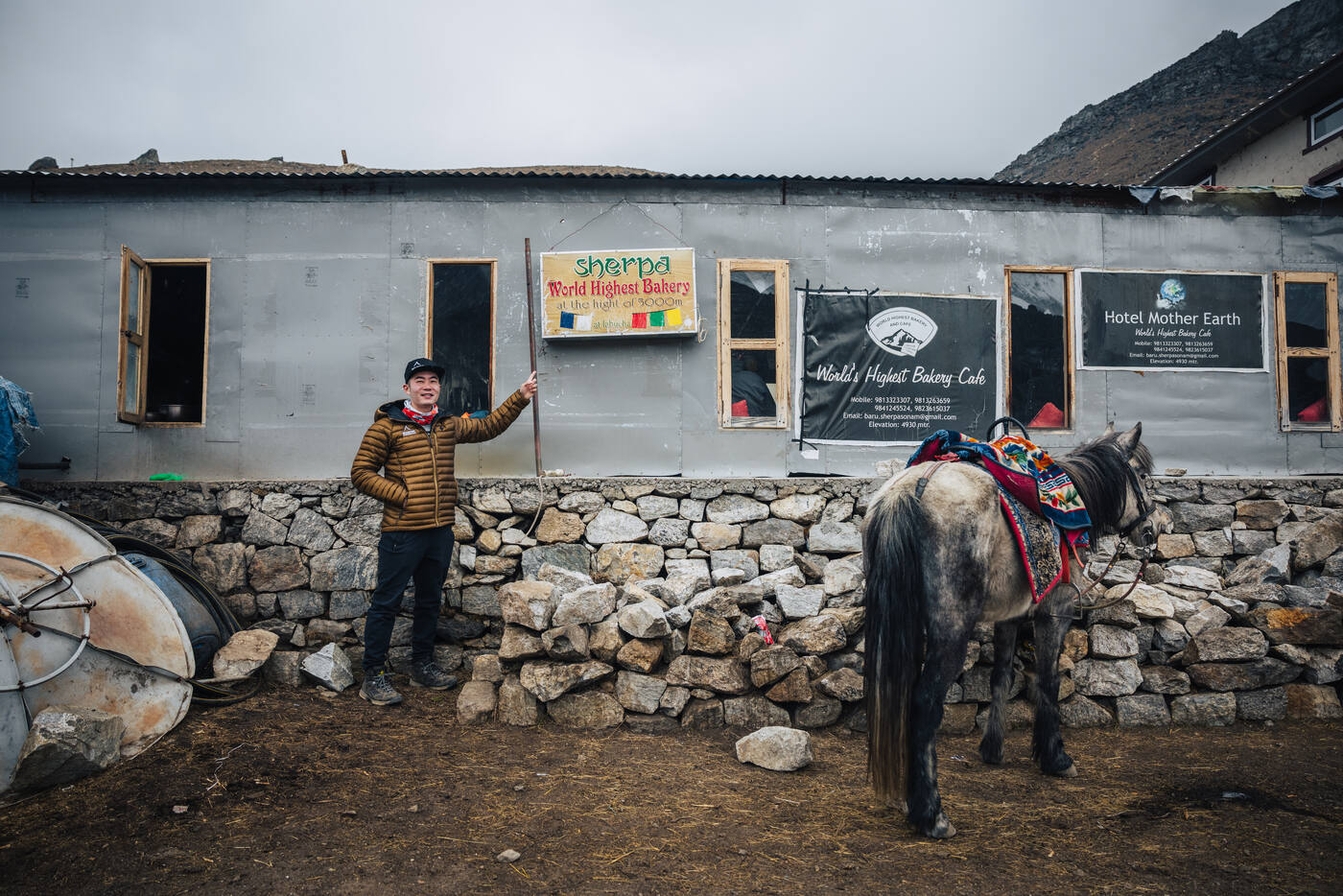
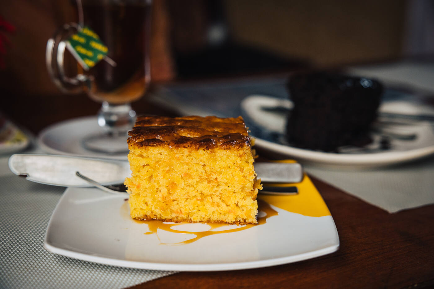
Thukla Pass memorial at 4,830m. Every trekker pauses here. The prayer flags remember climbers who didn't come home.Checking in at the Himalayan Eco Resort in Lobuche, 4,933 meters.Carrot cake at the World's Highest Bakery, 4,933 meters.
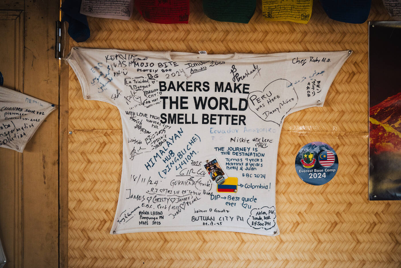
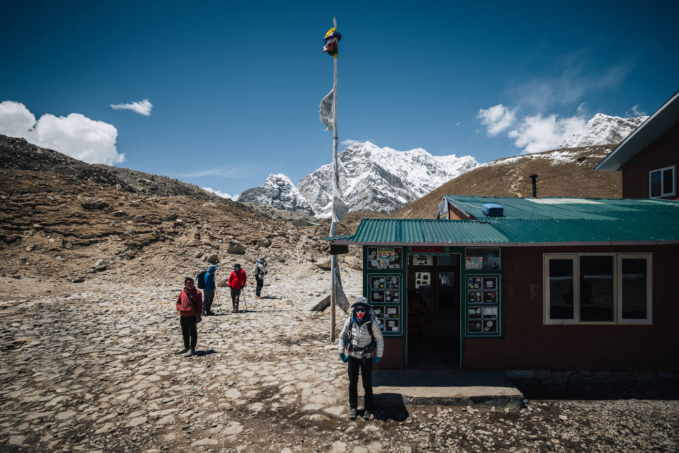
Arriving in Lobuche, we checked into the Himalayan Eco Resort. Hot showers and a comfortable restaurant lounge made the thin air a bit easier to bear. Couldn't resist checking out the World's Highest Bakery next door. Ordered carrot cake because when you find fresh-baked goods at high altitude, you don't ask questions, you just eat.
Day 09
Gorak Shep and Kala Patthar
Lobuche 4,933m · Gorak Shep 5,150m · Kala Patthar 5,545m
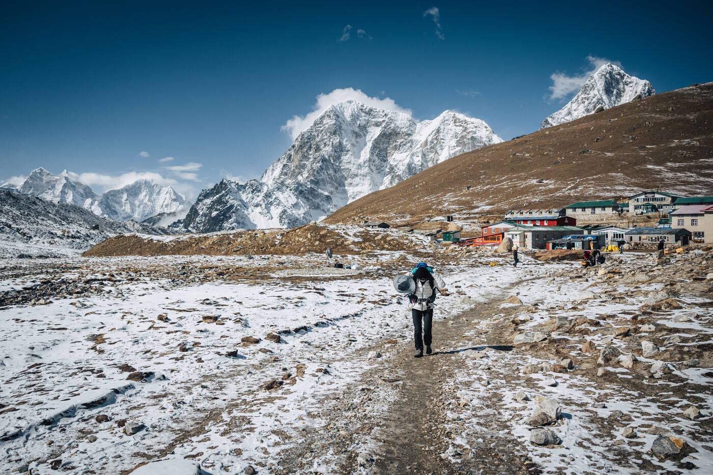
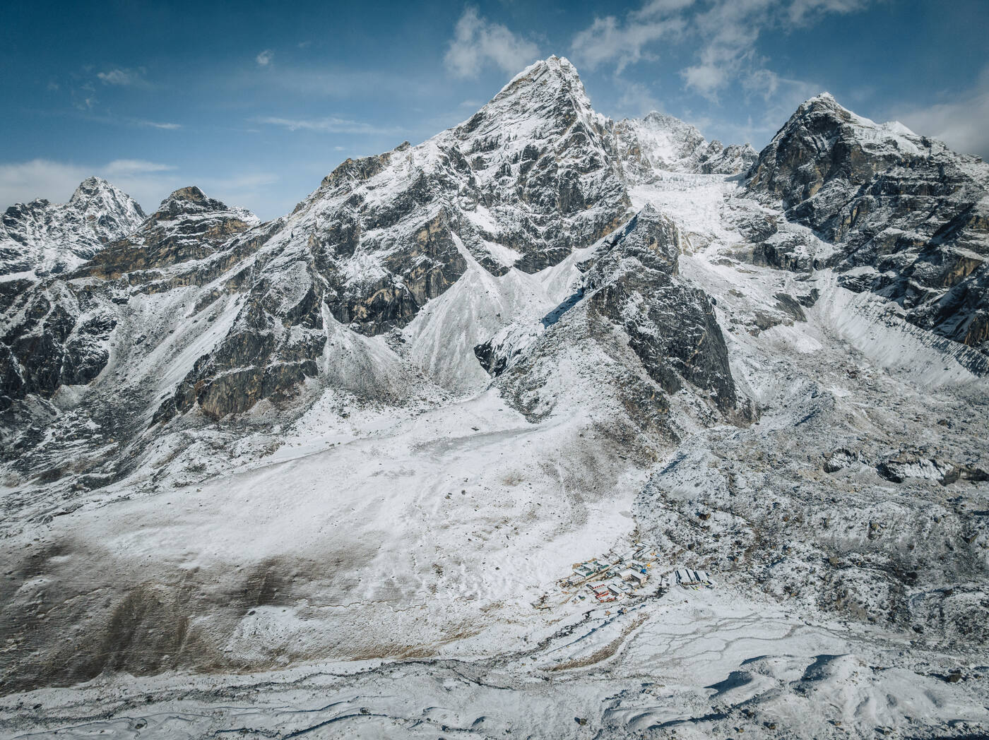
Lobuche in the morning light, before the push toward Gorak Shep.
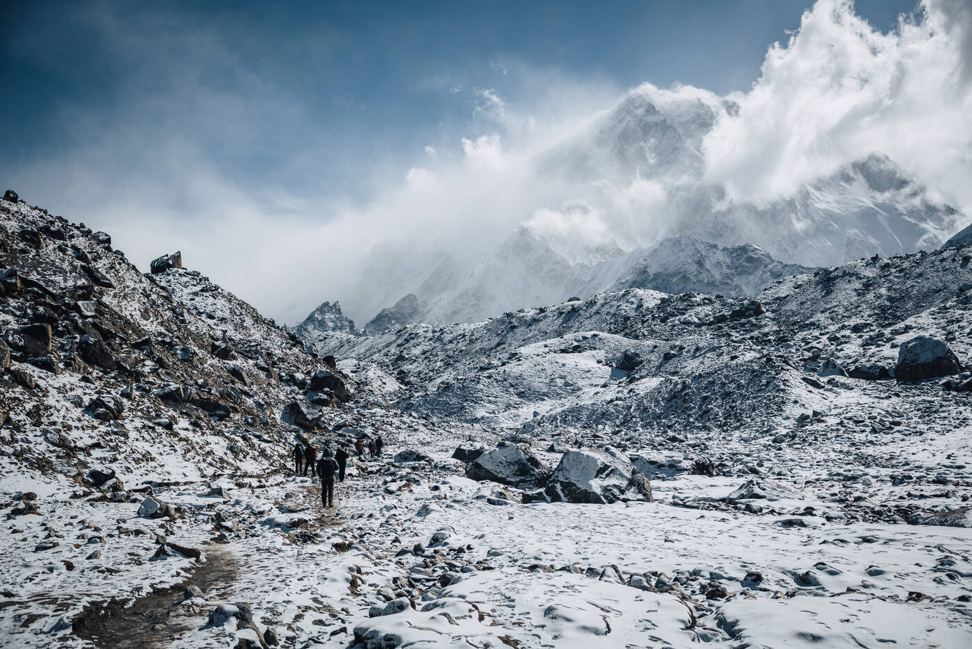
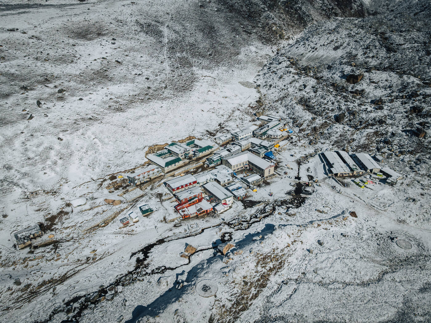
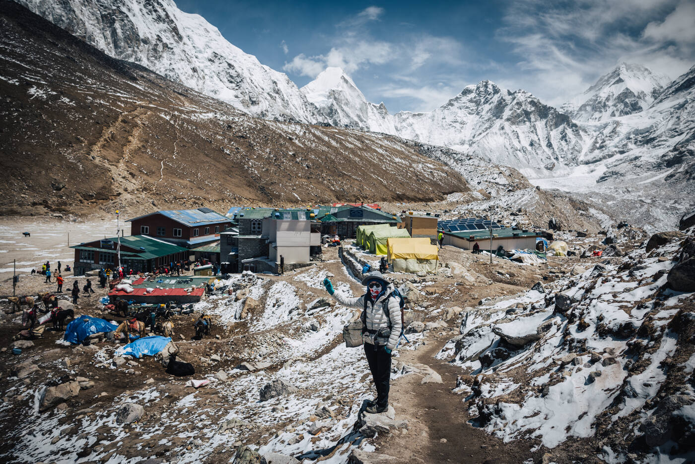
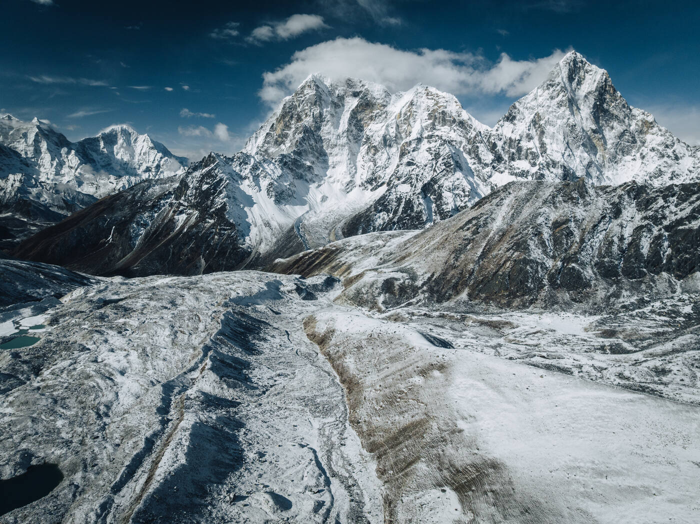
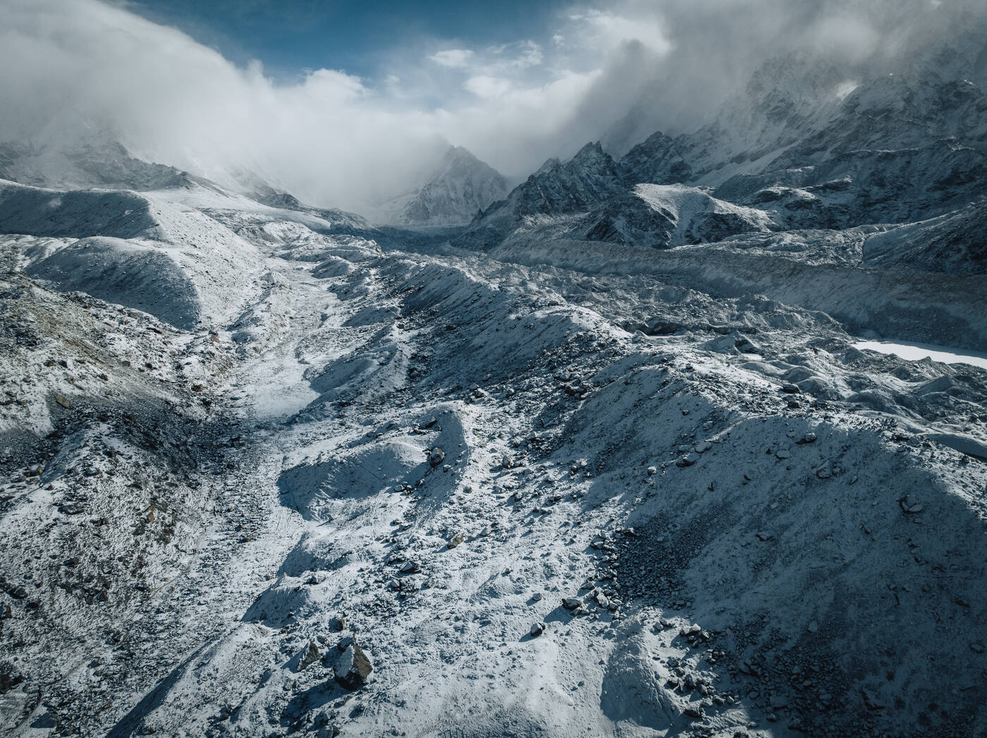
The day started with excellent news: drone permit approved. Before leaving Lobuche, I sent it up for some aerial shots. The entire valley was blanketed in fresh snow, transforming an already dramatic landscape into something otherworldly.
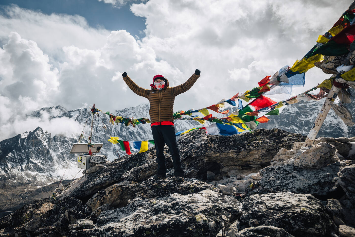
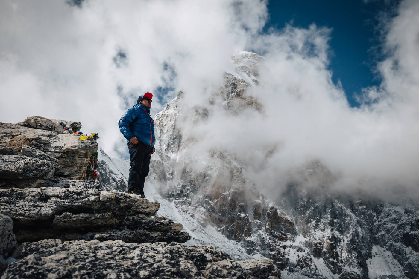
After lunch and dropping our bags at the Snowland Highest Inn, we tackled Kala Patthar for acclimatization. At 5,545 meters, this rocky outcrop offers what many consider the best views of Everest available to trekkers. The climb was brutal at this altitude, but the summit delivered on every promise. Everest dominated the skyline in a way that photos can never capture. From Kala Patthar, you see the entire Southwest Face and, tucked below it, the Khumbu Icefall we'd be climbing through in a few weeks. Nuptse, Pumori, and countless other giants surrounded us.
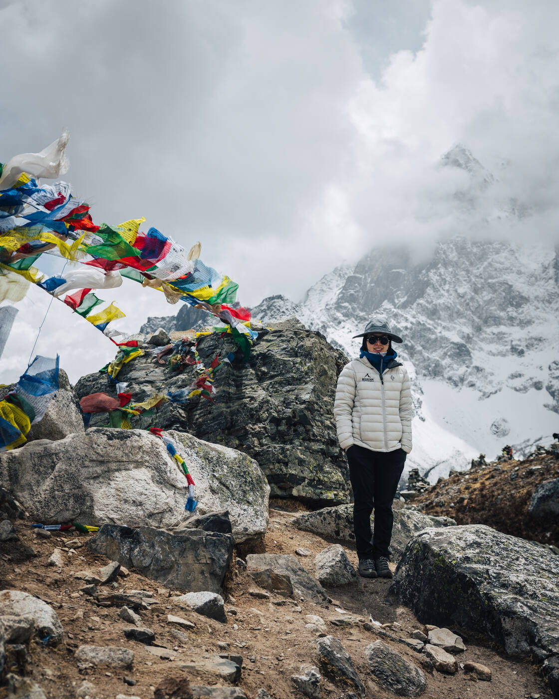
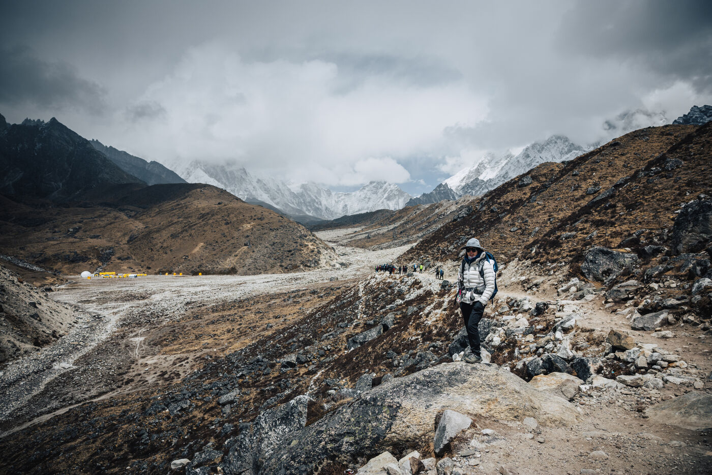
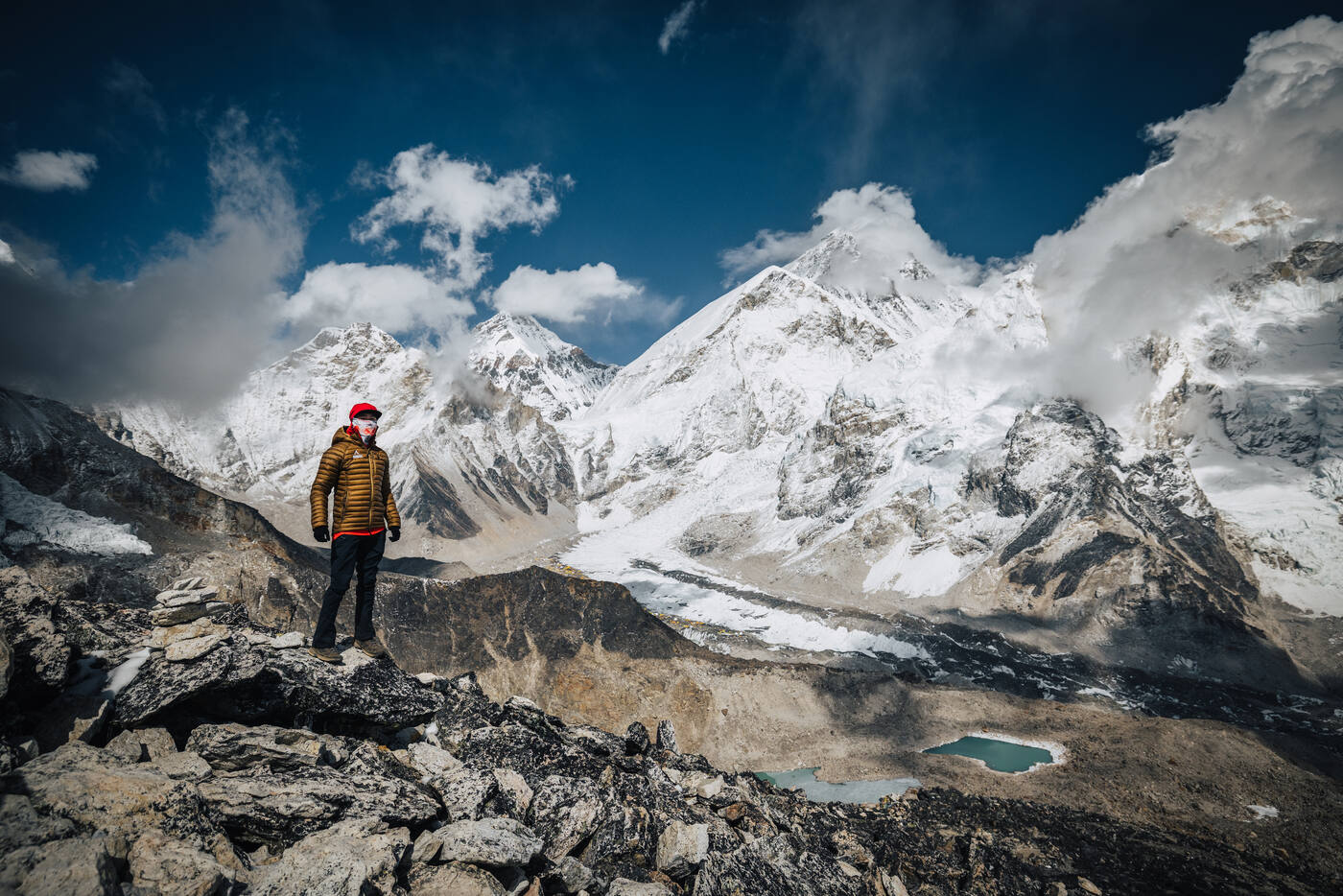
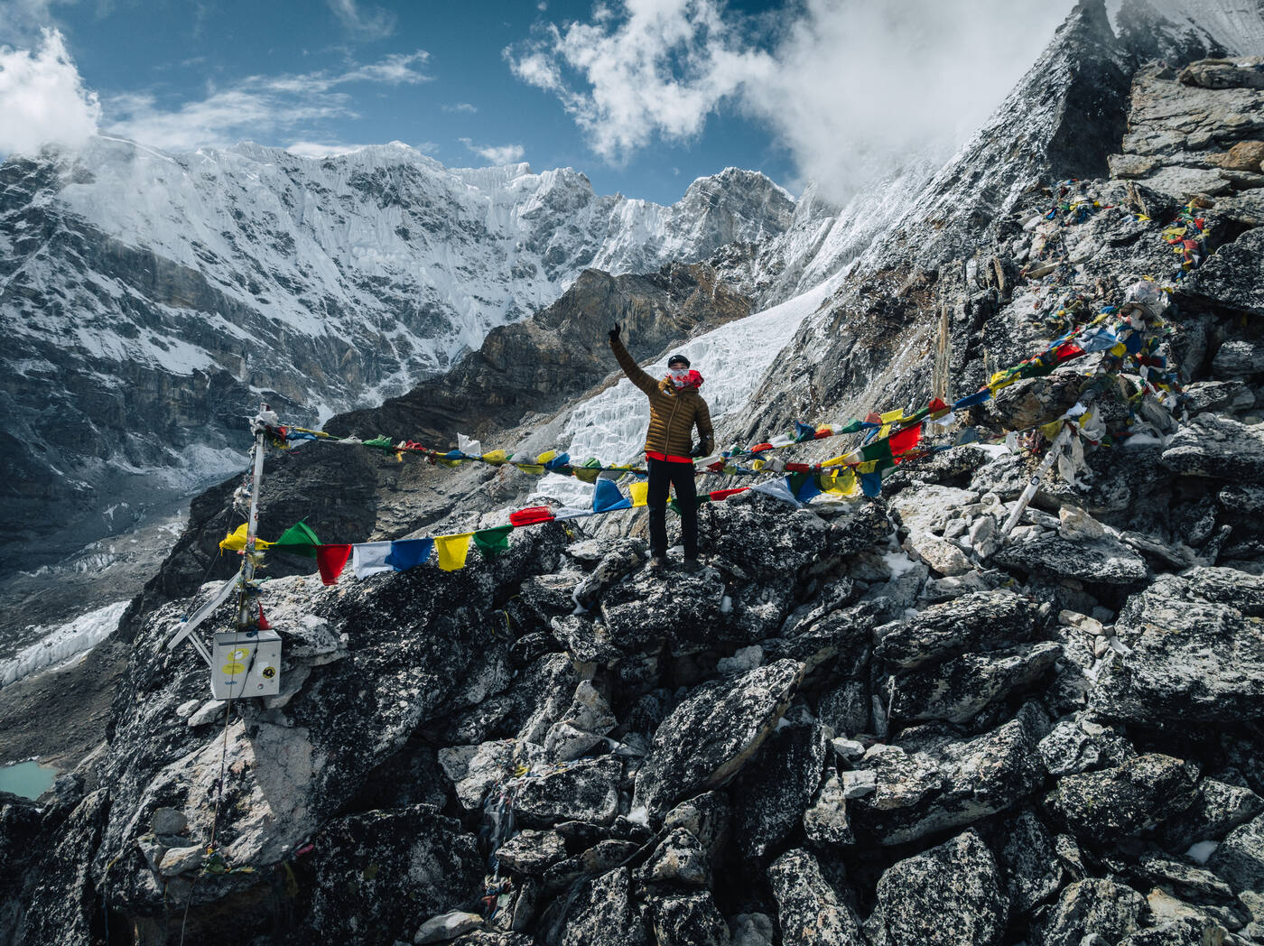
Between Lobuche and Gorak Shep. The terrain turns to moraine and the sky fills with peaks on every side.The rocky ridge below the Kala Patthar summit. Every step takes deliberate effort at 5,500 meters.The Kala Patthar view that sells the trek. Everest's summit pyramid peeks just above Nuptse's shadowed wall.Kala Patthar summit at 5,545 meters. Prayer flags snap in the wind — a reward for every labored breath on the climb up.
Day 10
Everest Base Camp and Trekker's Rock
Gorak Shep 5,150m · Everest Base Camp 5,364m
This was the day. After nine days of trekking through the Khumbu Valley, ascending from the green hills of Lukla through rhododendron forests, past ancient monasteries, across glacial moraines, and up into the thin air above 5,000 meters, we finally walked the last stretch from Gorak Shep to Everest Base Camp.
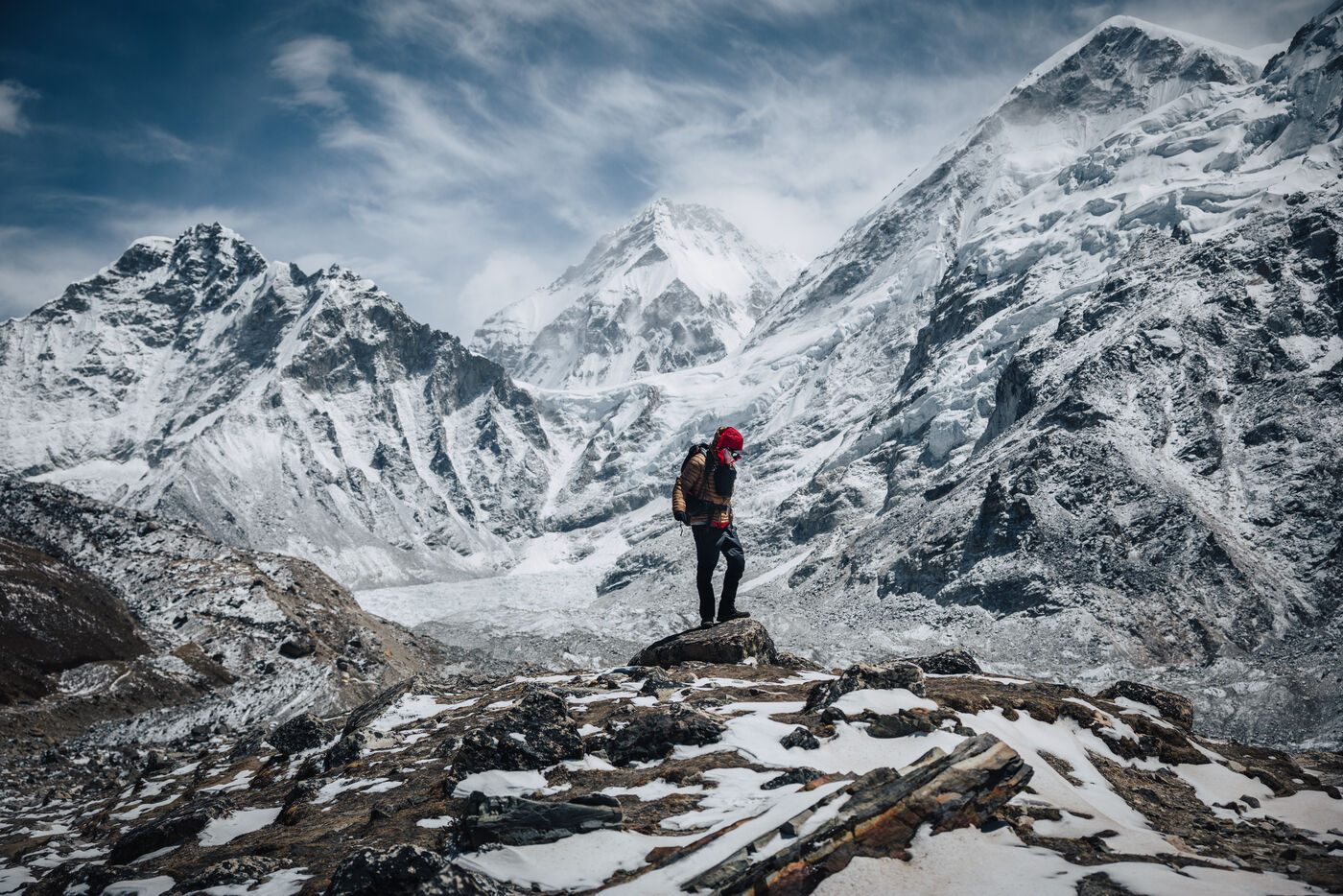
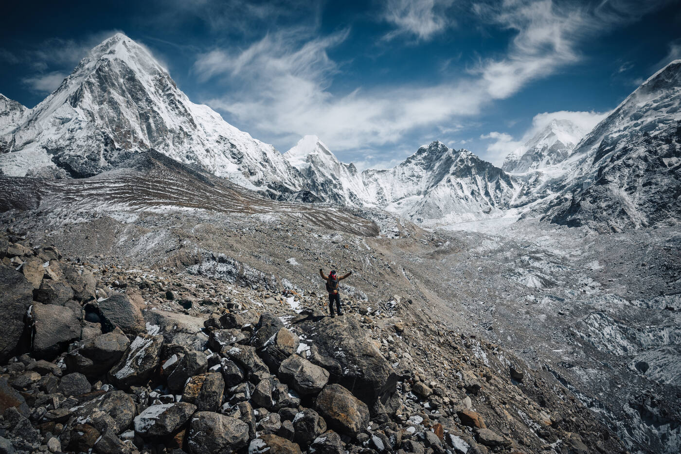
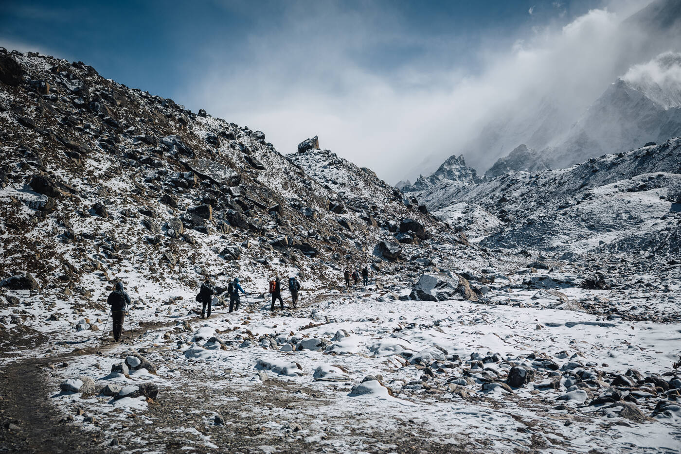
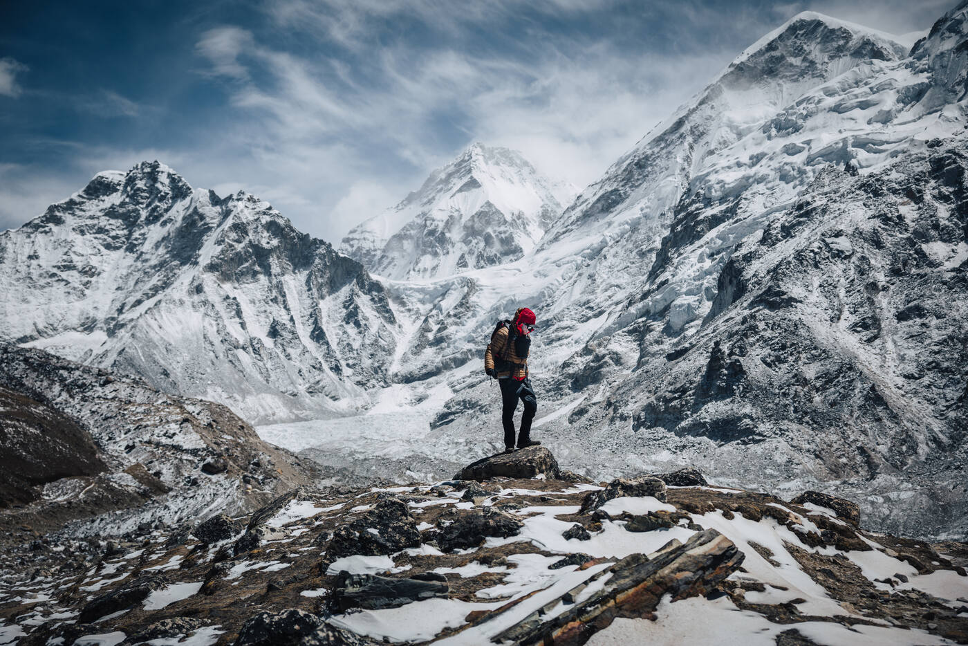
The trail from Gorak Shep to Base Camp follows the lateral moraine of the Khumbu Glacier. It's a rocky, undulating path that constantly plays tricks with your sense of distance. You can see the prayer flags of Base Camp in the distance, but they never seem to get closer. At this altitude, every step requires deliberate effort. The air holds roughly half the oxygen of sea level, and your body reminds you of this fact with every breath.
The end of the trek, the beginning of the climb. Seven years of summits have led to this moment.
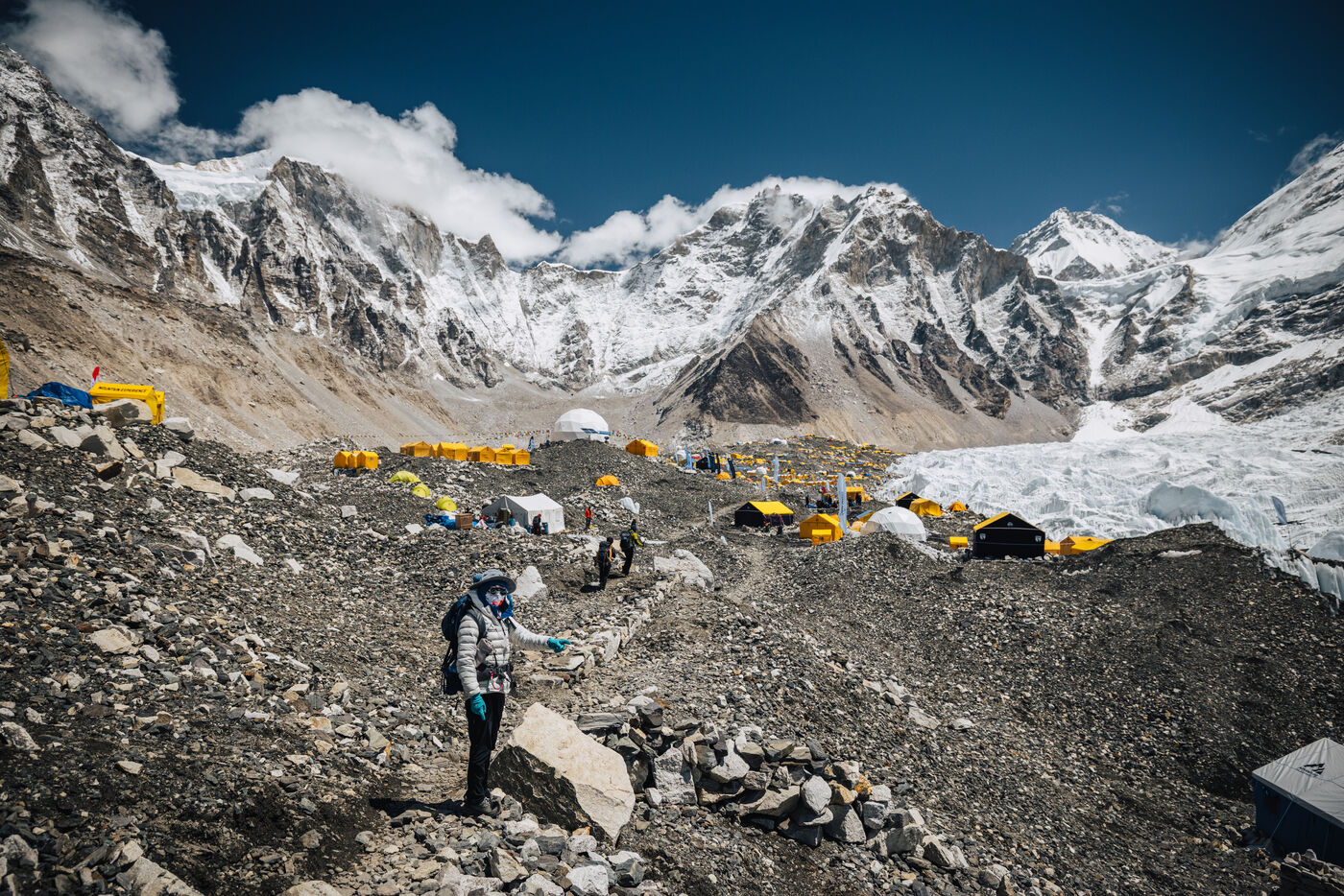
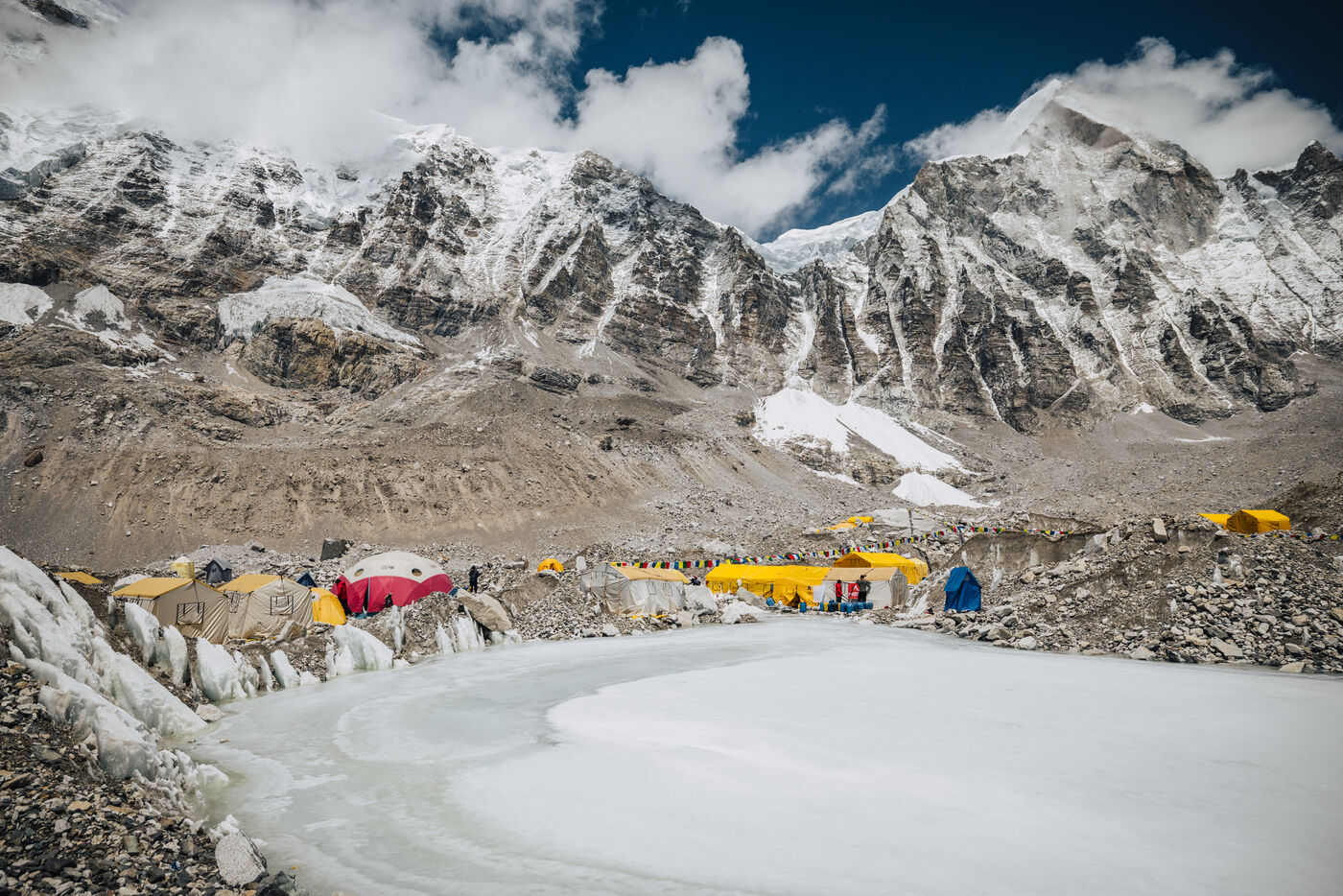
And then, after what felt like both an eternity and no time at all, we were there. The sprawl of colorful tents appeared through the rocks, and we could hear the deep groaning and cracking of the Khumbu Icefall in the distance. Base Camp is not a single point on a map. It's a small city of expedition tents spread across the glacier, each team staking out their territory for the weeks ahead. With 468 foreign climbing permits issued this year, the scale of the operation is staggering.
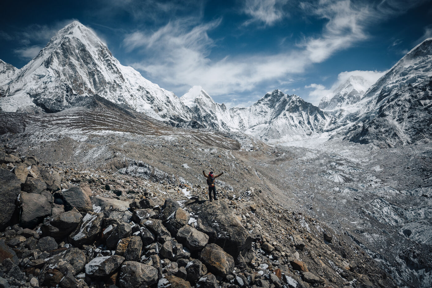
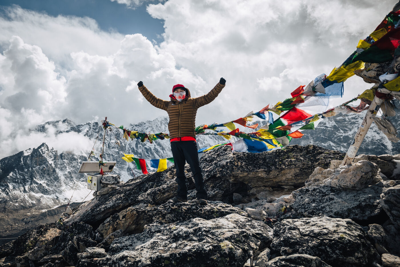
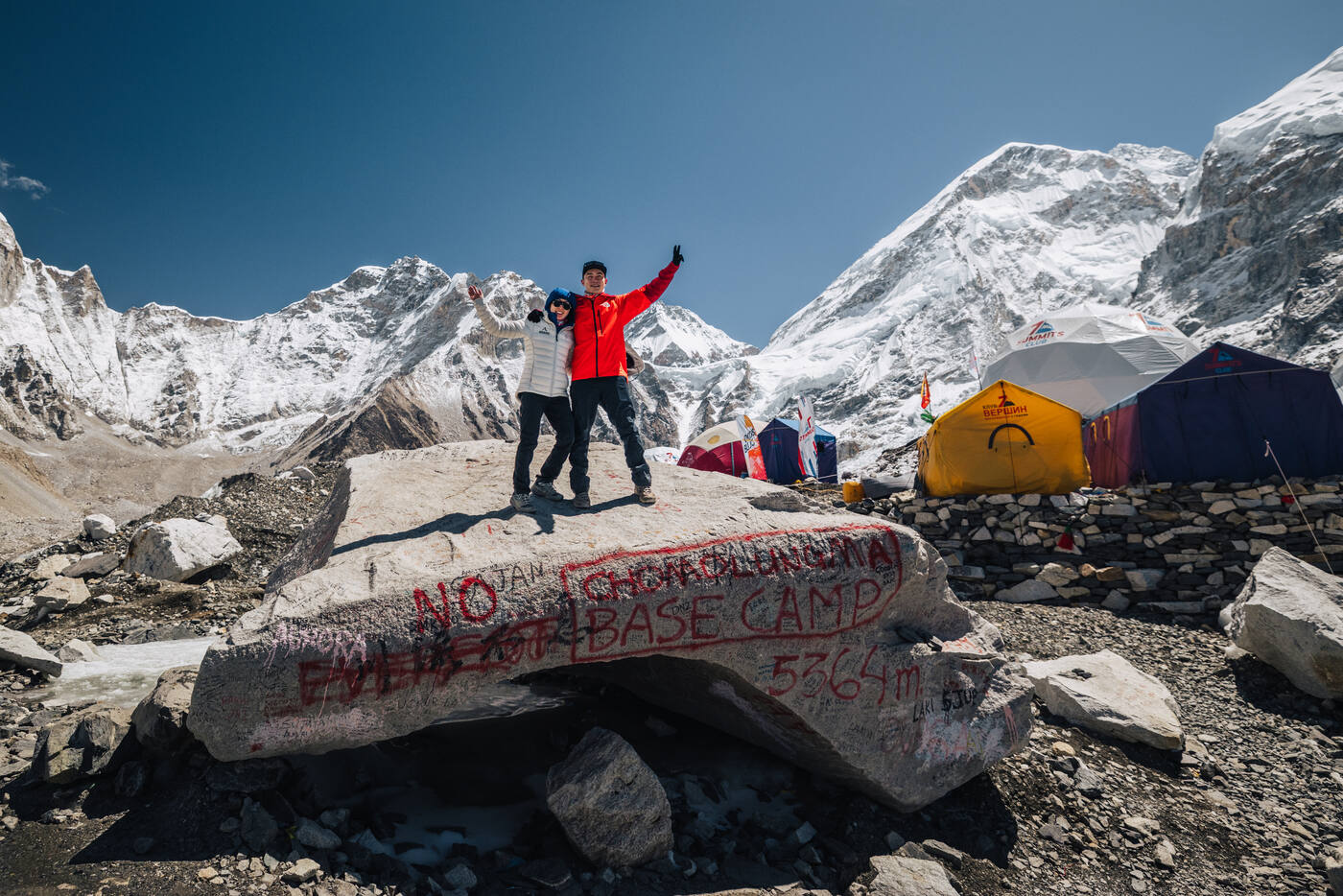
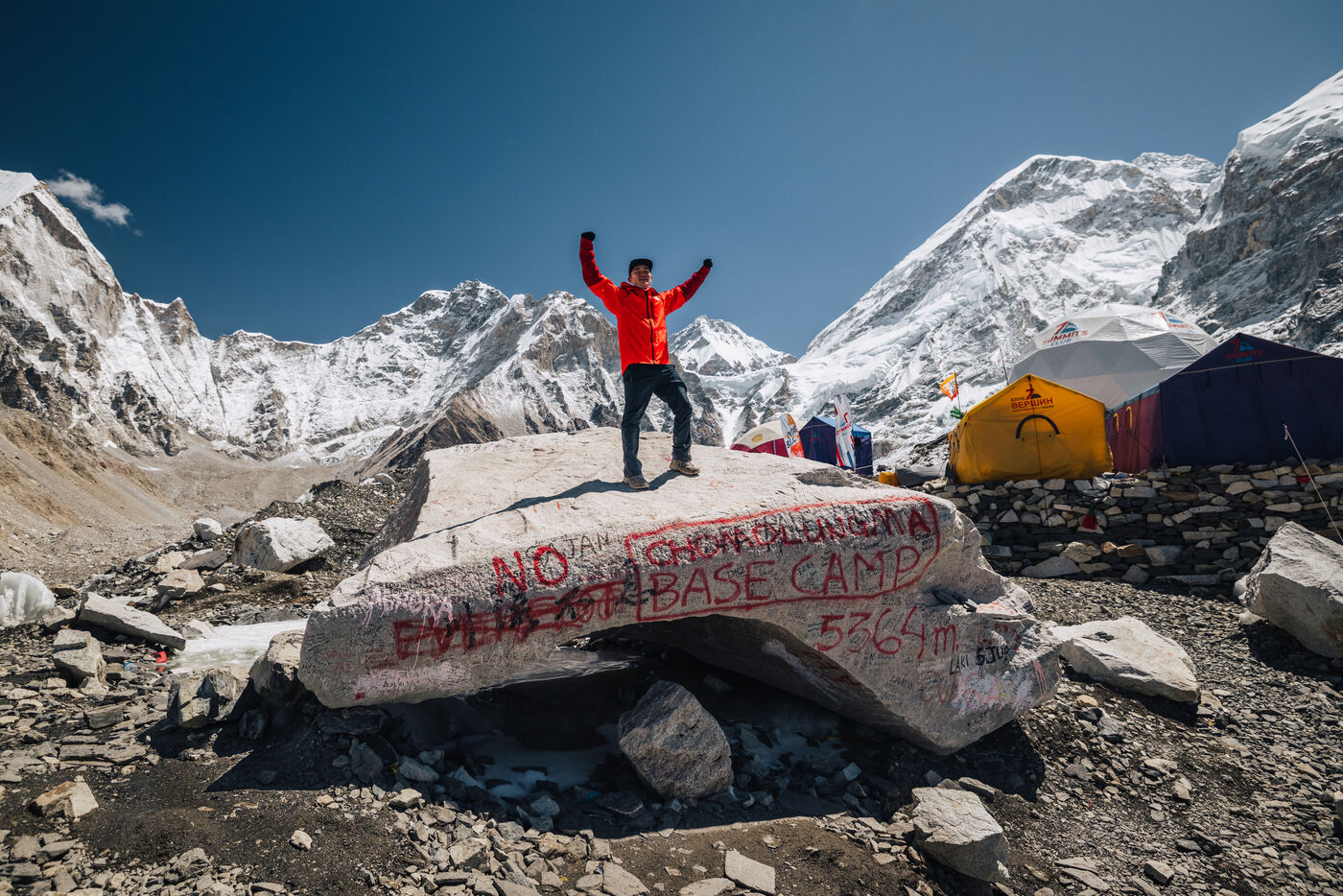
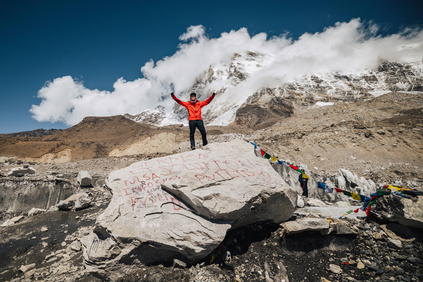
Arms up at Trekker's Rock, the traditional marker for Everest Base Camp.
We made our way to Trekker's Rock, the iconic boulder at the edge of Base Camp spray-painted with the words "Everest Base Camp." For trekkers, this is the finish line. For climbers, it's the starting line. Standing on that rock together, with the Khumbu Icefall towering above and Nuptse's massive wall filling the sky, the weight of the moment hit us. Seven years earlier, we had spotted Kilimanjaro from a safari lodge and made a promise to each other. Every summit since then has led to this place. This rock. This moment.
The final approach to Base Camp along the Khumbu Glacier moraine. The tents grow closer with every step.
For most trekkers, reaching this rock means turning around. The trek is complete. But for us, this was not an ending. In the weeks ahead, we would walk through the Khumbu Icefall in the dark, push through the Western Cwm, climb the Lhotse Face, and attempt the summit. The trek was the prologue. The mountain was the story. And it was just beginning.
The trek is done. The climb begins. From this point forward, Everest Base Camp becomes home for the next 35 days as we prepare for the summit push through the most dangerous terrain on Earth.
Base Camp sprawls across the Khumbu Glacier at the foot of Pumori. A small city at the edge of the icefall.
The Story Continues
Everest: Summit of the World
From Base Camp through the Khumbu Icefall, the Western Cwm, the Lhotse Face, and the Death Zone to the summit at 8,849 meters. The full account of our 35-day climb.