Carstensz Pyramid: The Most Technical of the Seven Summits
Vertical walls, exposed traverses, and the Tyrolean Traverse. 4,884 meters on the most technical of the Seven Summits.
Elevation
4,884 m / 16,024 ft
Location
Sudirman Range, West Papua
Summit Date
October 2024
Route
Normal Route (Harrer)
Also Known As
Puncak Jaya
Continent
Oceania (Australasia)
After five years of waiting, we finally stood at the base of Carstensz Pyramid. The mountain (also known as Puncak Jaya) had been out of reach since 2019, when escalating tensions in West Papua led to its closure. Disputes between local communities and mining operations had sealed off this corner of the climbing world entirely. We had planned to climb it in early 2020, but civil unrest made the region too dangerous. Then came the pandemic, and Carstensz slipped further into the distance.
In 2024, a one-month window for permits opened up. When we got word, we didn't hesitate. After Kilimanjaro, Aconcagua, Elbrus, Vinson, and Denali, this was summit number six, and we'd already been waiting long enough.
Carstensz Pyramid sits at 4,884 meters (16,024 feet) in the Sudirman Range of West Papua, Indonesia. The elevation isn't what makes it formidable. The technical climbing is. No other peak on the Seven Summits list demands this much actual rock-climbing ability: vertical walls, exposed traverses, and moves that require real technique on ancient limestone.
Getting There: Jakarta to the Highlands
October 2024 · Jakarta → Timika → Base Camp · Helicopter approach
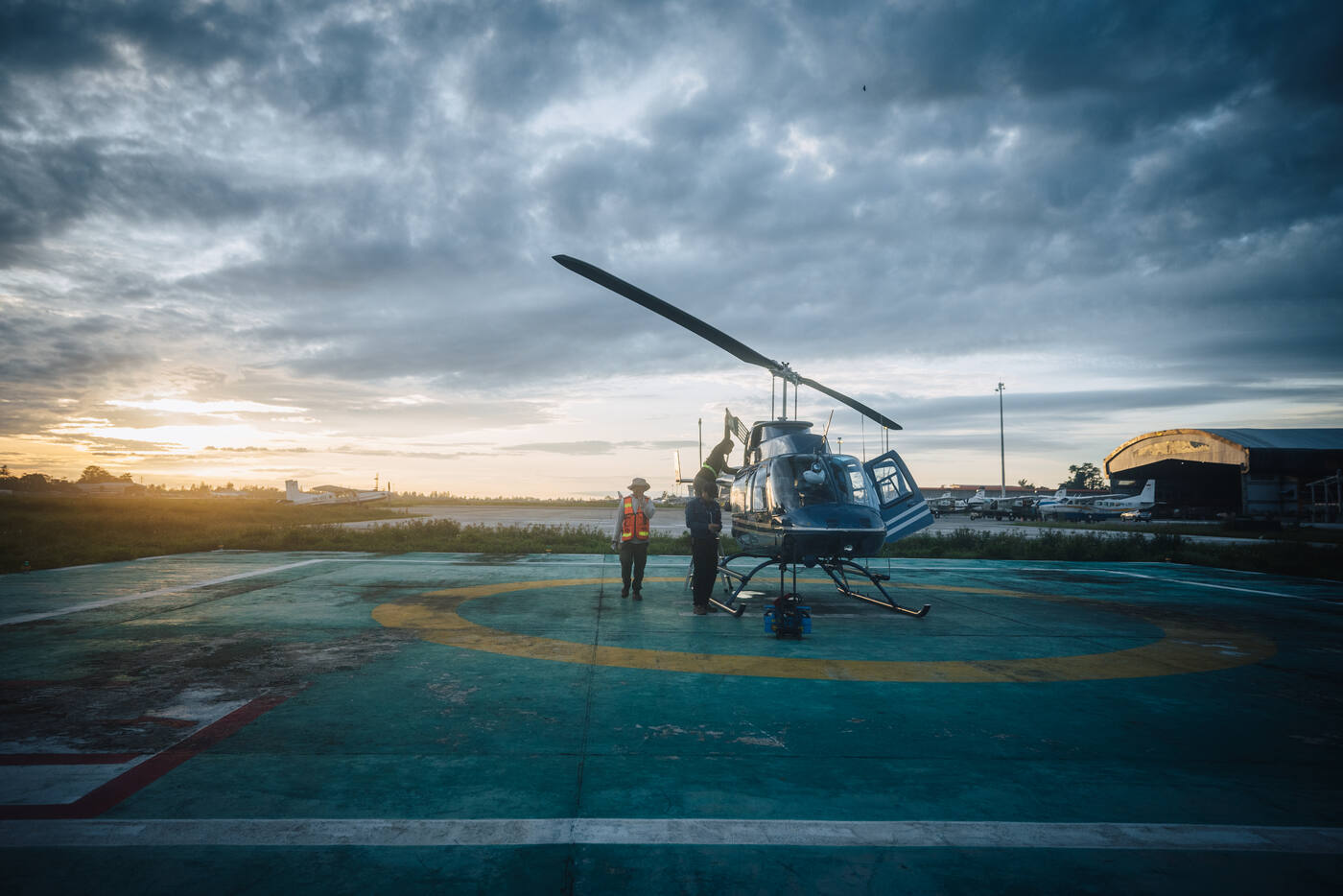
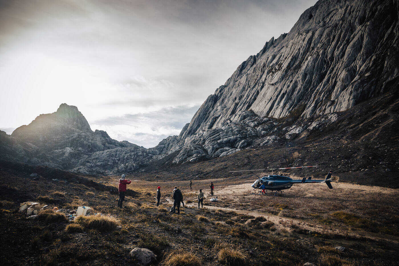
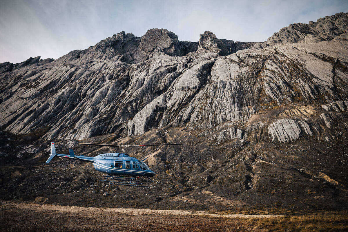
The helicopter that would carry us from Timika into the highlands of West Papua. Weather windows dictate everything here.
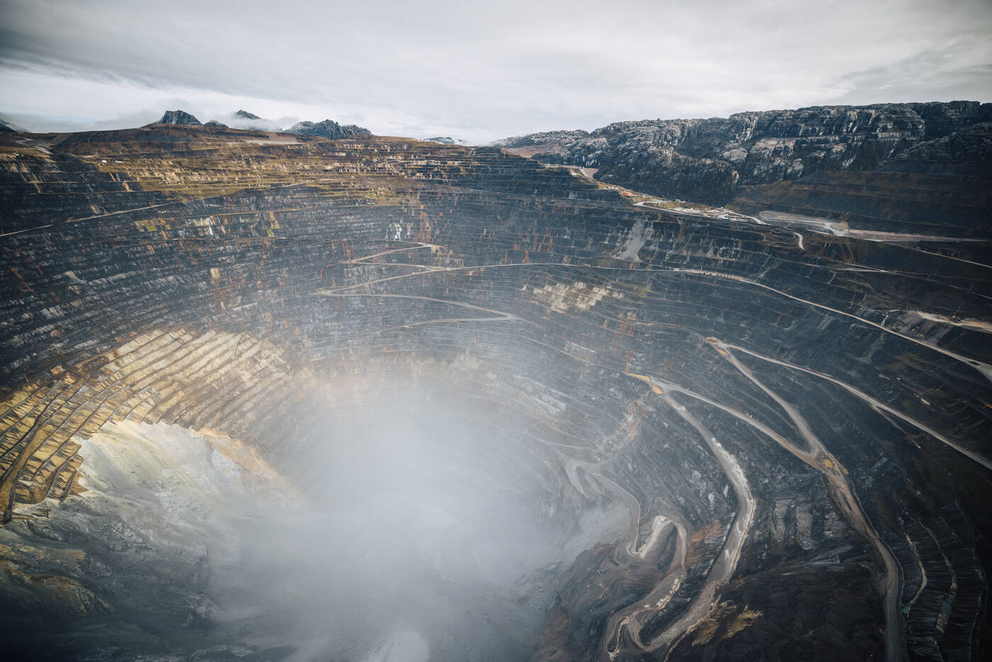
Our journey started in Jakarta, where we caught a flight to Timika, the gateway to West Papua's highlands. Timika exists mostly because of the nearby Grasberg mine, one of the largest gold and copper mines in the world, and it became our temporary home while we waited for a weather window. Helicopter logistics in this part of the world are complicated, and the weather is unpredictable. Every morning we'd wake up hoping for clear skies.
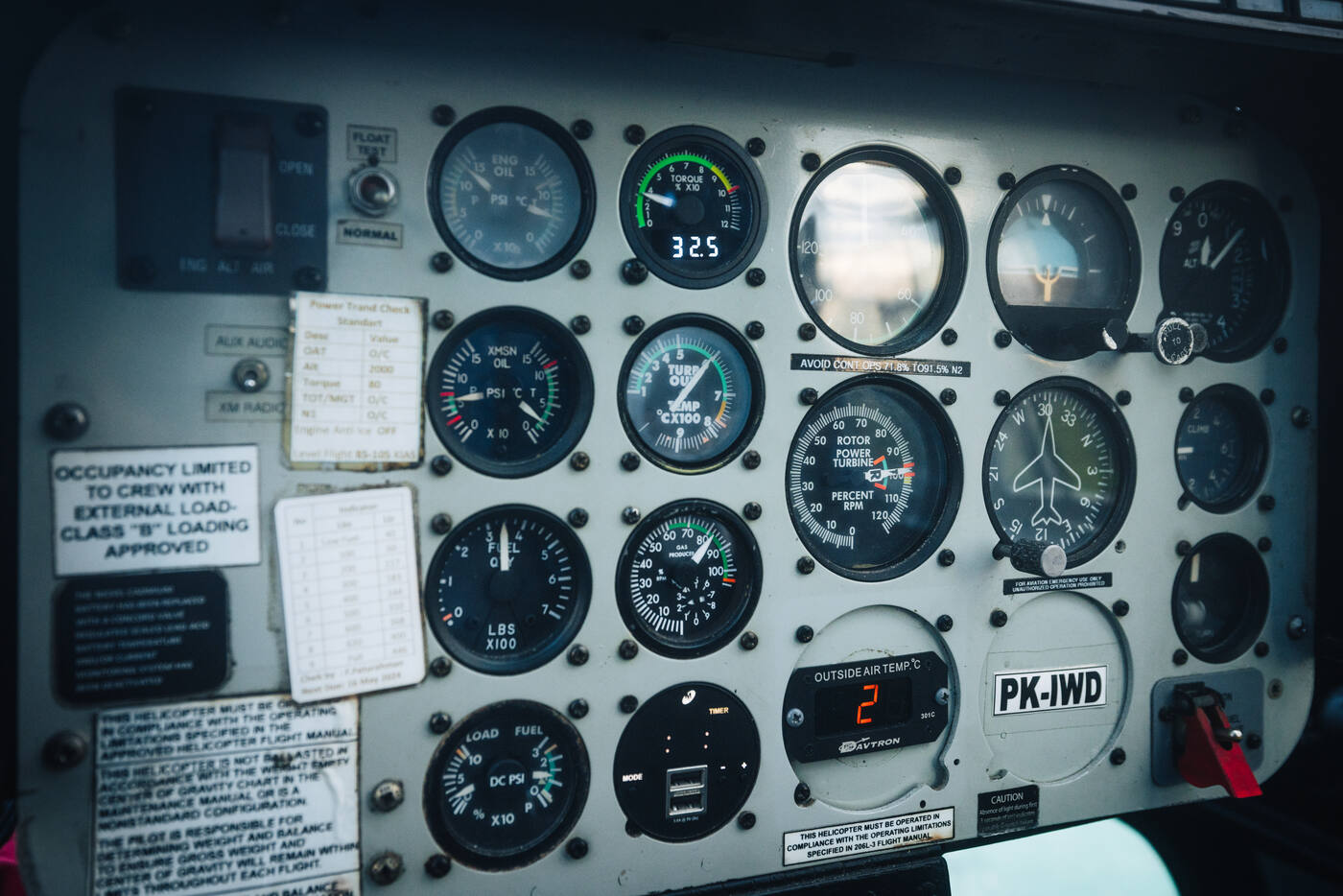
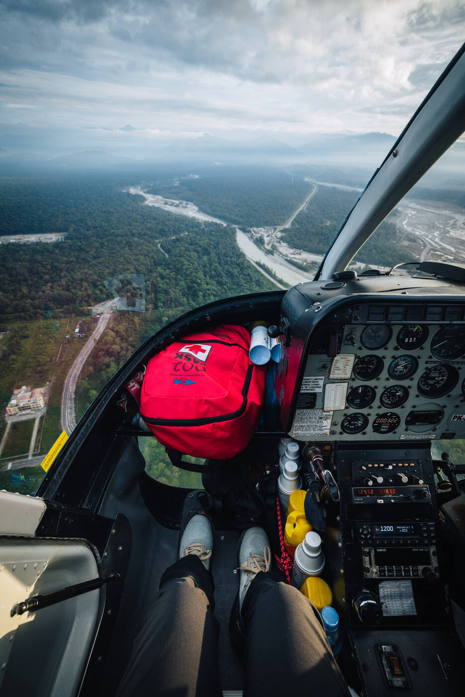
Inside the cockpit. A thirty-minute flight through millions of years of geological history.The view from the cockpit. West Papua's river valleys and lowlands falling away beneath us as we climbed toward the highlands.
Finally, the call came. Weather was clear, permits were in hand, and the helicopter was ready. As we lifted off from Timika, the landscape below changed fast. Dense jungle gave way to steep valleys and jagged peaks, all in a thirty-minute flight.
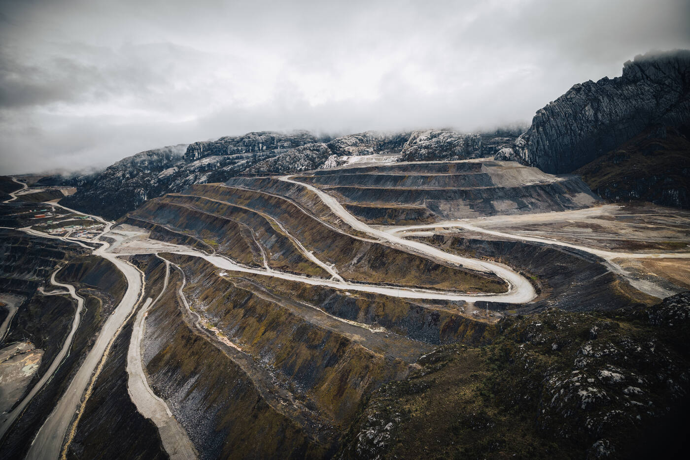
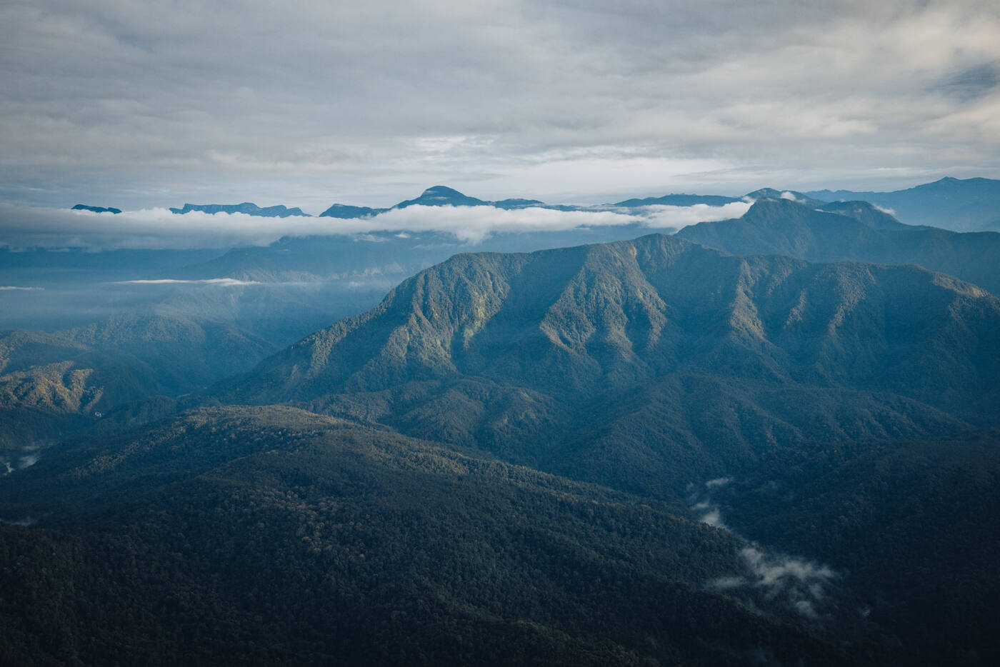
The Grasberg mine from the helicopter on the flight in. One of the largest gold and copper mines on Earth, carved into the same mountains we came to climb.The Sudirman Range emerging from the mist. Somewhere in those peaks, Carstensz Pyramid waited.Looking straight down into the Grasberg pit from the helicopter. Terraces and haul roads spiralling into the cloud.
Base Camp: 4,300 Meters
Carstensz Base Camp · 4,300 m / 14,107 ft · Sudirman Range
Camp life at 4,300 meters. Settling in beneath the limestone walls.Touching down at base camp. The helicopter drops you off and the mountain takes over.
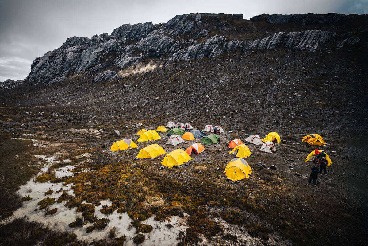
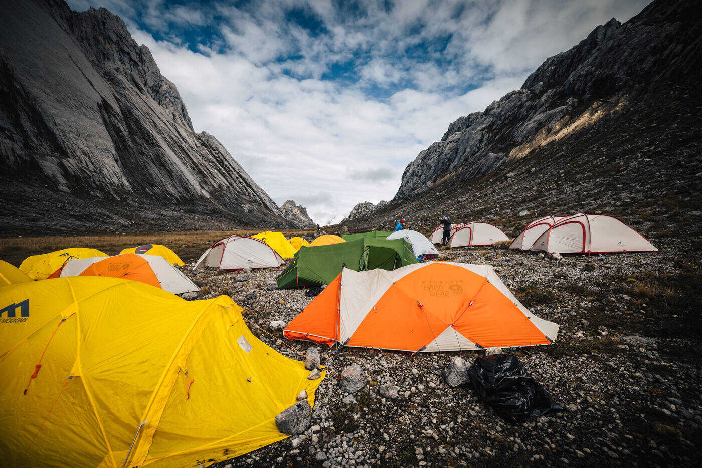
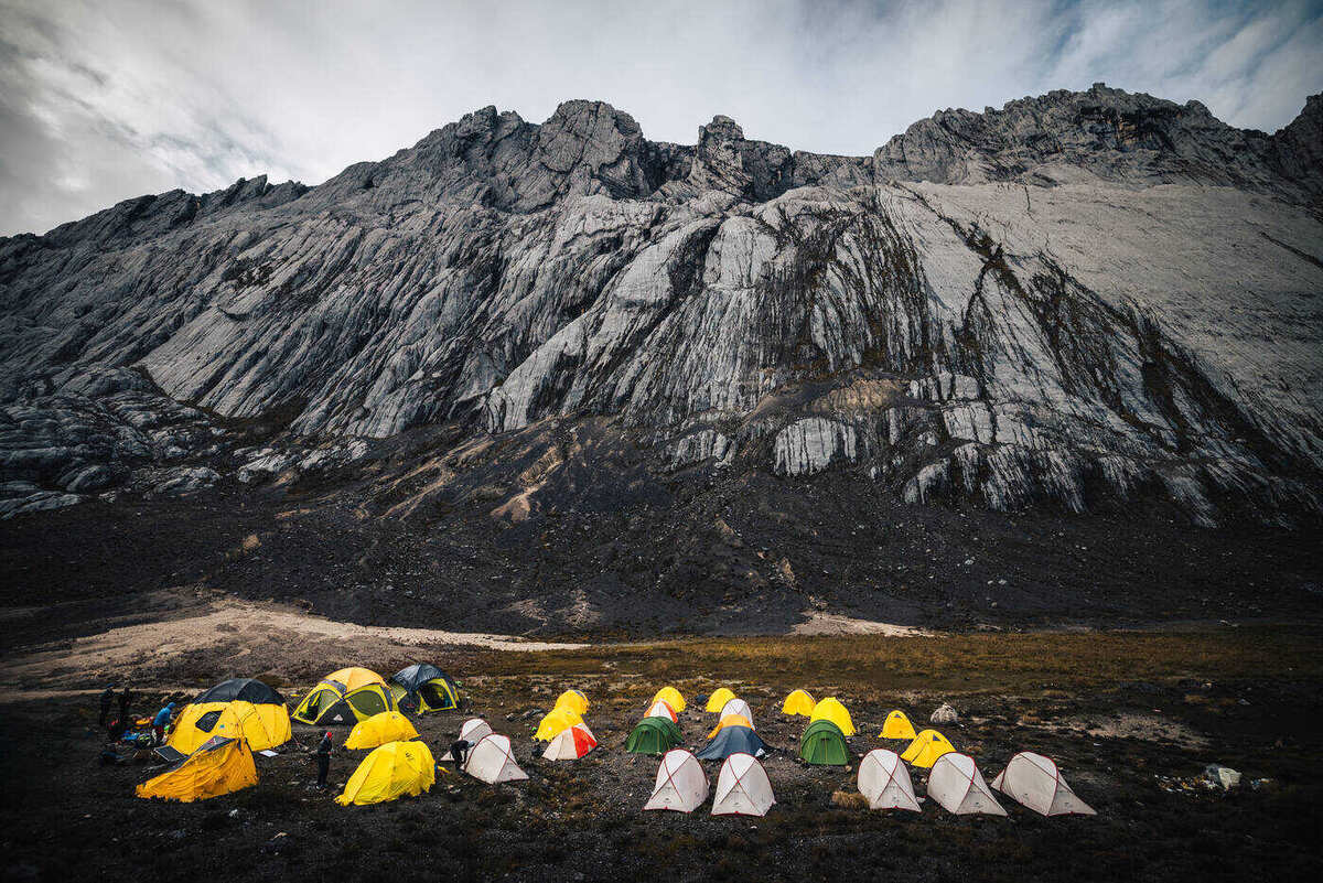
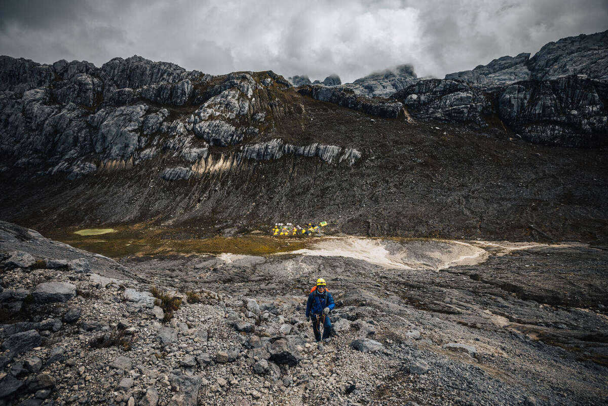
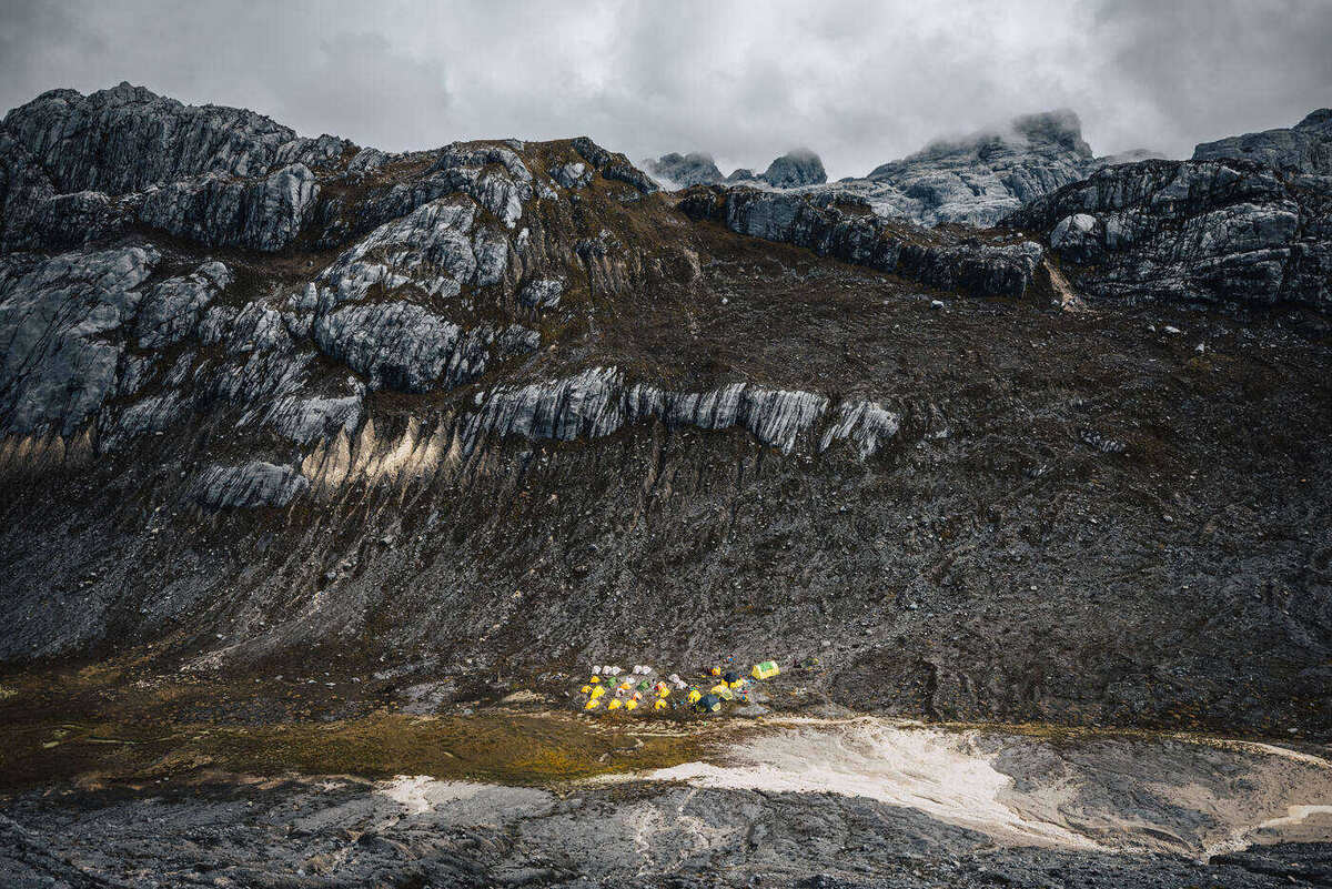
When we touched down at base camp, it hit us just how remote this place was. At 4,300 meters we were already higher than most peaks in Europe, and the sharp limestone spire of Carstensz still towered nearly 600 meters above. The setting was unlike anything we'd seen before: a high alpine valley with a glacial lake, ringed by steep, fluted walls of grey limestone.
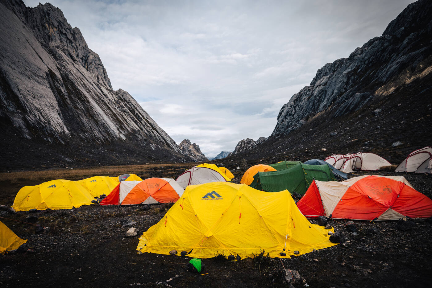
The full camp spread across the limestone scree. A temporary village at the edge of the climbing world.
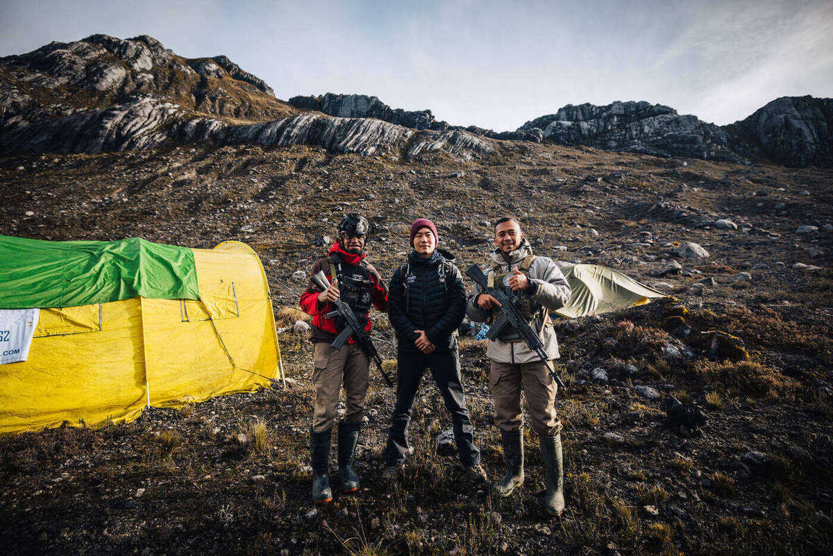
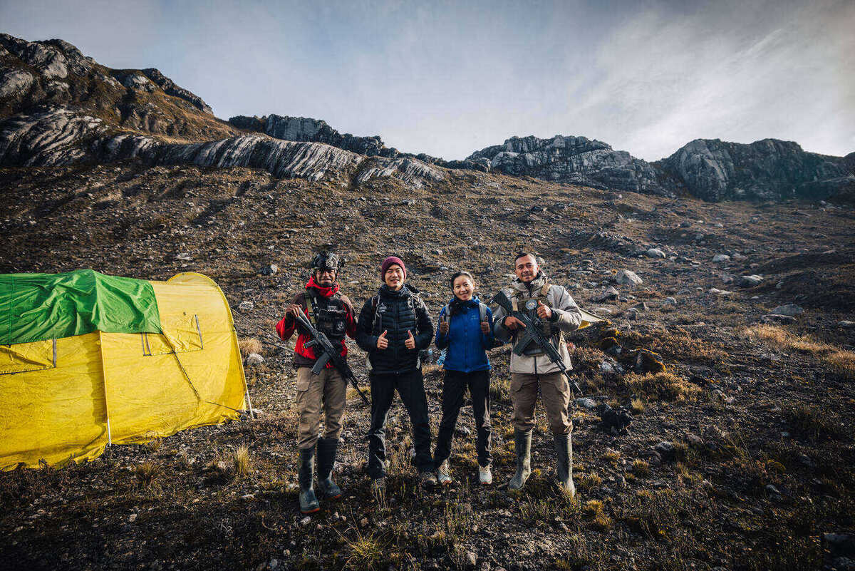
The team at camp. Rested and ready for what the mountain had in store.
Conventional wisdom says you take a rest day at 4,300 meters. Acclimatize, review rope techniques, get your head right. But sometimes the weather is perfect and you're feeling strong, and you just go. That's what we did. An hour after the helicopter dropped us off, we were already gearing up.
Team members at base camp. Headlamps charged, boots on, ready for whatever the mountain throws next.The helicopter dwarfed by the limestone walls. A reminder of just how small we are in this landscape.
The tents of base camp spread across the valley floor, dwarfed by the walls above.
The Climb: Vertical Limestone
Normal Route (Harrer Route) · 4,300 m → 4,884 m · Technical rock climbing
People say Carstensz is the most technical of the Seven Summits, and within the first hour of climbing, we understood why. There's no altitude slog here. It's rock climbing, full stop. The route goes from exposed ridges to near-vertical walls, and every section asks for something different.
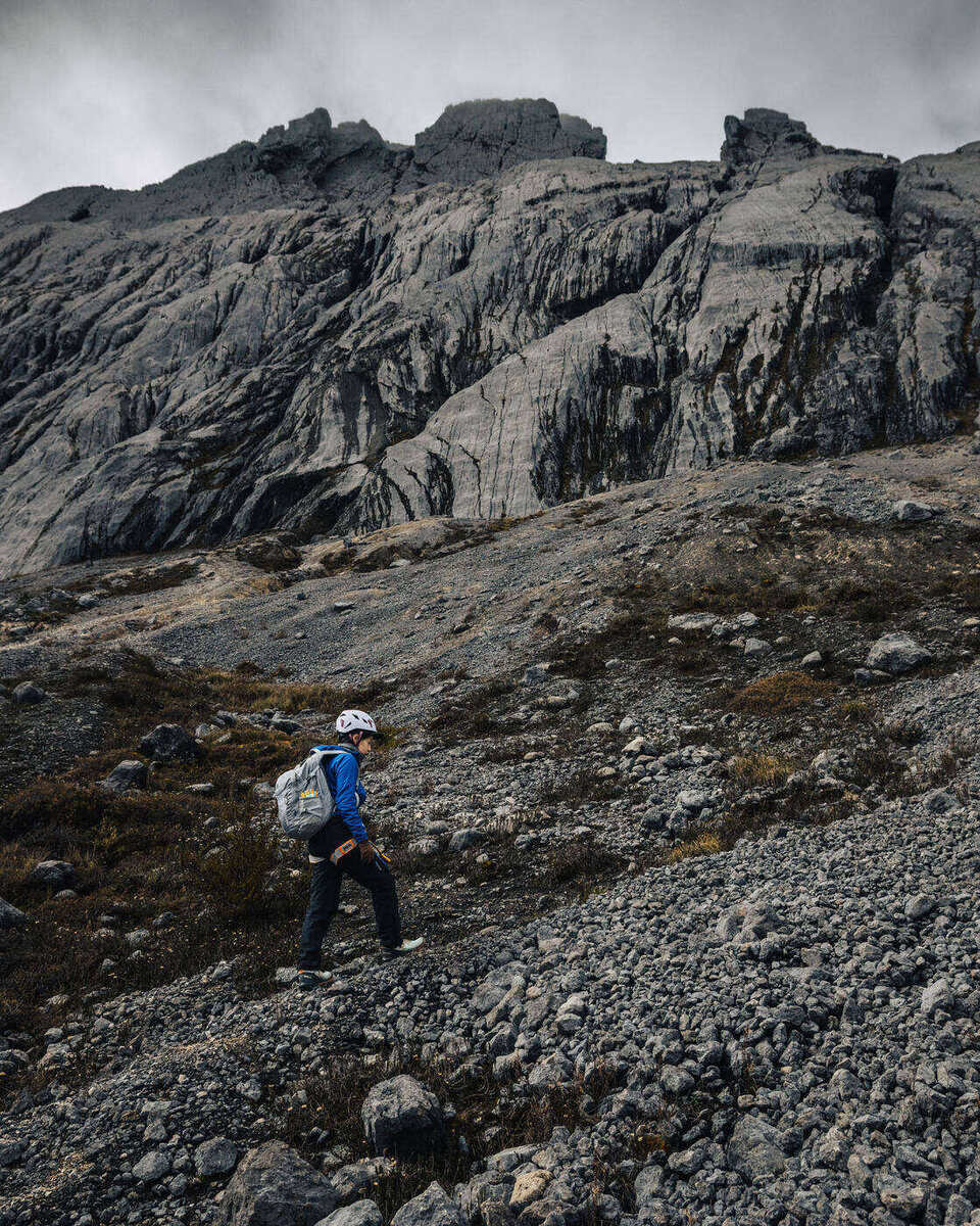
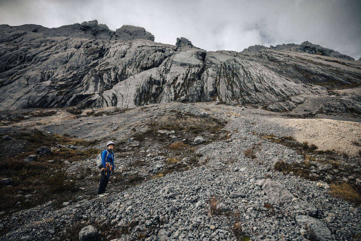
The approach to the climbing route. From here, the terrain turns vertical.
Crossing the plateau below the face. The isolation of this place is unlike anything else.Approaching the base of the wall. Helmet on, harness checked, mind focused.
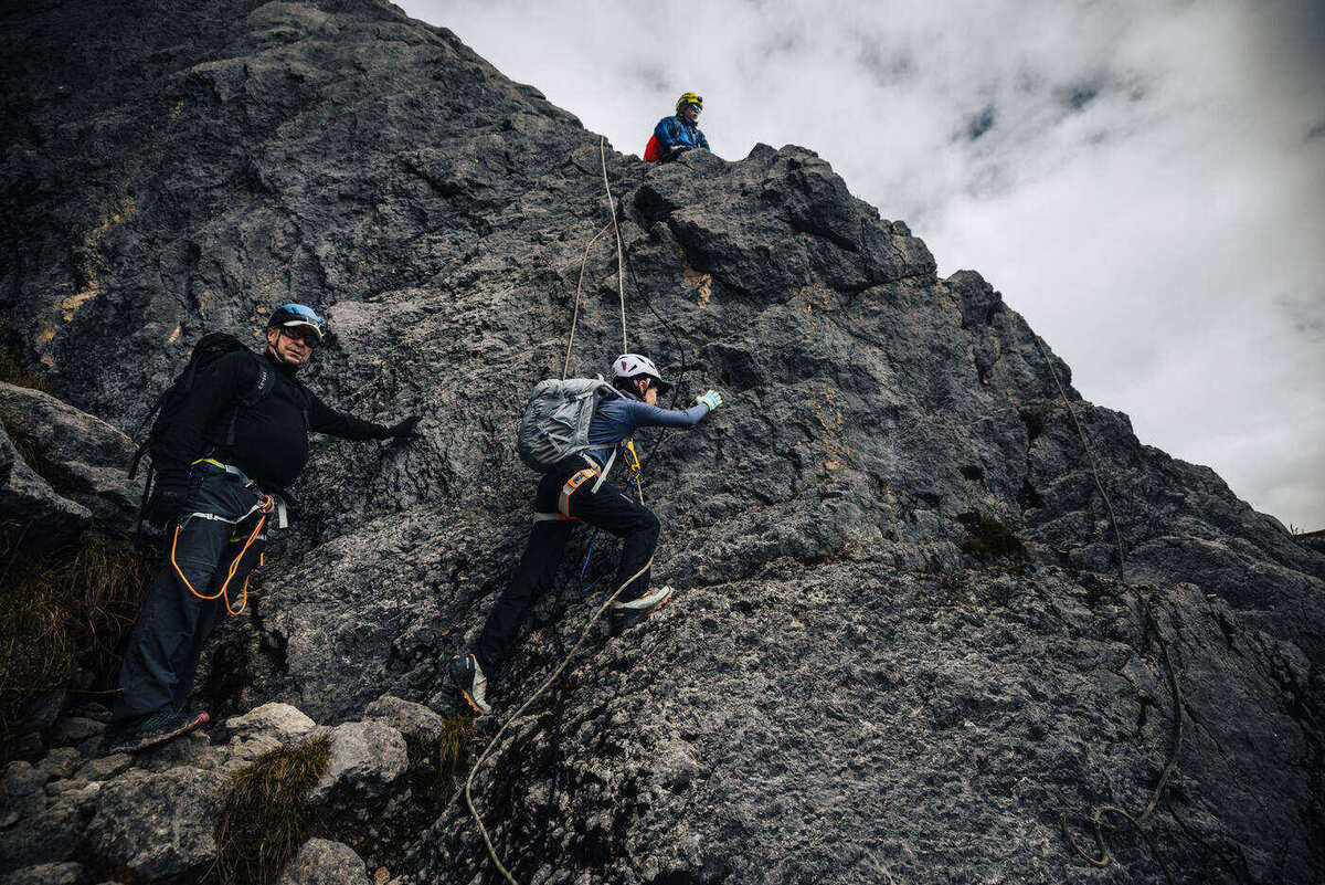
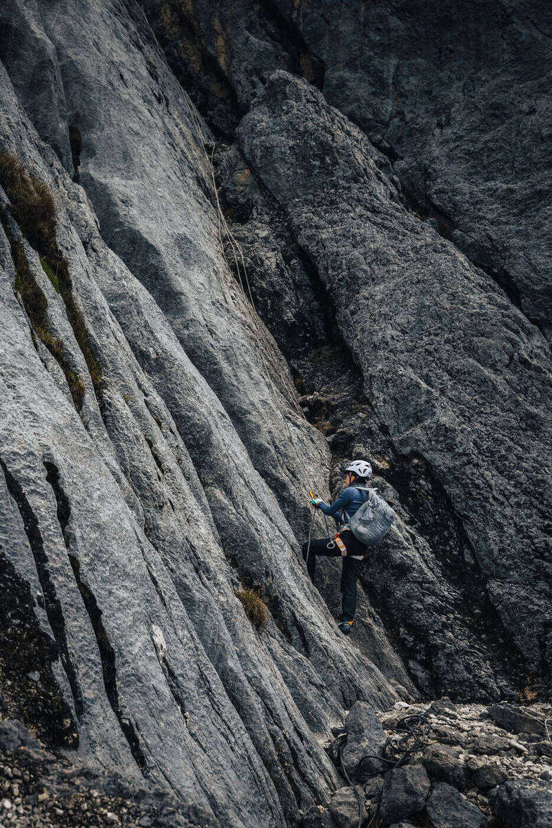
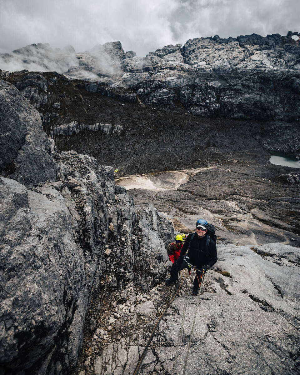
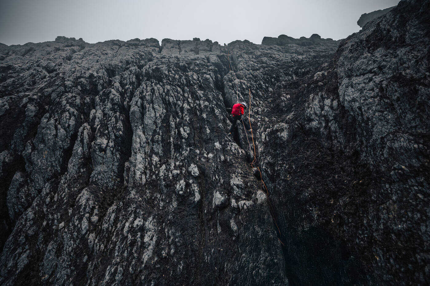
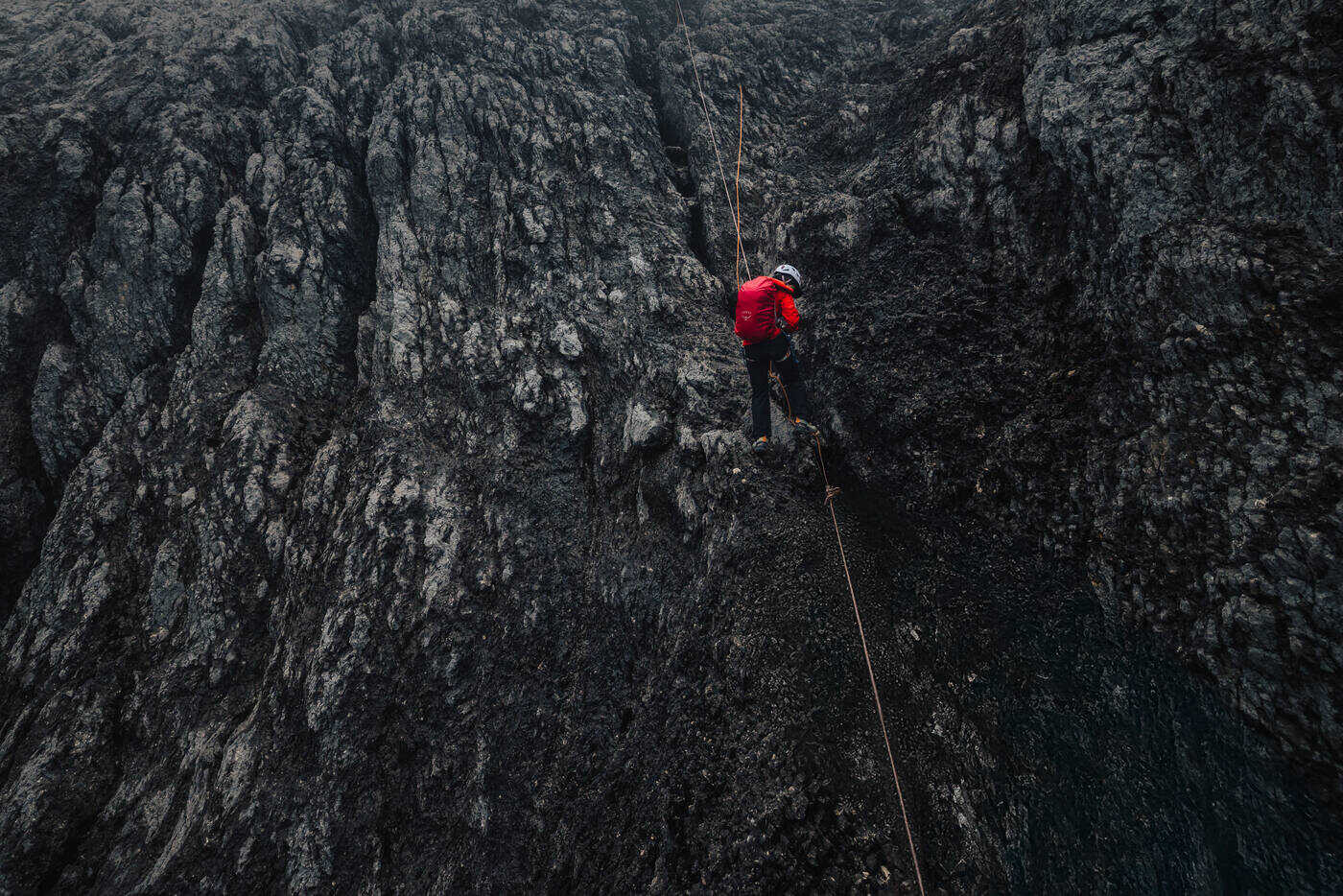
The verticality was what struck us most. Some sections go straight up at ninety degrees, and it feels like climbing a building. Your fingers search for holds on cold limestone while your feet test each placement carefully. Fixed ropes are there for security, but in a lot of sections, technique is what actually keeps you moving.
The team on the vertical section. Ninety-degree limestone, fixed ropes, and pure technique.
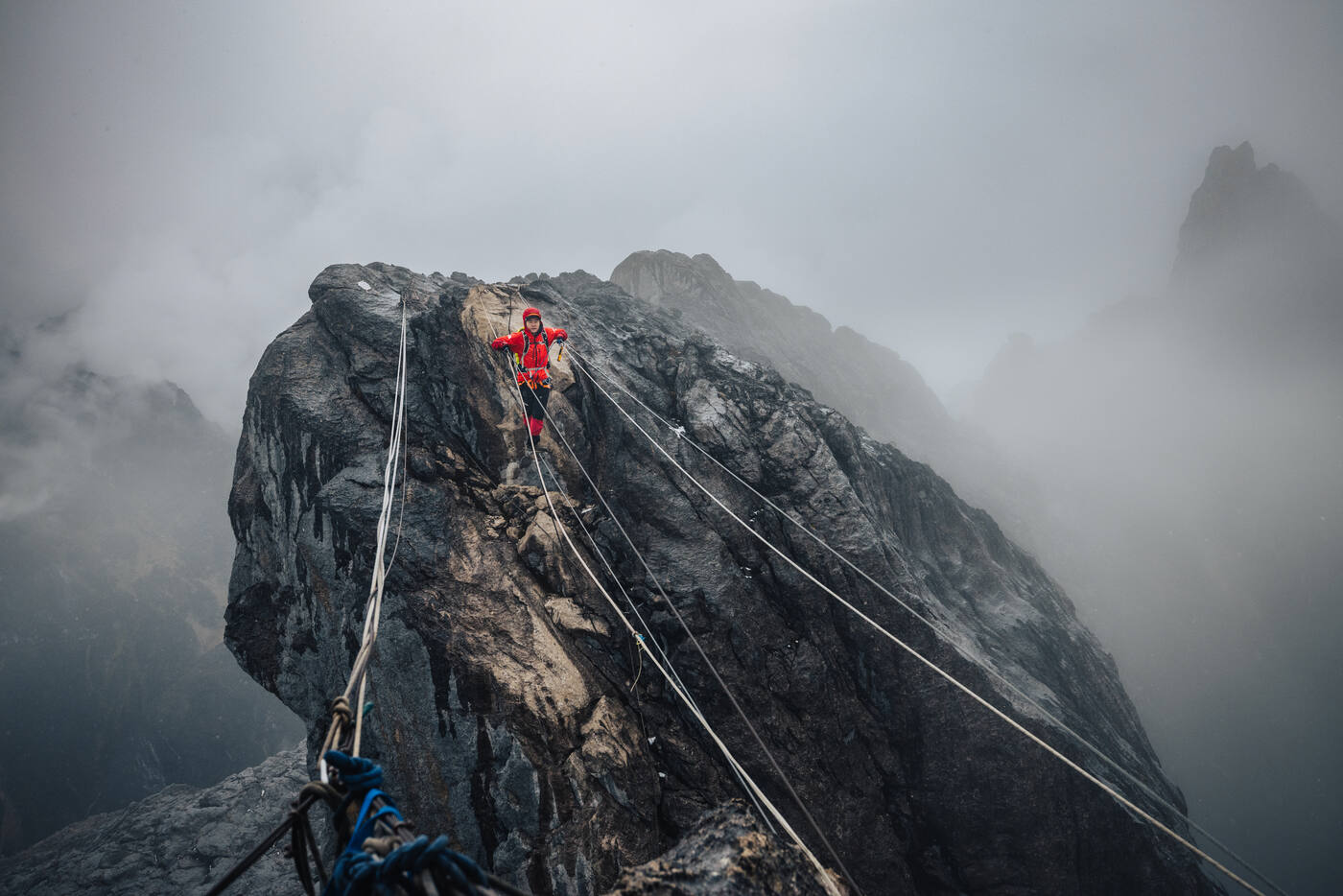
The rock face up close. Every hold matters on limestone this steep.Roped up on the exposed ridgeline. The valley far below on both sides.
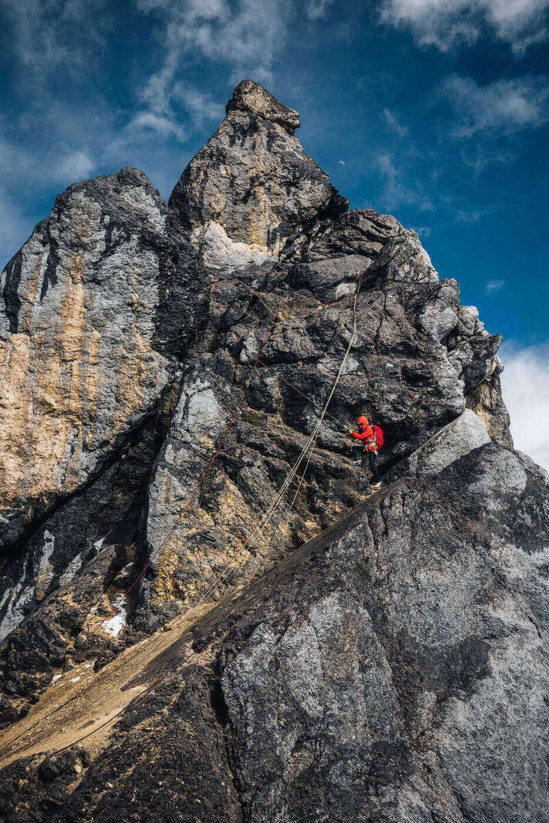
Vertical limestone against deep blue sky. The exposure on this route is constant and unforgiving.
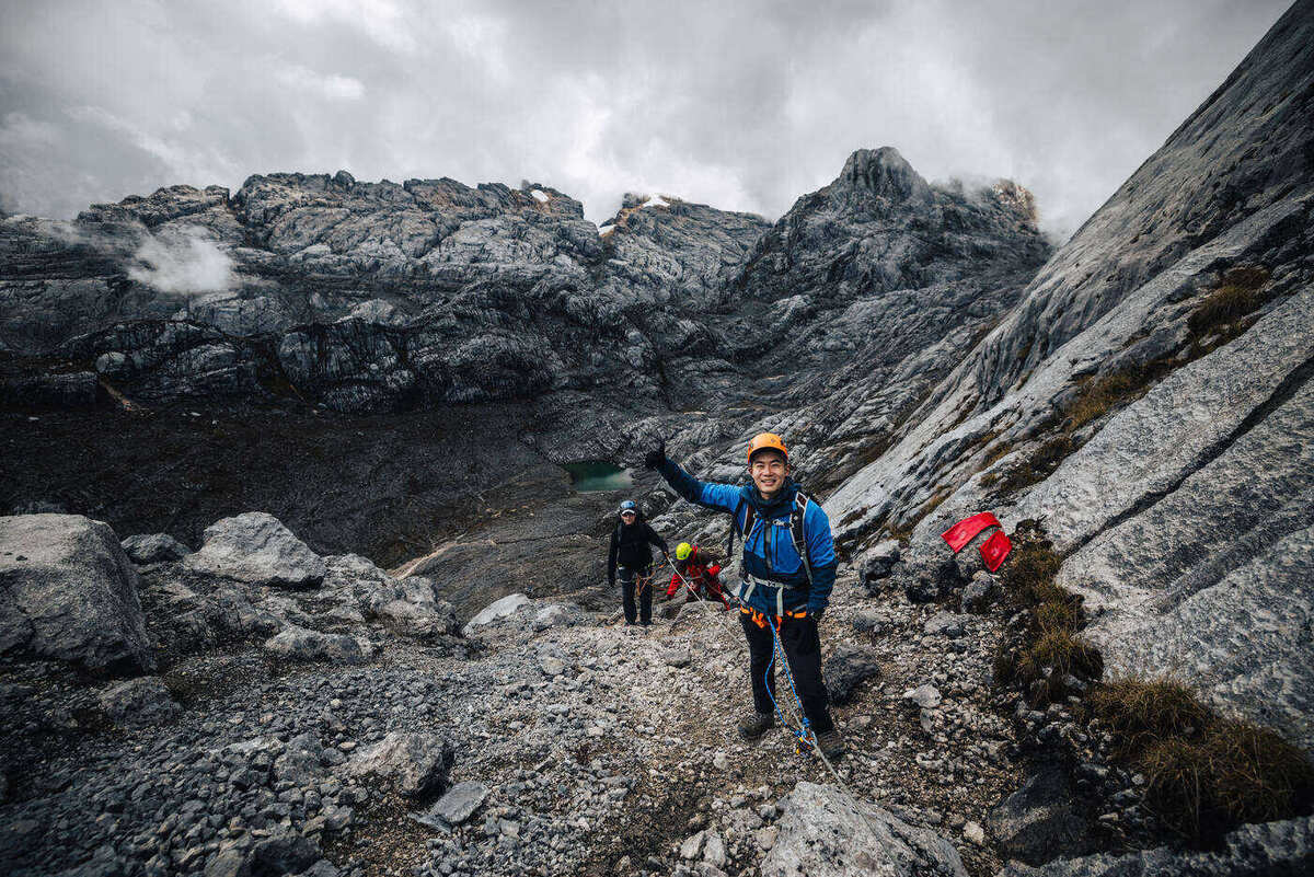
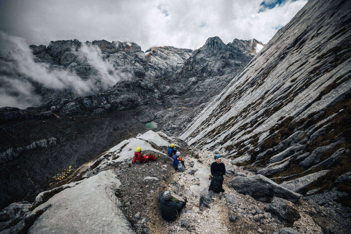
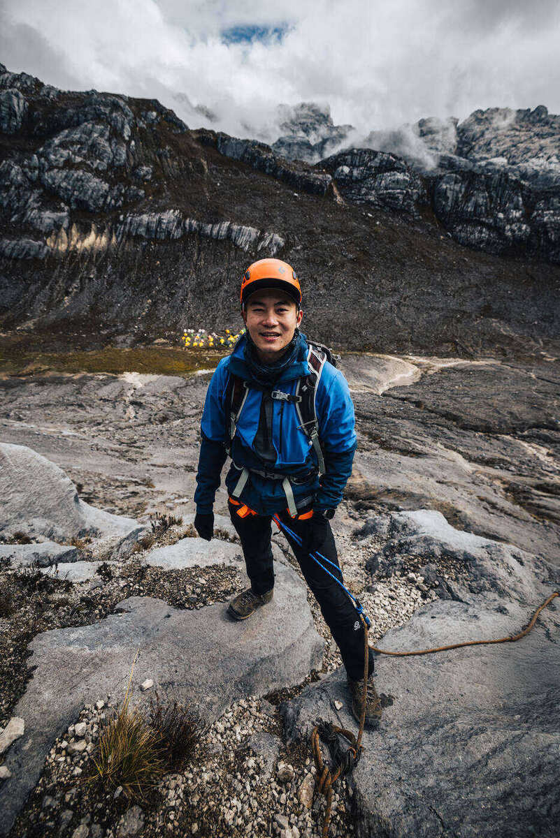
Working up the scree gully toward the wall. The team strung out along the approach, spirits still high.Traversing a wide rock shelf. Brief moments of relief between the vertical pitches.
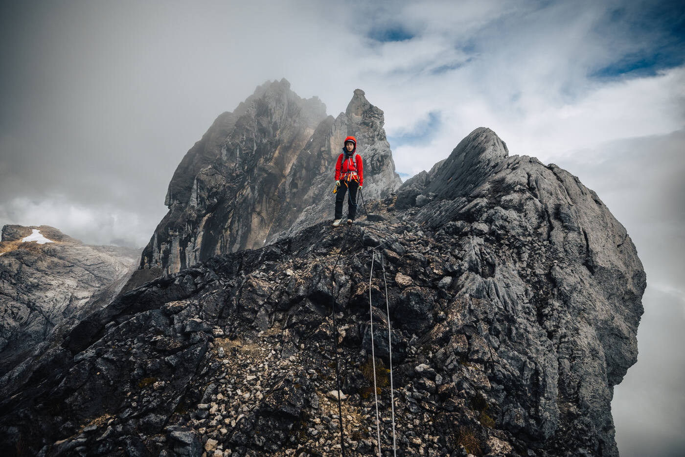
Higher up, base camp shrank to a speck and eventually disappeared into the Sudirman Range below. The air got thinner but our focus got sharper. Each pitch required total concentration: planning moves, managing rope systems, and trying not to think too hard about the drops on either side.
Higher on the route. The vast emptiness of West Papua's highlands stretching in every direction.
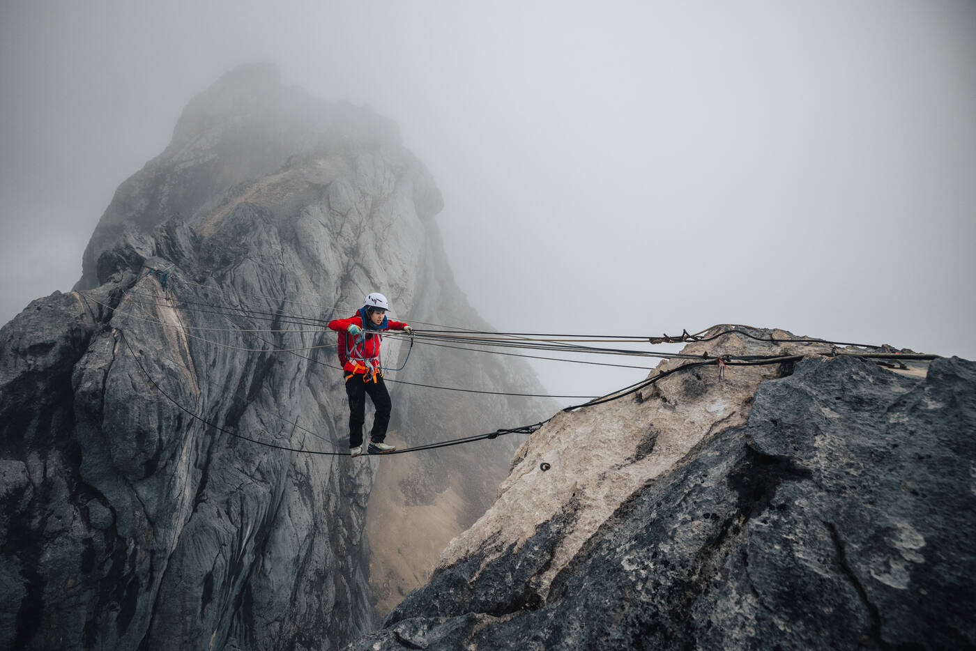
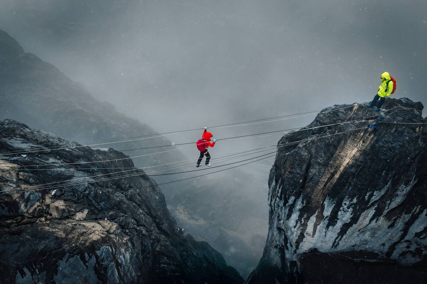
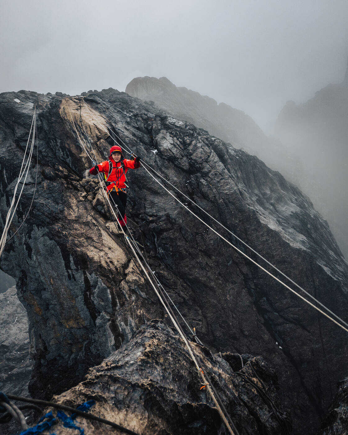
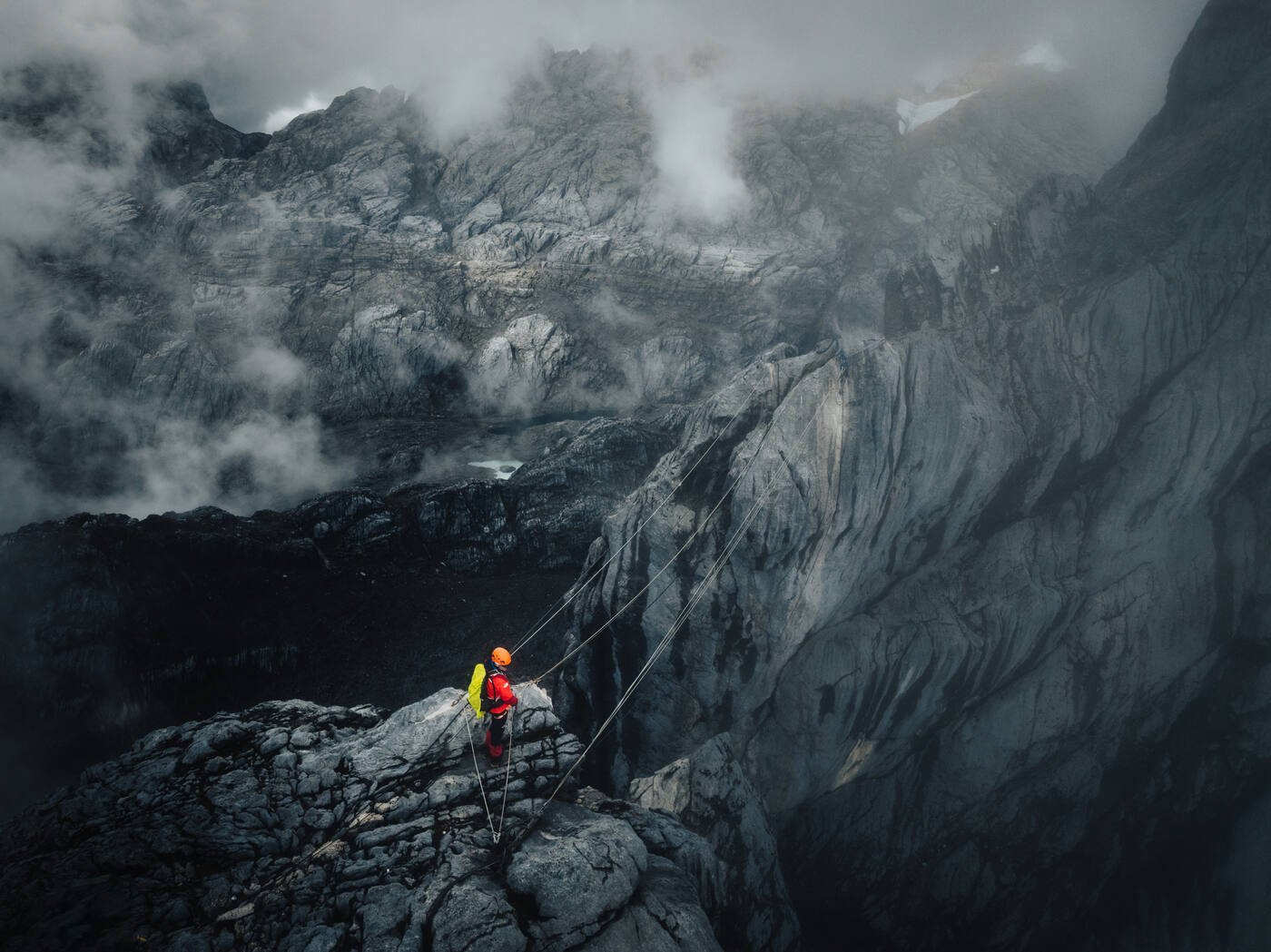
And then we reached the Tyrolean Traverse. There's a deep gap between two sections of the ridge, nothing but air below, and the only way across is a horizontal fixed rope. It's one of the most exposed traverses in mountaineering, suspended hundreds of meters above the rocks below. You clip in, lean back, and pull yourself hand over hand. That's it. That's the whole plan.
The Tyrolean Traverse. Nothing but rope and air between you and a very long fall.
The Tyrolean Traverse from above. Two figures suspended over the void, pulling hand over hand through the clouds.
The Summit: Roof of Oceania
October 2024 · 4,884 m / 16,024 ft · Carstensz Pyramid / Puncak Jaya
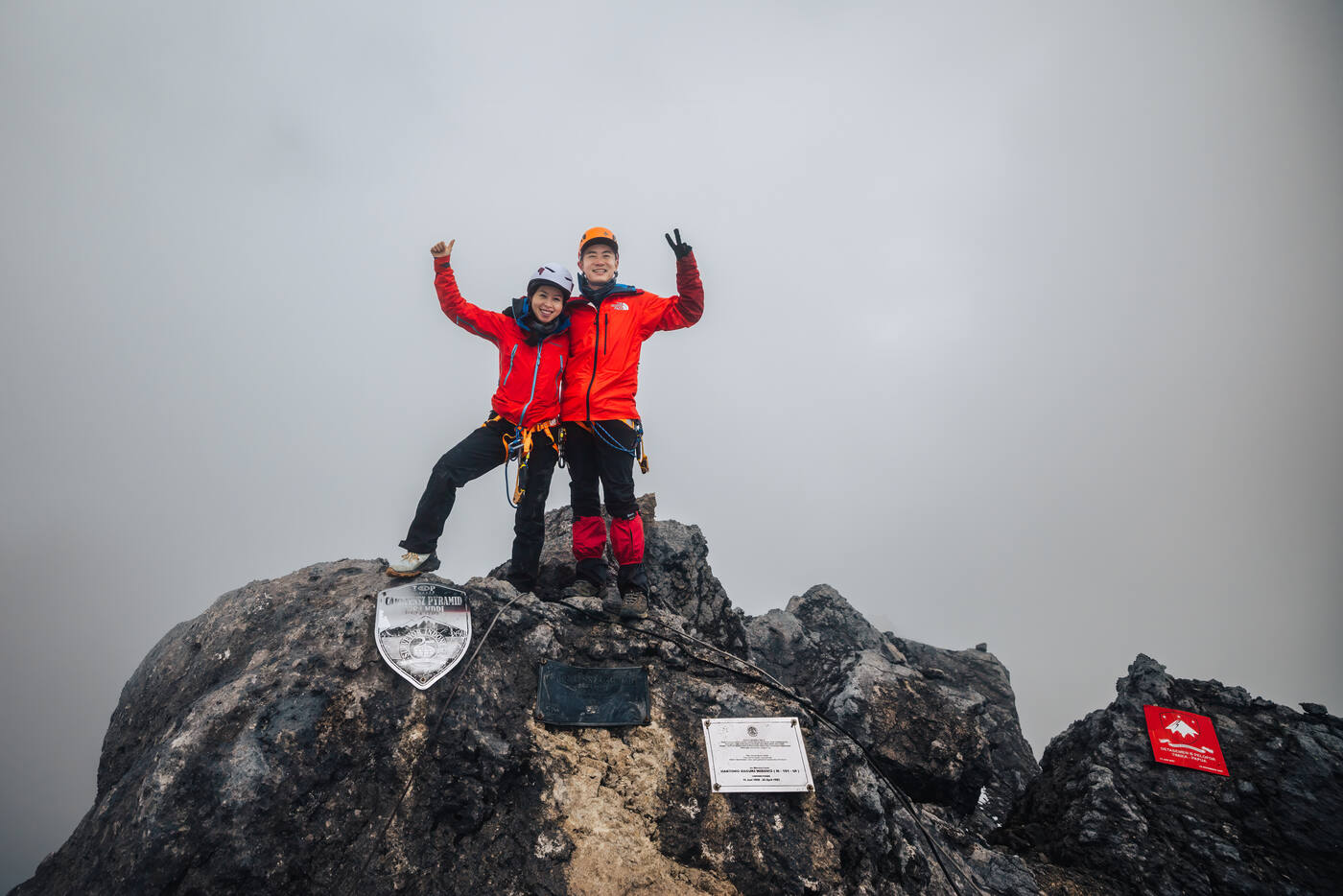
After hours of technical climbing, we came out onto the summit ridge. The clouds parted just enough for us to see where we were: 4,884 meters up, the highest point between the Himalayas and the Andes. The weather cooperated too. Cloudy but still, without the fierce winds that often hit this summit.
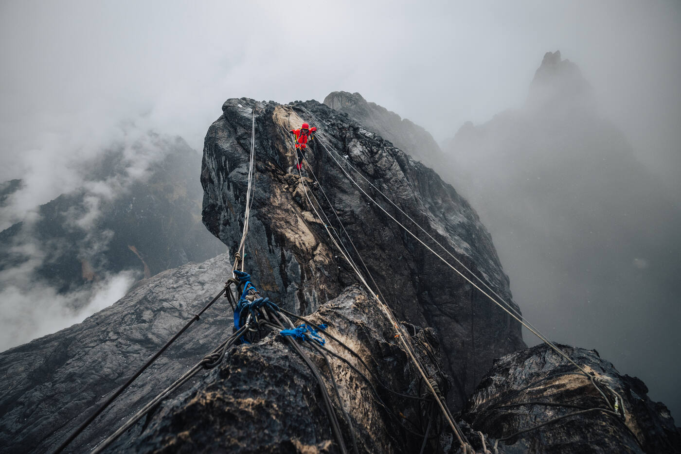
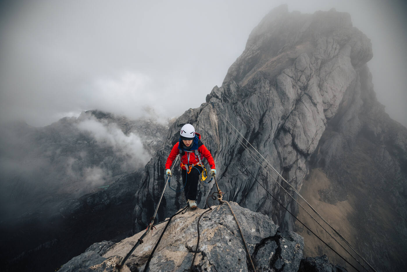
The final push to the summit ridge. Fixed ropes and mist, every step closer to the top.
Ascending through the clouds. The summit ridge coming into view.On the summit rocks. The limestone peak of Oceania underfoot.
4,884 m / 16,024 ft
The Highest Point in Oceania
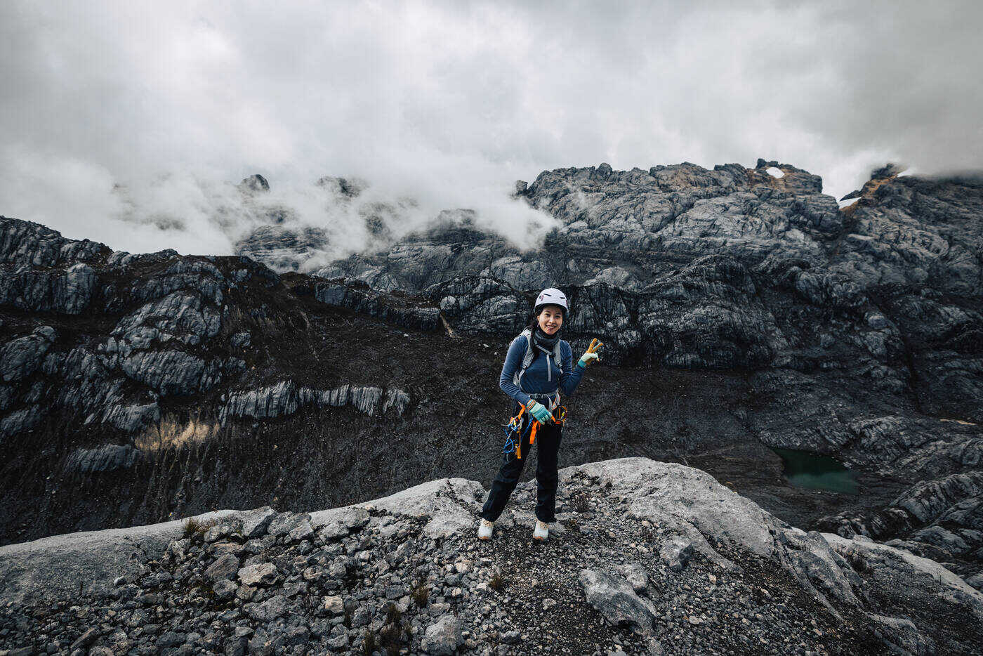
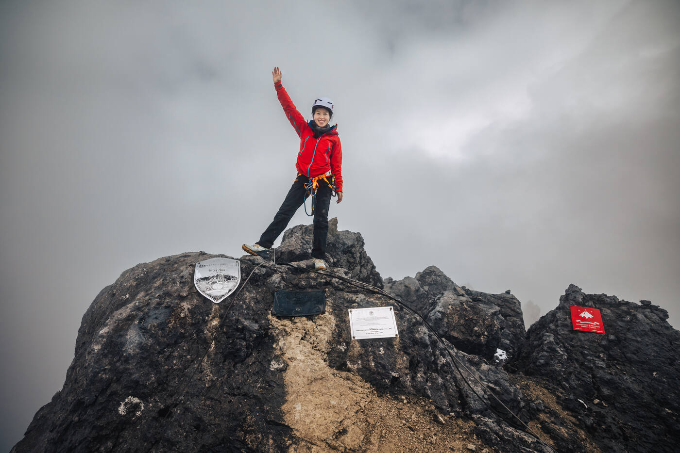
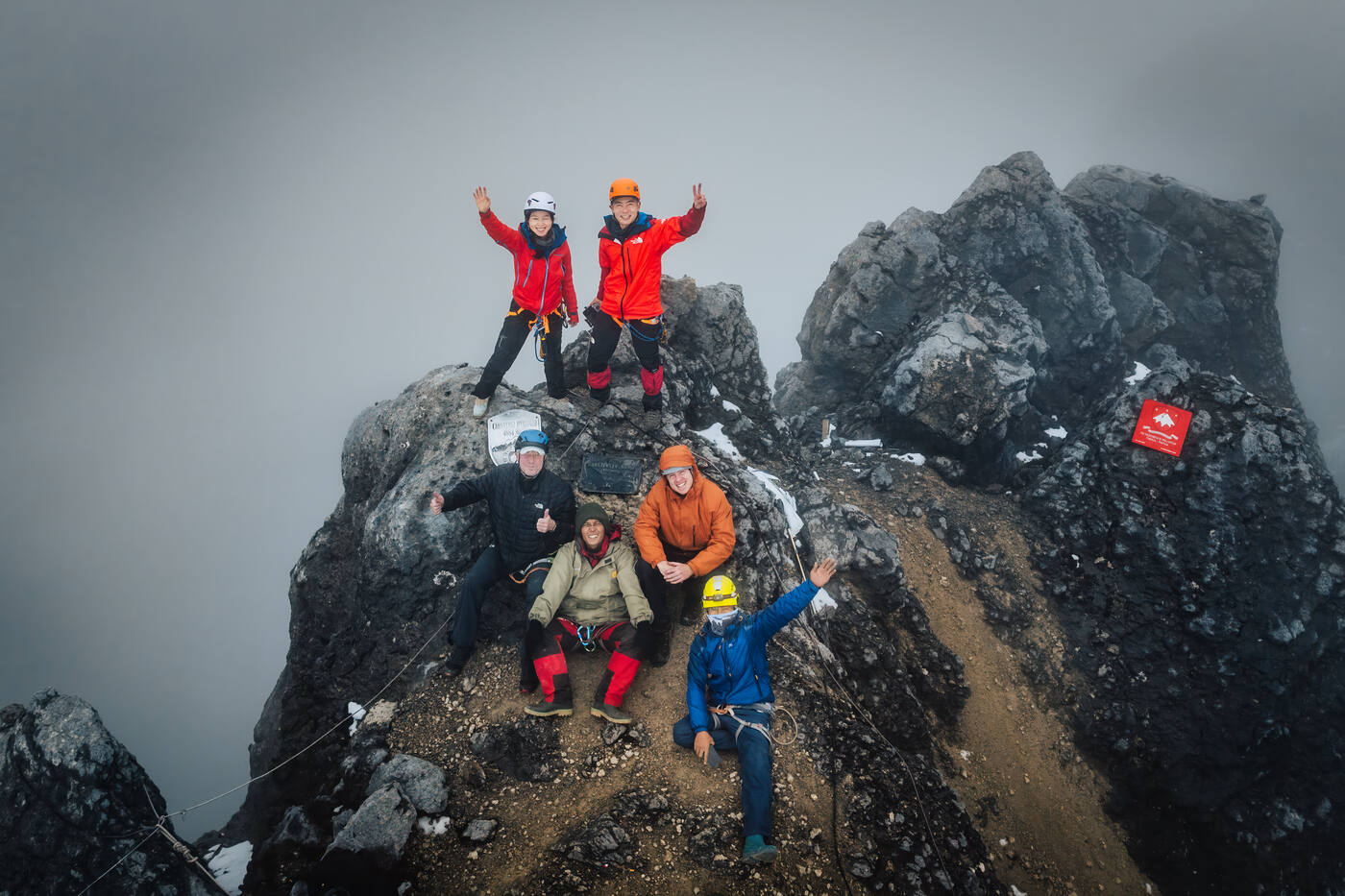
Grace on the summit of Carstensz Pyramid. Arm raised, the roof of Oceania underfoot.
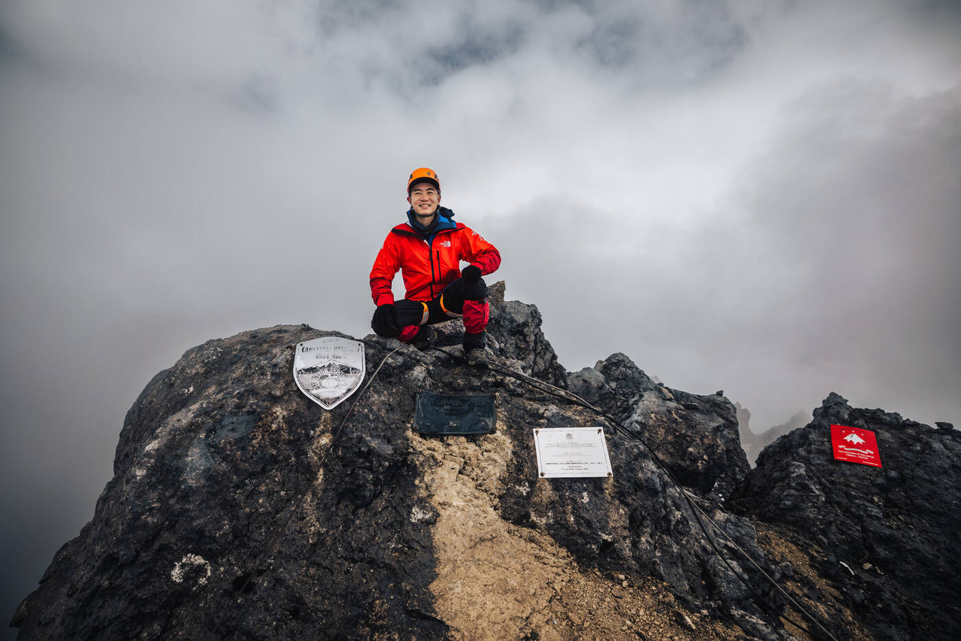
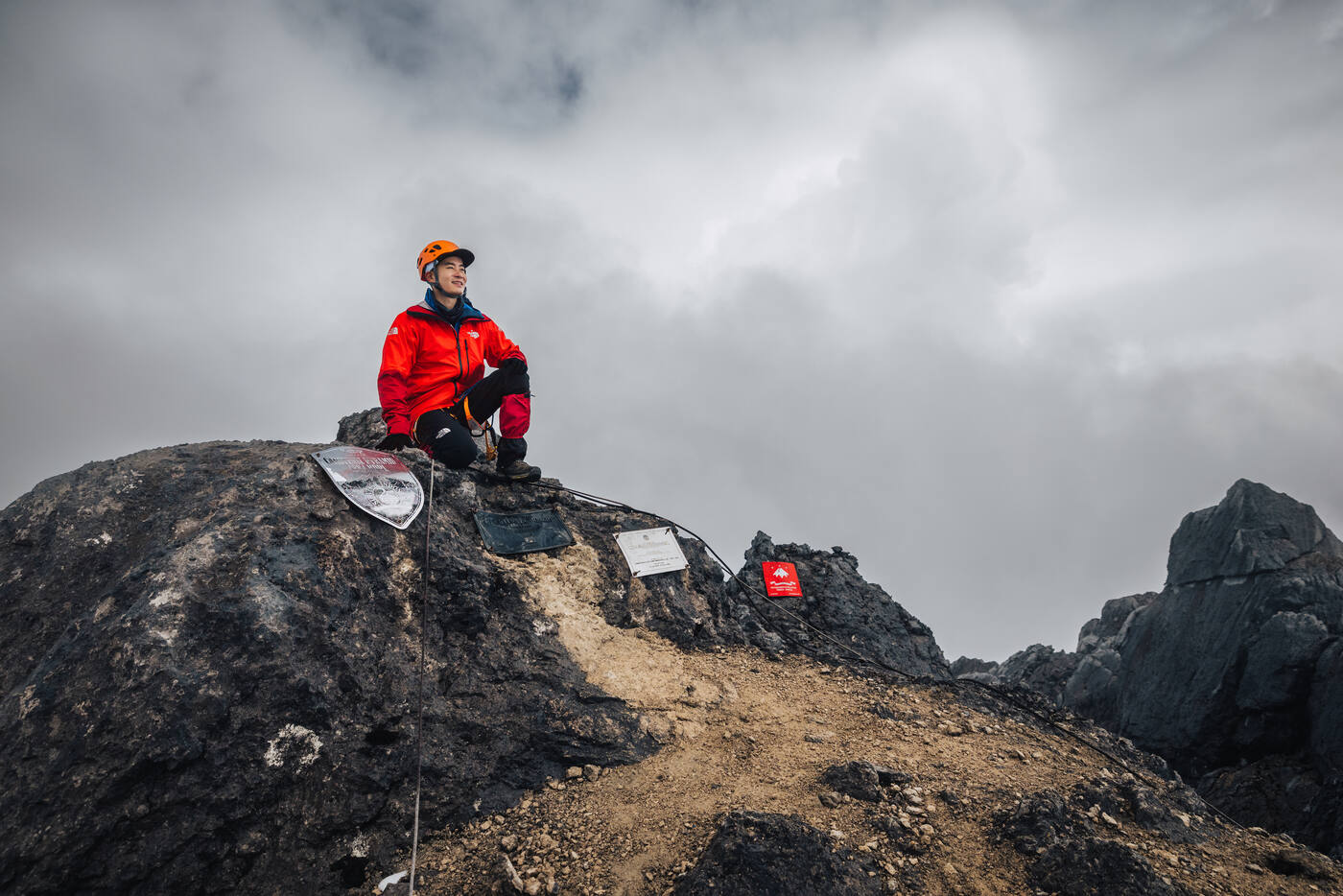
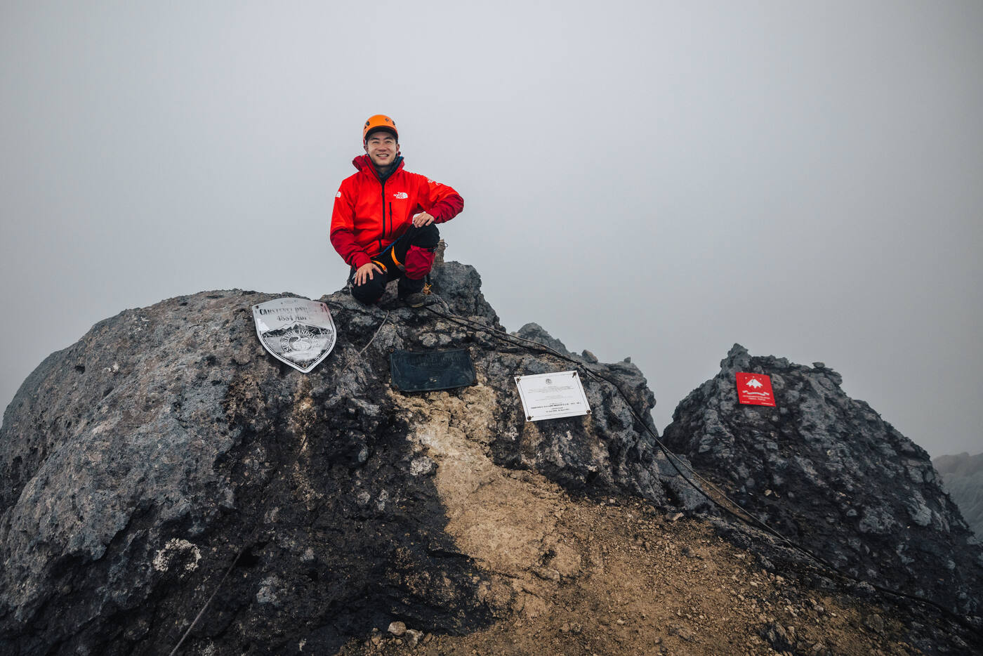
Crouched on the summit block beside the plaques. The five-year wait was worth every second.Victory at 4,884 meters. The roof of a continent, in one of the most remote places on Earth.
Standing on the summit together. After six continents and six peaks, the bond runs deeper than any mountain.
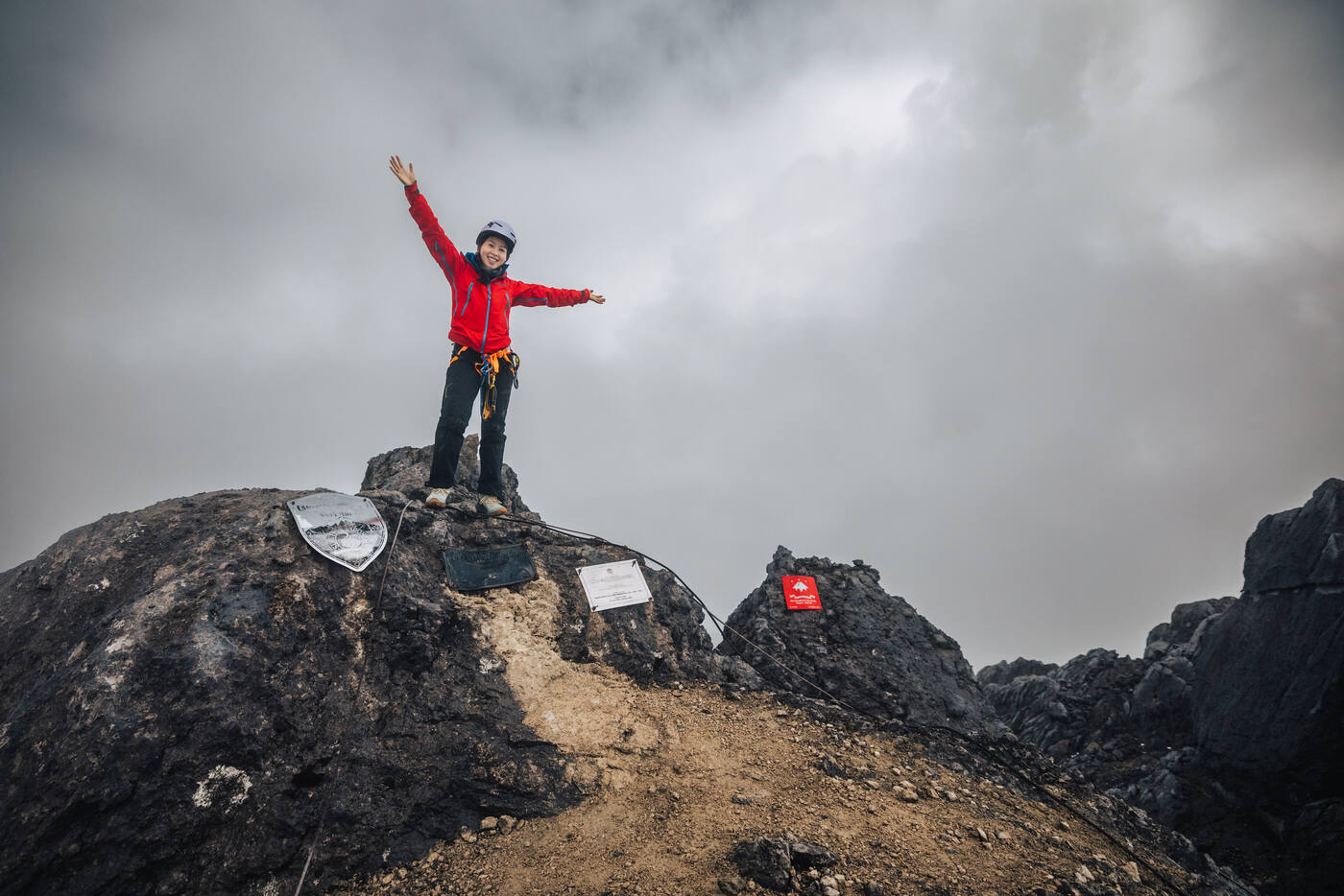
Summit pose beside the shield-shaped summit plaque. Proof that we were here.Taking it all in. A quiet moment on top of the world.
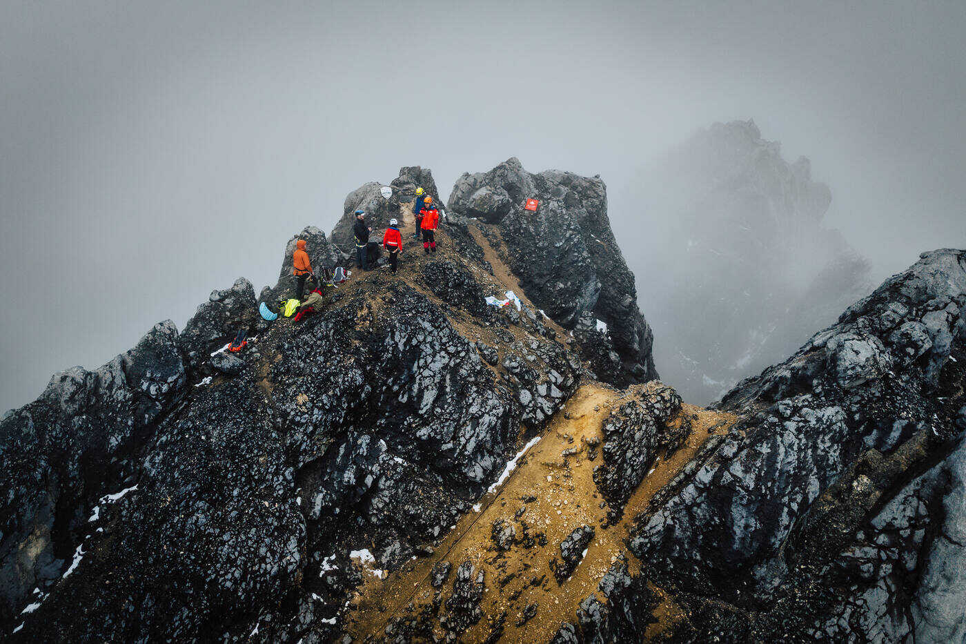
The summit area. A maze of limestone spires with the Sudirman Range fading into the distance.
That made six of the Seven Summits. Carstensz stands apart from the others. The rest are higher or colder, but none of them require this much actual climbing. We were among the first teams up here since the mountain reopened, standing on the roof of Oceania in one of the most remote places we've ever been. Six down. One to go.
The summit from above. Tiny figures on a massive peak, surrounded by nothing but cloud and rock.
The full team scattered across the summit rocks. Everyone made it.Heading down. The valley waiting far below, half-swallowed in cloud.
Beginning the descent through the clouds. The mountain releasing us back into its mist.Rappelling back down the face. The way down demands as much focus as the way up.
Planning Your Carstensz Climb
TL;DR
Normal Route (Harrer Route) via helicopter approach from Timika. Permits are rare and political access is unpredictable, so go when the window opens. This is a technical rock climb, not a high-altitude trek. Prior rock climbing and rope skills are essential. Budget 7–10 days including logistics and weather delays. The most technical of the Seven Summits.
When to Go
There is no fixed climbing season. West Papua is equatorial, so weather is warm but unpredictable year-round. The key constraint is permit availability, which depends on the political situation in the region. When permits open, go immediately. Windows can close without warning.
Getting There
Fly to Timika via Jakarta (Soekarno-Hatta). From Timika, a helicopter takes you to base camp at 4,300 meters in about thirty minutes. The alternative is a multi-day jungle trek, but helicopter access is standard for most expeditions. Weather delays in Timika are common, so plan buffer days.
The Route
The Normal Route (also called the Harrer Route) involves technical rock climbing on limestone, exposed ridge traverses, and the famous Tyrolean Traverse. The climb from base camp to summit and back can be done in a single long day. Fixed ropes are in place for most sections.
Skills Required
This is a technical rock climb. You need experience with rock climbing, rappelling, ascending fixed ropes with jumars, harness systems, and the Tyrolean Traverse technique. High-altitude experience is helpful but the elevation (4,884m) is moderate compared to other Seven Summits peaks.
What Makes It Hard
The technical difficulty is the highest of any Seven Summits peak. Vertical limestone walls, constant exposure, and the Tyrolean Traverse all require real climbing skill. The remoteness of West Papua adds logistical complexity. And the permit situation means many climbers wait years for access.
Permits and Access
Permits are issued through the Indonesian government and can be extremely difficult to obtain. The mountain has been closed for years at a time due to regional tensions. Work with an established expedition company that has relationships with local authorities. Be prepared for plans to change at any moment.