Five days on the Machame Route, one midnight summit push, and a lifetime of memories at 5,895 meters.
Elevation
5,895 m / 19,341 ft
Location
Tanzania, East Africa
Summit Date
July 8, 2018
Route
Machame ("Whiskey")
Days on Mountain
5 (4 up + summit)
Season
Dry (June–July)
Kilimanjaro had been on our radar for a full year before we ever set foot on it. During a trip to Kenya in 2017, we spotted the mountain's unmistakable silhouette from the veranda of Ol Donyo Lodge, a snow-capped giant floating above the haze about forty miles away. Standing there with sundowners in hand, we made a quiet promise to each other: next year, we'd be on that summit.
Mount Kilimanjaro is a dormant volcano towering at 5,895 meters, the highest point in Africa and the tallest free-standing mountain on earth. For us, it would be the first of the Seven Summits, the opening chapter of a quest that would eventually take us to the top of every continent. We chose the Machame Route, known locally as the "Whiskey Route" for its steeper, more demanding terrain. In the compact four-day-to-summit format we followed, the success rate sits around 27 percent. We liked those odds.
What followed was five days through nearly every ecosystem on the planet: cultivated farmland, dripping rainforest, heather moorland, alpine desert, and arctic summit, all compressed into 63 kilometers of relentless uphill trail. Our friend James Hu joined us, and together the three of us pushed through mud, scree, snow, and a midnight summit attempt in minus-twenty-six-degree winds. This is the story of how we got to the Roof of Africa.
Day 1: Into the Rainforest
July 4, 2018 · Machame Gate (1,815 m) → Machame Camp (3,000 m) · 20 km
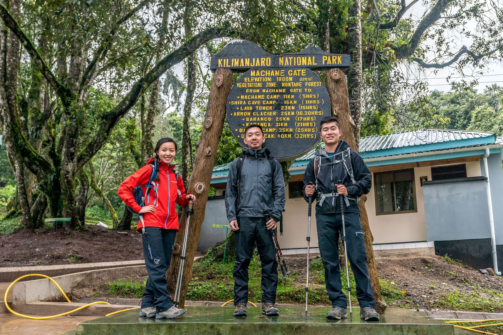
The three of us at Machame Gate. Rain jackets on, spirits high, no idea what was coming.
Our first day started at Machame Gate, where a wooden sign lists every camp on the route like a menu of what's ahead. At 1,815 meters the air was still thick and warm, the kind of equatorial heaviness that makes you wonder how the same mountain could be covered in snow just a few vertical miles above. We signed the register, shouldered our packs, and stepped onto the trail.
Within minutes the rainforest swallowed us. The canopy closed overhead, dripping with moss and filtered green light. It rained, then stopped, then rained again. The trail turned to red-brown mud that sucked at our boots. Porters streamed past us at improbable speed, balancing enormous bundles on their heads, singing call-and-response songs that echoed through the trees. This was the longest day by distance, twelve miles, and it made one thing clear right away: Kilimanjaro does not ease you in.
It was unusually cold for this time of year, and the summit was completely blanketed in snow, something our guides mentioned with both admiration and caution. We reached Machame Camp by late afternoon as clouds rolled in behind us like a curtain being drawn. Above the treeline for the first time, we could just make out the southern ice fields catching the last of the light.
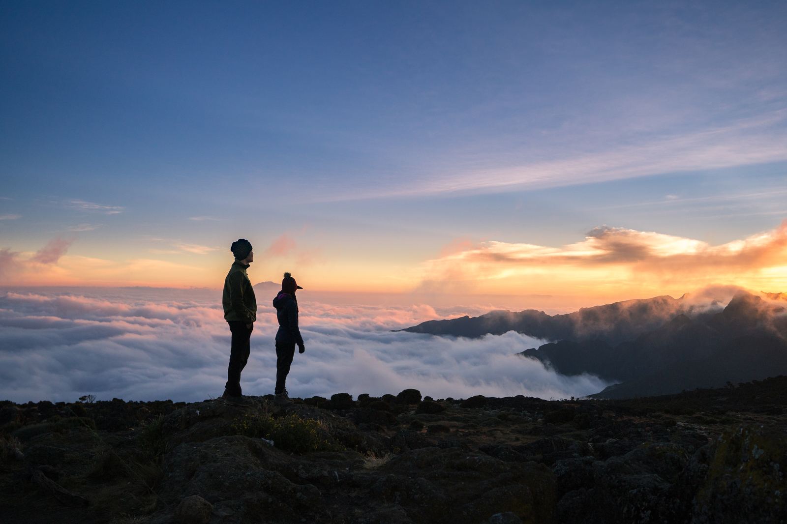
Sunset above the clouds on our first night. Below us, the world had disappeared entirely.
Day 2: Shira Plateau and the Milky Way
July 5, 2018 · Machame Camp (3,000 m) → Shira Camp (3,840 m) · 5 km
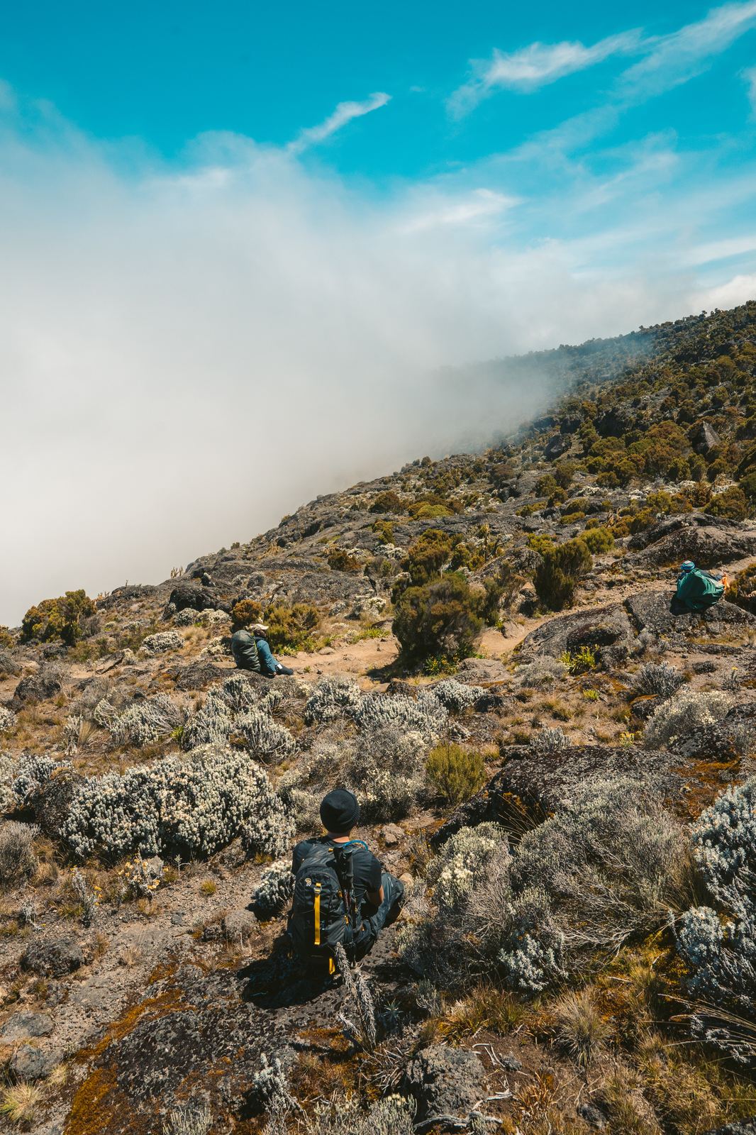
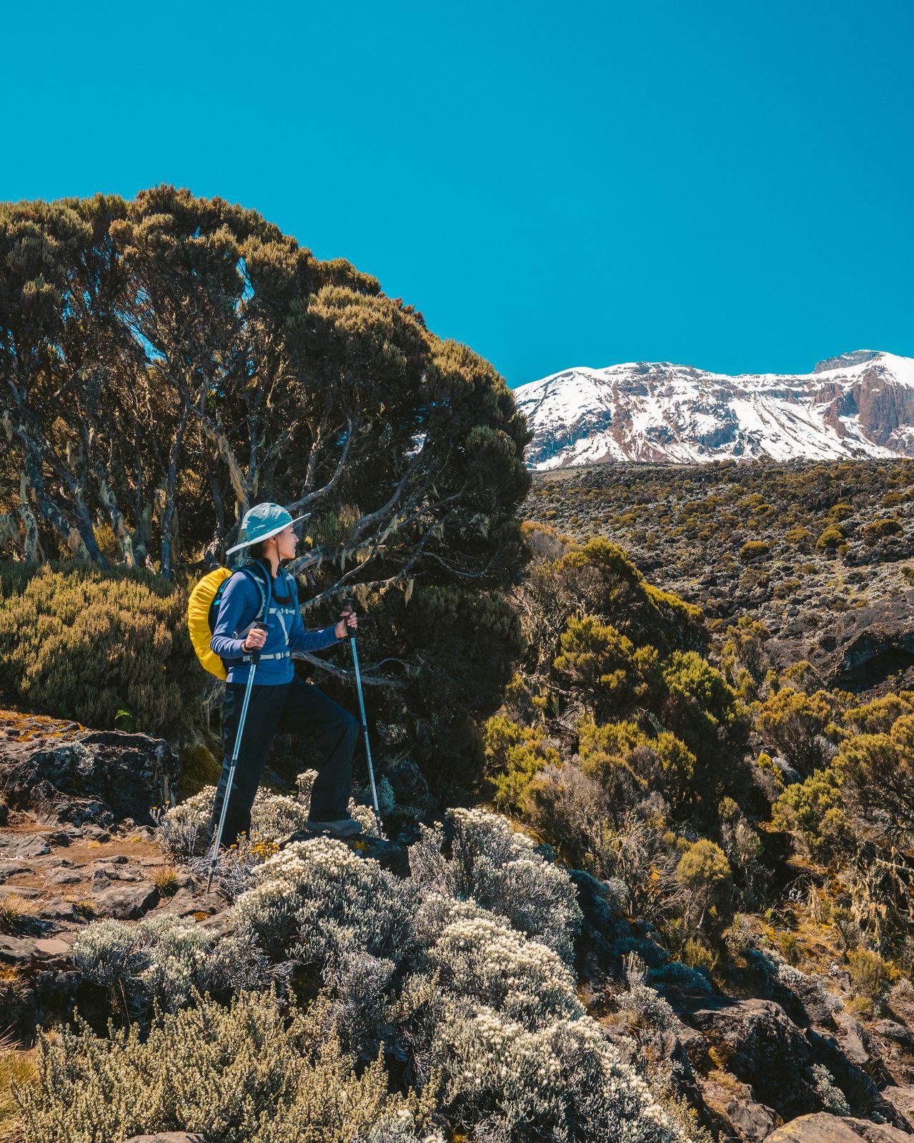
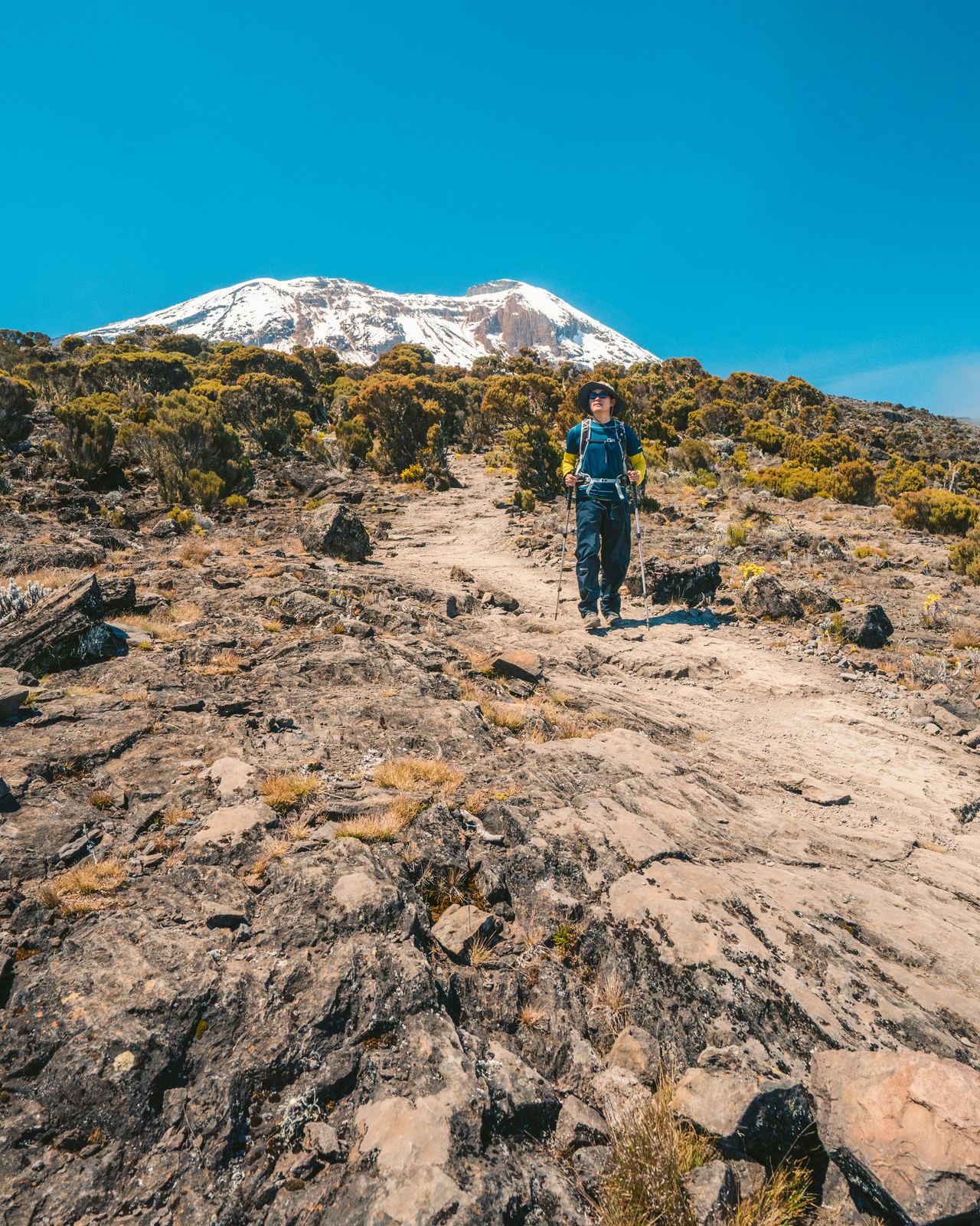
Day two was mercifully shorter in distance but punishing in altitude gain. We left Machame Camp and climbed steeply through the heath zone, a moorland of giant heather, volcanic rock, and wiry scrub that thins with every step upward.
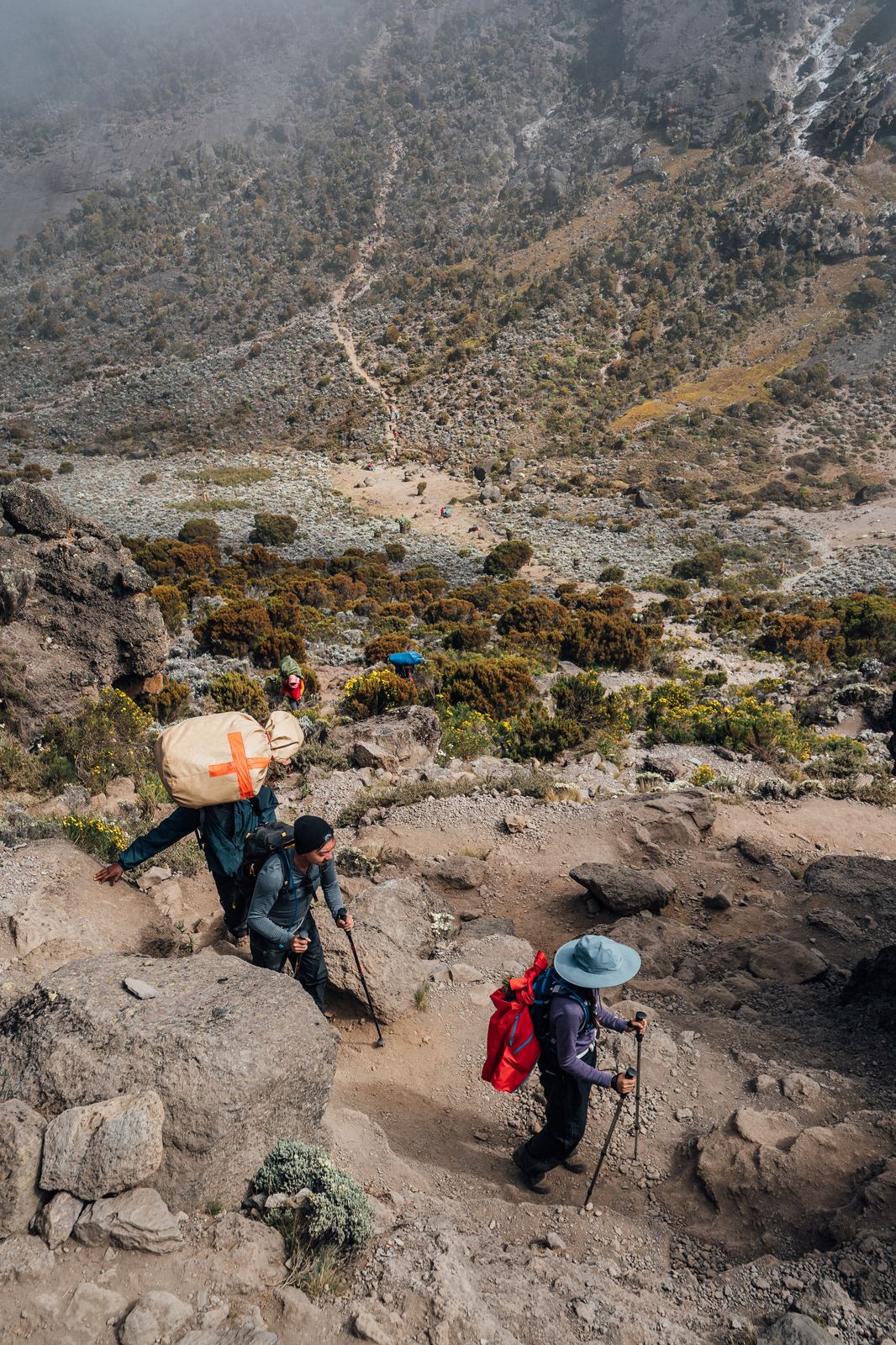
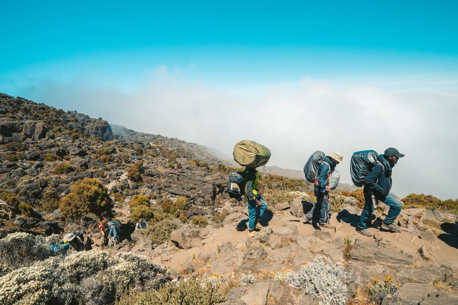
Porters streaming past with full loads, balancing everything on their heads.Breaking through the heath zone, the rainforest already a world below us.
Hemmed in by mist on the climb out of the heath zone.The mountain towering above everything, still impossibly far away.
Porters pushing through the final stretch to camp, clouds filling the valley below.
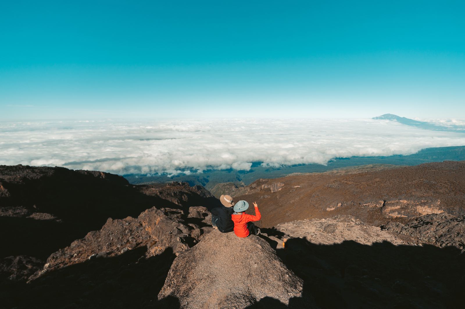
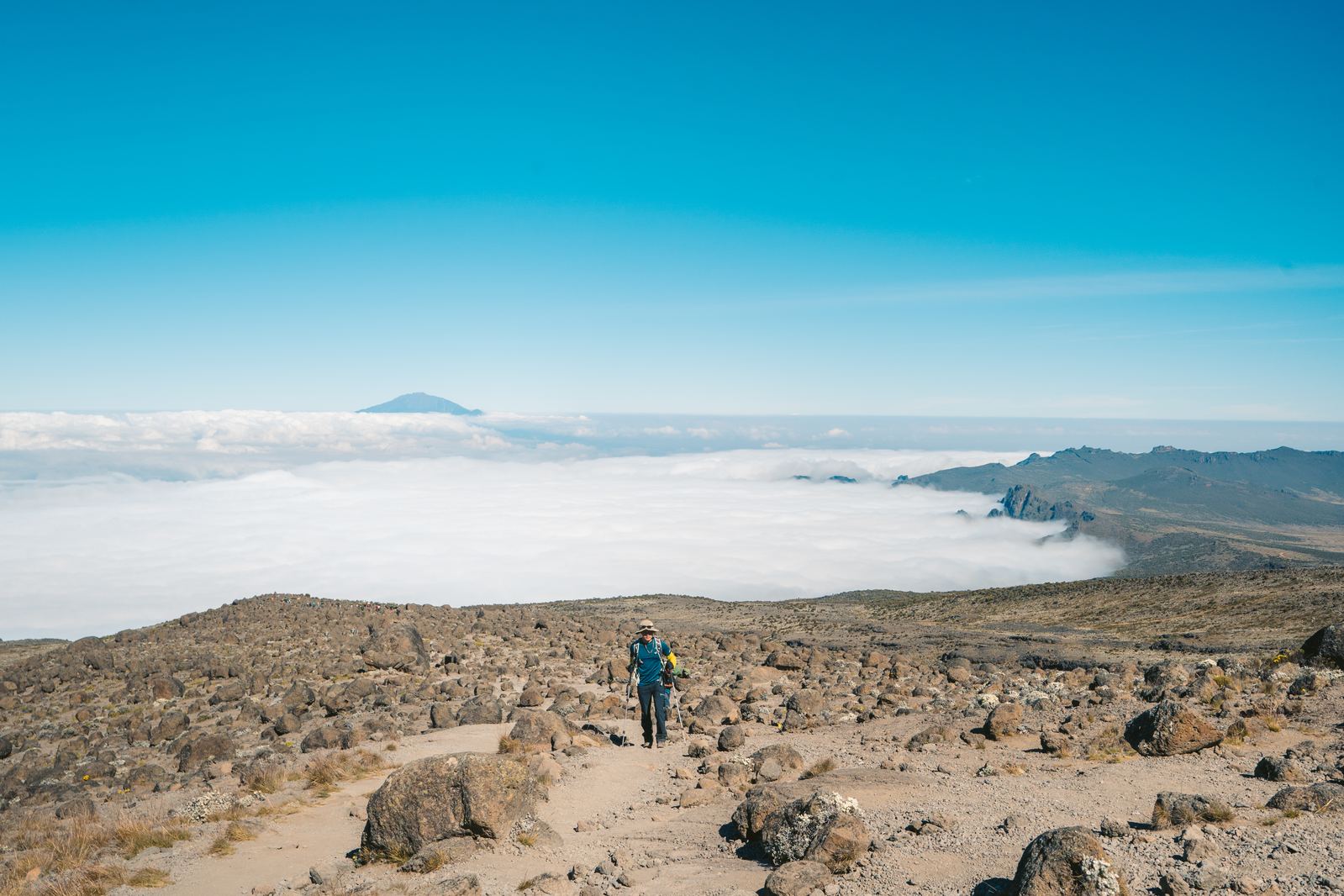
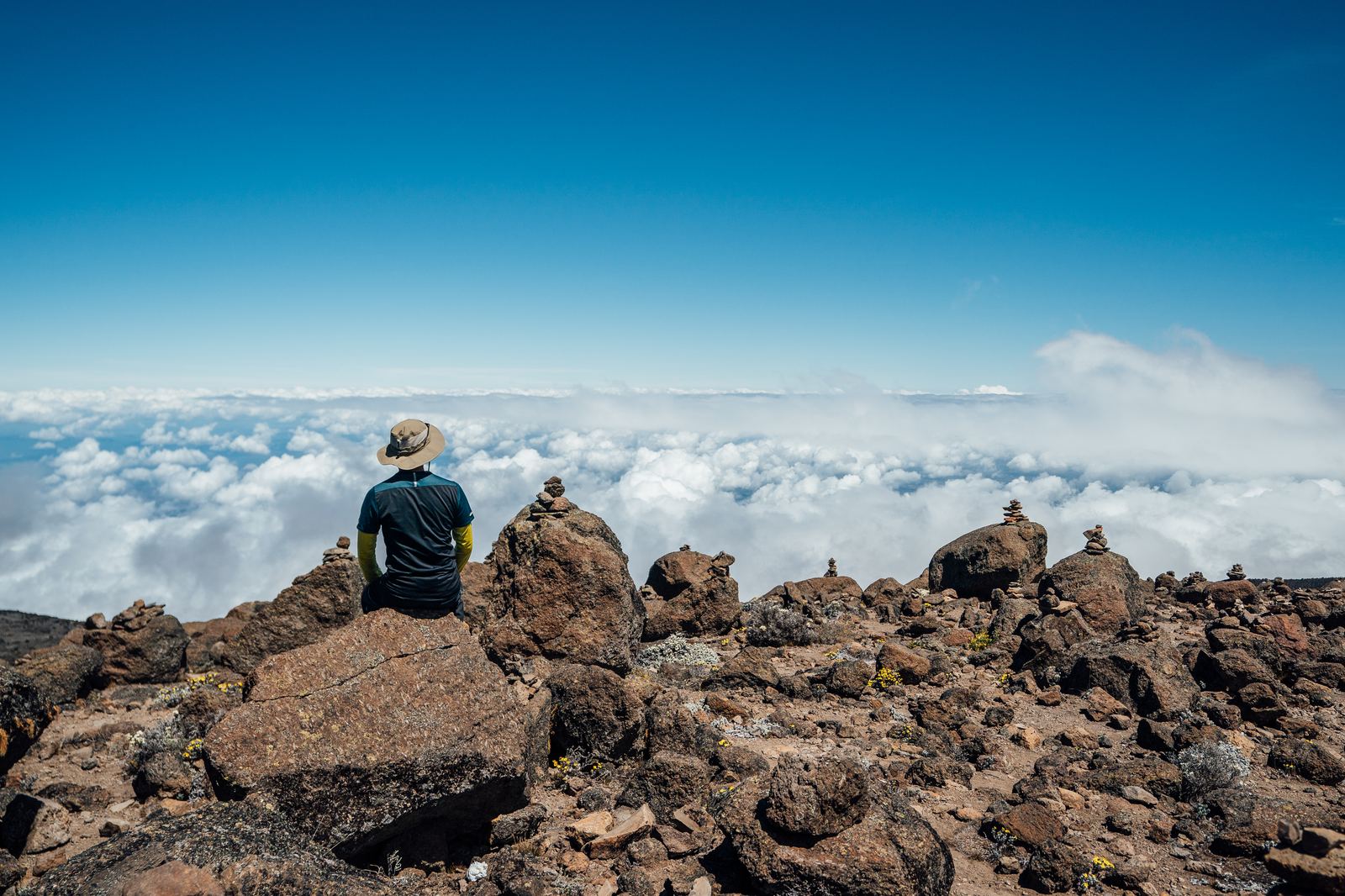
The trail broke above the clouds around midday. One moment we were hemmed in by mist; the next, we were standing in crystalline sunlight with an ocean of white stretching to the horizon below. Shira Plateau opened before us, a vast, high-altitude moorland that felt like walking across the top of the world. In the distance, Kilimanjaro's summit cone rose impossibly white against the deep blue sky.
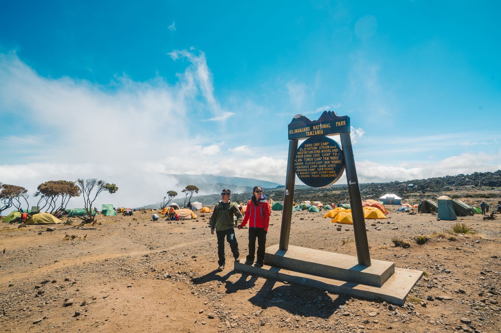
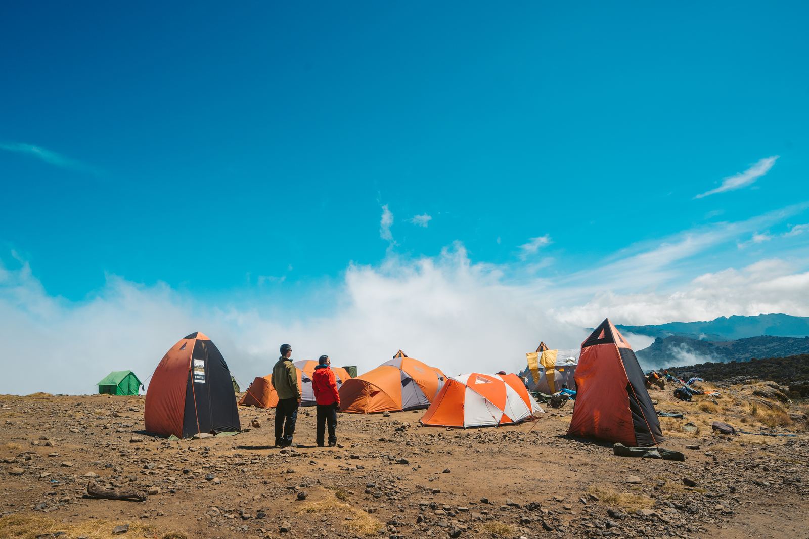
Breaking above the clouds around midday. The world below disappearing under an ocean of white.Shira Camp, 3,840 meters. Altitude headaches creeping in, but spirits still strong.Shira Camp in the afternoon sun. Home for the night before pushing higher.
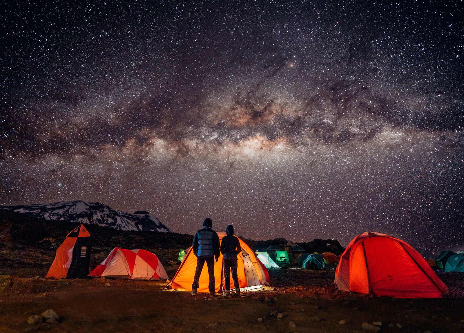
At Shira Camp, the altitude started to make itself felt. Headaches crept in. Appetites faltered. The guides reminded us to drink water constantly and move "poli poli," slowly, slowly, the Swahili mantra that would carry us all the way to the top. But that evening the mountain gave us something extraordinary in return: the clearest night sky either of us had ever seen.
The Milky Way over Shira Camp. At 3,840 meters with zero light pollution, the sky was overwhelming. One of our all-time favorite photographs.
Day 3: Lava Tower and the Barranco Wall
July 6, 2018 · Shira Camp (3,840 m) → Lava Tower (4,630 m) → Barranco Camp (3,950 m) · 11 km
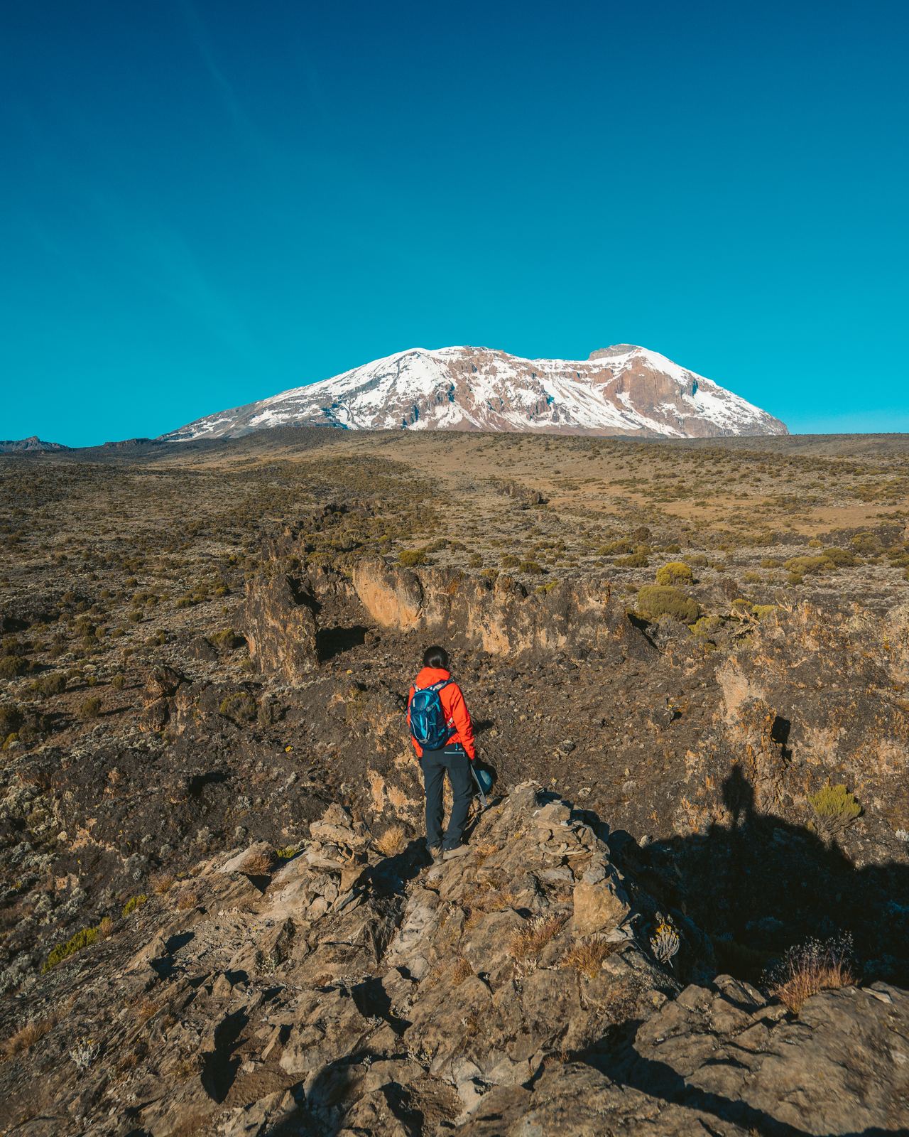
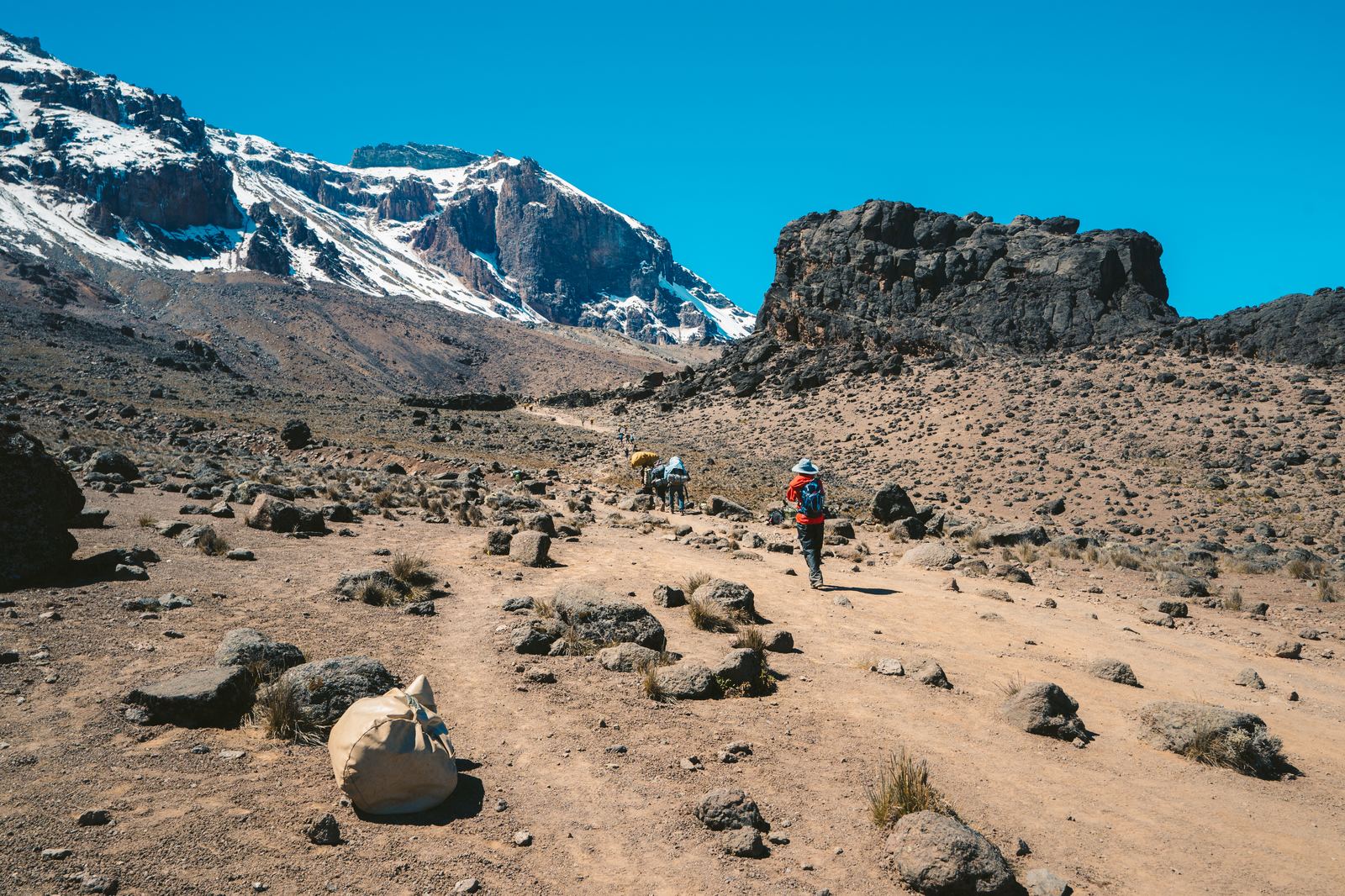
Day three is the Machame Route's signature move: climb high, sleep low. We ascended from Shira Camp toward the Lava Tower at 15,190 feet (4,630 meters), passing through a stark alpine desert where nothing grows. The air was thin here, noticeably and uncomfortably so. Each step required deliberate breathing. The landscape had shed every trace of green; nothing remained but rock, dust, and sky.
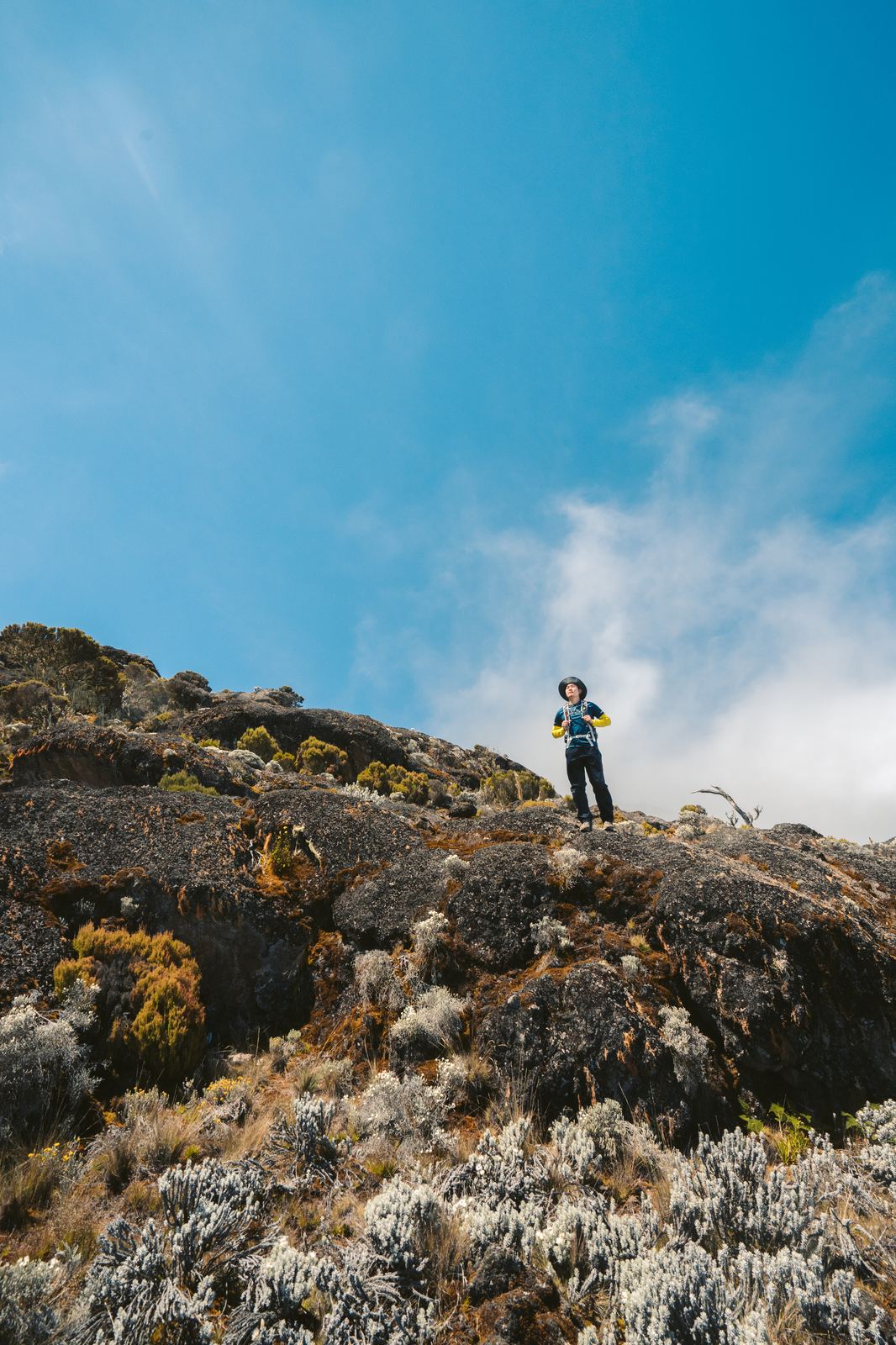
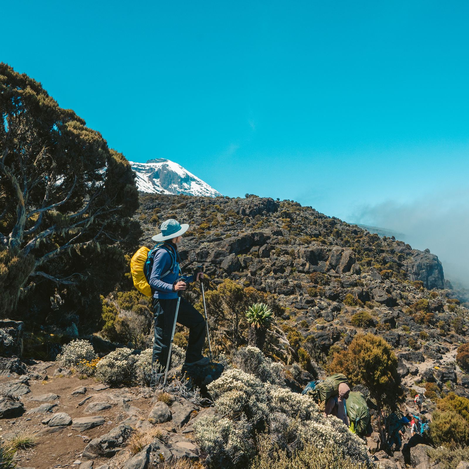
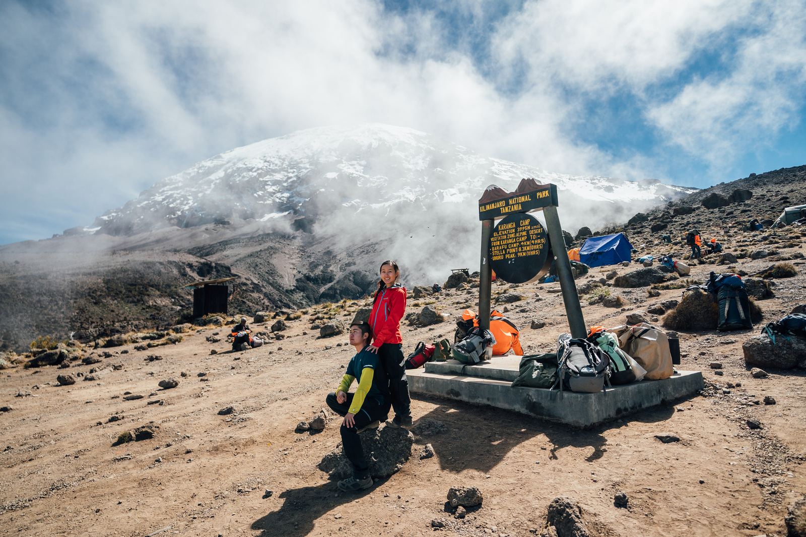
A breather at the camp sign, Kibo's snowy dome drifting in and out of the clouds above us.Gnarled tree heather, the last of the big vegetation before the alpine desert, with the summit finally in view.
The summit getting closer with every step.Above the clouds in the alpine desert. The world stripped to its elements.A sea of cloud filling the valleys below the alpine zone.
At the Lava Tower we paused for lunch with altitude pressing against our temples, then descended sharply into the Barranco Valley. The drop back to 3,950 meters was a relief. Blood oxygen levels climbed. Appetites returned. This "trek high, camp low" strategy is the reason the Machame Route succeeds where shorter approaches fail: it forces the body to adapt before the final push.
Descending from Lava Tower to Barranco. The summit cone watching over us the entire way.
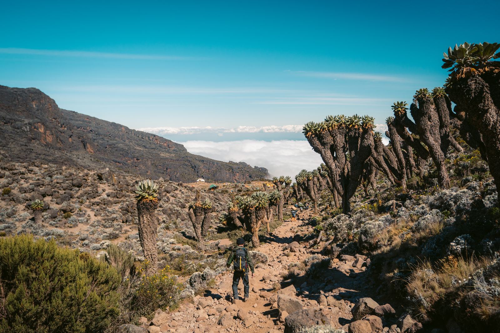
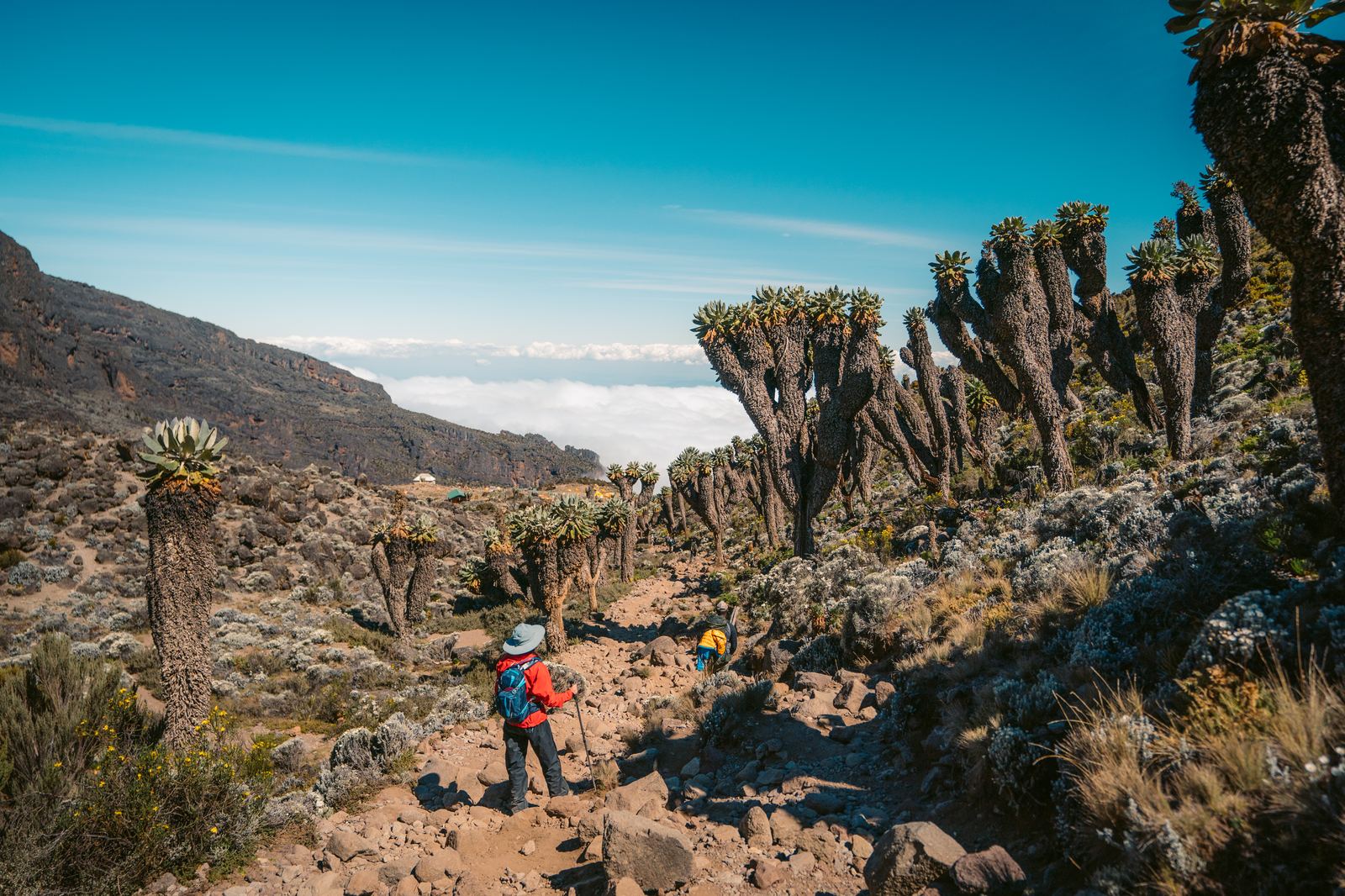
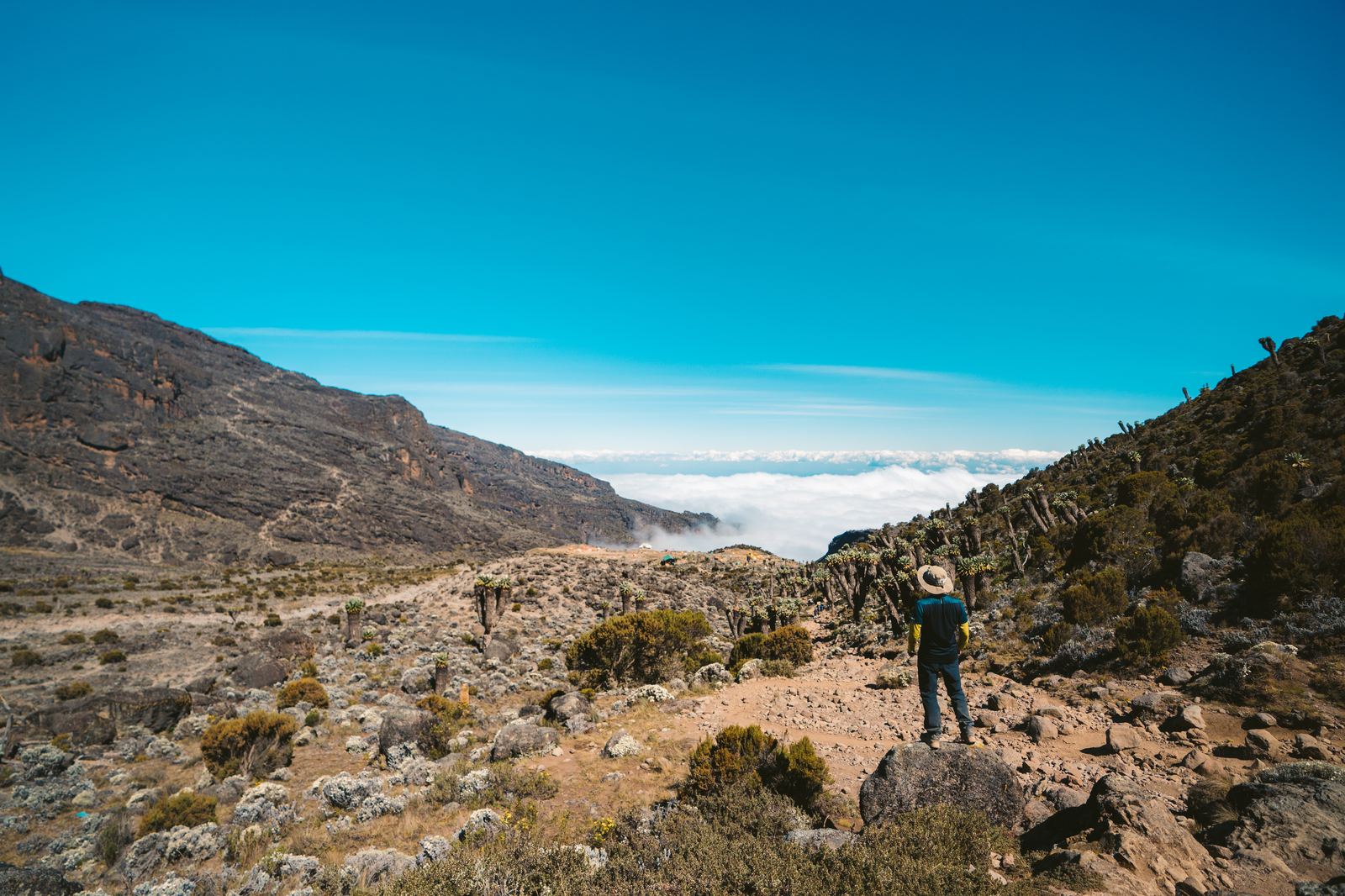
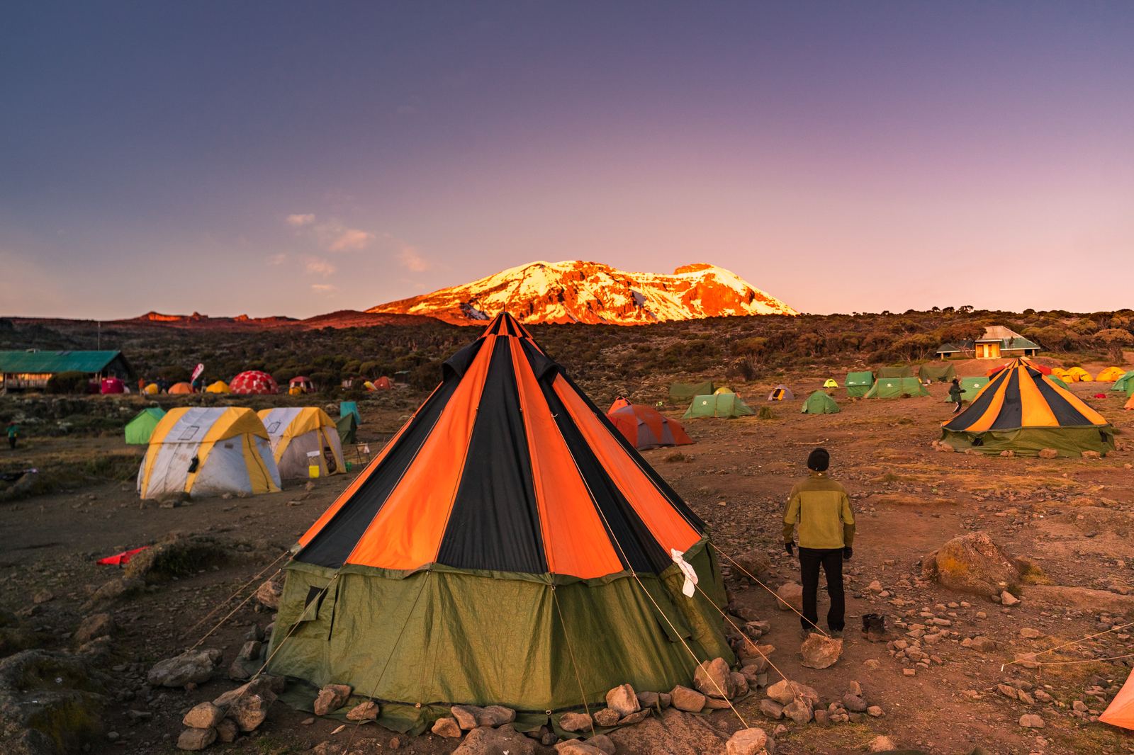
The descent into the Barranco Valley brought us into an alien landscape of giant groundsel and lobelia, plants that look like they belong on another planet, their thick rosettes evolved to survive freezing nights and scorching equatorial sun in equal measure. Barranco Camp is perched on a ledge with the infamous Barranco Wall looming directly above, a near-vertical scramble that we'd tackle first thing the following morning. That evening, wrapped in down jackets and holding cups of hot ginger tea, we watched the sunset paint Kilimanjaro's glaciers in shades of amber and rose.
The surreal landscape of giant groundsel, plants that can live for over 200 years.Grace navigating the otherworldly groundsel forest.
Walking the ridge with clouds spilling into the valleys on either side.Camp at dusk with Kilimanjaro's summit catching the last light. The mountain glows orange before darkness sets in.
Day 4: The Long March to Base Camp
July 7, 2018 · Barranco Camp (3,950 m) → Barafu Camp (4,673 m) · 9 km
We woke before dawn to tackle the Barranco Wall, a hands-on rock scramble that is more exhilarating than dangerous, though the exposure makes your heart beat in your throat. At the top the trail traversed the Karanga Valley before climbing steadily into the alpine desert zone, a landscape so stark and lunar that conversation faded and each of us retreated into our own heads.
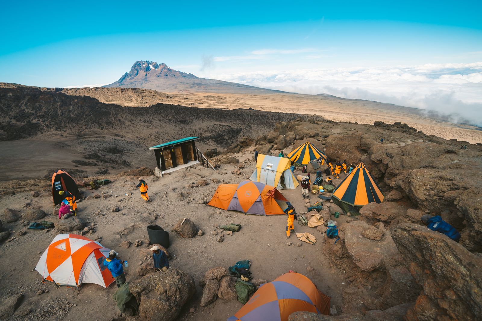
By early afternoon we arrived at Barafu Camp, "ice" in Swahili, at 15,331 feet (4,673 meters). This would be our base camp for the overnight summit attempt. The camp sits on a windswept ridge with nothing between you and the summit cone but six hours of darkness. The views were staggering: Mawenzi Peak to the east, the glacier-topped Kibo dome directly above, and the Tanzanian plains dissolving into haze far below.
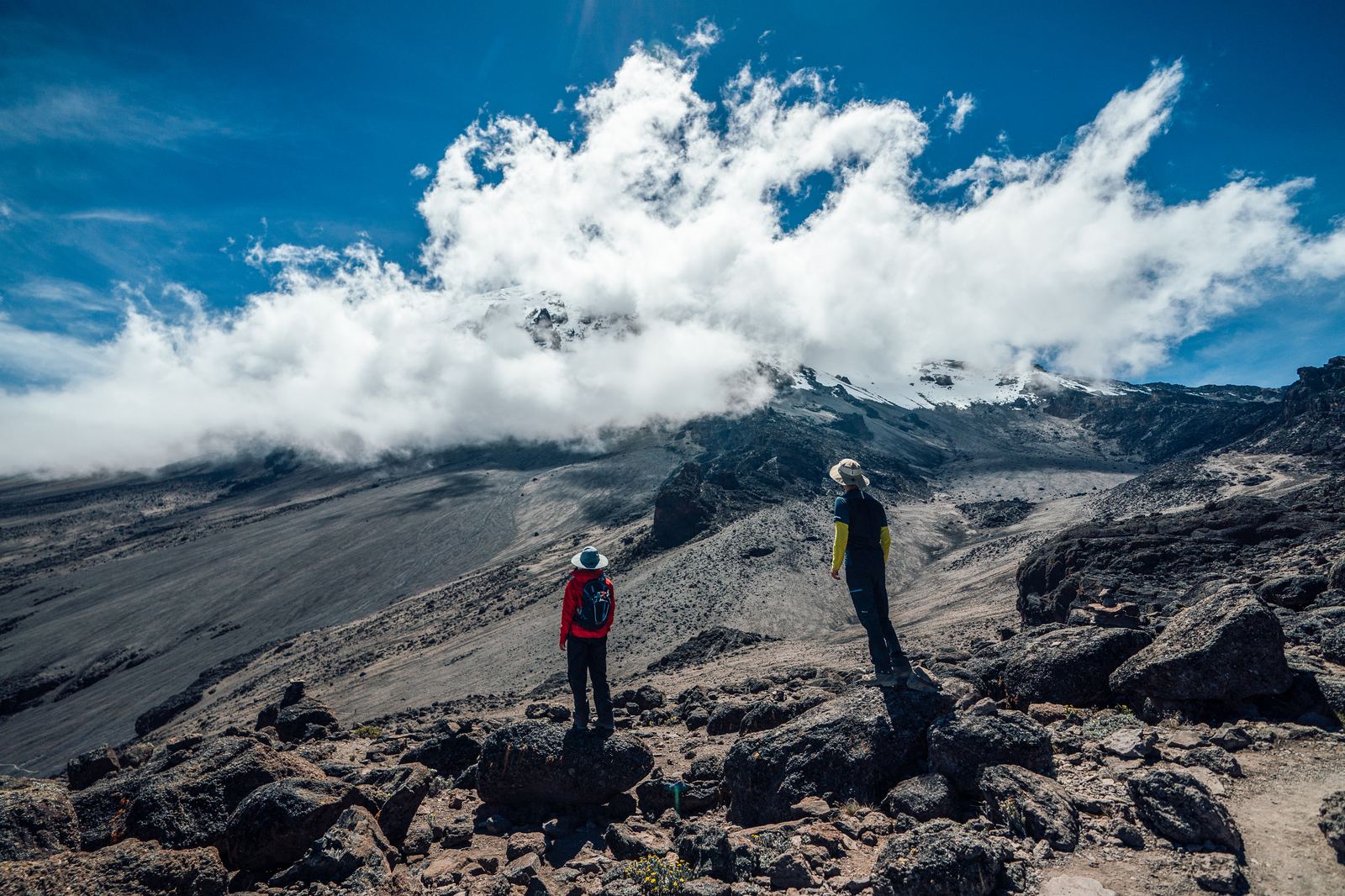
Perched above the clouds, trying to take it all in.Pausing to look up at Kibo, clouds boiling around the summit. The altitude was hitting hard.
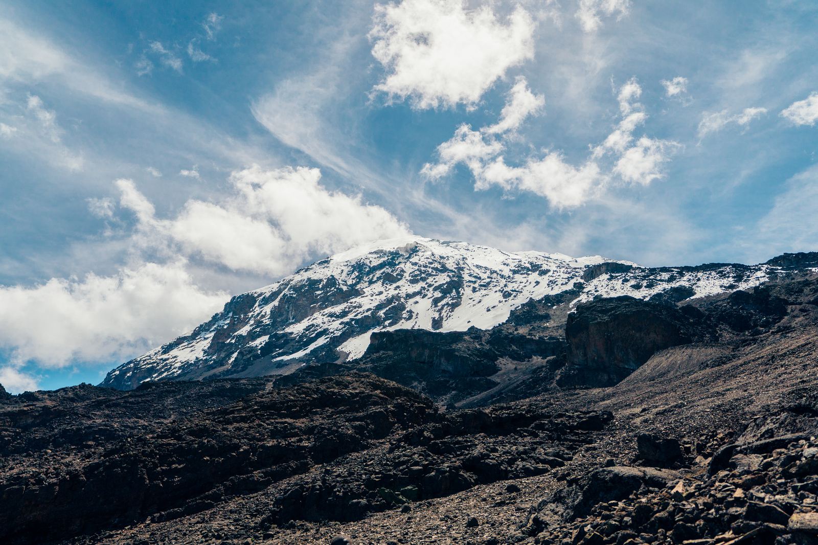
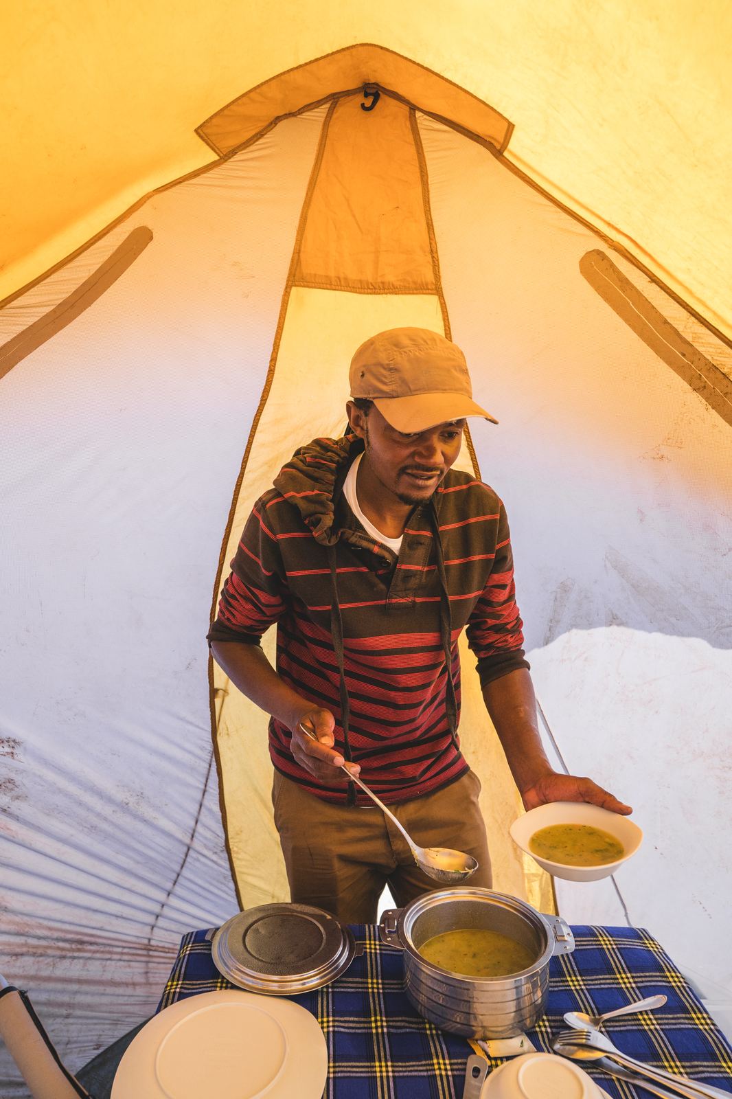
The summit cone in full view. Tomorrow, we'd be up there.Barafu Camp, 4,673 meters. Our base camp for the summit attempt.Our camp cook serving hot soup in the tent. The crew kept us fueled and warm the entire way up.
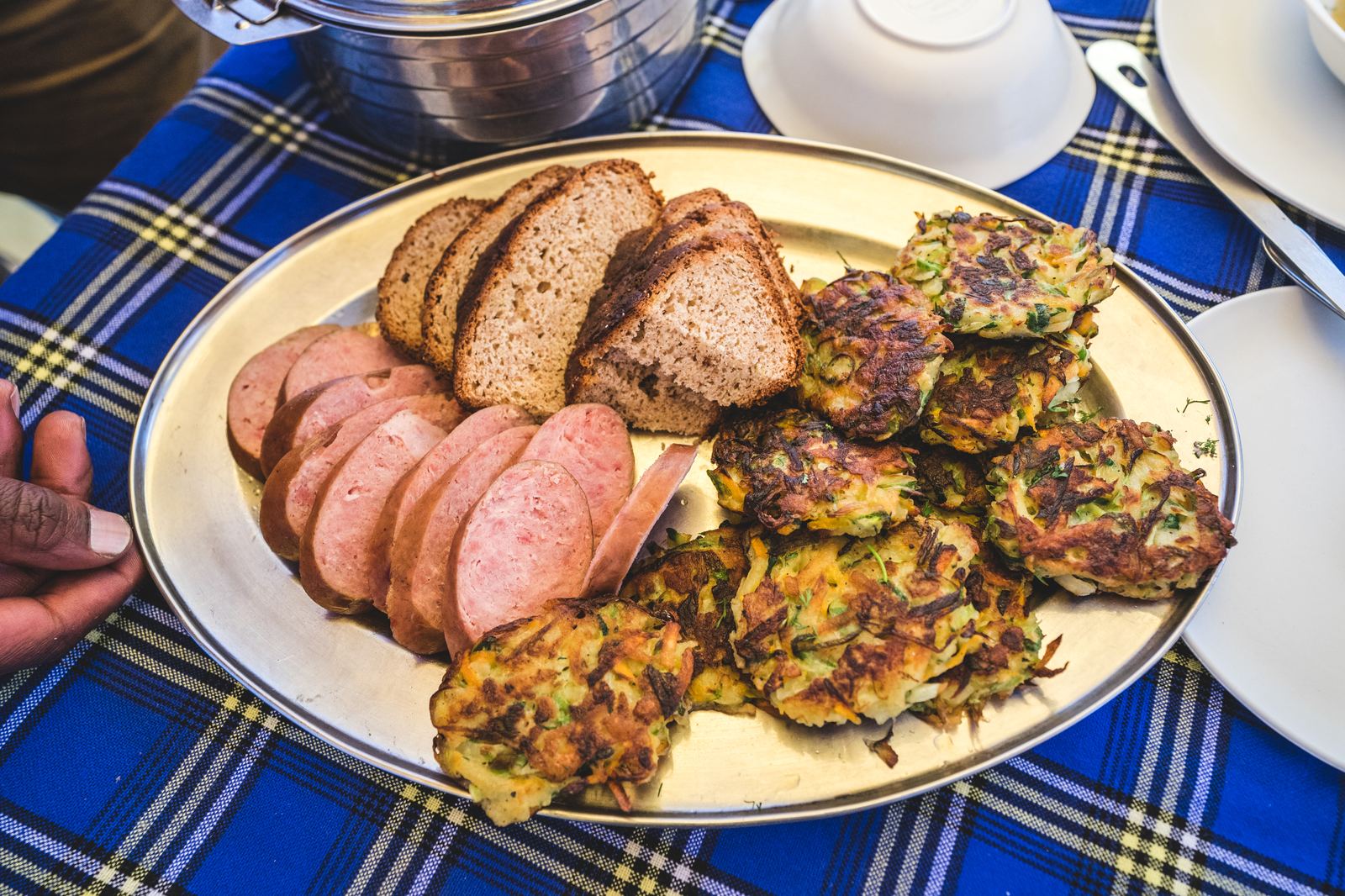
Our guides laid out the plan: wake-up call at midnight, four layers on top, four on the bottom. The temperature would drop to minus twenty-six degrees Celsius. We'd climb through the night, aiming to reach the crater rim at Stella Point for sunrise, then push the final stretch to Uhuru Peak. After the summit, we'd descend all the way to the base of the mountain, a total of eighteen hours on our feet without real rest. "Eat everything you can," our lead guide told us. "You'll burn it all." None of us slept more than an hour that night.
Fueling up at Barafu. “Eat everything you can,” our lead guide told us.
Summit Day: Through the Darkness to Uhuru Peak
July 7–8, 2018 · Barafu Camp (4,673 m) → Stella Point (5,756 m) → Uhuru Peak (5,895 m) → Mweka Gate · 18 hours
Midnight. The alarm pierced the thin air and we rolled out of our sleeping bags into the kind of cold that stings your face before you can zip your balaclava. Four layers on top, four on the bottom: merino base layer, fleece, down, Gore-Tex shell, and still the wind cut through. We clicked on our headlamps, the only light in a world of absolute darkness, and started walking.
The first hours were a slow-motion procession of headlamp beams snaking up the mountain in single file. Dirt gave way to gravel and loose scree, each step sliding back half its length. The straight trail steepened into switchbacks. Our CamelBak water tubes froze solid. Conversation stopped because there simply wasn't enough oxygen for both talking and walking. The only sounds were the crunch of boots and the ragged rhythm of our breathing.
–26°C
Temperature at the summit push
As the hours ground on, the trail transitioned to hard-packed snow and ice. The switchbacks grew tighter. Time became meaningless, just one breath, one step, one more. "Poli poli," our guide murmured from the front. Slowly, slowly. The mantra became a heartbeat. It was the most physically and mentally challenging night of our lives, and quitting never once crossed our minds.
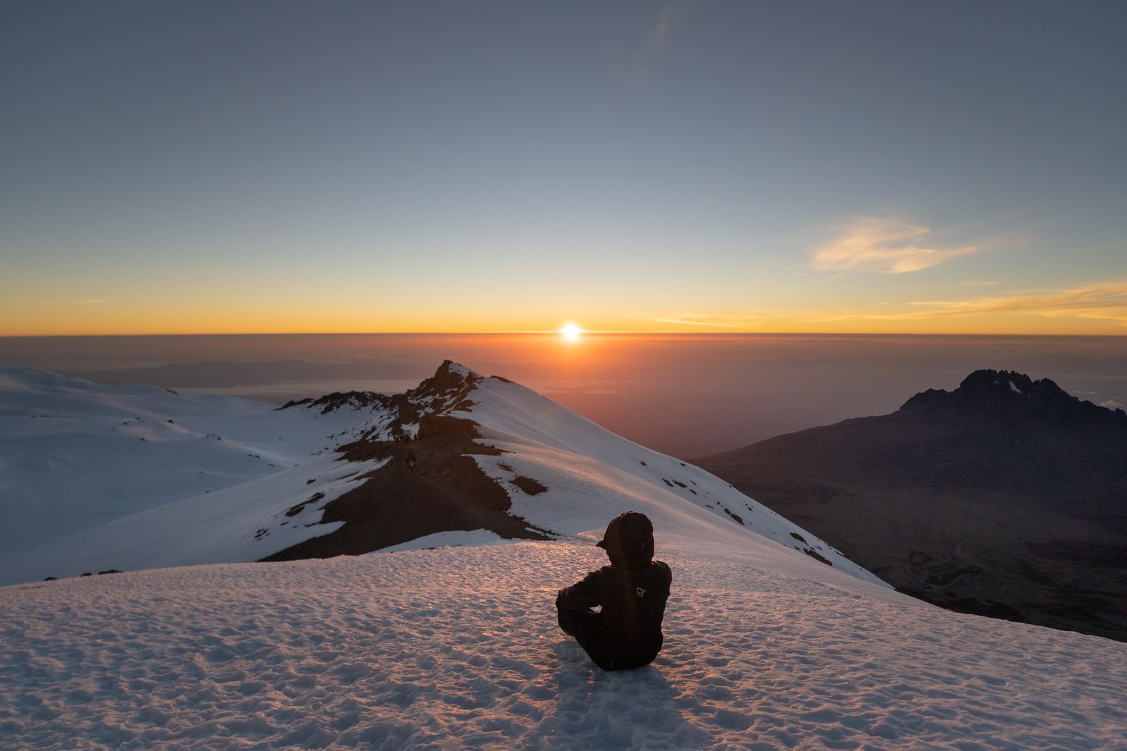
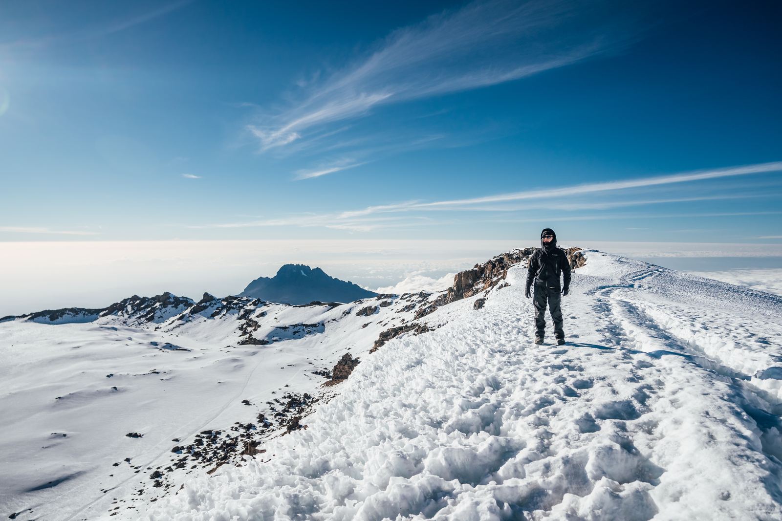
Then, after roughly six hours of climbing, the horizon to the east began to glow. The darkness lifted from deep black to navy to a ribbon of molten gold. We hauled ourselves over the crater rim to Stella Point at 18,885 feet (5,756 meters) just as the sun broke free, and what we saw stole whatever breath we had left.
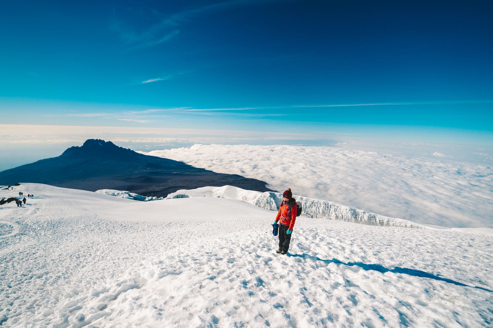
Sunrise from the crater rim. Mawenzi Peak to the right, the world below lost in cloud. Six hours of darkness rewarded in a single, infinite moment.
Below us, a perfect sea of clouds stretched to infinity, lit from within by the sunrise. The glaciers of Kibo gleamed white and blue. We were above the weather, above the world, and the beauty of it was almost unbearable.
From Stella Point, the final push to Uhuru Peak is a 45-minute traverse around the crater rim, a walk through snow and ice with the glaciers close enough to touch and the entire African continent spread below.
The final traverse, walking the crater rim from Stella Point to Uhuru Peak. Every step felt earned.
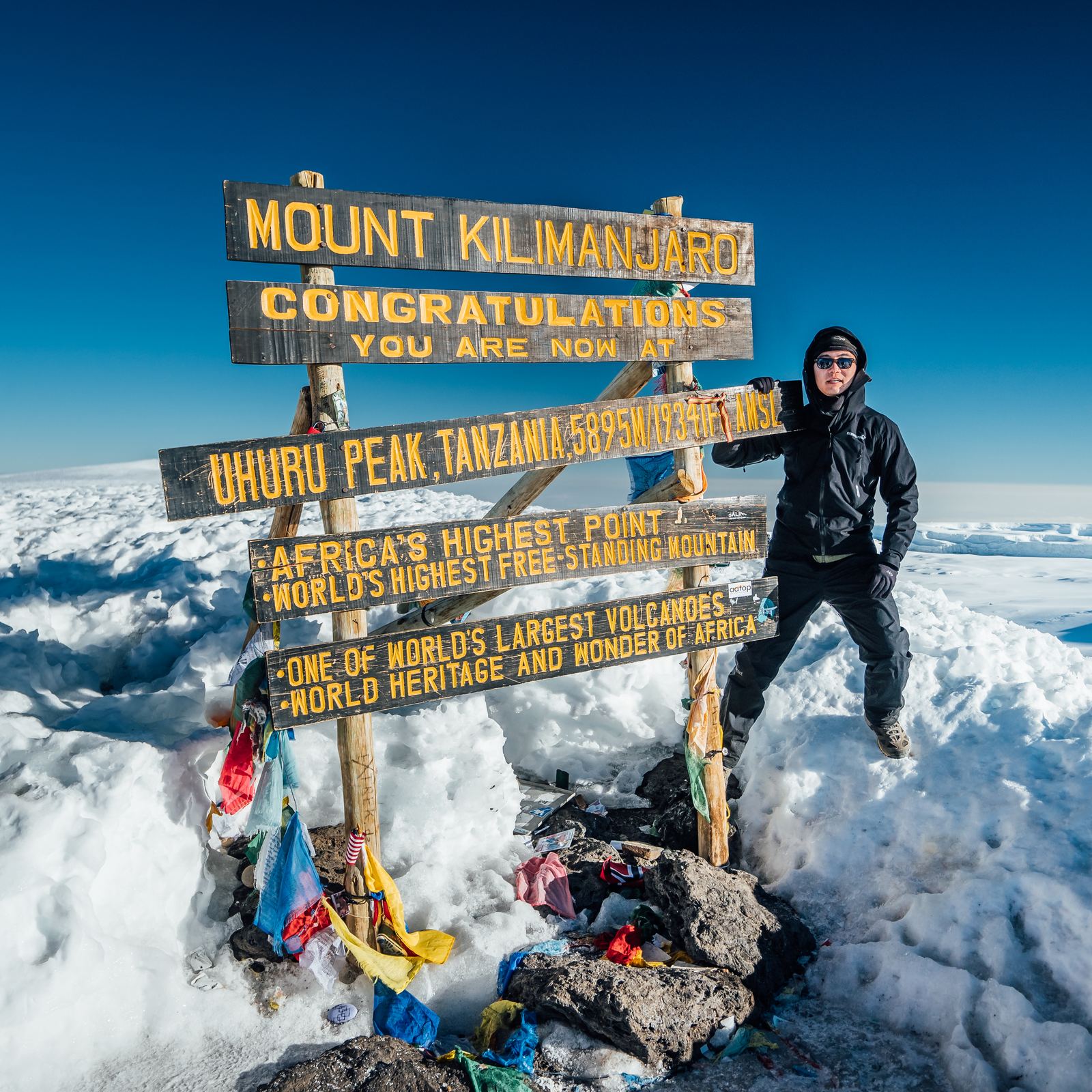
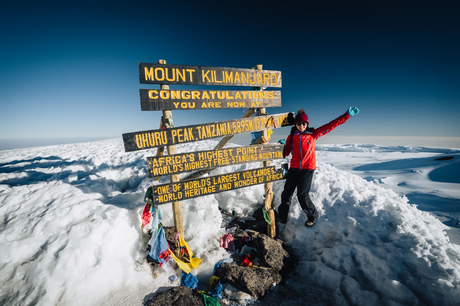
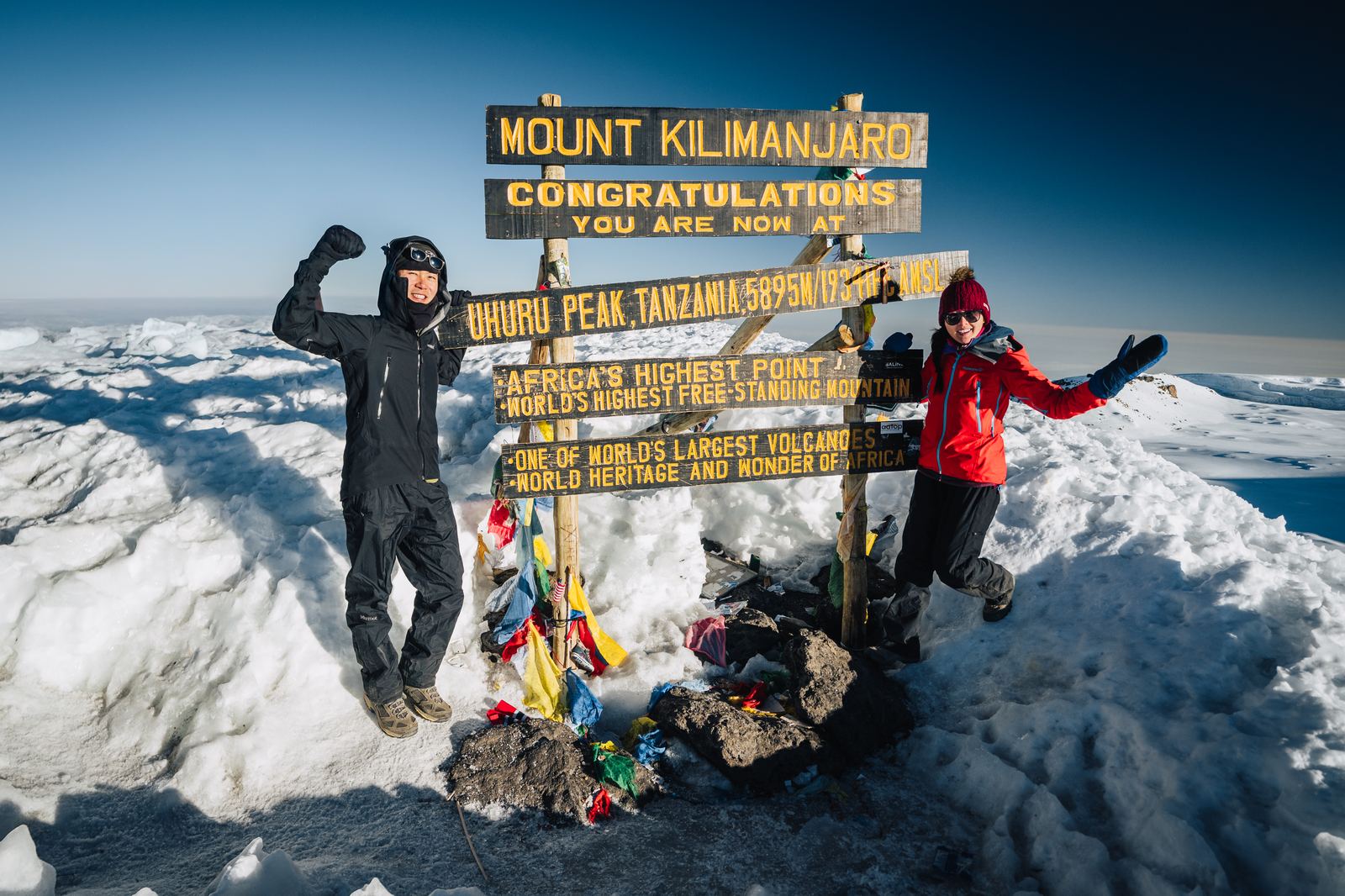
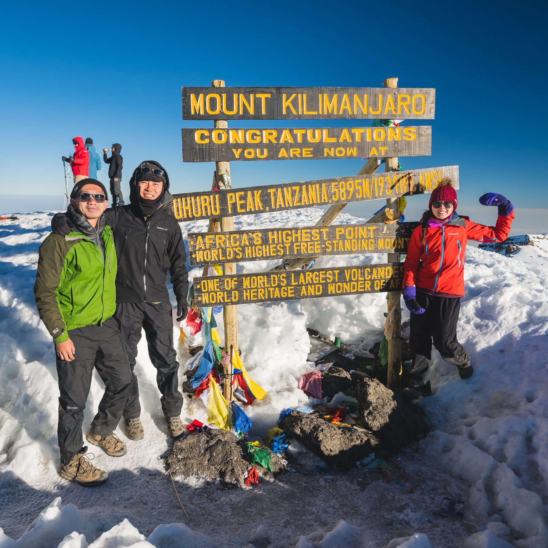
The famous wooden sign appeared through the glare: "UHURU PEAK, TANZANIA, 5895M AMSL, AFRICA'S HIGHEST POINT, WORLD'S HIGHEST FREE-STANDING MOUNTAIN." We had done it. Exhausted, barely able to breathe, chests heaving with altitude and emotion, we embraced and let the tears come. We were standing on the Roof of Africa.
5,895 m
Uhuru Peak, the Roof of Africa
Jason at the top of Africa. 5,895 meters. Worth every step.Grace at the summit. All smiles after the hardest night of the climb.
Together at the Roof of Africa. Summit one of seven, in the books.The whole team at the Roof of Africa.
We spent an hour at the summit, turning slowly in the thin air, trying to press every detail into memory: the glacier walls, the volcanic crater, the curvature of the earth at the horizon. The mountain reminded us, as mountains always do, that we are very small pieces in a very big world. It was humbling in the most beautiful way, and it gave us the drive to keep going, keep exploring, and keep reaching for the next summit.
The Descent: Scree, Celebration, and a Cold Beer
July 8, 2018 · Uhuru Peak → Mweka Route descent
Coming down was a different kind of hard. The scree slopes that had been agonizing to climb became controlled slides: dig in your heels and let gravity pull you through clouds of volcanic dust. Our knees screamed. The altitude headache lingered. But with every thousand feet we dropped, the air grew richer, and by the time we reached the treeline the world was green and alive again.
Beginning the long descent. Mawenzi Peak behind us, 4,000 feet of scree ahead.
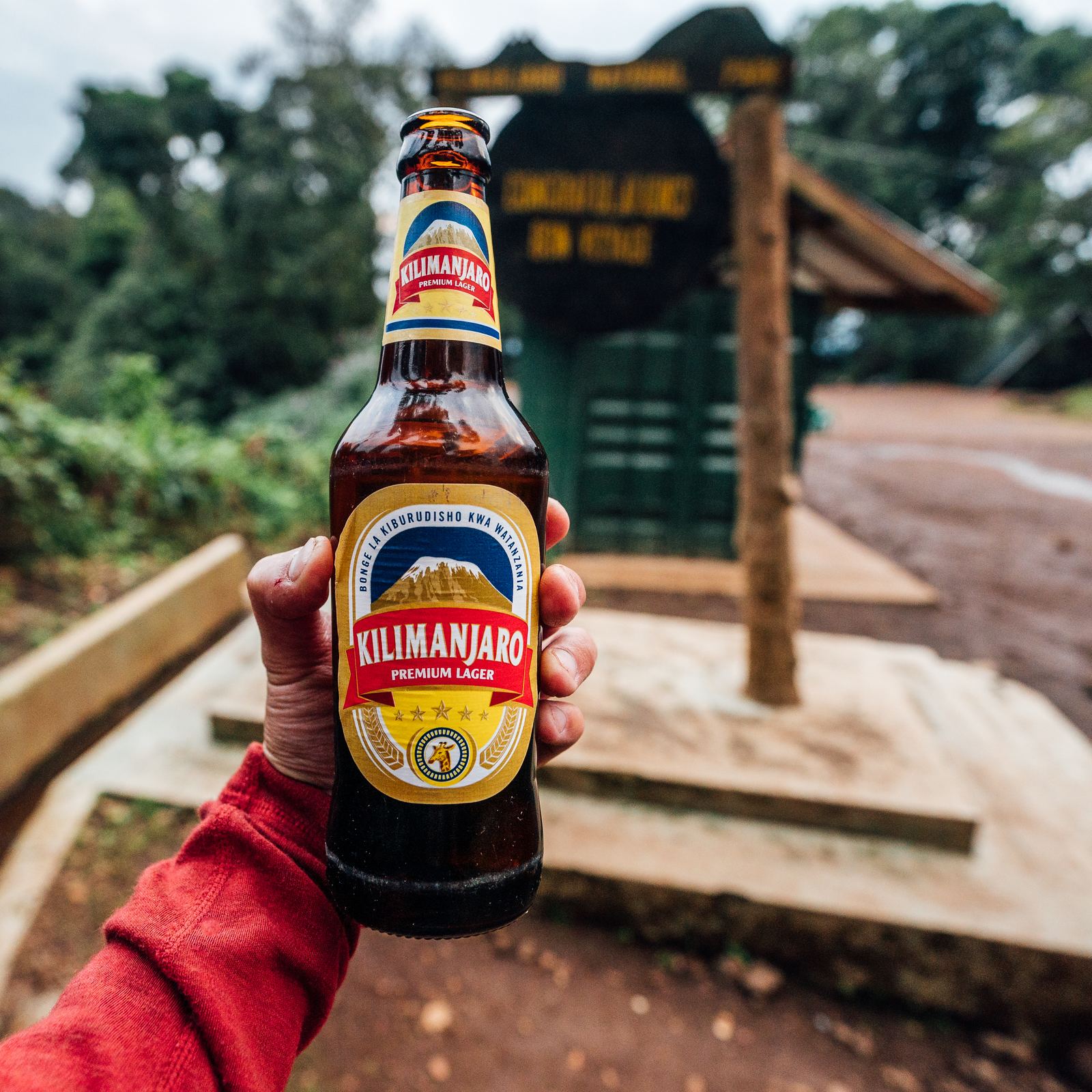
When we finally stumbled off the mountain, our guides were waiting with cold Kilimanjaro beers, the most satisfying bottles we've ever opened. We had been on our feet for eighteen straight hours. We'd traversed every climate zone on the planet in five days. We had watched the sun rise from the top of Africa. And as we sat there, dusty and depleted and grinning, we already knew: this was just the beginning. Kilimanjaro was our first summit. Six more were waiting.
The only appropriate way to end an 18-hour summit day. Cold. Earned. Perfect.
Planning Your Own Kilimanjaro Climb
TL;DR
Machame Route, 5 days, early July (dry season). Expect –26°C on summit night. Budget $2,000–$4,000 all-in. Gear: four-layer system, insulated water bottle (CamelBaks freeze), broken-in boots, trekking poles. Hire a licensed local operator — solo climbing isn't allowed. Go "poli poli" and drink more water than you think you need.
Route
We took the Machame Route ("Whiskey Route"), known for its scenery and acclimatization profile. Other popular options include Lemosho (longer, gentler) and Marangu ("Coca-Cola Route," the only route with hut accommodation). The Machame is steeper but rewards you with diverse landscapes.
Permits & Access
All climbers need a permit arranged through a licensed Tanzanian guide operator. Solo climbing is not allowed. The national park entrance fee was approximately $70/day at the time of our climb. Your guide company handles all logistics.
Timing
The two dry seasons, January to March and June to October, offer the best conditions. We climbed in early July, which is peak dry season. Expect cold temperatures at altitude regardless of season; we experienced –26°C on summit night.
Gear Highlights
Four-layer system for summit night (merino base, fleece mid, down jacket, waterproof shell). Sturdy hiking boots broken in well before the trip. Trekking poles are essential. Our CamelBak water froze, so bring an insulated bottle as backup. Headlamp with fresh batteries is non-negotiable.
Guide Company
We climbed with a local Tanzanian operator for Kilimanjaro. For our later summits (Aconcagua, Elbrus, Vinson) we used Mountain Professionals, led by Ryan Waters, highly recommended for the Seven Summits circuit.
Estimated Cost
Expect $2,000 to $4,000 for a 5 to 7 day Machame Route package including park fees, guides, porters, food, and camping equipment. Flights to Kilimanjaro International Airport (JRO) and tips for your crew are additional.